This trail run event was called the “Mt Natib 50K Trail Run” which was held on April 13, 2014. It was a “By Invitation” event among my trail running friends where only four (4) runners started the race. It was summer time and the trail was dry. All the runners were guided by one of my staff and the “turn-around” point was at the peak of Mt Natib. All the Finishers were able to establish a finish time of sub-14 hours and nobody was lost along the trail.
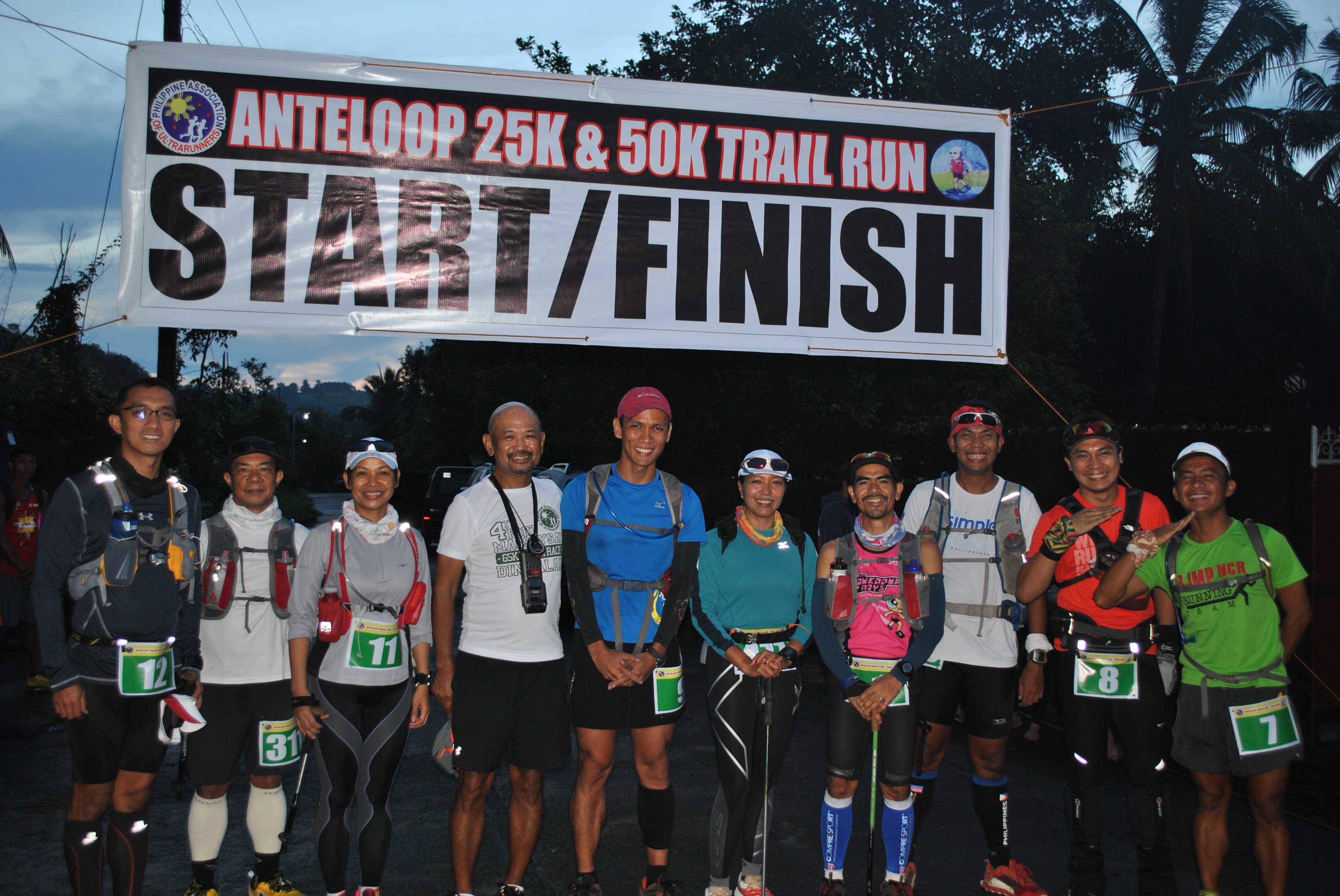
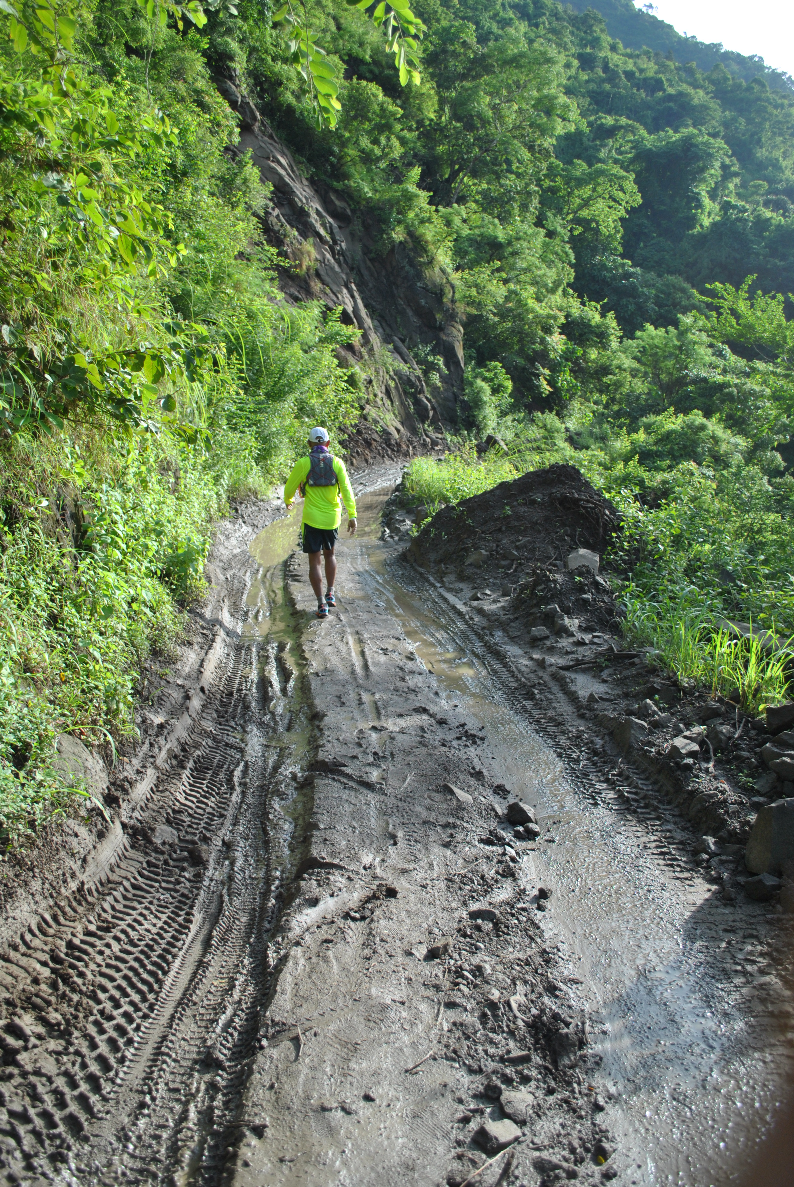
For the “rainy season” edition of this event, I opened this run to everybody through Facebook and changed its name to “Anteloop Bravo”. Nine (9) runners answered the call where four (4) of the runners knew the route. Due to the wet and muddy condition of the trail, I instructed all the runners not to reach the peak of Mt Natib and instead, take a one kilometer distance from “Binutas” to the trailhead at Barangay Tala, Orani, Bataan and back to “Binutas” before going to Mt Natib. The “turn-around” point was the clearing called “Camp 06” before the assault to the peak of Mt Natib. In less than 20 hours, seven (7) runners reached the Finish Line.
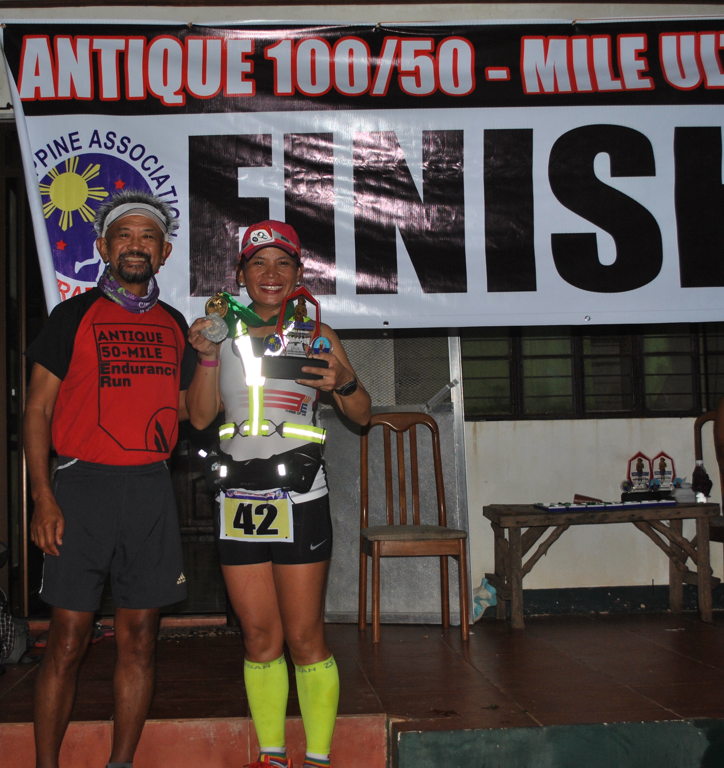
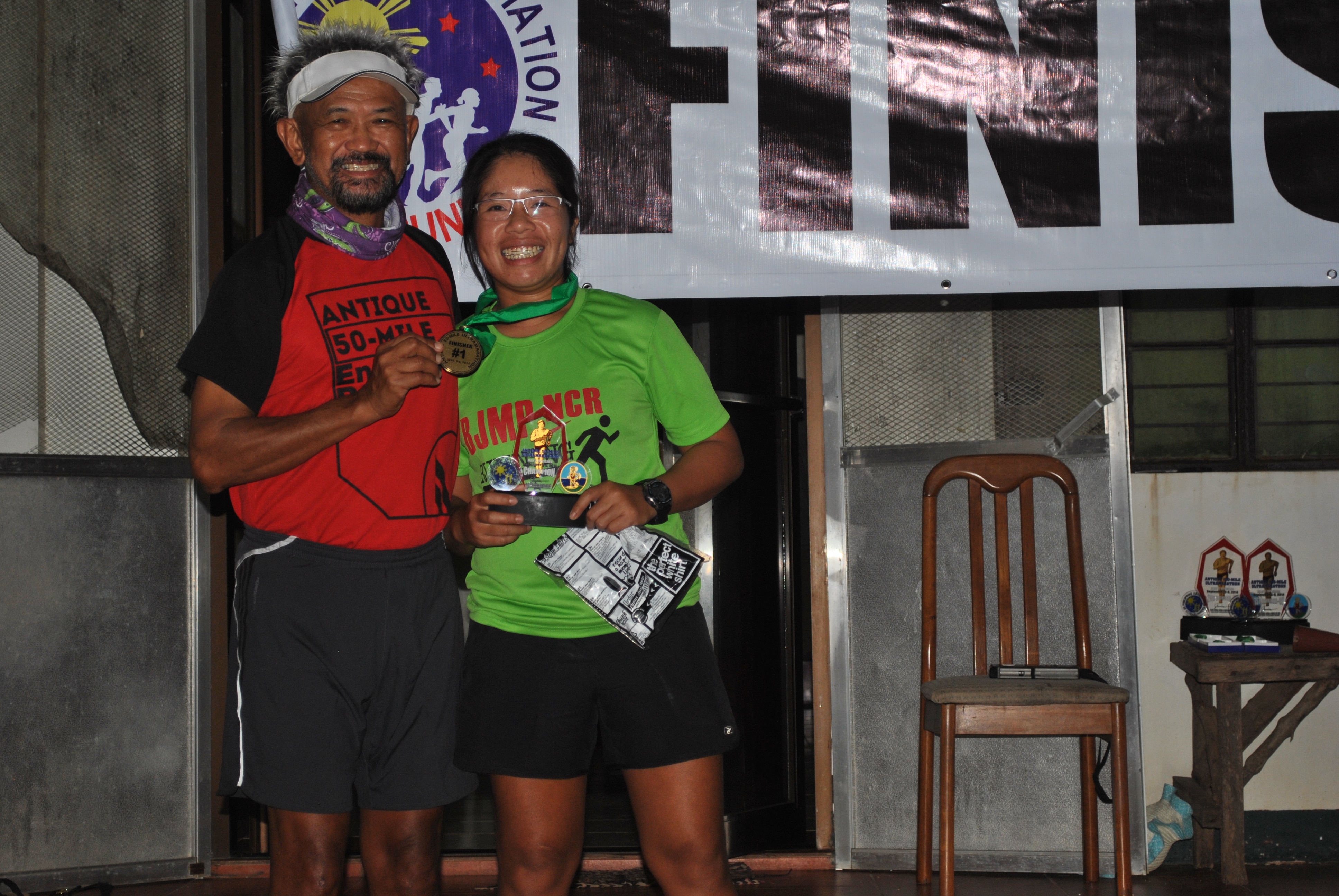
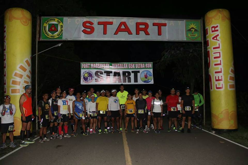
Starters With The RD For The 2nd Anteloop Bravo 50K Trail Run
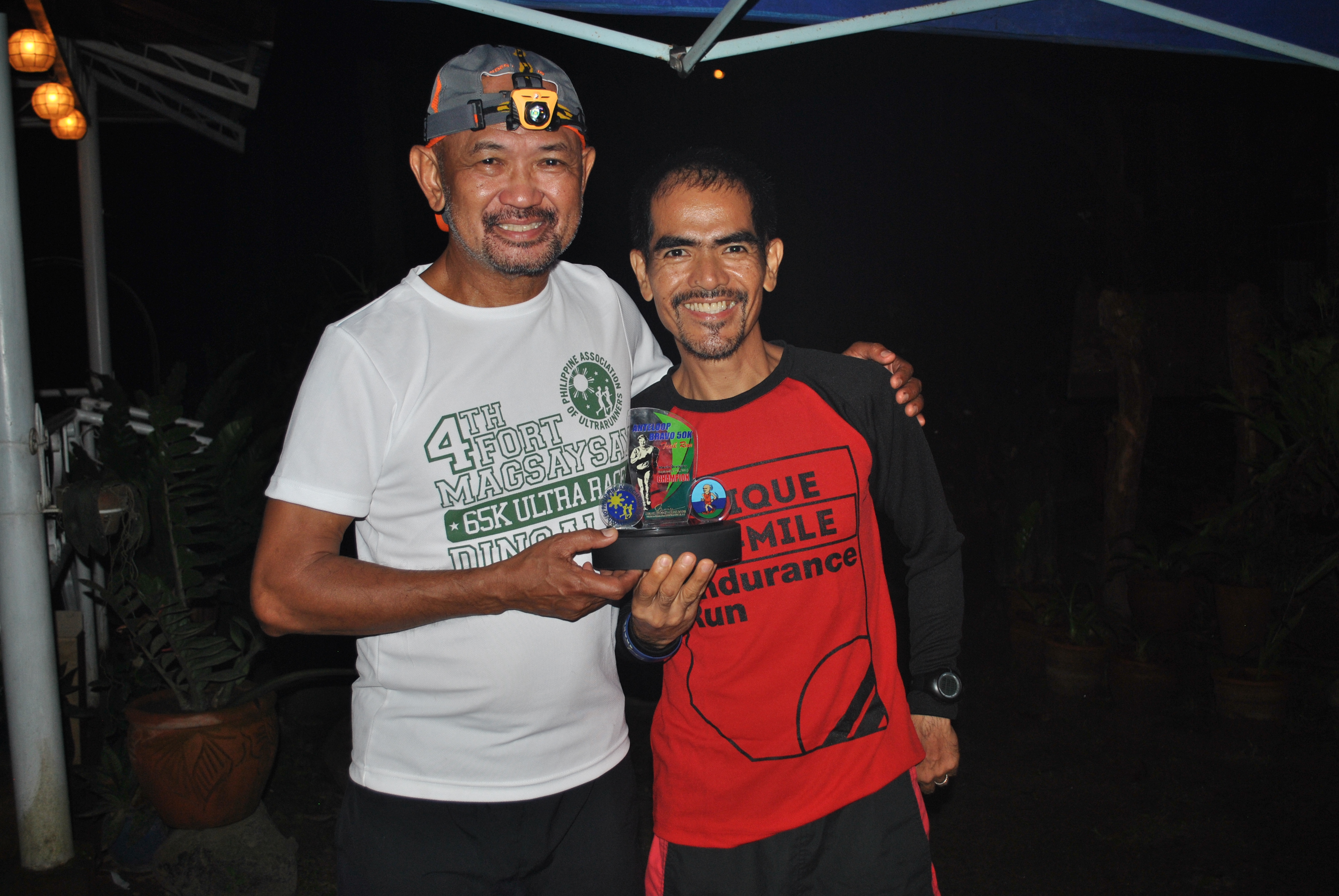
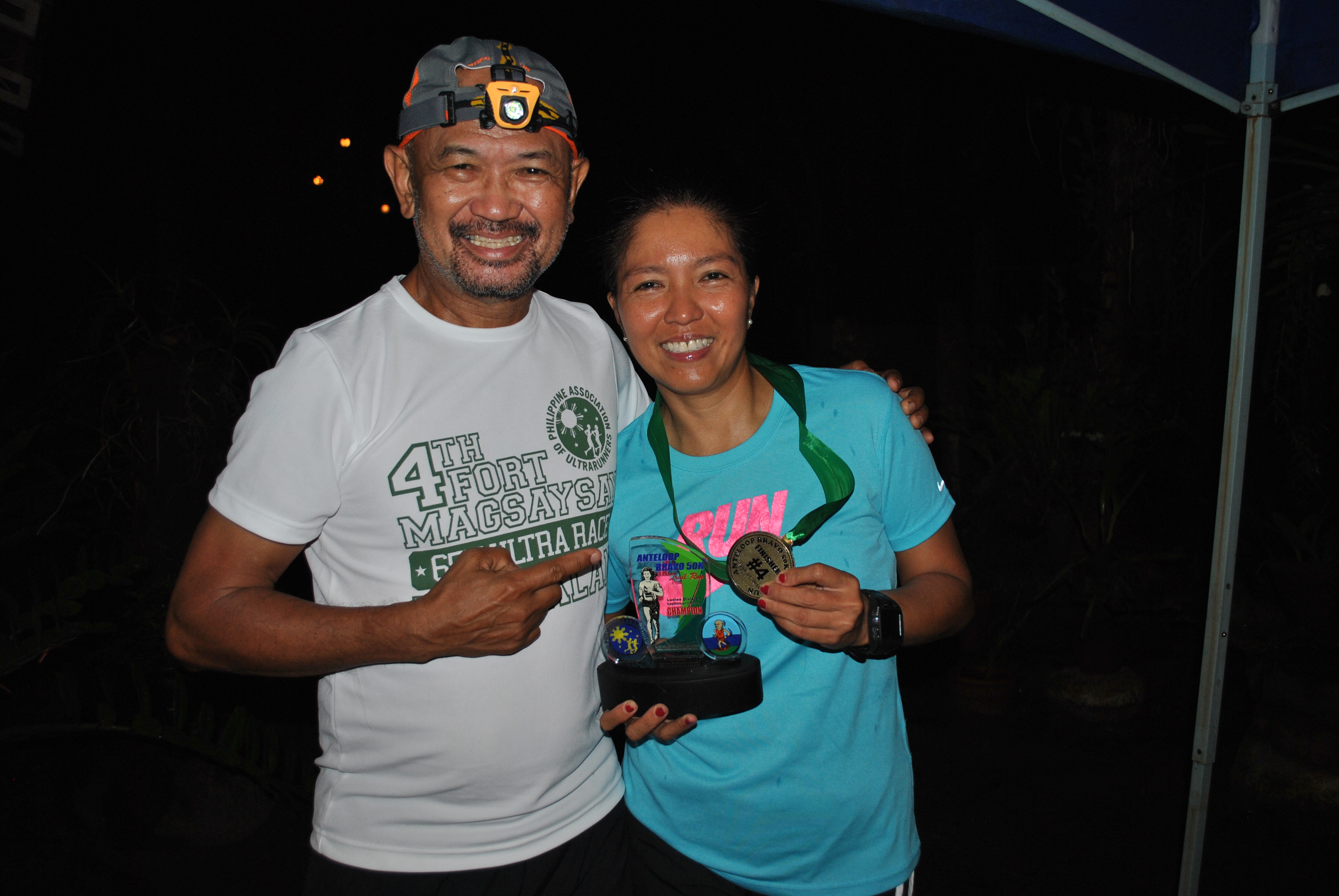
The following is the List of Finishers with their respective Finish Time:
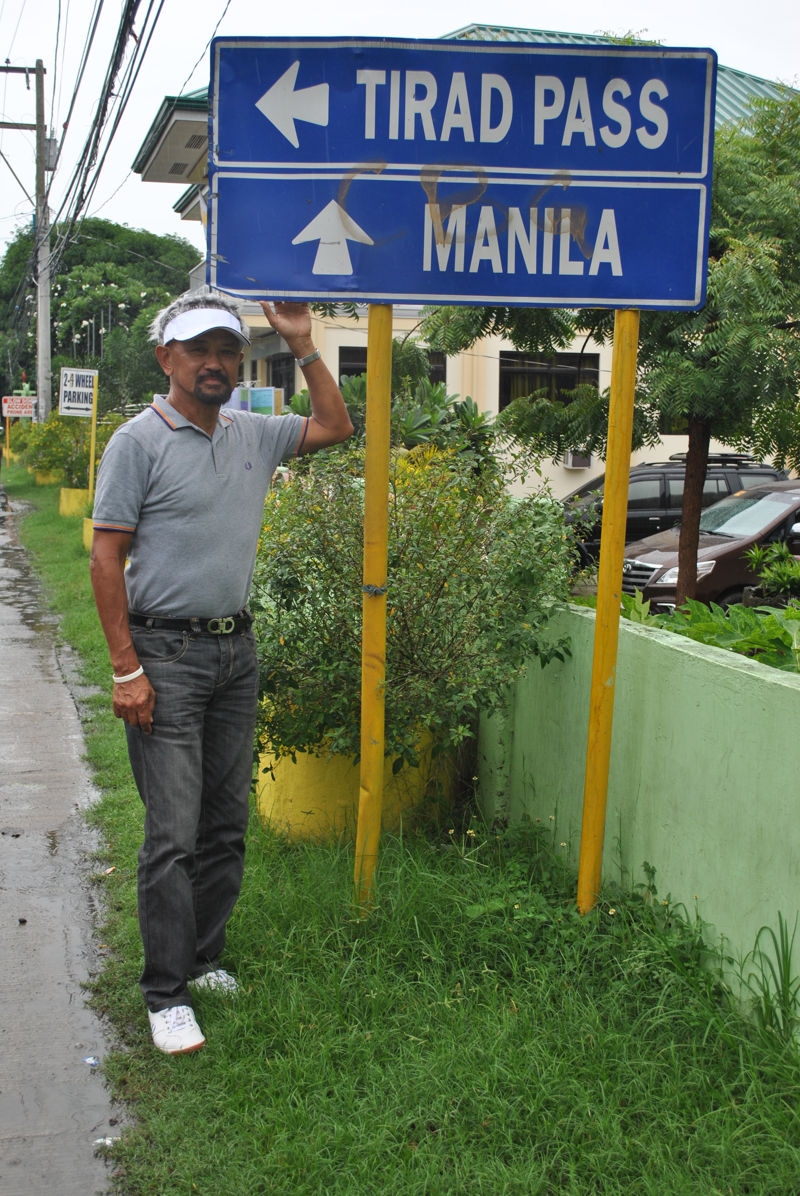
I decided not to stay long in my “Base of Operations” in Salcedo, Ilocos Sur and instead, went directly to Cervantes, Ilocos Sur via the Bitalag-Bessang Pass-Cervantes Road aboard my private vehicle. There will be some more days to be scheduled for me to hike the first segment of the of the route, which is the Candon-Galimuyod-Salcedo- Gregorio del Pilar-Mt Tirad Pass-Quirino-Cervantes Route. This leg has a distance of 73 Kilometers.
I am surprised that the Bitalag-Cervantes Road is fully paved. On the day that I took my road survey, I was surprised that the PNP were stationed and visible in the Poblacion of Towns and Barangay Centers along the route. I had to briefly stop to talk to the uniformed men when I was already in the mountainous part of the route. I asked them why there is a lot of route security elements along the road. They answered me that they were tasked to secure the road up to Cervantes because a VIP and his entourage is going to pass the road and they will be there for the whole day.
Bitalag-Bessang Pass-Cervantes Road
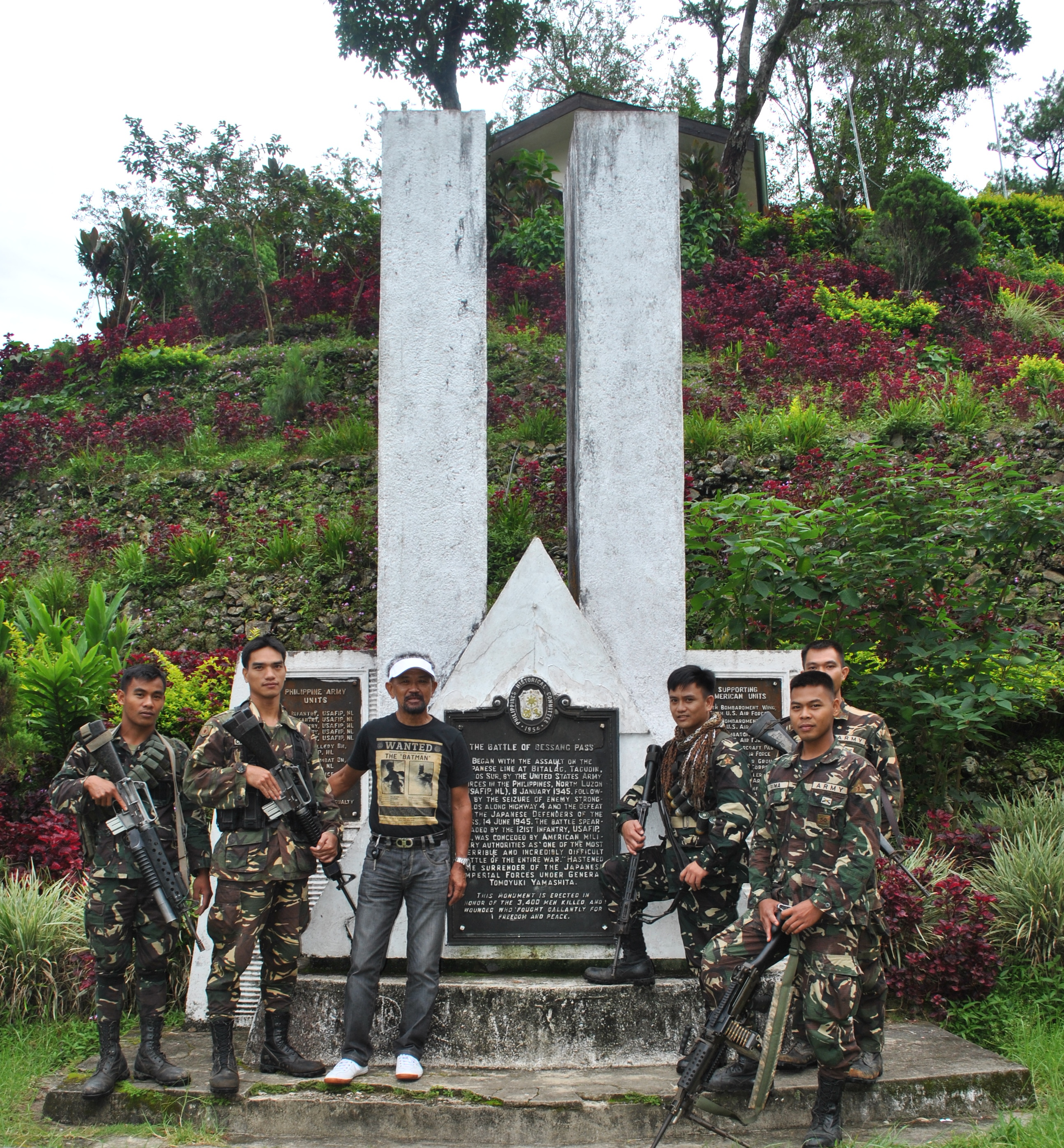
As I reached the peak of the mountain range at the Battle of Bessang Pass Shrine, I could see a group of soldiers from the Philippine Army and took time to stop my vehicle, talk to them and to ask them about their unit’s headquarters and the reason why they are in the area for the task as route security. From the information I gathered, there is an on-going periodic Conference/Meeting among the Regional Directors of all the Government Offices in Region 1 and the meeting is happening in the Poblacion of Cervantes. I also found out that their Battalion Headquarters is located in one of the Barangays of Cervantes situated between the towns of Quirino and Cervantes.
The Battle Of Bessang Pass Shrine
The scenic view of the route from the peak of Bessang Pass and the view of the Cordillera mountains on the east are simply very beautiful and amazing as one would go down on a zigzag road towards the plains of Cervantes. One could see a lot of pine trees beside the road and the mountains seem to be undisturbed by illegal loggers and “charcoal making” industry. The same observation can be gleaned on the Ilocos Sur side of the mountain except for the additional residences/houses that I’ve seen to be added since the time I last passed the area almost 20 years ago. The distance from the Battle of Bessang Pass Shrine to Poblacion Cervantes is 18 Kilometers.
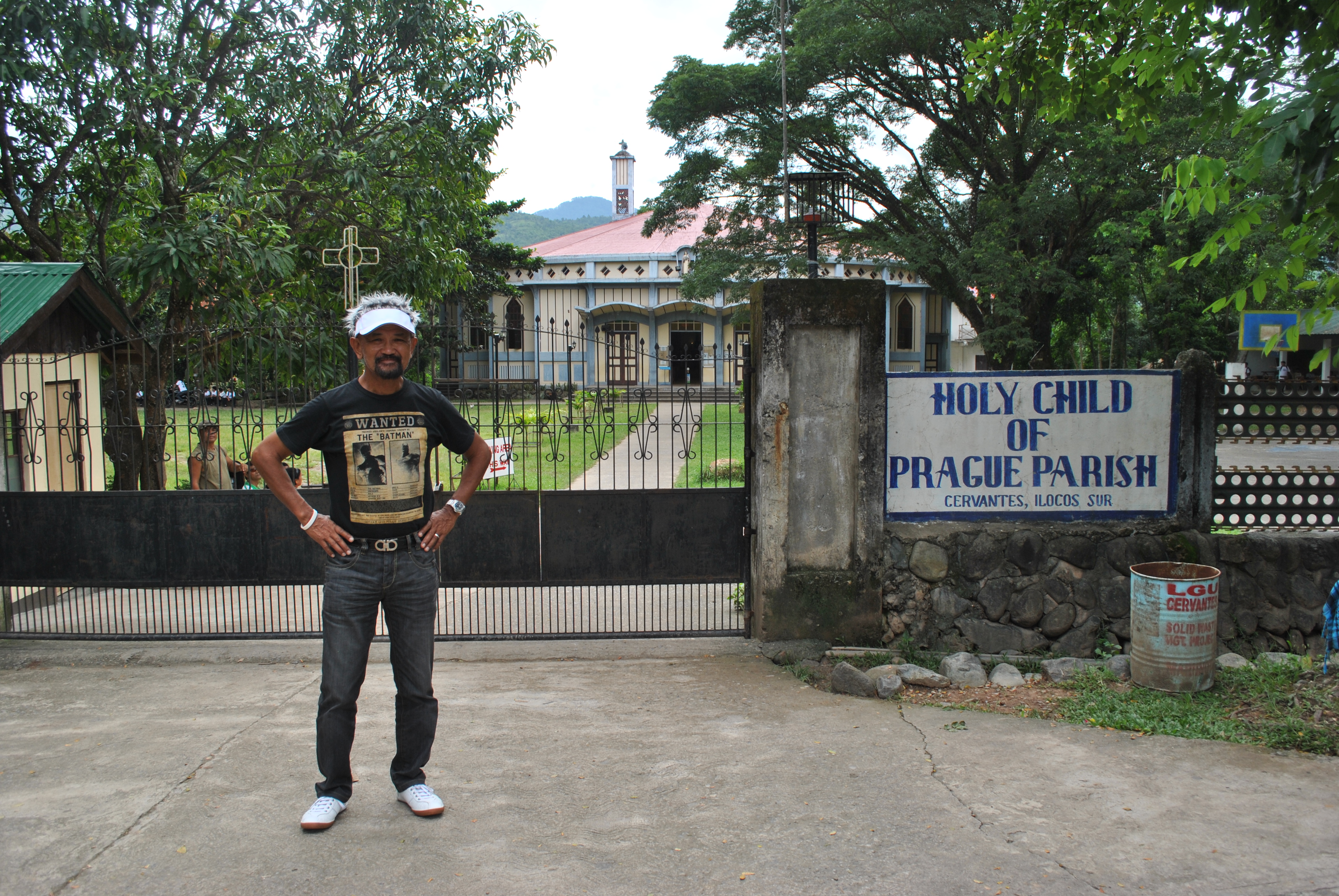
Church In The Poblacion Of Cervantes
Once I reached the Poblacion of Cervantes, I could hardly see a Parking Space on the roads surrounding the Municipal Hall and Public Market. I was luckily to park my vehicle near a road that leads to the Church. I went for a walk towards the Municipal Hall and I could see that a Program and Public Meeting/Consultation was being held with all the Heads of the Government’s Regional Offices taking their turns to speak before the Crowd and answering the concerns of the different “leaders” and Barangay Representatives of the Locals. There was no point of trying to locate one of my friends on Facebook who happens to be the Municipal Secretary of Cervantes and for me to pay a courtesy cal to the Municipal Mayor. I was trying to drive through the Cordilleras and orient myself as fast as I could and there was no way for me to wait until the proceedings would end late in the afternoon.
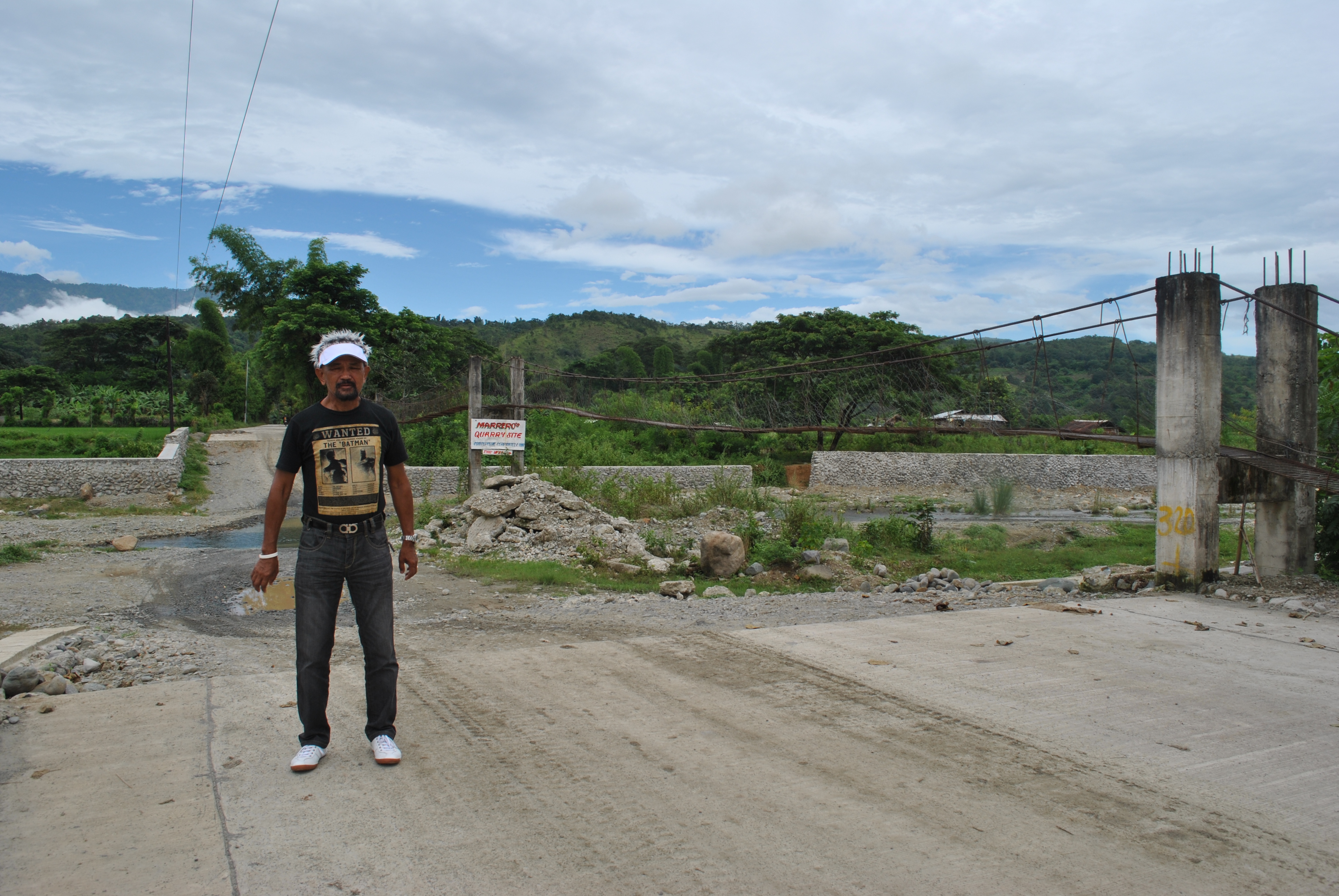
The Only Incomplete Portion Of The Quirino-Cervantes Road
Instead, I talked to two ladies who were selling fried bananas on the street and asked for directions in going to Quirino, Ilocos Sur and the the road that goes to Sagada-Bontoc, Mountain Province. On a crossroad/intersection being manned by 3 personnel of the PNP, I asked them about the directions to take in going to Mountain Province and they gave me a detailed description of the route and warned me on the “new” bridge that I need to cross towards the Cordilleras. Cervantes appears to be the Crossroad to travelers going to Ilocos Sur, Abra (via Qurino), Mountain Province and Benguet. It is the Gateway to the Cordilleras from the Ilocos Region/Northern Luzon Provinces.
Coming from one of the Ilocos Provinces, I would save at least 4 to 5 hours to reach Sagada, Bontoc, and the Banaue Rice Terraces, instead of passing the traditional Naguilian, La Union to Baguio and then to Halsema Highway to reach such places. I wonder on whose Presidential Administration that this road was finally paved and realized but it is concluded that such places in the mountains would be easily accessible to the lowlanders for progress and better economy.
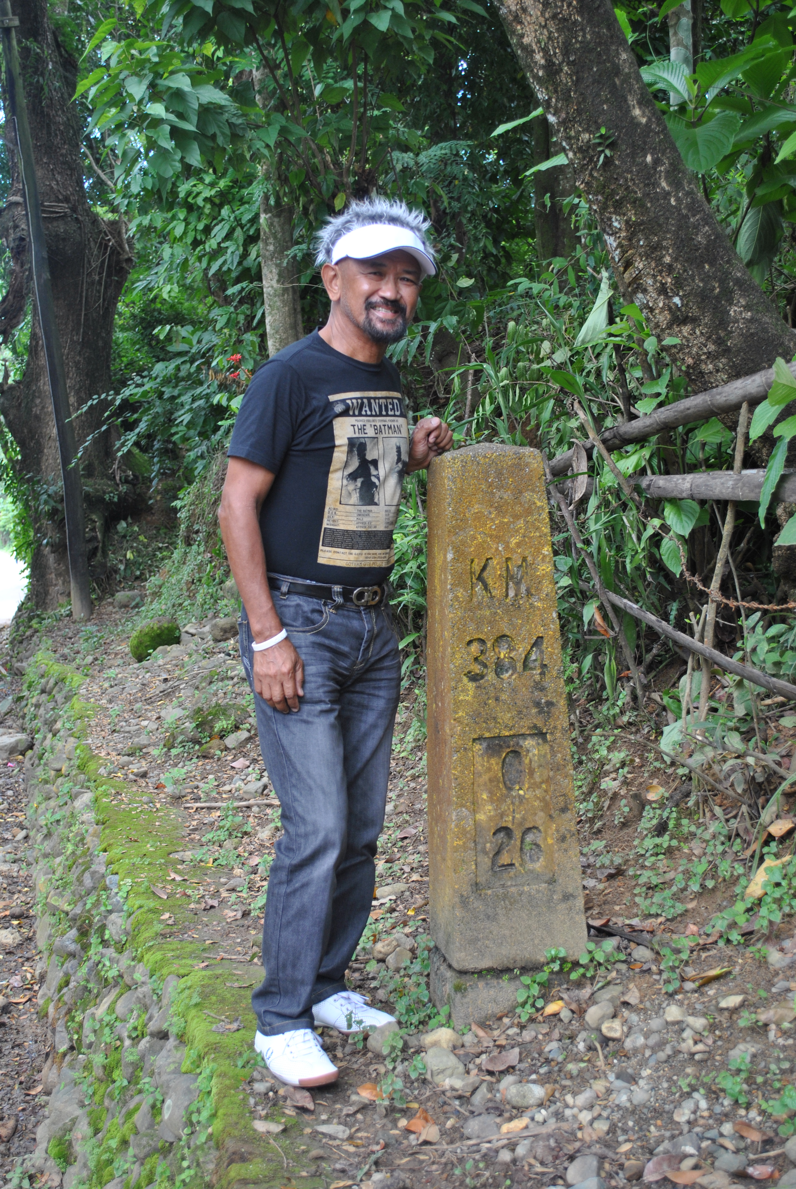
Kilometer Post Towards Quirino (One Km From Poblacion Cervantes)
Knowing that the General Aguinaldo Trail connects the towns of Quirino, formerly known as Angake/Angaki, and Cervantes, I went to the road that connects the two towns but after one kilometer from Cervantes, I stopped before a part of the road that needs to cross a stream of water on a river. After assessing the depth of the flowing water, which is too deep for my vehicle to cross, I decided to just take pictures of the place with the skyline of Mt Tirad as the background. I would see more of this route when I will actually hike the other side of the town of Gregorio del Pilar.
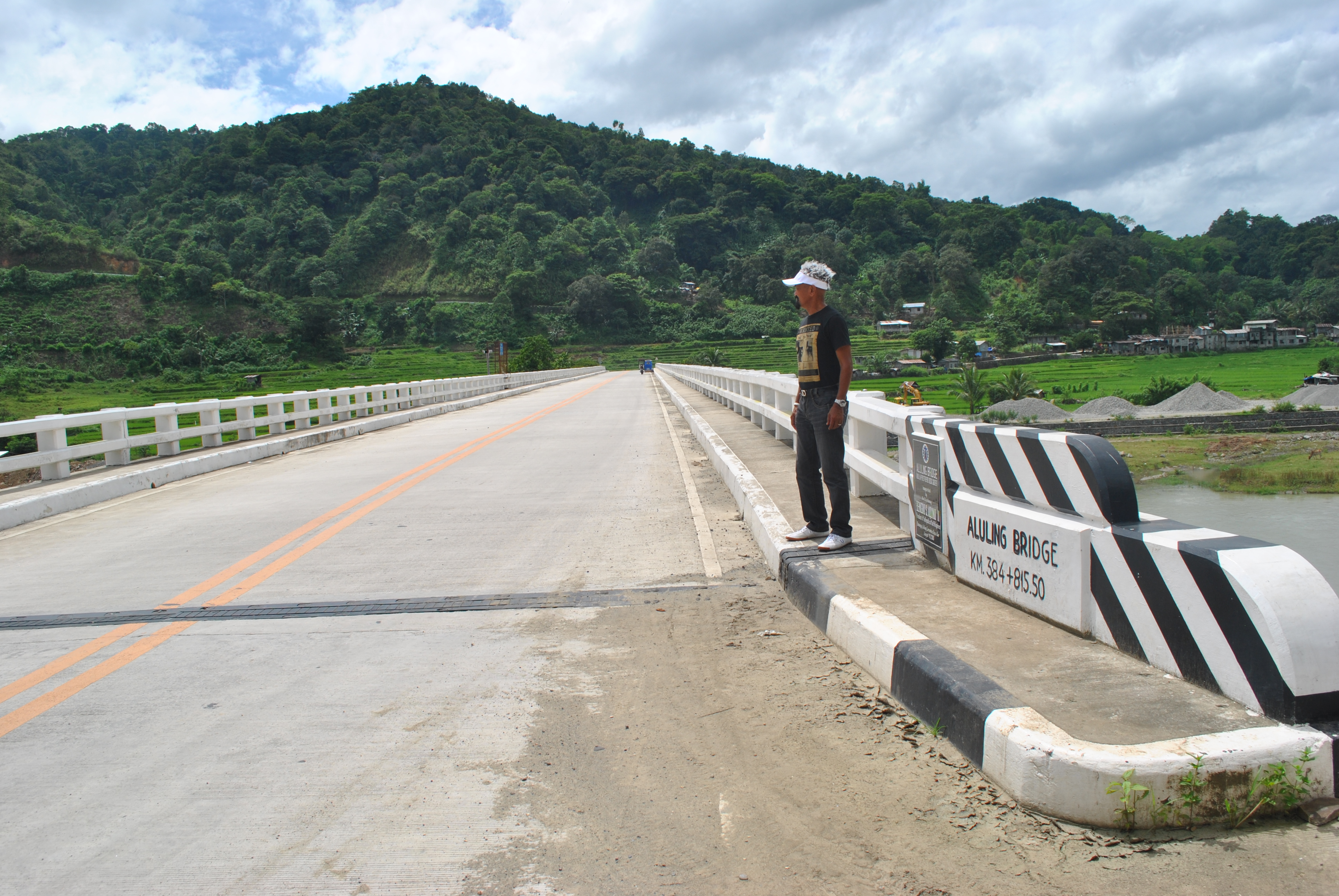
I went back to Cervantes and took the road that goes to Tadian, Mountain Province. The Poblacion of Cervantes is located on top of a hill and for one to leave the place, the road leaving the center of the town is a descending one until it flattens. After a few turns, I could see a long and newly-constructed bridge that connects the lower mountains to the higher ones over a wide banks of a river. I need to stop at the approach of the new bridge for a photo-ops.
The New Aluling Bridge
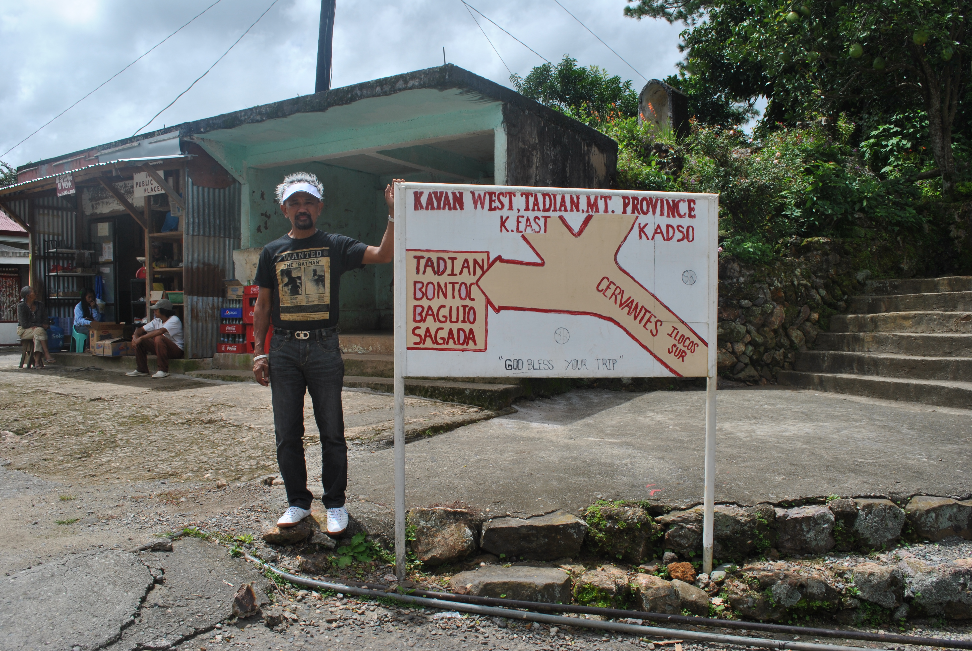
After crossing the bridge, the road starts the ascending route towards the Cordilleras. I observed that few vehicles are plying the route and I only see delivery trucks for groceries and was not able to see any other private vehicle along the route until I reached an intersection where the other road leads to the barangays of the Municipality of Tadian, Mt Province and further up to the Halsema Highway that leads towards the province of Benguet and the City of Baguio.
I stopped by an intersection, took some pictures and talked to the locals who happens to be waiting for a ride and the owner of the store near the intersection. The old women who own the store was not aware and ignorant about the history that unfolded in their place but the middle-aged man who was sitting as if he was waiting for a ride, would start talking to me by answering my questions about General Aguinaldo’s presence in the area at the turn of the century. He would recall the stories from his old grandparents and parents about the presence of Katipuneros who passed their area. He confirmed that the road that goes to Tadian, Mountain Province is the same route that goes to Bontoc in the early days, popularly known then as the “Spanish Trail”.
The First Critical Intersection From Cervantes To Bontoc, Mt Province
It was nice to renew my ties with the people that I’ve met during my active military service now that I am retired. The former Municipal Mayor “Lofre” Gironella of Salcedo, Ilocos Sur was my host during my stay in the area of Ilocos Sur for two days. I have found out that he was responsible in extending the paved road from the Poblacion of Salcedo to Barangay Bulala, Salcedo, a distance of 6 kilometers, and situated the road on the side of the mountain, thereby avoiding at least 13 river crossings at the Buaya River. The trip from Salcedo to the Poblacion Gregorio del Pilar had been shortened due to his efforts. I’ve seen also the presence of hanging bridges on top of the river which could be used by hikers when the river is too deep to be crossed. The former Mayor is fond of planting trees during his three terms and one could see how thick the forests in their mountains. He is proud to say that there is no illegal logging or “charcoal making” industry in his town.
My Host, The Former Municipal Mayor Of Salcedo, Ilocos Sur
I told him about my plans of hiking the General Aguinaldo Trail and promote its awareness to the public so that history will be remembered and tourism will boost in their area. He pledged to help my project in coming up with permanent markers along the route. He also briefed me on the prevailing security and peace and order situation in the area and the developments & infrastructural structures that were established since I left the place.Practically, almost all the road networks in the far-flung municipalities in Ilocos Sur are already inter-connected and the cellphone signal system in these areas are present and efficient.
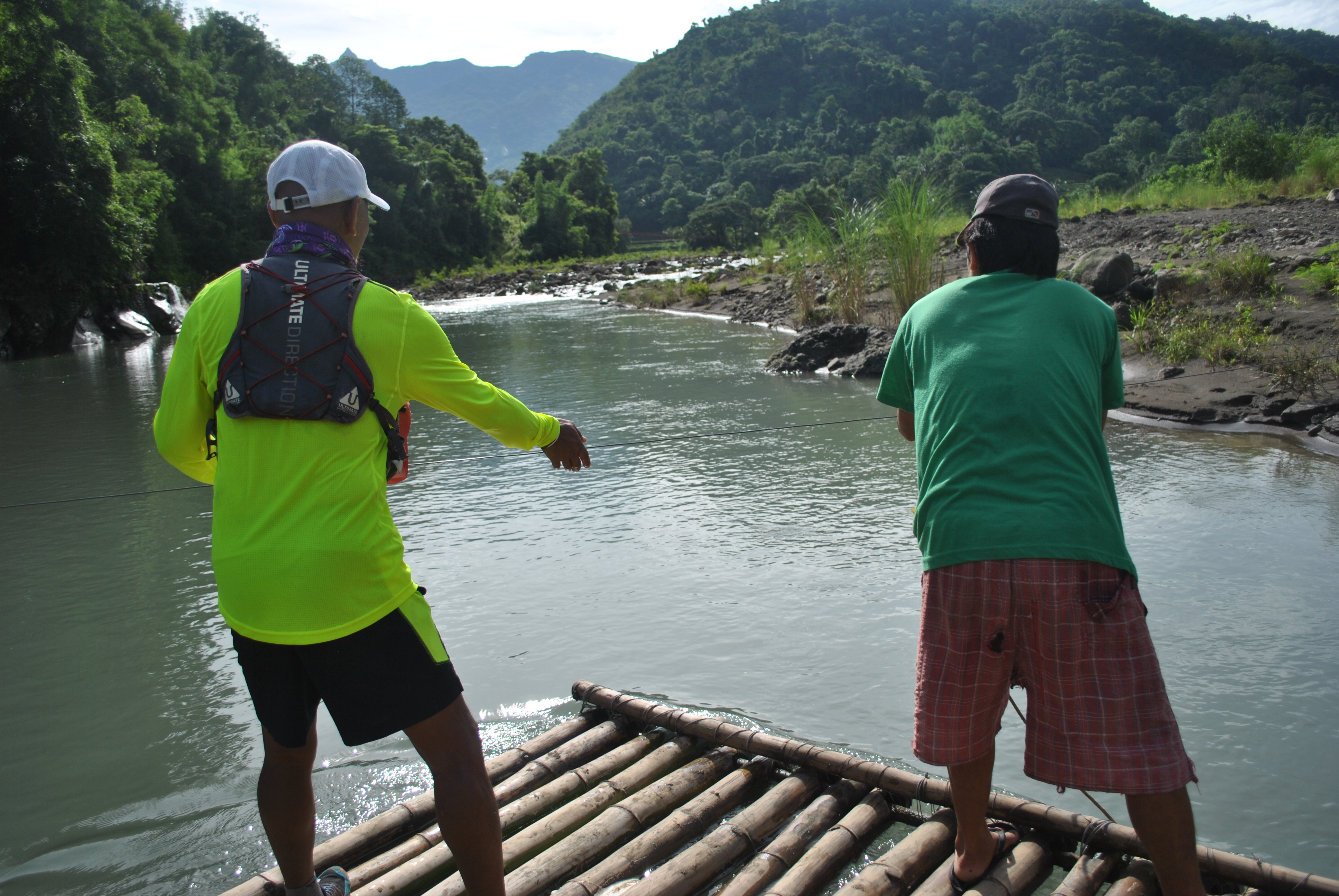
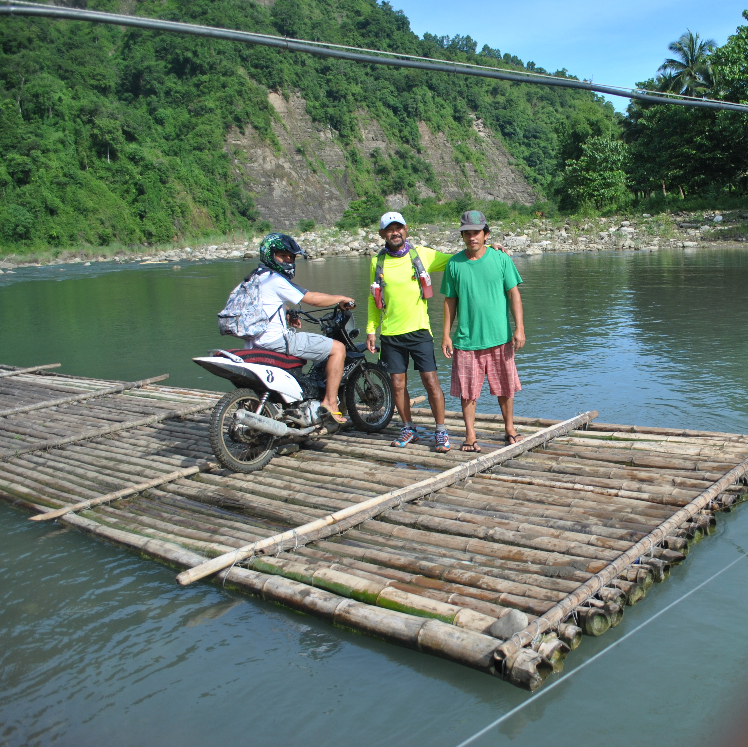
In my hike to the Poblacion of Gregorio del Pilar, I was able to talk to the Bamboo Raft Guy whose job is to bring motorcycle-riding persons across the river coming from both sides. It takes the Raft Guy (I forgot to get his name) about 30 seconds to pull the wire as the raft would move across the river. Each motorcycle-riding person would pay him Twenty Pesos (P 20.00) for the effort. He told me of another path/way if we don’t want to take his raft but just the same our feet would be damped and wet with lots of water falling from the side of the mountain where the trail is located. I know that his business is only good for the rainy season and soon his raft will be put into oblivion since Mayor Lofre told me that there is a plan to construct a concrete bridge so that there will be no more river crossings for hikers and vehicles between the towns of Salcedo and Gregorio Del Pilar.
Talking With The Raft Guy
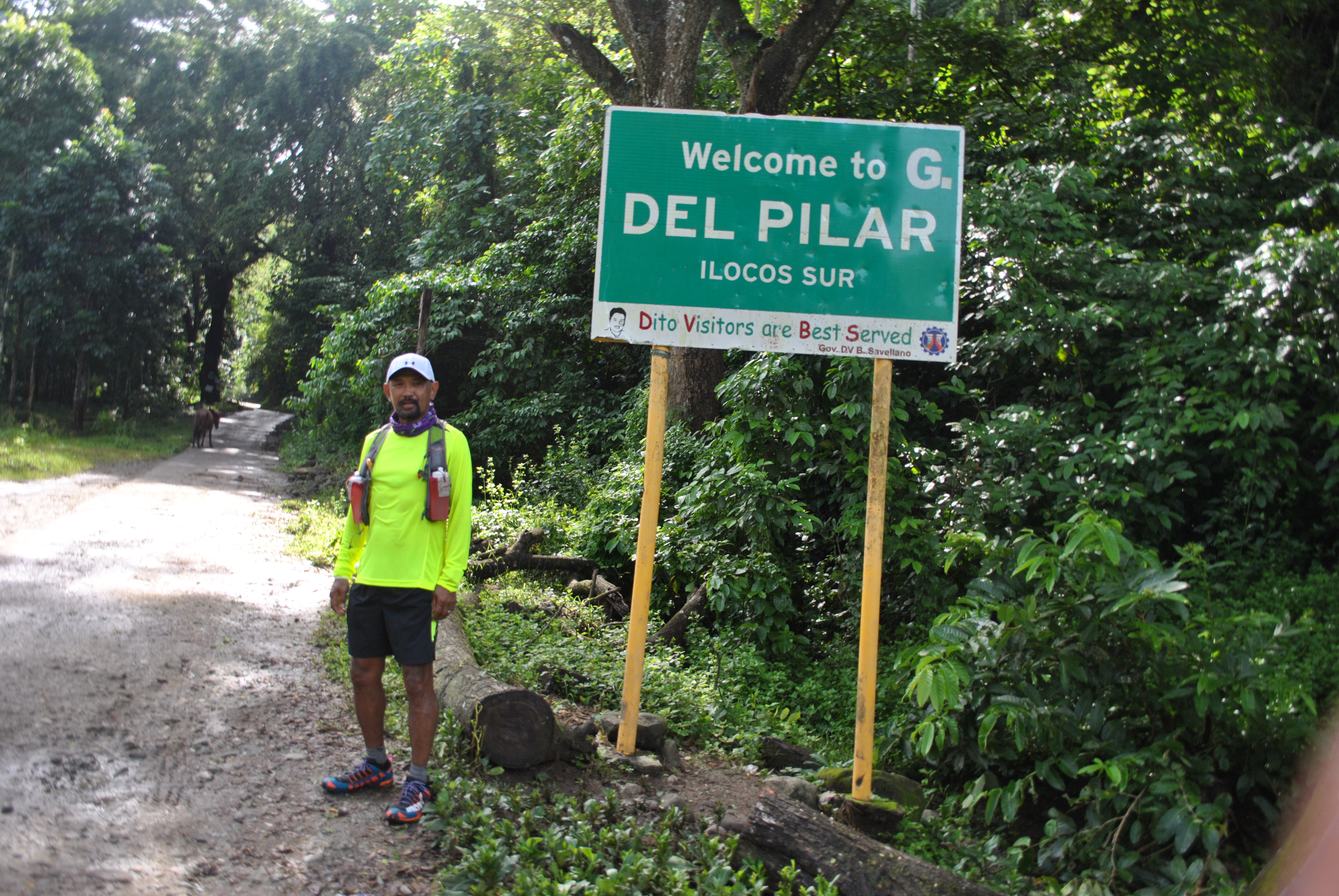
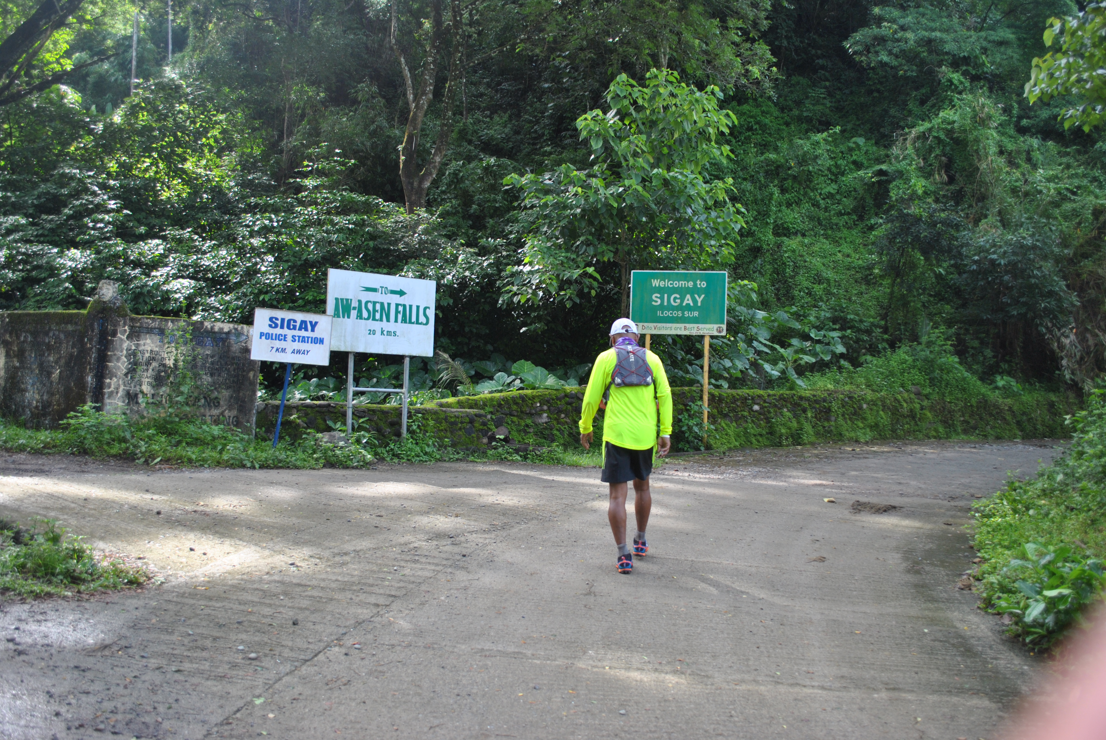
I saw a “sari-sari”/mini-store beside the road after I passed the intersection of Gregorio del Pilar and Sigay Roads. There was an old man sitting on a bench with his arms on the table in front of him. I asked him for two bottles of soft drinks and gave him my payment. I started the conversation in our dialect, Ilocano, and my short “pitstop” became longer to almost 45 minutes as we were joined by another guy who stopped by at the store with his motorcycle. As the conversation became longer, I found out that the guy with motorcycle is a retired Police/PNP and the owner of the store was also a CAFGU & Police Informant.
After introducing myself and telling them about my stint in the area in the mid-90s, they were able to recall and remember me of the things that I’ve done in the area. They remember that I’ve been constantly patrolling/hiking the Salcedo-Gregorio del Pilar route with my soldiers; provided Civil-Military Operations & Medical Missions in the Municipalities of Sigay and Gregorio del Pilar; but what is more significant for them to recall and remember is the realization of establishing a hiker’s camp near the peak of Mt Tirad, beside the spring water source in the mountain. They suspected me then as a “treasure hunter”, thus making the “camp” for my soldiers. However, I told them that the hiker’s camp was made as the “catalyst” for tourists to visit Mt Tirad and the Historical Marker where General Gregorio del Pilar was killed. Due to the Hiker’s Camp, it attracted visits of top officers and Generals of the AFP and PNP, then to the relatives of General Gregorio Del Pilar from Bulacan, then leading to an annual visits of the Cadet Corps of the Armed Forces of the Philippines/Cadets from the Philippine Military Academy (PMA), most of all, it became as “rest area” for the residents of Abra who would like to take a shortcut through Mt Tirad Pass. Both of them were nodding their heads as I was explaining to them that I was the “first” Tourism Officer in their area.
Talking With Retirees & Senior Citizens In The Area
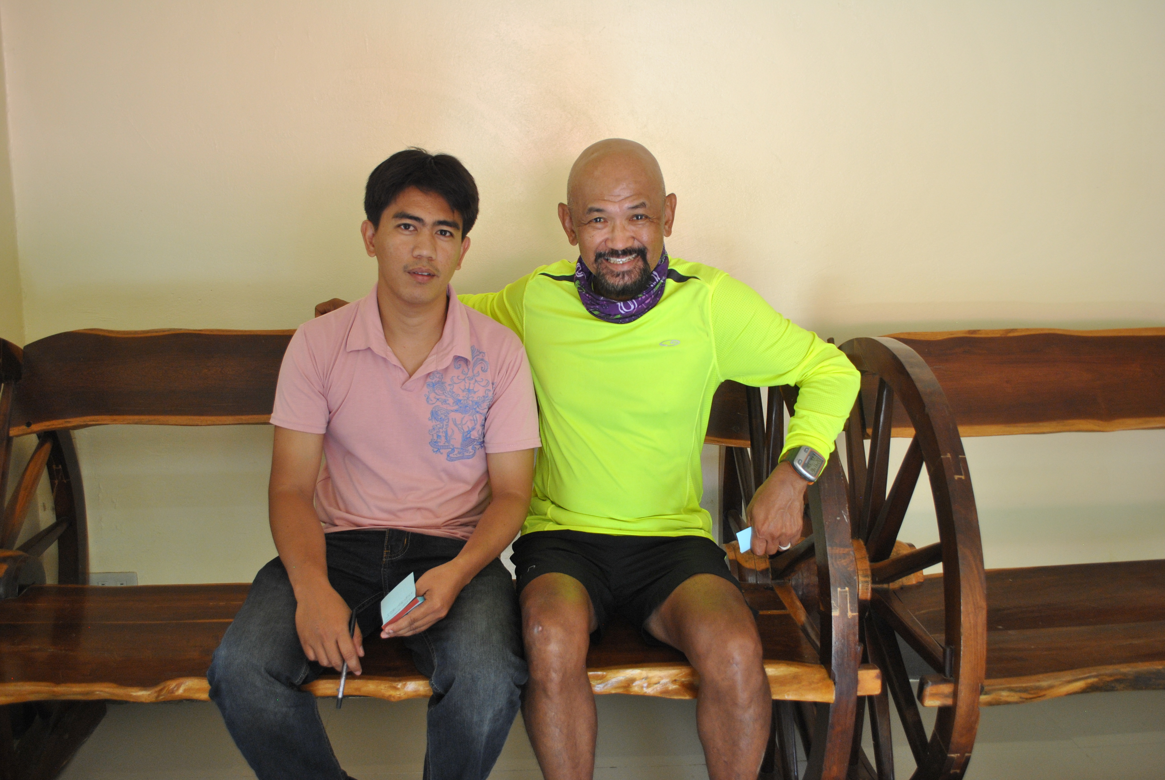
Macario Burgos, the Tourism Officer of Gregorio Del Pilar, gave a lot of vital information about the tourism developments in their town. Mang Gorio, a resident of Barangay Mabatano and whose residence is located on the trailhead to Mt Tirad Pass, died a few years after I left the place/area. Mang Gorio would tell me then the details on how the Filipino soldiers under General Gregorio del Pilar would prepare their defensive positions along the trails leading to the peak of the mountain and how they fought the Americans. He would also vividly relate the whole story on the Battle of Tirad Pass and how the young General was killed during the firefight.
Mr Burgos was six years old when I was assigned in the area and he would know me by my name from a soldier who happened to be my security detail from the time I was the Battalion Commander until I retired from the service. My security detail is married to a resident in Barangay Concepcion of the town who happens to be his Aunt. Obviously, he knows where I was assigned from the time my Battalion Headquarters left the area, in Mindanao, and before I retired from the military service.
Macario Burgos, Tourism Officer Of Gregorio del Pilar
Macario updated me on the latest research he made on the Battle of Tirad Pass. He told me that the survivors of the Battle of Tirad Pass remained in the area and had their respective family instead of going back to the Tagalog Region. He mentioned at least five of them with their respective locations within the confines of the municipality. He even told me that the grandson of the US informant, Januarius Galut, who led the Americans to a trail to another mountain summit that outflanked the positions of the Filipino defenders of the mountain pass, made a research to prove that his grandfather was forced and under duress by the Americans to be used as a “guide”, instead of being known as a “traitor” who was paid by the invading forces. The Galut Clan are still presently residing in Sigay and within the boundary of Salcedo and Galimuyod.
He explained that there are no tourist facilities, like hotels, home stays , and restaurants within the Poblacion because the tourists would proceed immediately to the trailhead in Barangay Mabatano to register and pay a Permit Fee of Twenty Pesos (P 20.00) per person and then proceed to the General Greorio del Pilar Shrine/Monument or go to the peak of Mt Tirad, establish their camp by using their personal tents, sleep thereat overnight, go to the peak of Mt Tirad for photo-ops in the early morning the following day, and then go back to the Poblacion to catch up with the morning trips of jeeps to Candon City. It should be noted that Commercial Vehicles from the Poblacion of Gregorio del Pilar to Candon City is only available in the morning. The same commercial vehicles would go back to Gregorio Del Pilar in the afternoon, coming from Candon City. The Poblacion is thereby used as a “Drop-Off” point for arriving tourists in the afternoon and then as a “Departure Area” for the same tourists on the morning of the following day.
After I briefed Mr Burgos about my intention of re-visiting the place to re-trace the route that General Aguinaldo had taken at the turn of the 20th century, he told me about his story on his hike from the Poblacion Gregorio Del Pilar up to Cervantes, stating the trail condition, the distance and time/period he was able to cover the said distance. He told me that it took him 4 hours to hike from the Municipal Hall of Gregorio Del Pilar to the Poblacion of Quirino, a distance of about 22 kilometers. From Qurino to Cervantes, the trail that General Aguinaldo took is already a paved road where a small portion/river crossing before Cervantes is not yet paved. The distance from Qurino to Cervantes is 27 Kilometers. He added that the area that covers the route is peaceful.
Lastly, he reminded me that the Metal Plaque (A Dedication Message For The Hikers and People of Gregorio Del Pilar For The Construction of the Hikers’ Camp) that was carved and cemented on the face of big rock within the vicinity of the Hikers’ Camp near the peak of Mt Tirad is still there for me to see. That would be a nice mission for me to take a picture of it because my name and the name of the Municipal Mayor of Gregorio Del Pilar then were inscribed in the said plaque.
For four (4) days, I went for a hike and survey to the historic General Aguinaldo Trail from Candon, Ilocos Sur to Lamut, Ifugao which covers an estimated total of almost 300 kilometers of trails and paved roads.
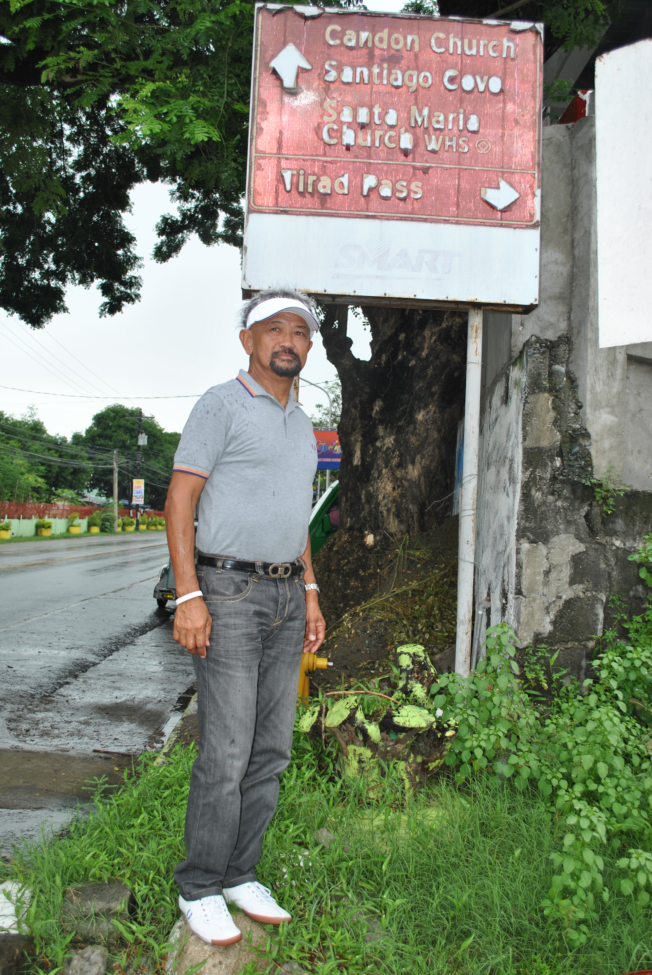
After studying the available maps and sketch of the posted route of General Emilio Aguinaldo, I decided to start the survey and hike at the intersection of Candon Highway with the road going to the towns of Galimuyod, Salcedo and Gregorio Del Pilar. The road intersection is in front of the Candon South Central Elementary School.
In Front Of The Candon City HallIntersection Candon Highway & Galimuyod-Salcedo RoadAnother Entry Point To The Candon-Salcedo Road
I’ve been running on the road from the said intersection in Candon to the Poblacion of Salcedo when I was a Battalion Commander where my Headquarters was located at a high elevated portion of the town which is about one kilometer away from the Municipal Hall. The distance from the Highway Intersection is exactly measured as 12 kilometers to the Poblacion of Salcedo.
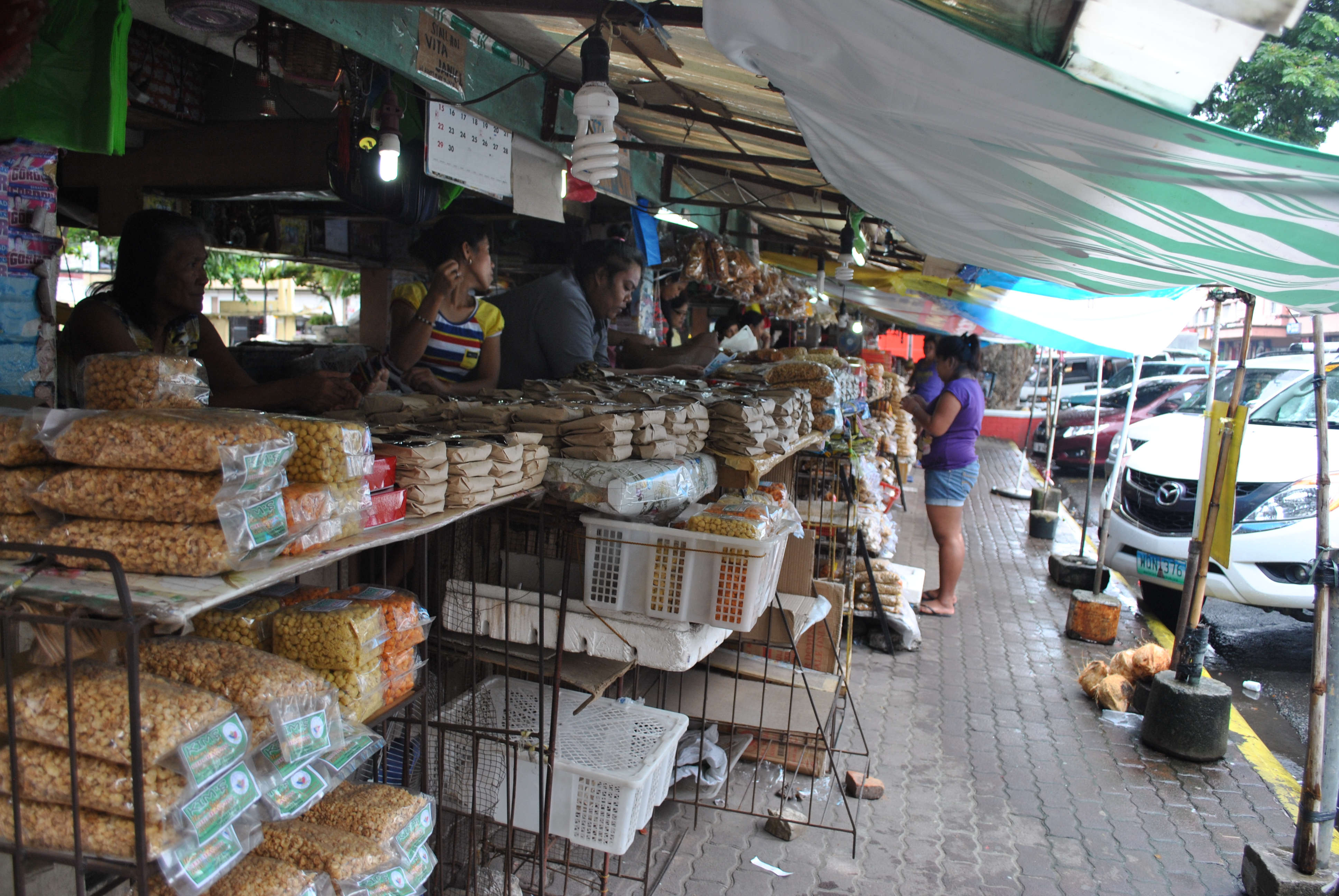
Candon City Is Famous For Its “Calamay”
When I was the Battalion Commander of the 60th Infantry Battalion, I would hike up to the peak of Mt Tirad almost every month and I have measured it to about 24 kilometers from my Headquarters, one way. I had to pass and cross the Buaya River for fifteen (15) times before I would reach the intersection road to Gregorio Del Pilar and Sigay, Ilocos Sur. Bringing with me 15 Scout Rangers who are fast hikers would complete my weekend trips to Mt Tirad.
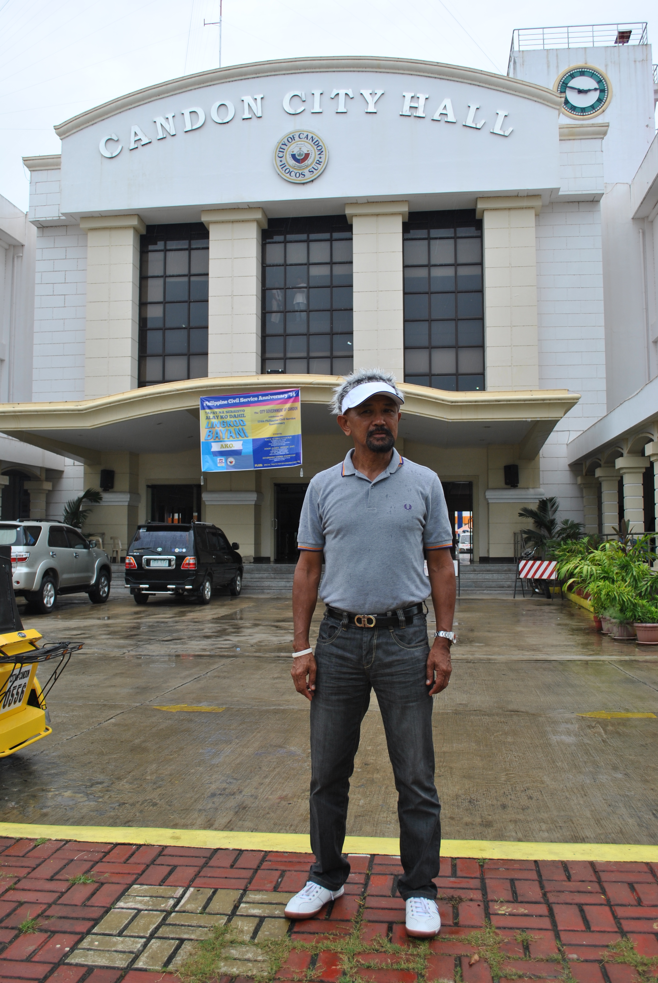
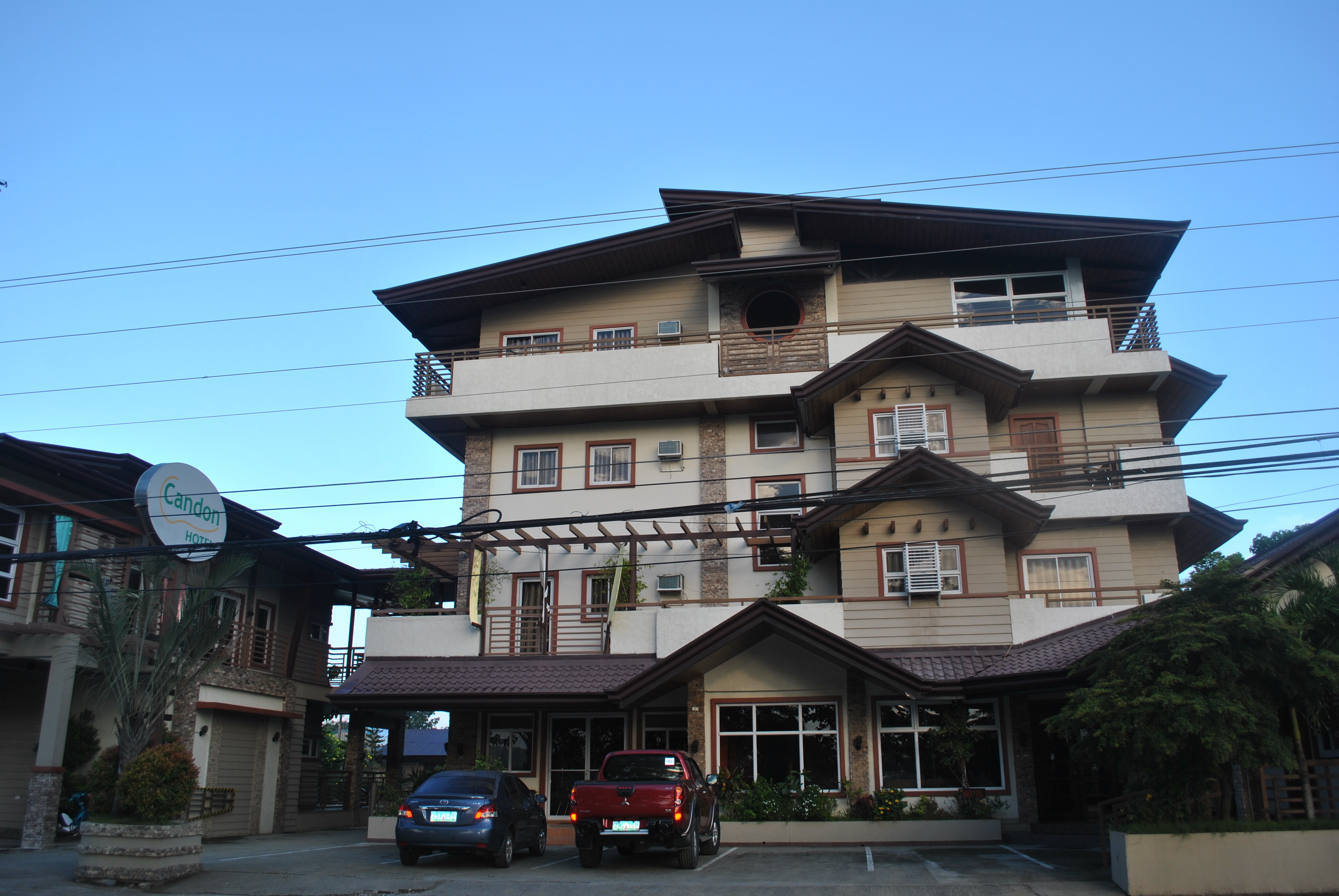
My first step in my survey for the General Aguinaldo Trail was for a courtesy call to the City Mayor of Candon City (Ilocos Sur). The travel from Manila to Candon City is about 5 to 6-hour easy driving in a private vehicle. There are also commercial buses that would pass the city that go to northern destinations like, Vigan, Laoag, or Bangued, Abra. Candon City has also hotels and pension inns located along the Highway and at the Commercial Center of the City. My purpose in paying a courtesy call to the City Mayor of Candon is for him to be aware that his city will be the starting point of the General Aguinaldo Trail. Unluckily, I was not able to catch the presence of the City Mayor in his office after his meeting with his City Council.
Candon Hotel Along The National Highway
My next visit from Candon City was towards the town of Salcedo where I’ve stayed for almost seven months in 1995 and where I’ve established my Command Post while my Battalion was in charge of the provinces of Ilocos Norte, Ilocos Sur, and Abra in our efforts to solve the insurgency situation in the area.
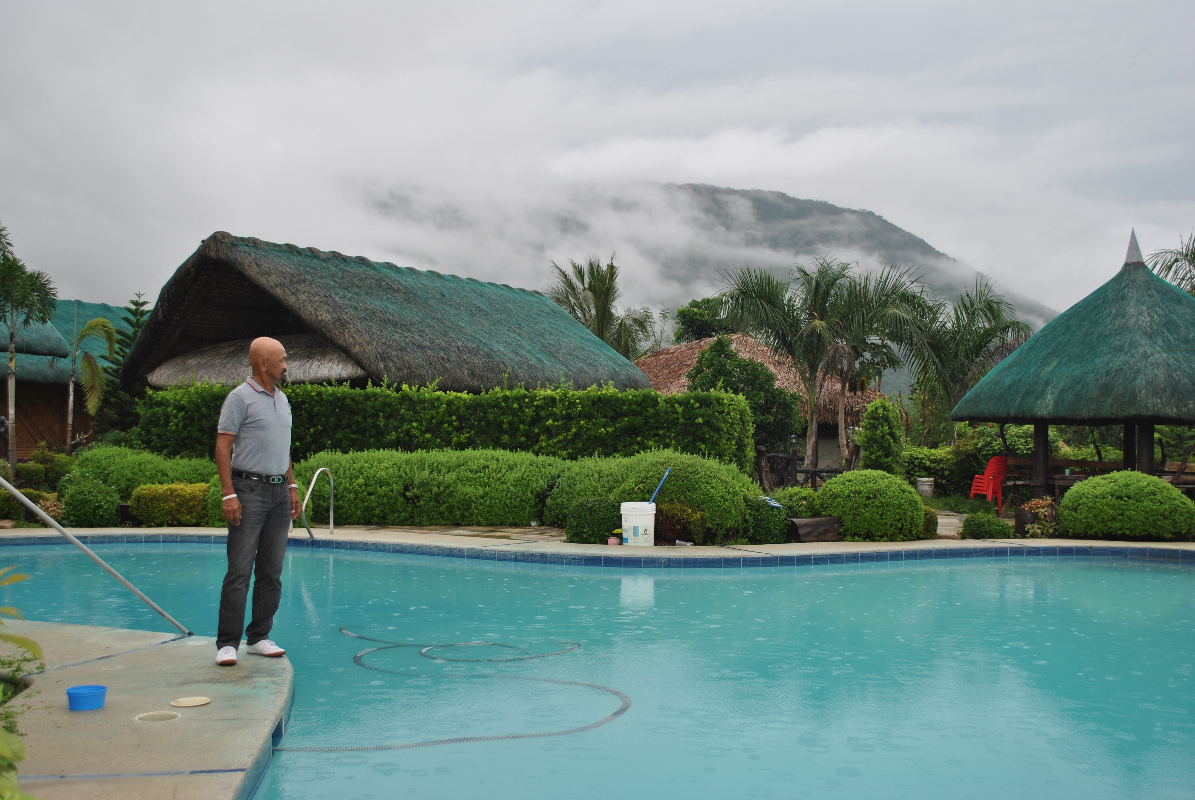
I was surprised to be entertained as a special guest at the Resort of the Former Mayor of the town, who happens to be the Municipal Mayor when I was posted in the area. For the two days that I’ve stayed in the Candon-Galimuyod-Salcedo-Gregorio del Pilar area, the Resort became as my “Base of Operations”.
My Adventure’s “Base Of Operations”
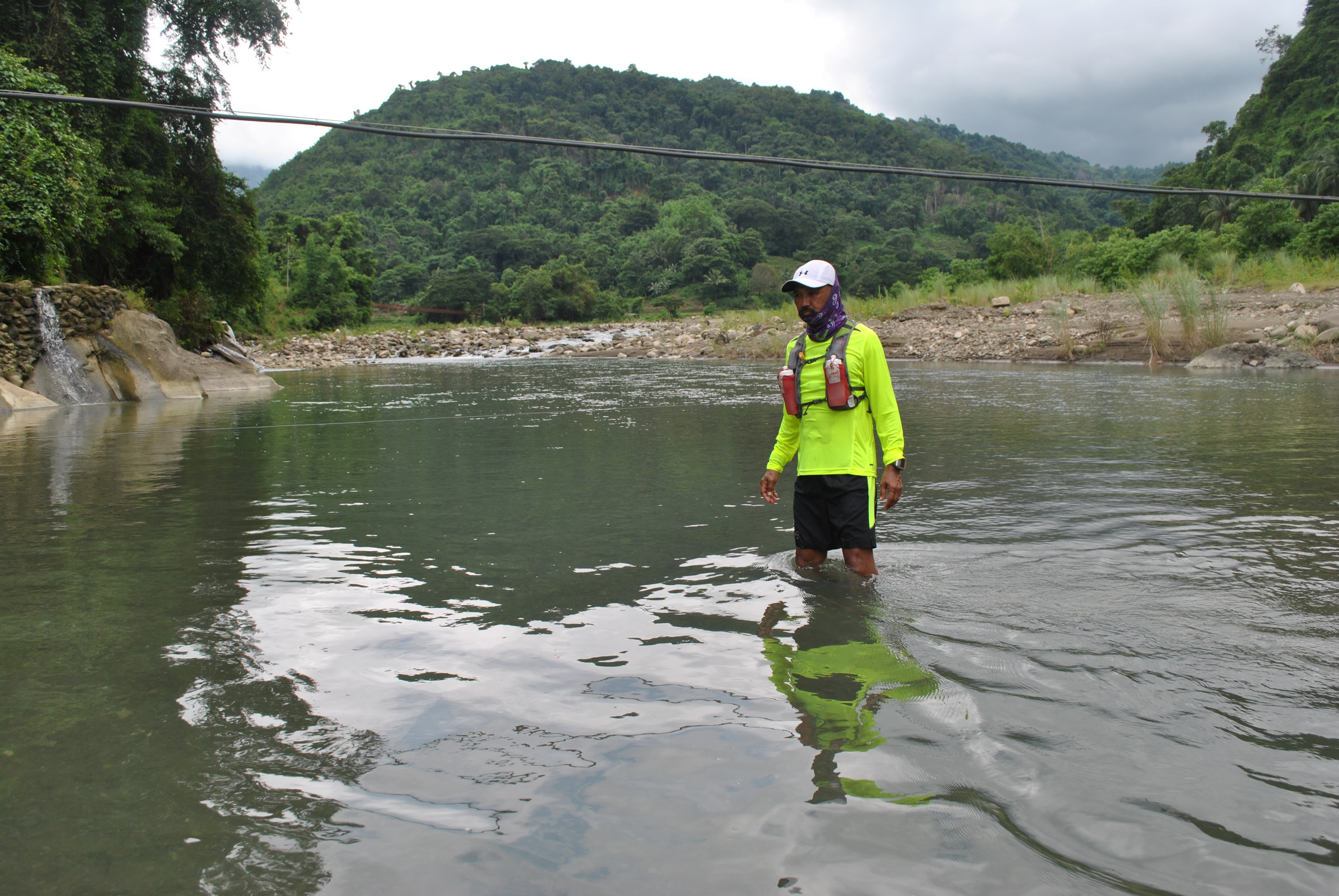
On my second day, I went for a hike from Salcedo to the town of Gregorio Del Pilar, the trailhead of Mt Tirad. I was surprised to see that there is already a paved road on the side of a mountain that connects the two municipalities. However, the road does not completely avoided the crosssing of the Buaya River. I was surprised that I had to cross the river for two times only instead of 15 times!
Salcedo-Gregorio Del Pilar RoadA View of The Buaya River From The Road
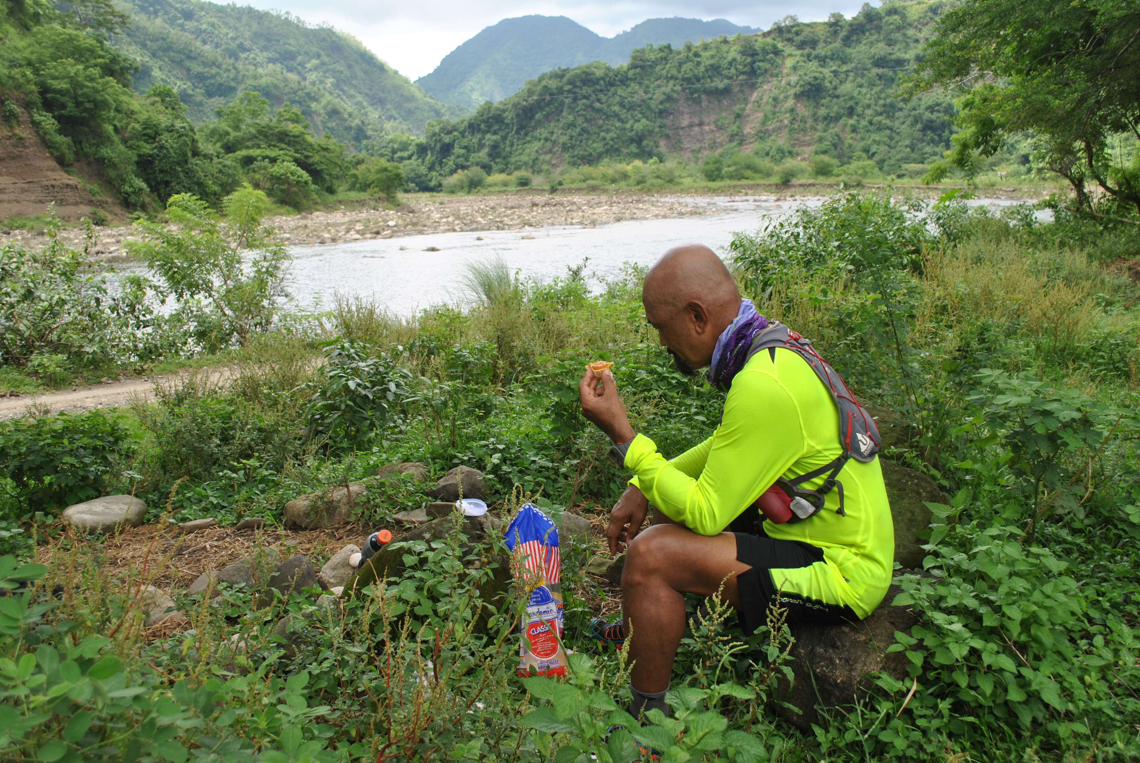
Along the way, I had a chance to talk to the people whose houses were located beside the route and where little convenience stores are located. I will post a separate story on these encounters and conversations with the local people.
From the intersection of Gregorio del Pilar and Sigay towns and after crossing the river for two times, a paved road which is 6 kilometers in distance would lead me to the Poblacion of Gregorio Del Pilar. The paved road is covered with trees and thick vegetation as I could see the peak of Mt Tirad getting closer. I have observed that the trail that I’ve been using during my hikes to the town 19 years ago was still being used by the farmers who would walk from one barangay to another and before reaching the Poblacion of Gregorio del Pilar.
Forest Along The Route
Clean Water On Creeks Along The Route
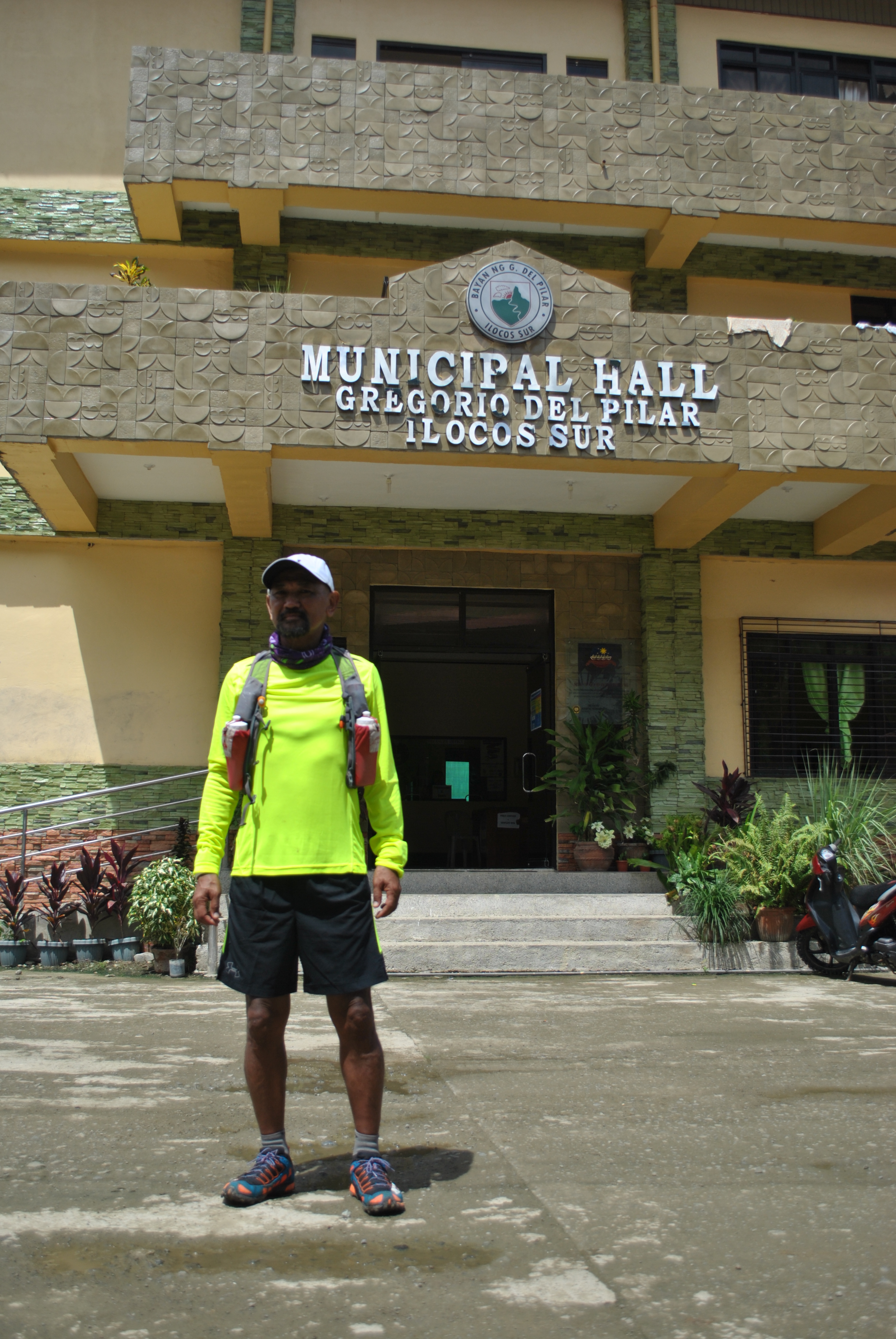
In less than two hours of hiking and jogging from the Intersection of Sigay and Gregorio del Pilar, I was able to reach the Poblacion of Gregorio del Pilar. The place seems to be congested with buildings and houses. There is a newly-constructed Municipal Hall, a separate Rural Health Office/Clinic One-Storey Building, and the Municipal Plaza is now covered with roof which could be transformed into a basketball court and Assembly Area. The old Municipall Hall is still there and being used as additional offices.
Intersection Road For Gregorio Del Pilar and SigayRoad Intersection For Sigay & Gregorio Del Pilar
The Municipal Mayor is a lady but unfortunately, she was not in the area but her staff in her office were very kind, courteous, and accommodating. I was able to make a very quick rapport with her secretary and the administrator of the Municipal’s Facebook account. The young and energetic Municipal Tourism Officer, Macario Burgos, was able to brief me about the tourism developments in the town. All the needed information about Mt Tirad and the Municipality were provided by Mr Burgos. He even gave me additional information about the General Aguinaldo Trail.
In Front Of The New Municipal Hall of Gregorio Del Pilar, Ilocos SurMacario Burgos, Municipal Tourism Officer Of Gregorio Del Pilar
There is only one eatery/restaurant in the Poblacion and Mr Burgos was kind enough to accompany me and joined me for lunch. At the eatery, I was able to talk to more locals who would drop by to have their lunch. The Municipality had progressed due to tourism and agriculture since the mid-90s.
After lunch, I decided not to proceed to the peak of Mt Tirad having known the place and distance from the Poblacion when I was assigned in the area. I’ve found out that the Municipal Tourism has a registration area at the Trailhead at Barangay Mabatano and every hiker has to pay an Environmental Protection Fee of P 20.00. In my future thru-hike along the General Aguinaldo Trail, I will have to be back to this place and renew my experience in reaching the peak of Mt Tirad.
Getting back to my “Base of Operations” in Salcedo was uneventful and my staff and I had an easy jog and hike for the distance of 12 kilometers. We had more time to appreciate the beauty of the scenery and take more pictures on the things that we saw along the way.
The following picture gallery will explain more about my hike from Salcedo to Gregorio Del Pilar and back.
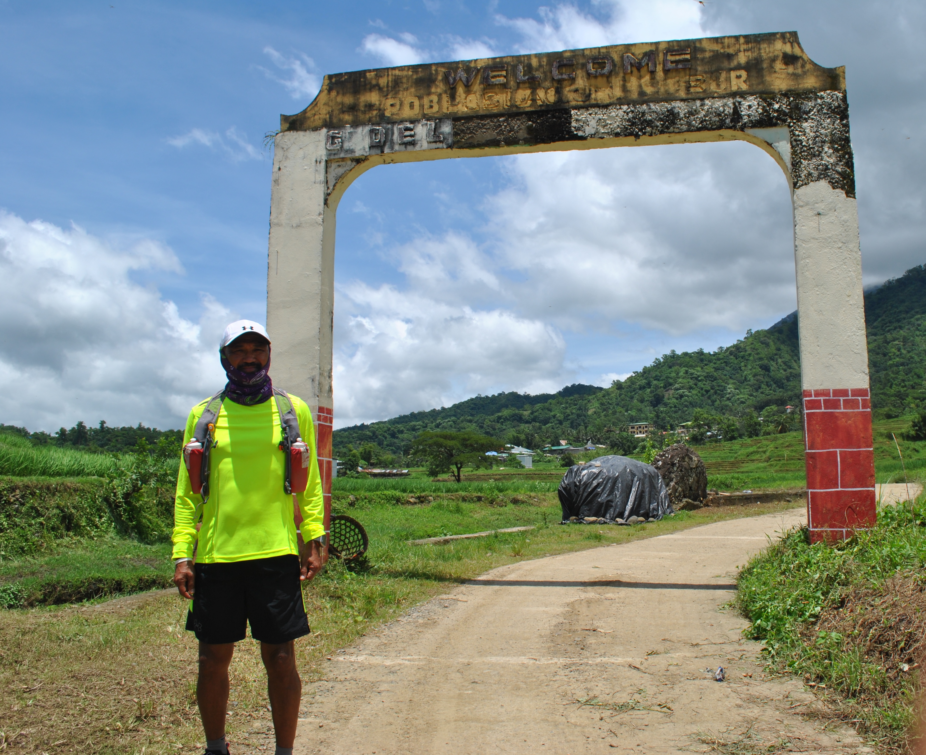
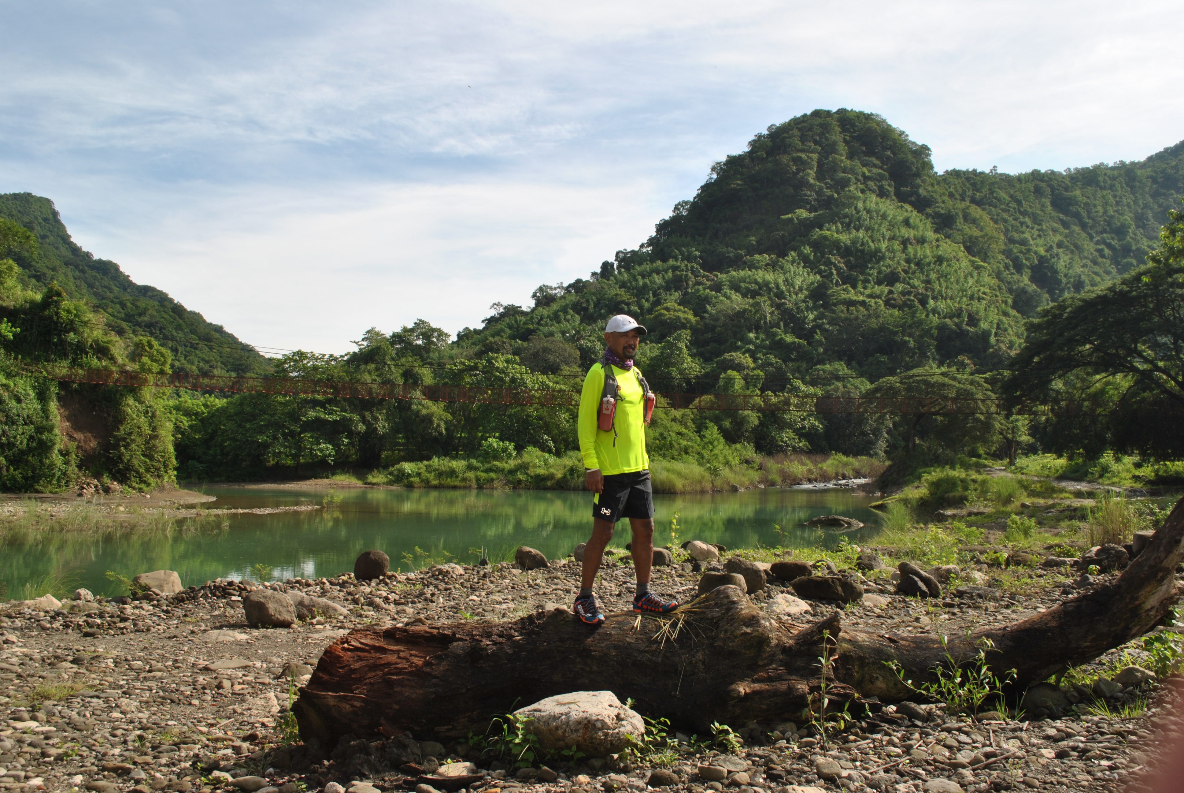
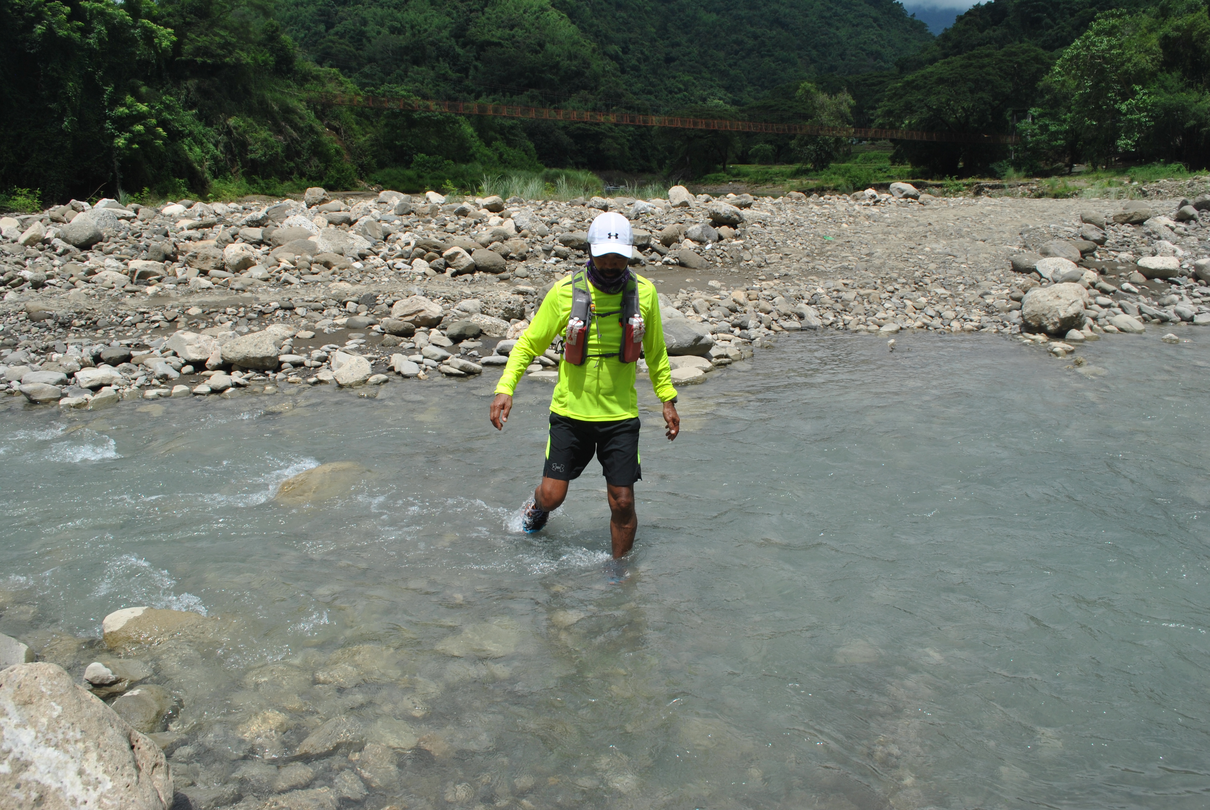
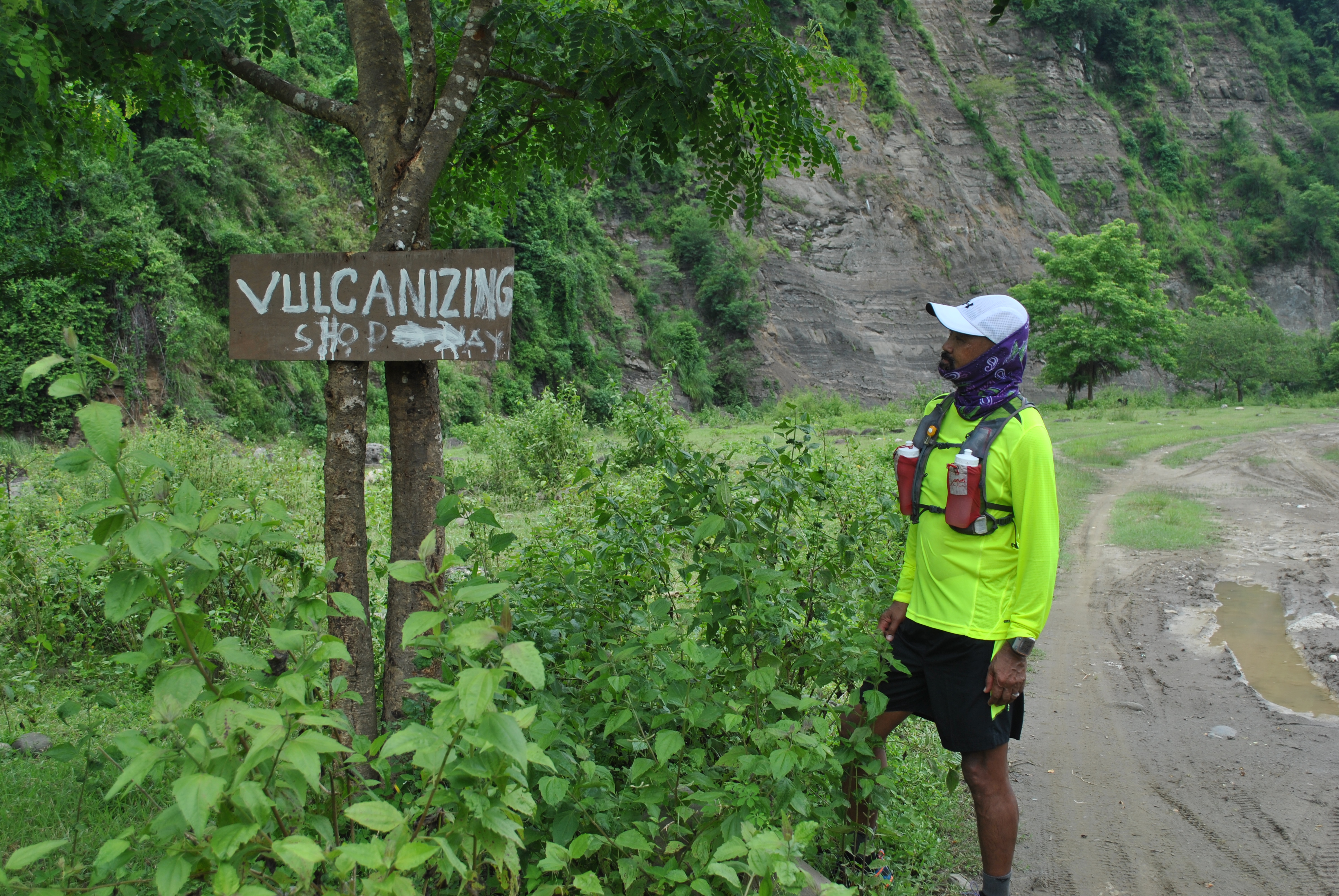
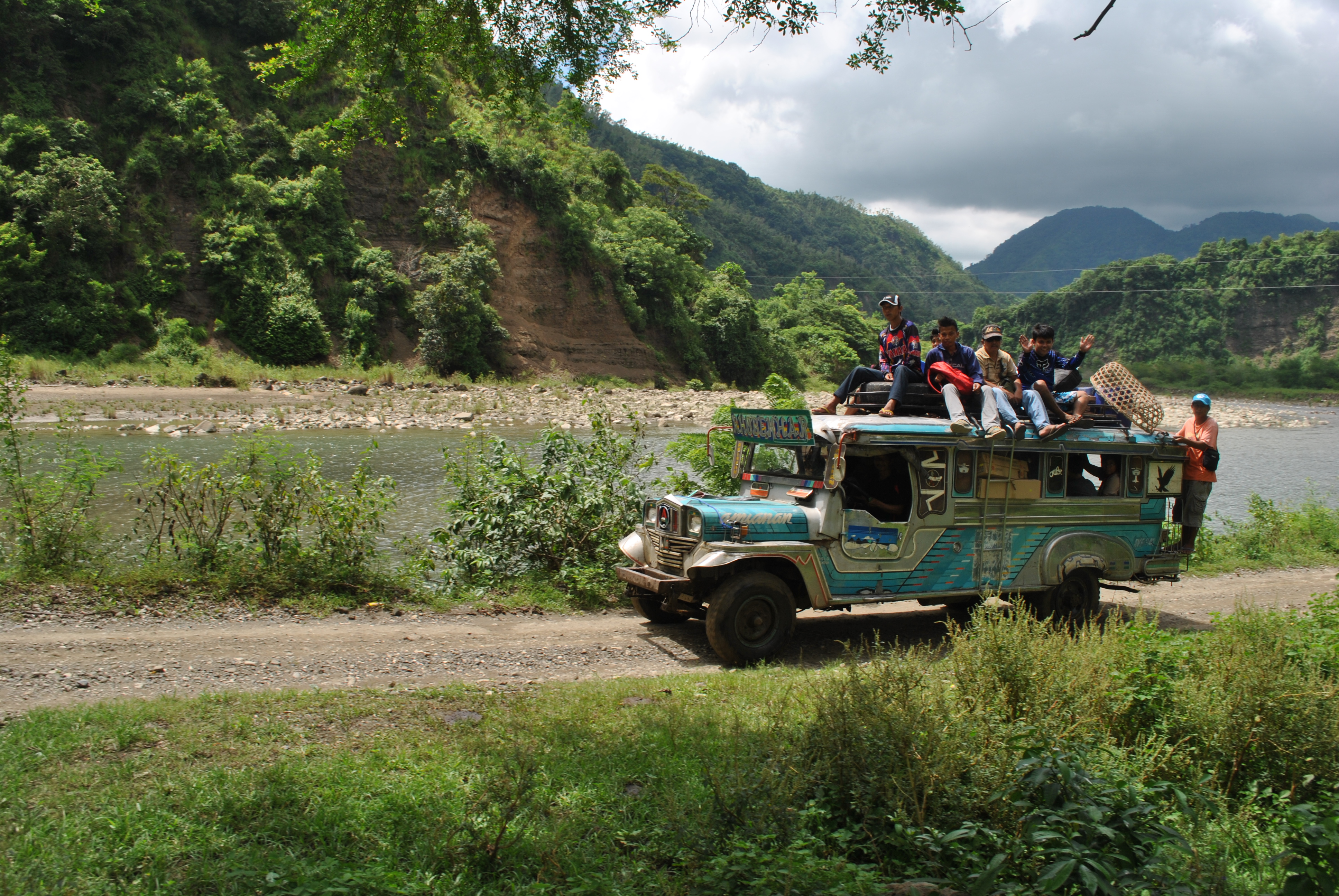
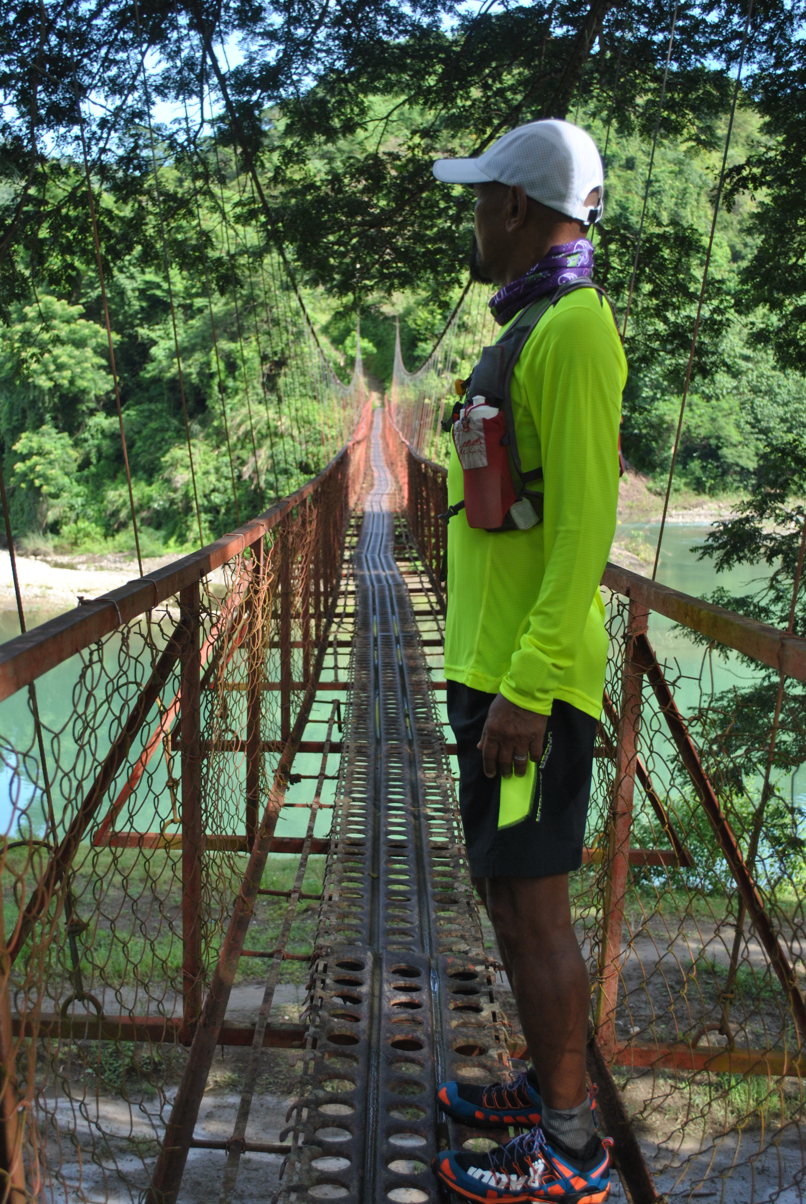
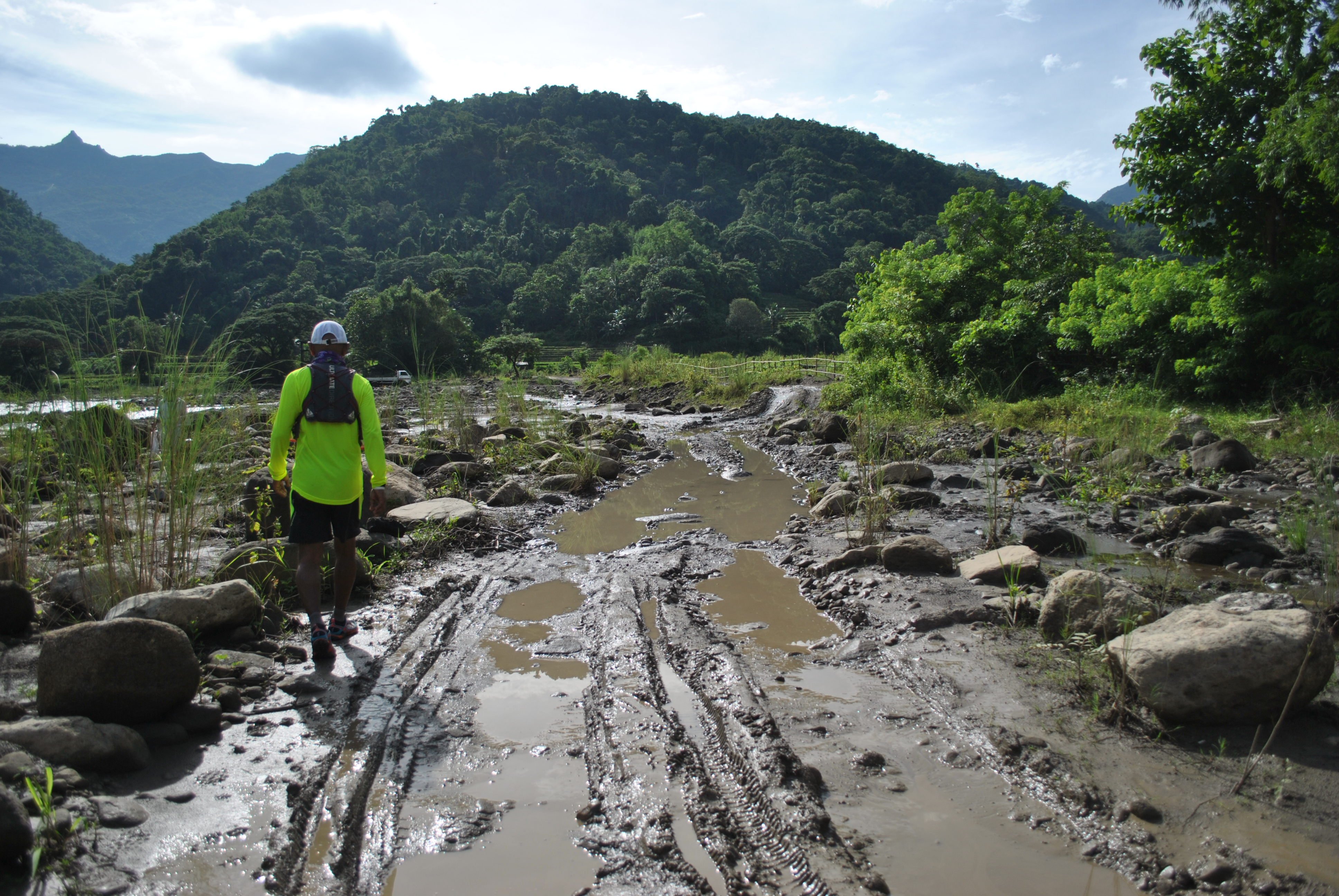
WELCOME Arch @ Gregorio Del Pilar’s PoblacionRiver Intersection, Lagoon, Hanging Bridge, Beautiful Mountain & Hills, & Green SceneryRiver Crossing #1River Crossing For Motorcycles @ P20 EachRiver Crossing #2Vulcanizing Shop On The Trail?The Reason Why There Is A Vulcanizing Shop!One Of The Hanging Bridges Along Salcedo-Gregorio Del Pilar RoadAfternoon Snacks Before Reaching Back To My Base Of OperationsMuddy Trail During The Rainy Season
My Thoughts & Plans On The General Aguinaldo Trail
As I am trying to re-trace the route that General Emilio Aguinaldo and his entourage took in his journey to avoid being captured by the American Forces during the Filipino-American War/Insurrection War in 1898-1902, from Candon, Ilocos Sur to Palanan, Isabela, the following thoughts played into my mind.
More or less, these thoughts will be implemented in the events that I would conduct and share to interested persons or groups who would like also to experience what our forefathers have trekked in this historic route.
1. The General Aguinaldo Trail is a HIKING destination. Going through what General Aguinaldo and his entourage had taken almost 115 years ago in five months and 18 days with a perceived armed enemy on their tail is beyond comparison to what the present day hiker would do along this route. There NO need for a hiker to be fast and come up with a new hiking record to travel on foot along the said route. However, anybody can do this kind of risk on their own.
2. A hiker can be on self-support, carry his/her own tent, sleeping bag, and his food provision. A hiker can take advantage of the Barangay Halls or Village Centers along the route or residences of the locals in the area as their resting places. There are also convenience stores and eateries along the route as most of the parts of the road are being used for commerce and visitors.
3. The route is no longer pure trail or dirt road. Some parts of the original Aguinaldo Trail are now paved where transport system is well established. Commercial transport as well as private vehicles can now travel along this route. However, the challenge on the elevation gain and loss is still there.
4. Honor System is encouraged to all the hikers from the start up to the finish.
5. Patterned after the famous trails like, Pacific Crest Trail (PCT), Continental Divide Trail, Appalachian Trail and other famous trail systems in the world, an Association will manage the entry and processing of each hiker that will pass through the route. Actually, I have created “The General Aguinaldo Trail Association, Inc.” and have it registered to the Securities and Exchange Commission as the sole association that will process interested hikers to this route.
6. Registration to Hike on this trail will be for “Thru-Hikers” Only. “Thru-Hikers” are those hikers who will stay along the route from start up to the finish or until they reach the final destination. If a hiker decides to take a break or rest in Baguio City or Manila or in his/her place of residence and then proceed back to where he/she stopped to continue the hike, this is NOT considered as “thru-hiking”. A hiker is considered DNF once he/she leaves the trail beyond the radius of 10 kilometers. It should be NOTED that there is only ONE Direction in “thru-hiking” this route—from Candon, Ilocos Sur to Palanan, Isabela. If a hiker decides to hike a section of the route, then there is NO need to register.
7. Registration to hike along the General Aguinaldo Trail will be On Line through my blogsite at http://www.baldrunner.com and/or through the General Aguialdo Trail Group Page on Facebook. This system/ arrangement is temporary while a dedicated Website for the General Aguinaldo Trail Association, Inc. is being constructed.
8. A corresponding registration/processing fee will be paid by each hiker (officially registered) which will cover the following:
a) Passport and Map/Directions of Route
b) Commemorative Shirt (Short-Sleeved)
c) Finisher’s Medal
d) Finisher’s Certificate
e) Finisher’s Shirt (Long-Sleeved, Dri-Fit)
f) Donation for the Establishment of Permanent Markers along the route.
i) Postage/Shipping Charges (For the Finisher’s Medal, Finisher’s Shirt and Finisher’s Certificate)
9. The details of my thoughts and plans will be duly coordinated with the Department of National Defense, Armed Forces of the Philippines, Philippine National Police, Department of Interior and Local Government, Department of Tourism, Department of Transportation and Communication, and the LGUs (Provincial, City and Municipal Levels)
10. Passport must be duly marked and stamped by the Municipal Tourism Officer or Philippine National Police in the Municipality with Signature of the Person On Duty with the appropriate Time & Date of Check-In in the stated office/s.
11. The following trail/route marker will be seen along the way to guide the hikers:
Route Marker
12. There is a possibility that some portions of the route will be used for ultra running events in the future. Details of these events will be announced through this blog or on Facebook.
13. Hopefully, the General Aguinaldo Historic Trail will be open for “official registered hikers” by January 1, 2015. This will make the “General Aguinaldo Historic Trail” as the FIRST Thru-Hiking Destination In The Country!
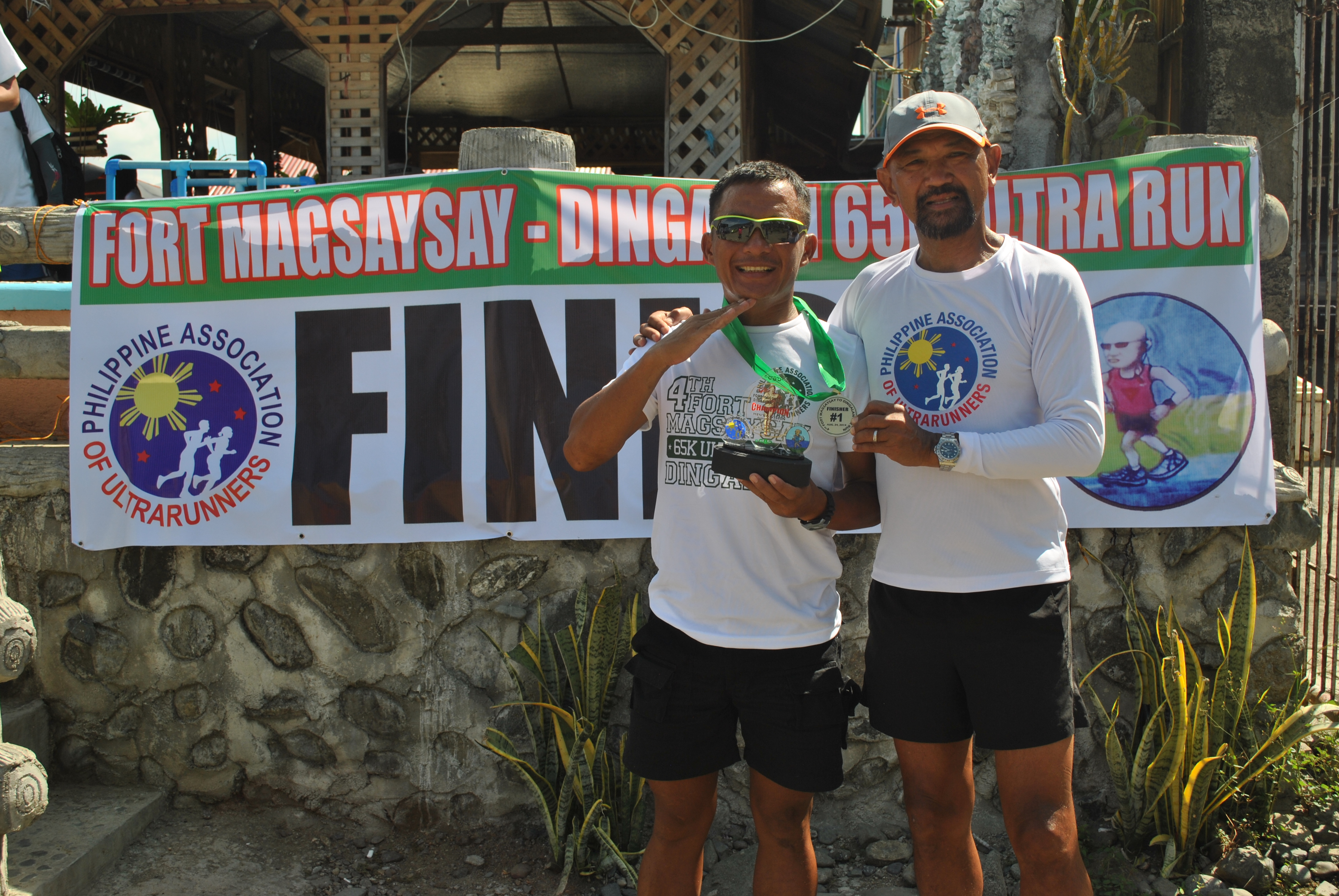
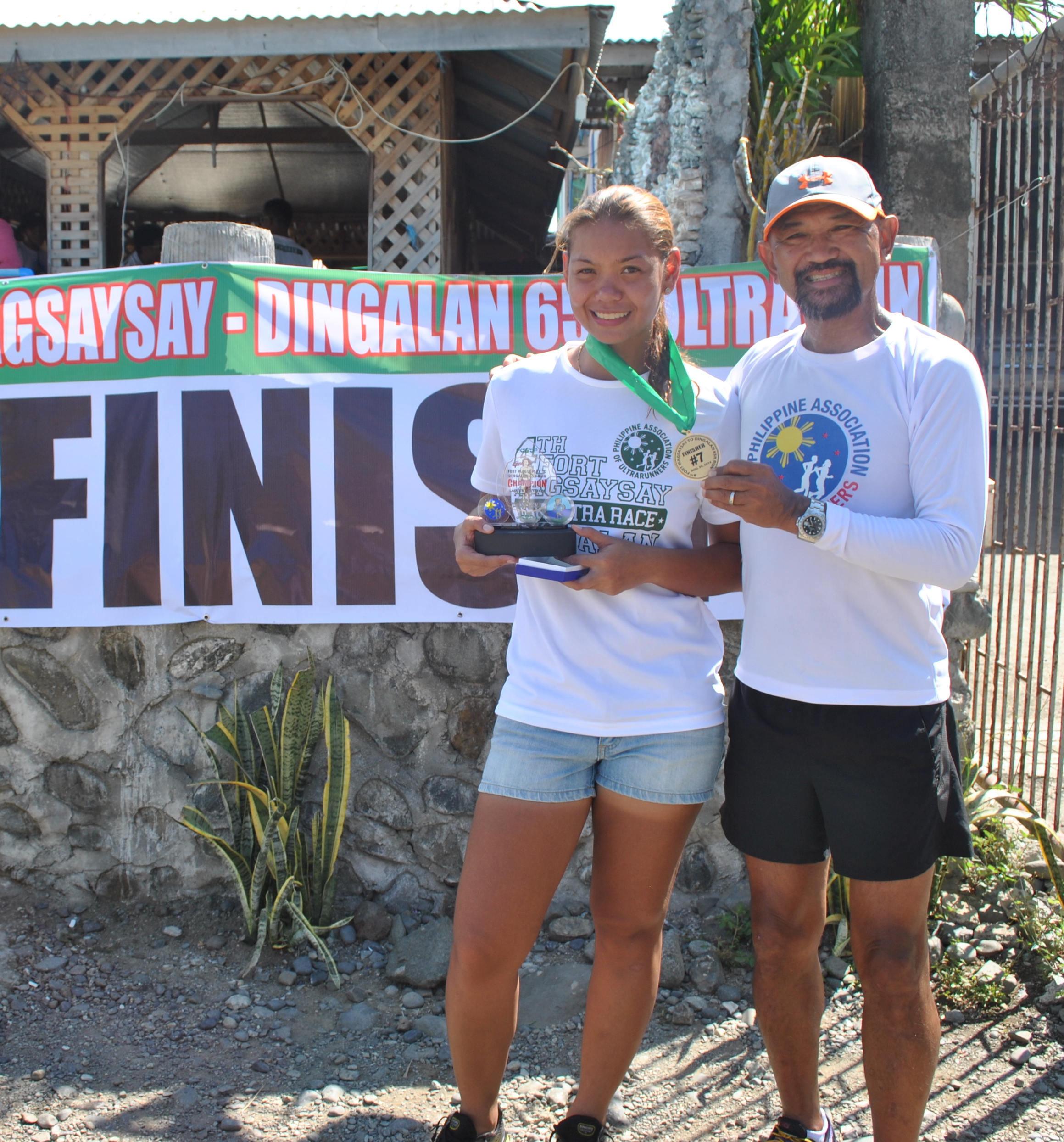
1. Due to military-related activities in Fort Magsaysay scheduled for the weekend, all the Transient Facilities inside the Camp, to include the Special Forces Regiment and SOCOM Transient Facilities are FULL. However, runners who would like to spend Saturday night within the vicinity of Fort Magsaysay, they can avail of the hotels and commercial transient facilities in Santa Rosa-Cabanatuan City area. Most of these hotels are located along the Maharlika Highway. For those who choose to arrive early in the camp and rest inside their respective Support Vehicle, they can park their vehicle at the back of the 7th Infantry Division Headquarters and . Parking of Vehicles in front of the Headquarters Building is strictly prohibited. All the other roads surrounding the Headquarters Area is available for Parking.
Intersection Philippine Coast Guard/Pier And Umiray Road
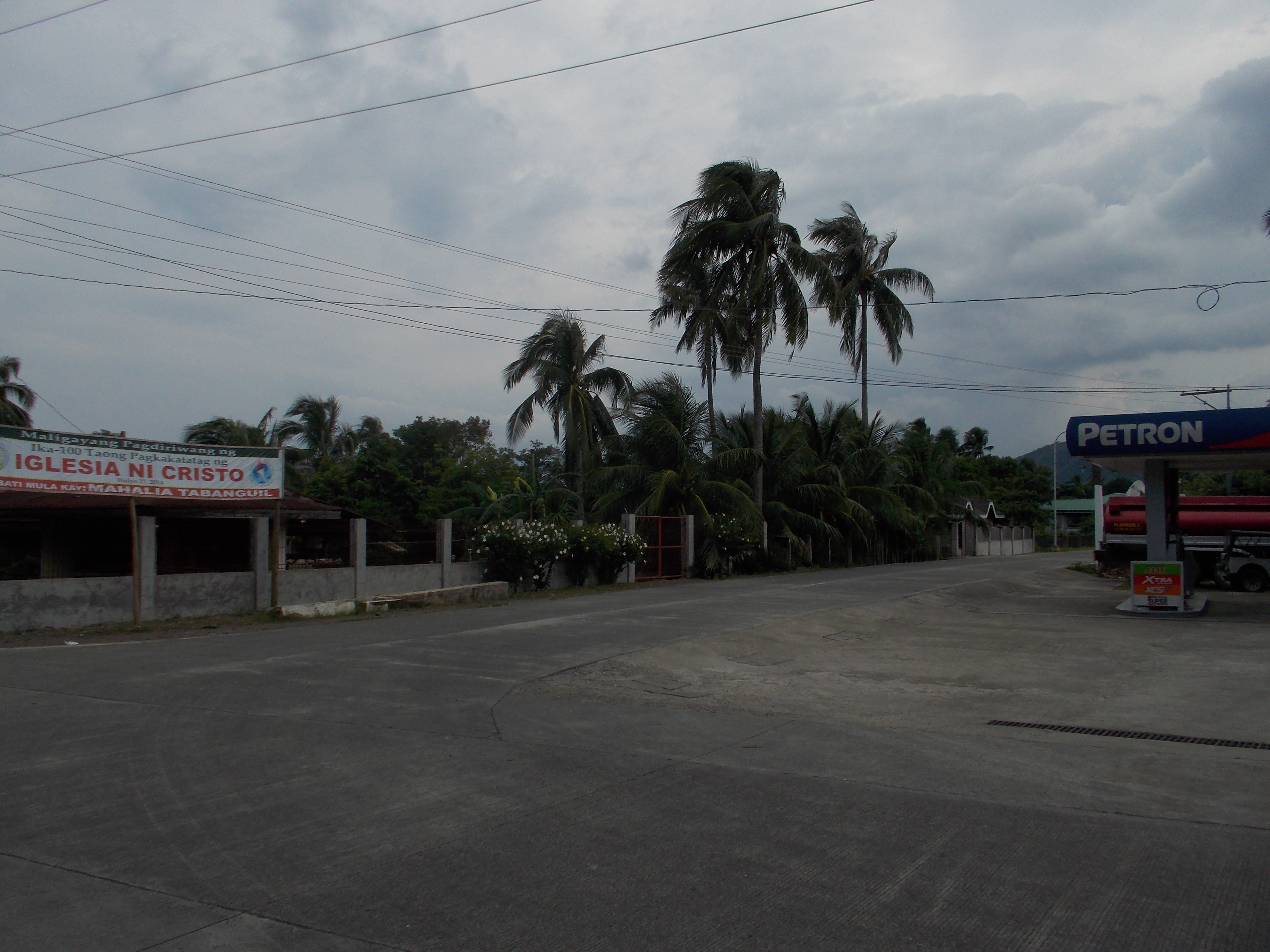
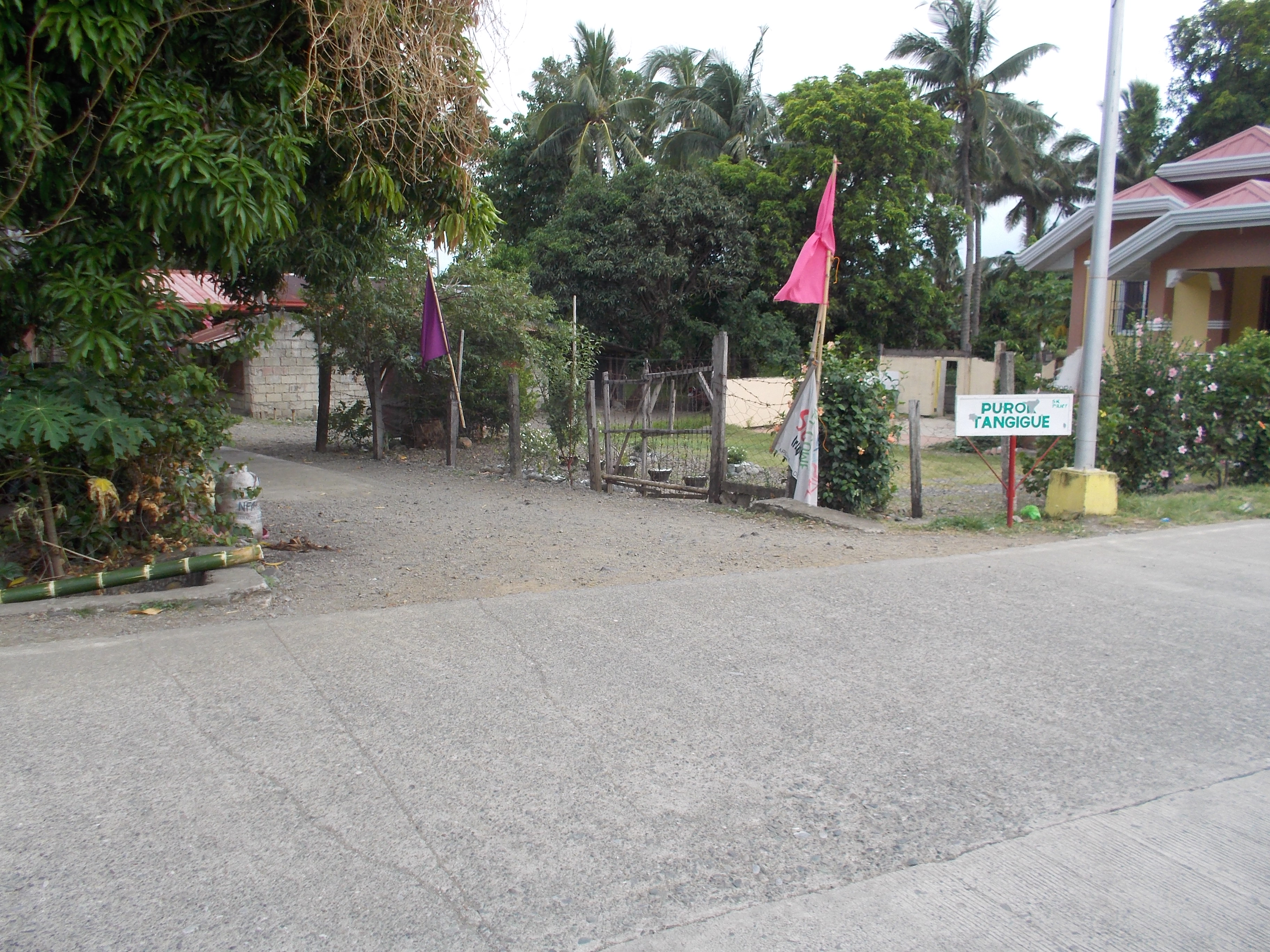
2. The race will end on the shore of the Pacific Ocean at Purok Tanguige, Barangay Aplaya, Dingalan, Aurora. From the usual finish line at GINA’s Resort, follow the highway that is descending towards the Poblacion of Dingalan, Aurora. Runners would be able to pass the short section of commercial establishments and follow the road that leads to the Philippine Coast Guard/Dingalan Pier. Runners have to TURN RIGHT once they reach an intersection with a PETRON Gasoline Station on the right and a tarpaulin with an Iglesia Ni Cristo 100th Anniversary hanging across the said Gas Station. The road leads to Barangay Umiray.
Turn Left On This Alley With The Sign “Purok Tanguige”
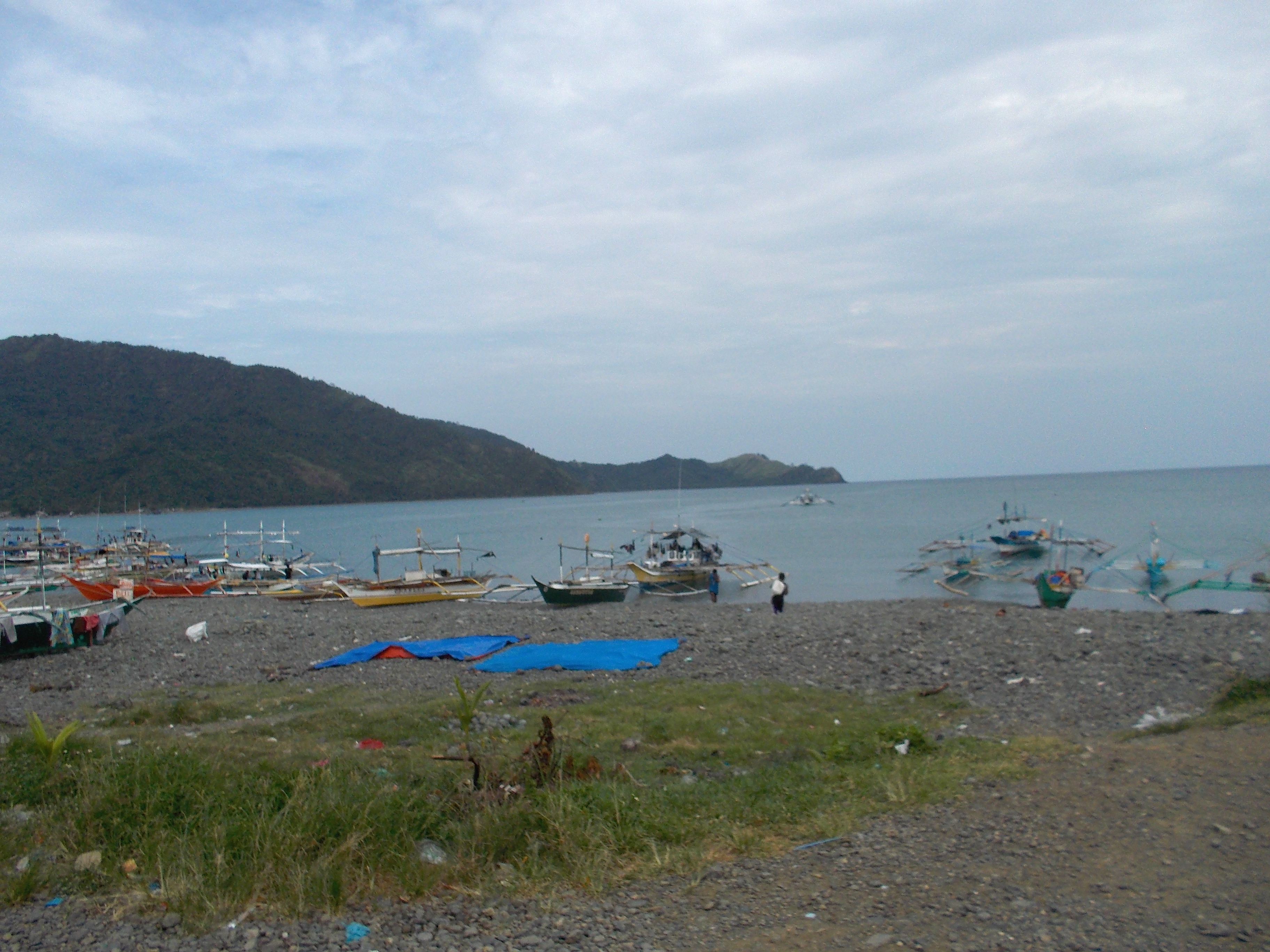
3. From the road leading to Umiray, turn left on an alley which is a paved path, about 400 meters away from the PETRON Gas Station, good for one vehicle which is marked with PUROK TANGUIGE. Runner would see the seashore and the Finish Line will be few meters before the beach. On your right will be the Seaside Restaurant where lunch will be served and for the runners can have their shower.
Pacific Ocean’s Open Water Swimming Pool
4. Warning for those Runners with Support Vehicle. There is a limited parking space along the shore and vicinity of the Seaside Restaurant. Runners should advise their support driver/crew to park along the road leading to Umiray. The road is safe with few vehicles passing in the area and with the Barangay Hall within the vicinity.
5. The 65-Kilometer distance will be short by about 500 meters. As I don’t want each of the runner to make an additional distance along the Umiray Road and somewhere have a U-turn back to Purok Tanguige, this arrangement might result to some confusion, most specially when the runner is thinking of a cold beer waiting for him once he crosses the Finish Line. Just reserve that lacking 500 meters for your open water swim on the shore of the Pacific Ocean once you cross the Finish Line!
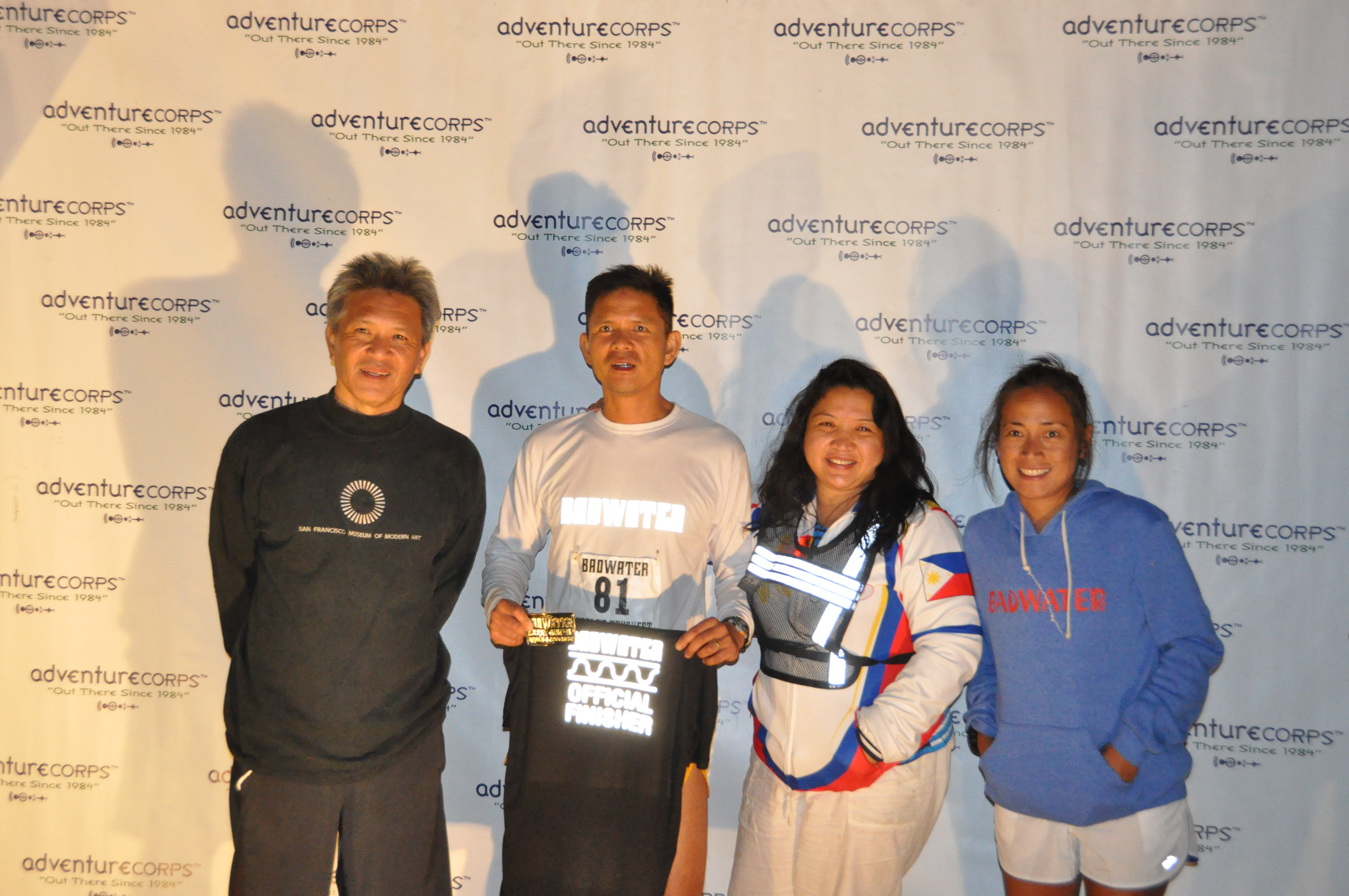
Benjamin Gaetos opened the floodgates for Pinoy Ultra Runners to shine in the prestigious Badwater 135 Ultra Marathon Race which is considered as the “toughest ultra running race in the world” today. As history would place in its proper perspective and understanding, Benjamin Gaetos is already considered as the FIRST and LAST Pinoy Ultra Runner who finished the ORIGINAL Badwater 135 Ultra which starts in Badwater, California (hence, the name Badwater in the title of the race), 280 feet below sea level up to Mt Whitney’s Portal at an elevation of 8,360 feet above sea level in 44:08:07 hours where the cut-off time is 48 hours.
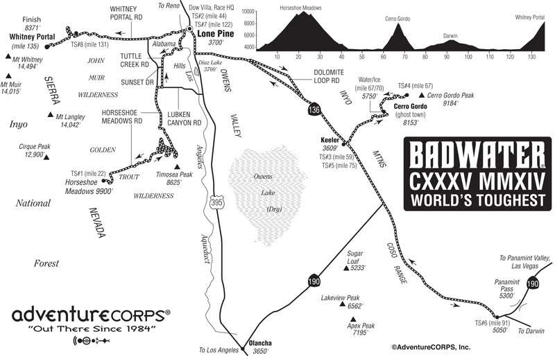
With the latest restrictions and policy from the newly designated Superintendent of the Death Valley Park, the conduct of endurance sports activity is being prohibited and held in abeyance before a thorough study is being published to review on the safety of participants in such events being held in the said area. However, such restriction did not prevent the Race Organizer to conduct the annual event for the ultra runners but instead of starting and passing through the extreme hot environment of the Death Valley Park, the event was held at the adjacent Owens Valley which is equally challenging as the original route with the prevailing summer heat and more gain in elevation. The New Badwater 135 course covers three mountain pass ascents for a total of over 17,000 feet (5,800 meters) of cumulative vertical ascent and 12, 700 feet (4,450 meters) of cumulative descent.
In this year’s New Badwater 135 route, two Filipinos, Gerald Tabios and Tomas Zaide have been qualified and invited by the Race Organizers to join the event. But for me to be more focused on my story, this article will be devoted as a tribute to Gerald Tabios as the FIRST Pinoy Ultra Runner to have finished the New Badwater 135 Ultra Marathon Race.
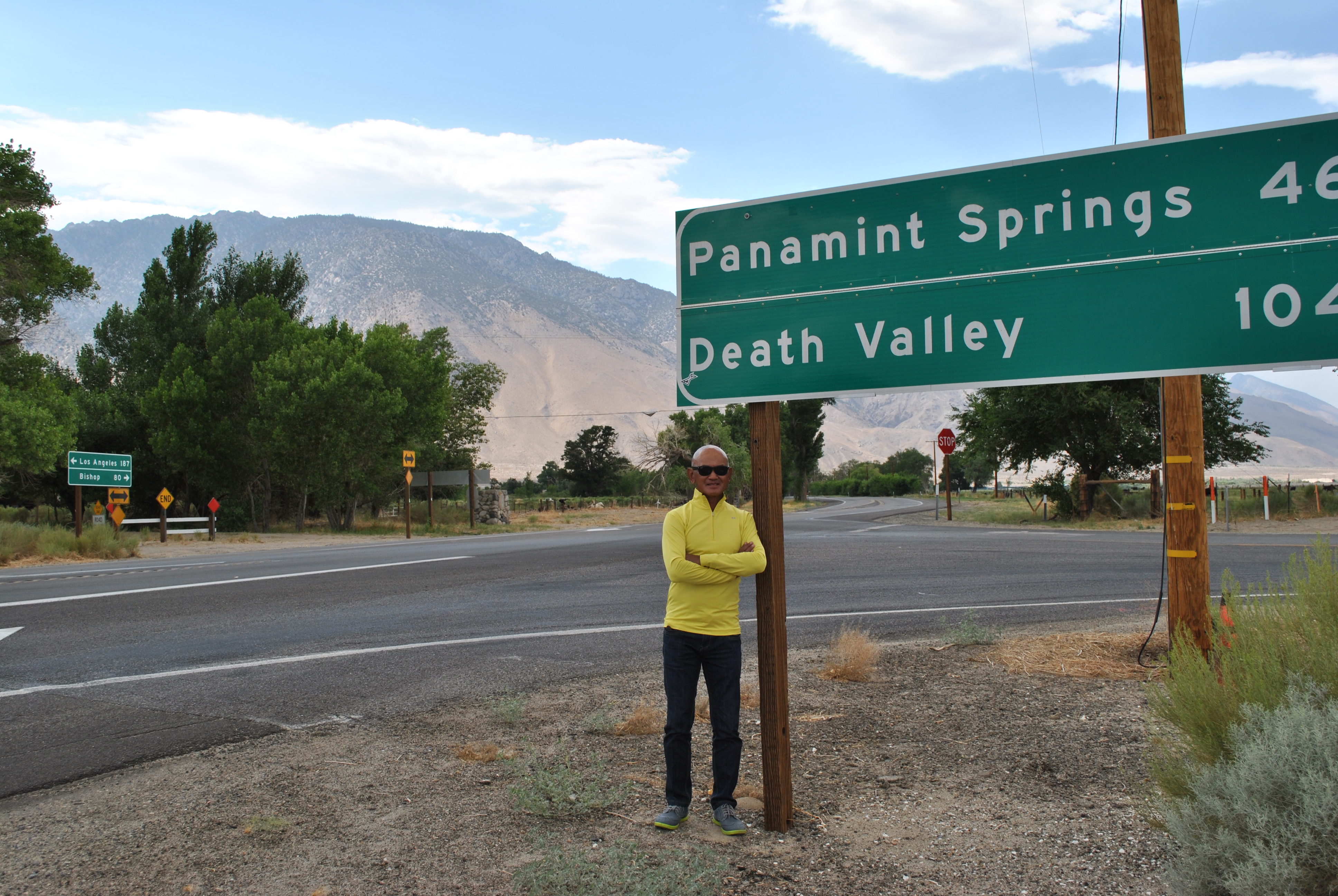
Route Of The New Badwater 135 Ultra MarathonThe First Peak For The Runners: Horseshoe Meadows At 9,900 Feet Above Sea Level (Photo Courtesy Of Michelle Barton)Road Intersection To “Heaven & Hell” (Going To Cerro Gordo, Panamint Springs & Back To Lone Pine And To The Finish Line @ Mt Whitney Portal)
I became aware of Gerald Tabios’ participation in the New Badwater 135 from a news story published in the On Line Edition of the Philippine Daily Inquirer. Surprised that he has no account on Facebook, Twitter or Instagram, I immediately browse his name at UltraSignUp and I was amazed with his ultra race portfolio/resume of his ultra finishes. He had finished a lot of 100-miler races in the Eastern part of the US, particularly in New York City and its suburbs and he placed as a Champion in one of the 100K races in the area and a number of them where he finished in the top 3 podium finishes. Notable of these ultra running accomplishments were the following:
Champion in the 2014 Jack Bristol Lake Waramaug 100K Ultra Race held in New Preston, Connecticut with a time of 9:46:03 hours
2nd Overall Champion in the 2013 Three Days At The Fair Running Event (48 Hours Timed Event) in Augusta, Georgia where he was able to run a distance of 143 miles.
Consistent and 3-Time Finisher of The Great New York City Running Exposition 100-Mile Race with a best time of 21:22:34 hours.
Since his family migrated in New York, USA in 2001, he had his taste of his first Marathon Race finish at the New York City Marathon and since then, he had been a “streaker” of this most popular and the World’s Biggest Marathon Race for the past nine (9) years! Even if he considers himself as a slow marathon runner, he prides himself with an impressive Marathon Finish time of 3:31:32 hours at the Central Park Marathon in New York City. Aside from his numerous ultra events that are listed in the UltraSignUp Website, he had finished a total of 25 Marathon Races.
I was impressed with his ultra race results as his age as an ultra runner is still at his prime of 44 years old. Gerald is still starting as an ultra runner for the past 2 years but he has made already a great impression to his peers and to myself as a hardcore ultra runner. I have no doubt then that he will finish the New Badwater 135 even if he is not exposed to hotter environment (as compared to the East Coast’s climate) and he had never set his foot in the extreme heat and gusty winds within the desert mountains of California.
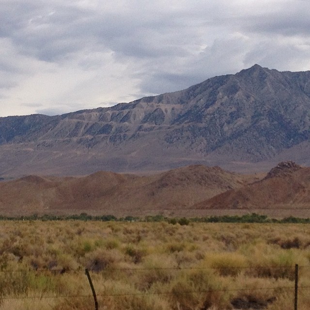
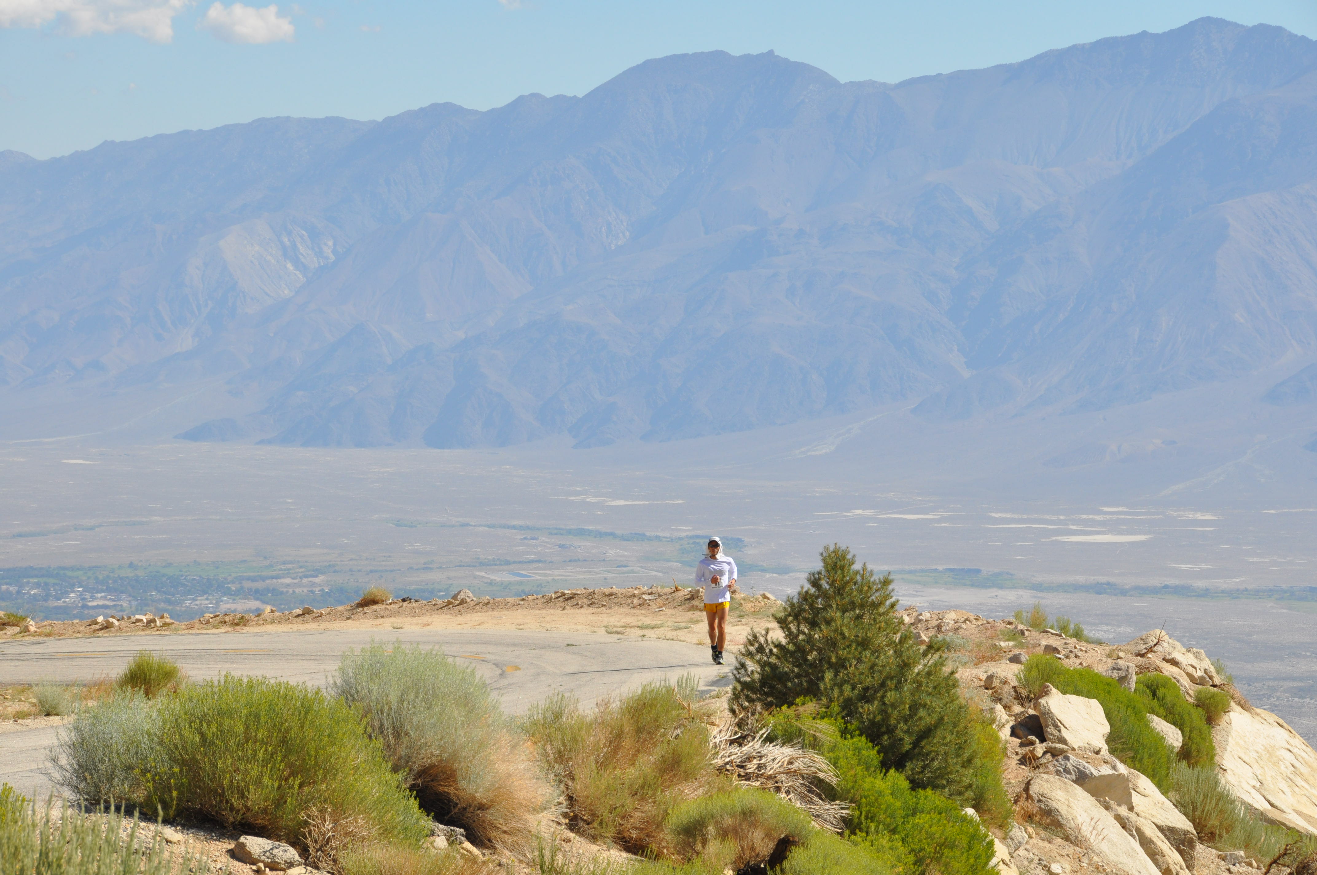
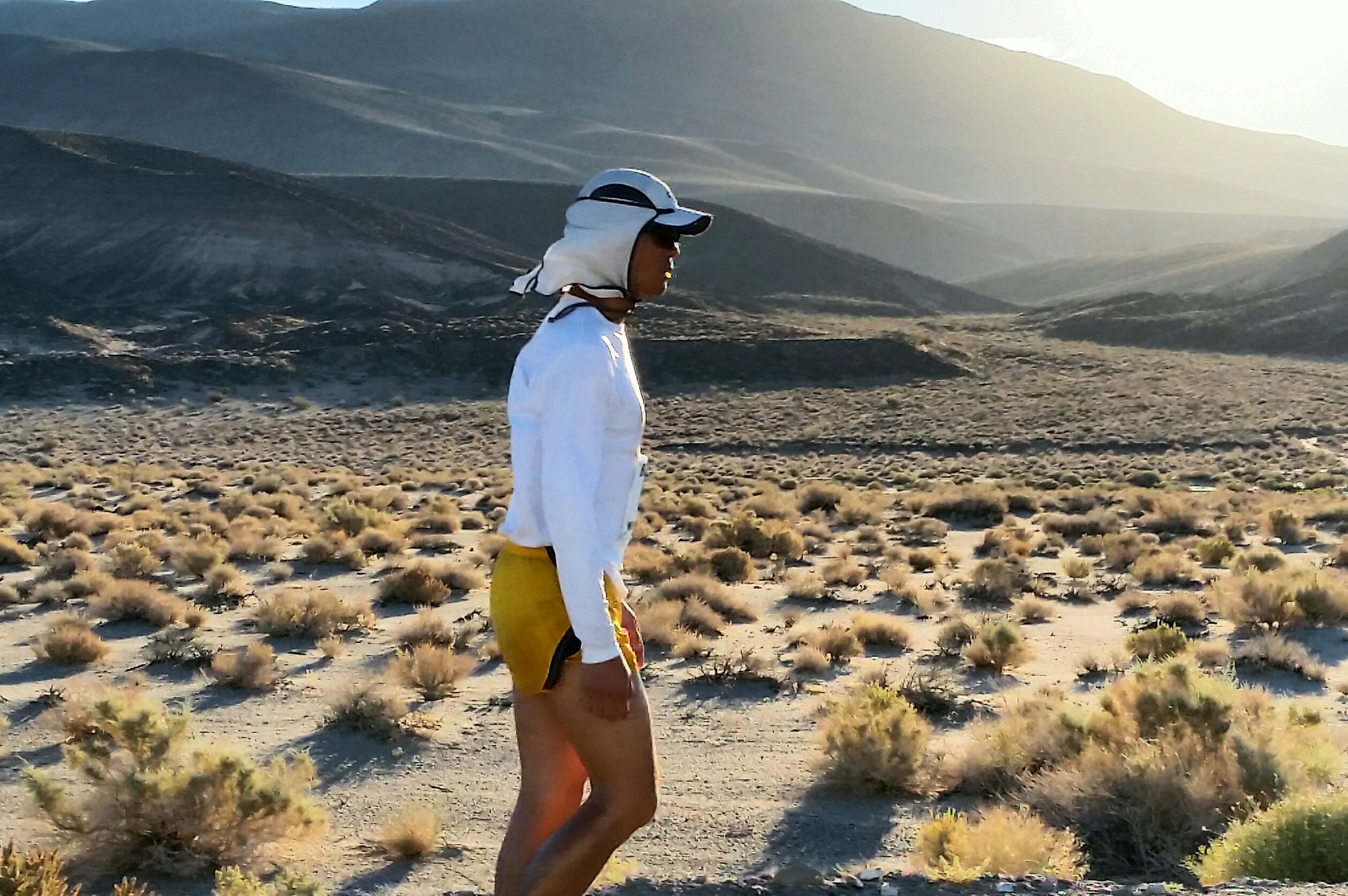
Gerald @ Horseshoe Meadows Road
As an old runner and firm believer of the Arthur Lydiard Way, I believe that there must be something in Gerald’s childhood that greatly contributed in his passion and craving for running events. He was born in Malaybalay City (Bukidnon) on September 12, 1969 but he did not have to walk on mountain trails in order to finish his elementary and high school education as the family house is only a “stone’s throw” to the schools. His interest in running started when he was in high school with his brothers, who happened to be running enthusiasts during the “running boom in the 80’s”, and they would tow him along in public parks and streets in their jogging practices. He could still remember when spending vacation in Manila that his brothers would bring him jogging around a big street block in Quezon City which happens to be where the ABS-CBN Compound is located along the Mother Ignacia Street.
Surprisingly, a local elite runner who hails from Malaybalay, Bukidnon, Ronilo Indapan became his running idol and inspiration. Ronilo Indapan had been a consistent MILO Marathon Finals Qualifier in the 1980’s and he was then the pride of Malaybalay in Long Distance Running as he was sent to Manila with “free trip and accommodation” to and from Manila to join the MILO Marathon Finals. He could be the father of one of my former elite runners who is now a soldier of the Philippine Army, got married to my Secretary/Staff and now living with two children.
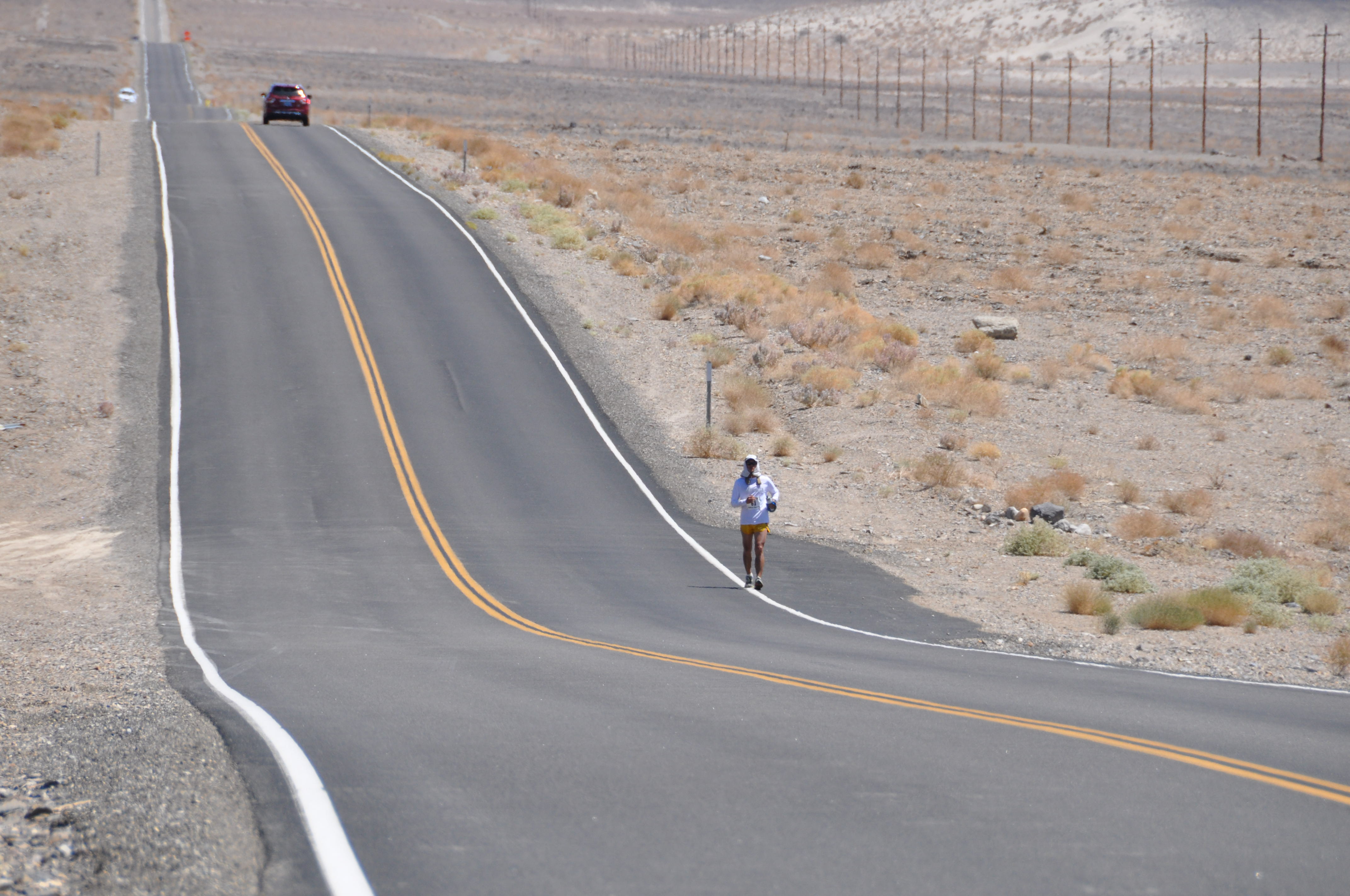
Gerald @ Highway 136 Towards Panamint Springs
With Ronilo Indapan, a local running hero in their place, as his role model and inspiration, and with his brothers’ interest in joining running events, he started to train and join the annual MILO 10K Runs in Cagayan De Oro City from 1994-1997; and progressed to a longer distance event by joining and finishing the The Tri-City International 25K Race in Cebu City in 1995 & 1996. He even mentioned that his brothers would buy him running tops/singlets and shorts made by BOTAK; and ADIDAS Jogging Pants and Sweaters!
Gerald was neither a high school nor a college athlete, he just simply love and have fun in running long distance events. He finished his college education with a Bachelor of Science in Civil Engineering at the Xavier University Ateneo de Cagayan in Cagayan De Oro City.
Twelve years later after he migrated to the USA with lots of Marathon and Ultra Marathon Finishes and most specially when he finished as 2nd Overall Champion in the 2013 Three Days At The Fair 48-Hour Run, he decided to send a letter of request to the Race Organizer of Badwater 135 for him to be included in the List Of Qualified Participants in this year’s edition. And the rest is history.
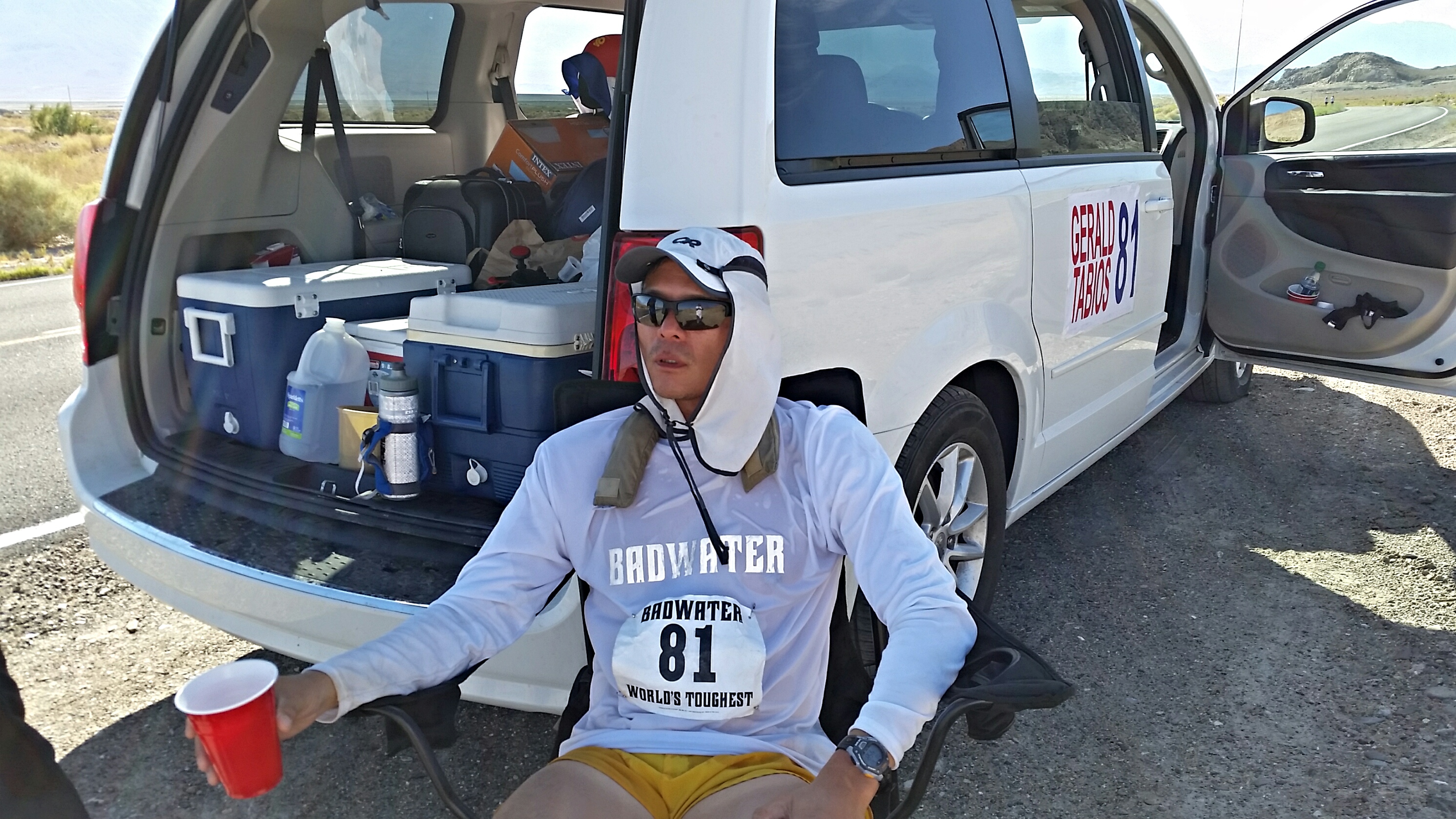
Rest & Recovery For Gerald During The Race
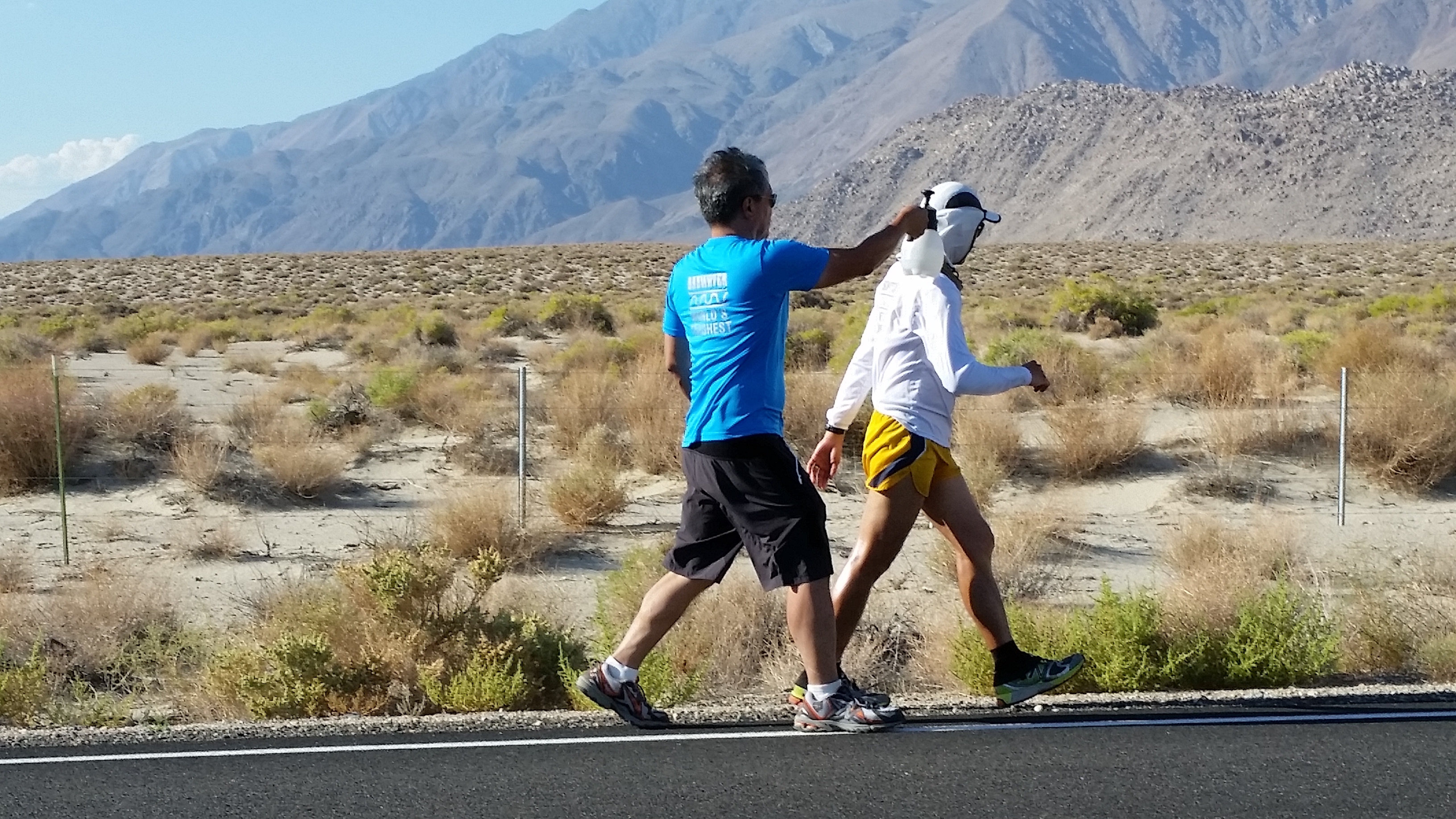
However, his toughness as a 100-Miler and Ultra Podium Finisher is not enough for him to secure an easy race and finish at Badwater 135. With a 48-hour cut-off time to run a distance of 135 miles with extreme heat, gusty winds and additional gain in elevation as compared with the original Badwater route, the presence and time-clock precision of pacing and assistance from his Support Crew is equally half of the effort for an ultra runner to finish this brutal ultra running event. Gerald was ably assisted by the following members of his Support Crew dubbed as the “Team Tabios”—-his wife Donna; Kat Bermudez, a Registered Nurse in New York City; and his brother Glen Tabios, a UP Diliman Professor and Civil Engineering Chairman who flew all the way from Manila. It was unfortunate that friends and relatives of Gerald in New York City came up with a nice Uniform for everybody in the team with the word BADWATER printed on them and they could not wear them during the race as it violates one of the Rules and Regulations of the Race—the word “BADWATER” is a registered trademark of the Race Organizer and nobody is allowed to use it in any form by any of the participants. Violation of any rules or regulations of the event would mean an outright Disqualification from the race.
Brother Glen, Imported From The Philippines, Had Unlimited Water Spray & Cheers To Gerald
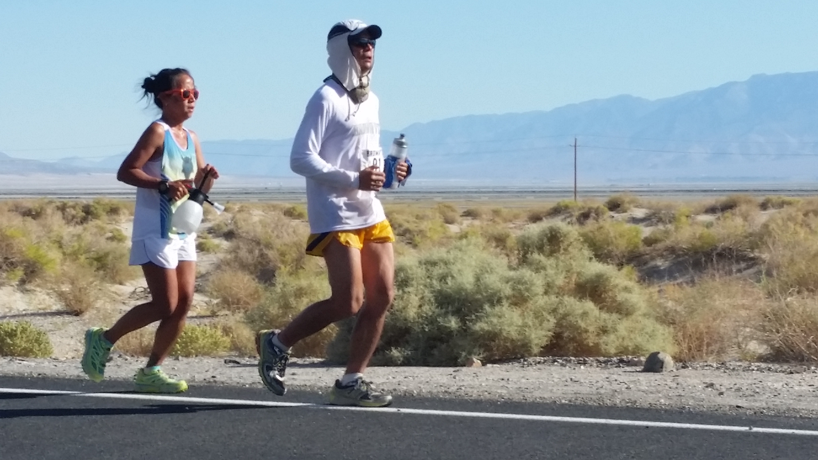
Practically, Gerald and the members of the Team Tabios are “first-timers” in the desert environment of California. Based from the FB Status of Kat Bermudez who happens to be the an ultra runner and wife of a PMA Graduate and former comrade-officer in the Philippine Army, the Team landed in San Francisco coming from New York City. Kat was always complaining about the lack of Parking Spaces in the Windy and By The Sea City of San Francisco! It was too late to suggest to her that the team should have landed in Los Angeles! However, during the event, I never heard Kat from complaining about where to park the Team’s Support Vehicle along the desert of California! It was Kat’s regular FB Status Feeds that gave much information and pictures of Gerald’s “real-time” situation during the race as she later became the Official Pacer of Gerald; Donna, due to her observation on how the elite runners are being supported in Gerald’s past ultra races, she became the overall “conductor of a symphony orchestra” for all the Support Team members to be “playing the same tune” so to speak, and bring Gerald to the finish line strong, safe, and without any injury. Glen, Donna, and Kat did a splendid job as their Principal Runner, Gerald did not have any bouts of cramping, GI issues of “throwing up” of ingested food; dizziness and hallucinations; chafing; blisters; or dehydration. Gerald followed his pace, ate and drank his nutrition and did not mind the pace of the other runners. With patience and determination, Gerald finished the 2014 Badwater 135-Mile Ultra Marathon Race in 44:40:40 hours ranking as #69 out of 97 starters.
Ultra Runner Kat Bermudez As The Pacer Of Gerald
I was expecting Gerald to relate to me a little “drama” if he ever encountered some nasty feelings or pain in any parts of his body or doubts in his mind about the challenges he has to face or had any complaints about the hot weather, gusty winds in the desert and those additional gains in elevation of the new route. He said that he did not have any “drama” or “issues” with his body and the environment during the race. It speaks well of his good training/preparation and firm resolve to finish the race. If you closely observe his running attire and shoes, he did not change them except when he removed his gaiters and changed his wet socks. Would you believe that he used a New Balance 860 V3 shoes which he bought On Sale at Marshall’s for the price of $49.00 and with cotton socks from GAP? I wonder if Gerald has a bloodline to my own tribe which is the Ilocano!
Knowing that he had already recovered from this brutal course, I asked him about his training in preparation for this event. He humbly said that for the past year leading to the event, he was logging 40-50 miles a week where most of his weekday runs were his daily 6-mile runs from his home/apartment in Queens to this work in Manhattan, New York City. On weekends, he starts very early in the morning for his long runs but he makes sure to be back before mid-day and spend most of the remaining time of the day with his wife and kids, a boy and a girl (11 and 7 years old). He proudly said that he works as a Private Family Driver in Manhattan, New York City but remotely managing a small business that he owns in the Philippines. His humility would not show that his family, specially his father, grew up in a family of politicians and entrepreneur in their province.
Team TABIOS: Brother Glen; Wife Donna, & Ultra Runner Friend Kat
Not even money or financial requirements for the event would hinder Gerald’s passion to the sports of ultra running. Gerald’s and his wife’s savings amounting to $3,000 financed his dream to finish the event and it covered for the Registration Fee for the Race ($1,050); RT Ticket for Gerald & Wife ($850); Support Vehicle/Van Rental ($600); Hotel Accommodation in Lone Pine, California For 5 Days ($550); and Food & Miscellaneous Needs ($400). His brother Glen and friend Kat shouldered their own RT plane tickets from Manila and New York City, respectively. Gerald’s relatives and friends residing in Los Angeles, California had also supported the team by lending those much-needed ice cooler/chest for his nutrition/hydration and cold towel/water spray.
Gerald was able to raise the amount of $1,200 for his charity through the US Fund for UNICEF which will ultimately be used in the rehabilitation/rebuiding of the damage structures brought about by Typhoon Haiyan/Yolanda in Leyte and Samar. Gerald is a simple and humble guy with strong legs and a big heart!
When I asked him, “What will be your next adventure in ultra running?” He answered, ” Sir, I hope to run a distance of 180 miles in the next year’s edition of the Three Days At The Fair in May 2015 in Augusta, New Jersey and be able to improve my 143-mile record this year.”
And then, I asked him again, “What keeps you on “going and going” like that Energizer Bunny in the TV Ads?” He replied, “Running is the simplest sports that I know which has only ONE RULE—Do not stop running until you cross the Finish Line!”
But jokingly he added, “It is your fault, Sir BR! When I started regularly reading your blog three years ago, it transformed me to be a “crazy runner” like you!”
We both laughed and I raised my hand and I gave him a snappy salute!
Well done and Congratulations, Gerald! You made our country proud among the toughest and strongest runners in the world!
Carry On, Warrior!
“Do not stop running until you cross the finish line.”
(Note: Photos of Gerald Were Shared Through The Courtesy of Donna Tabios)


You must be logged in to post a comment.