
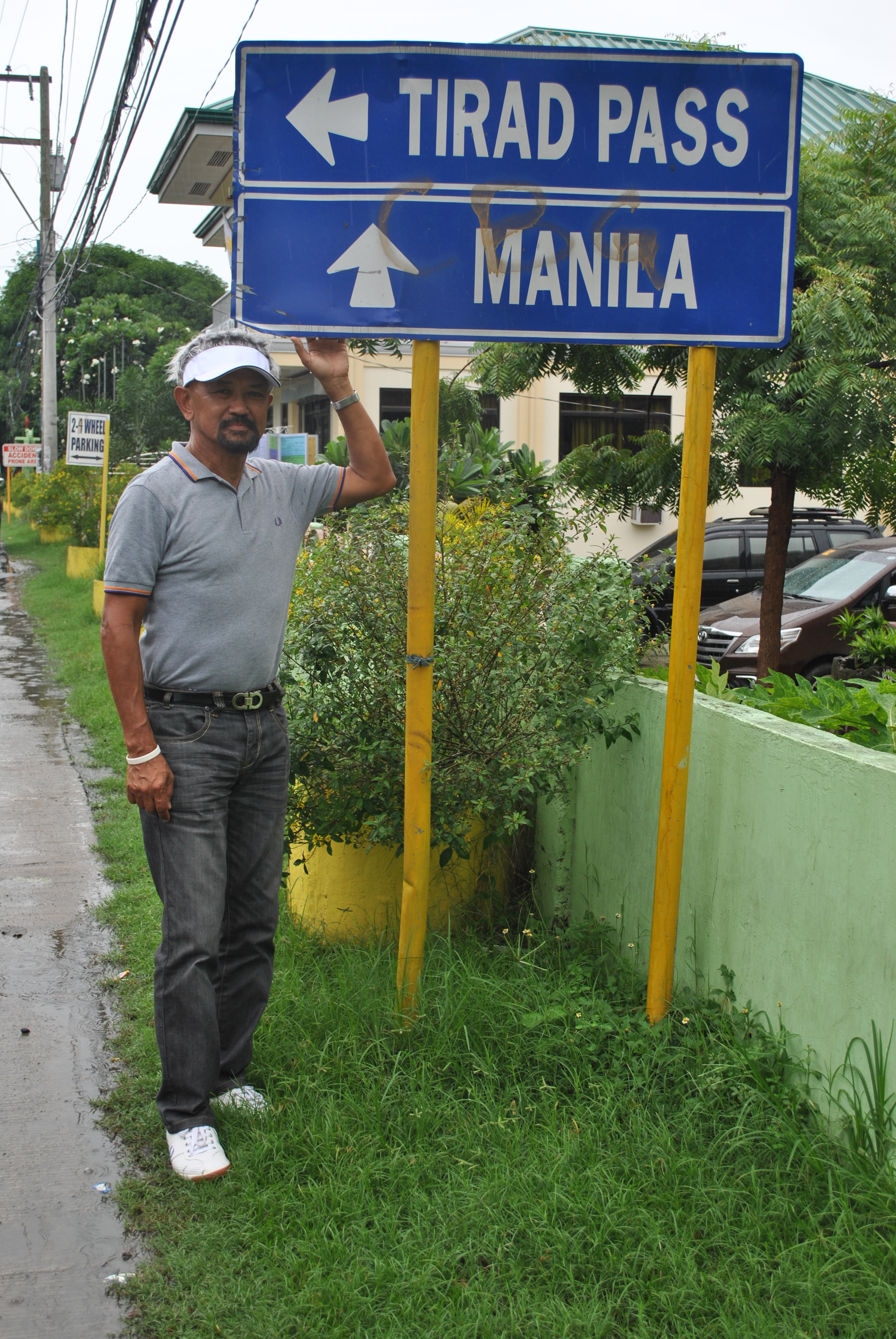
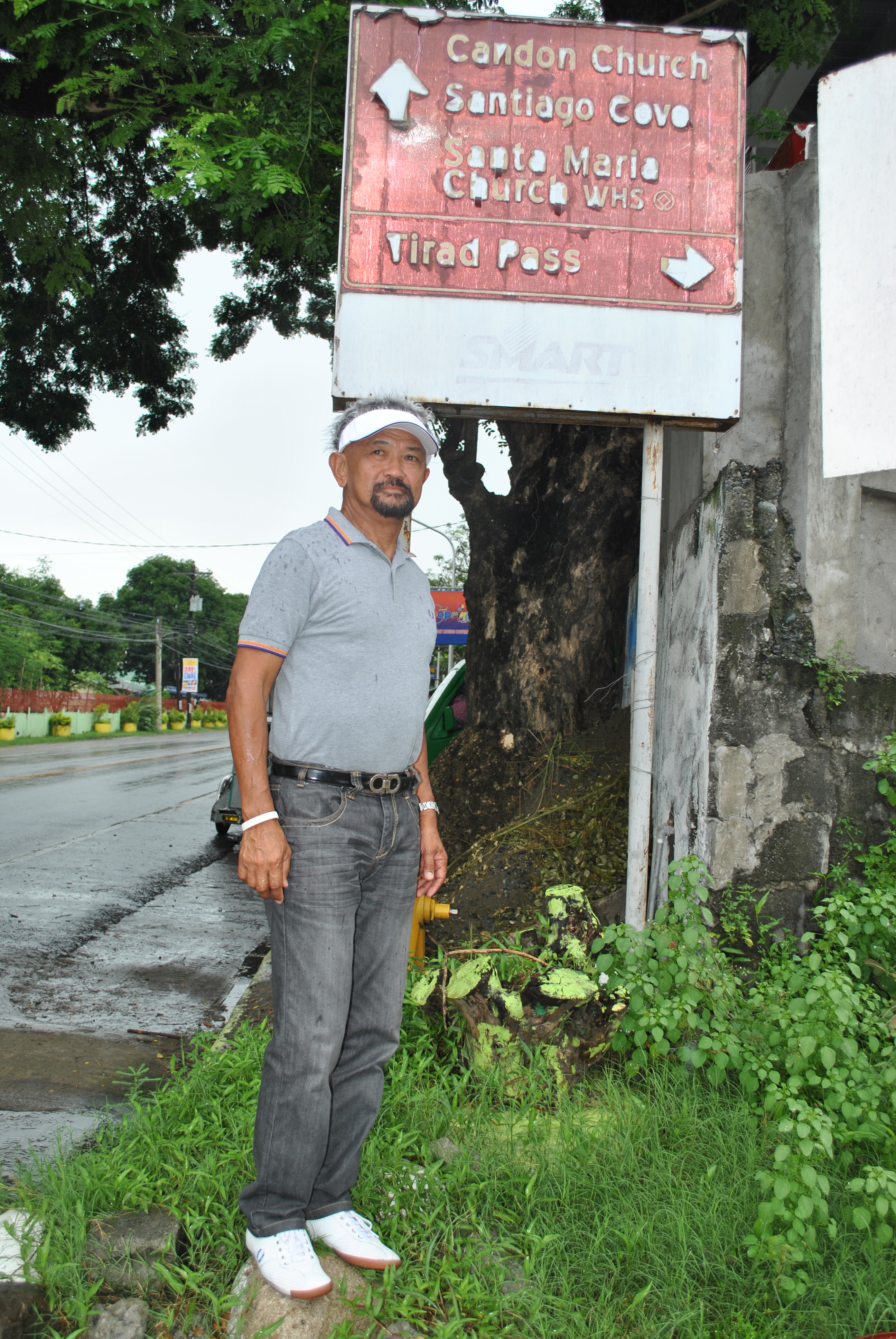
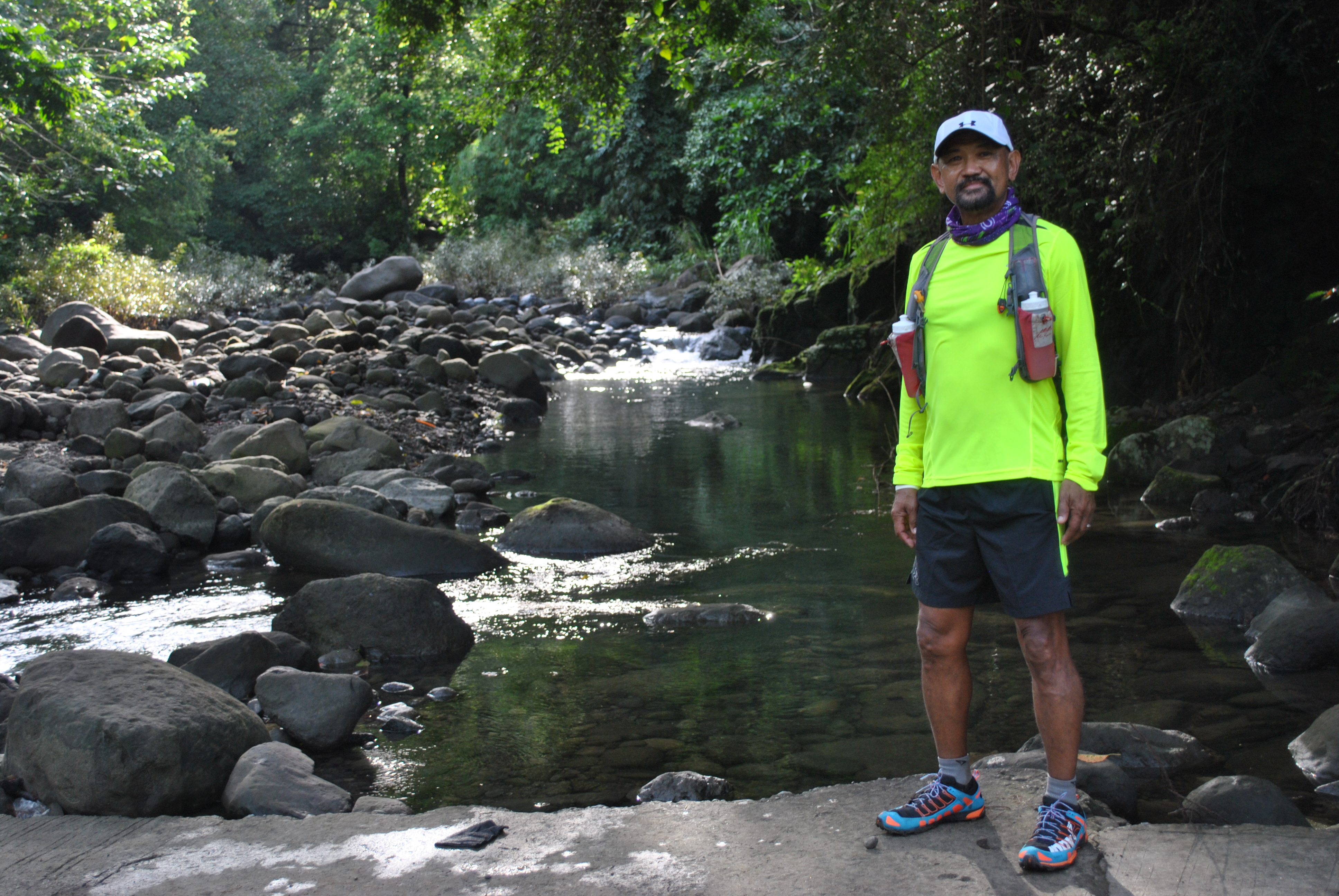
General Aguinaldo Trail: Hike & Survey (Part #3)
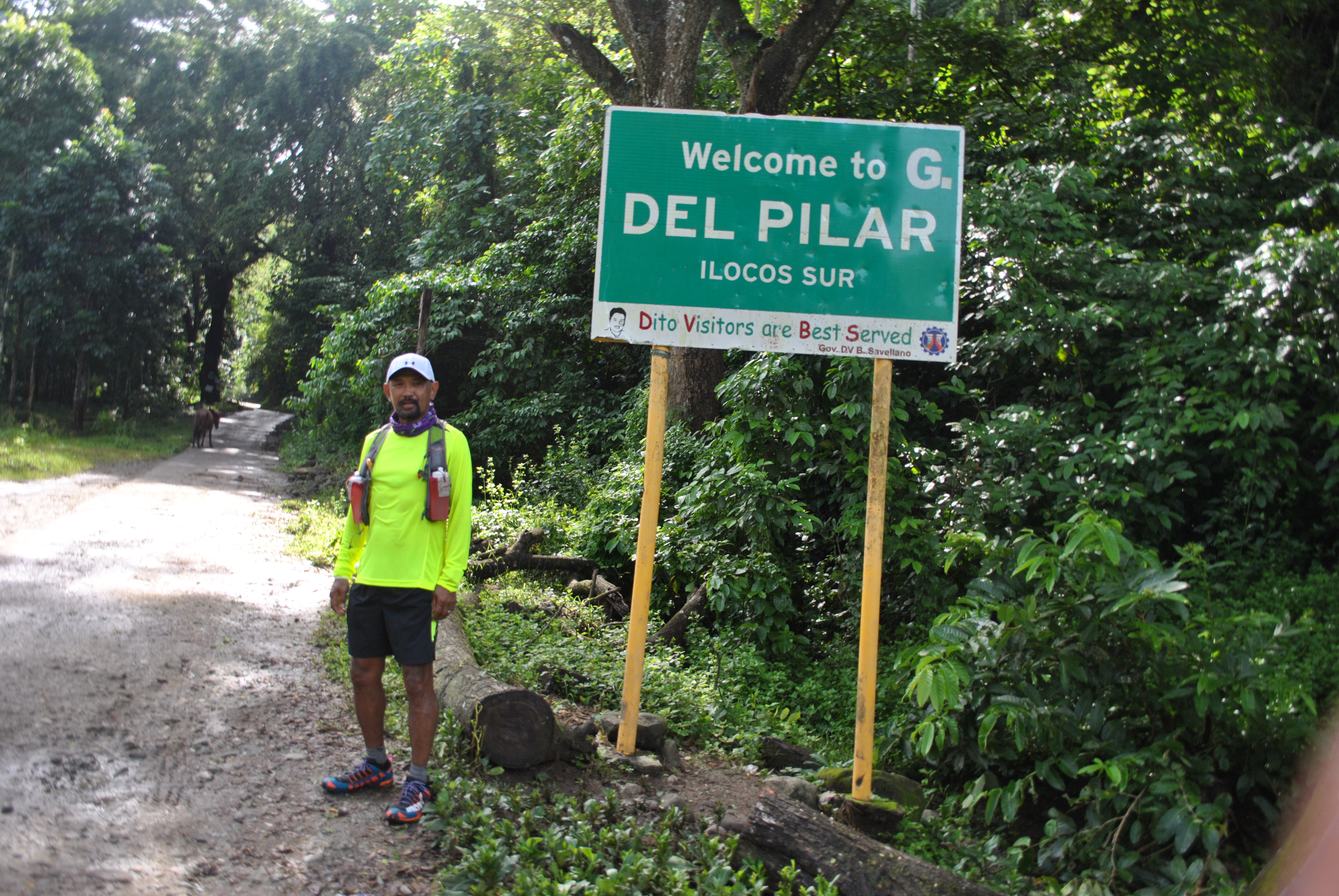
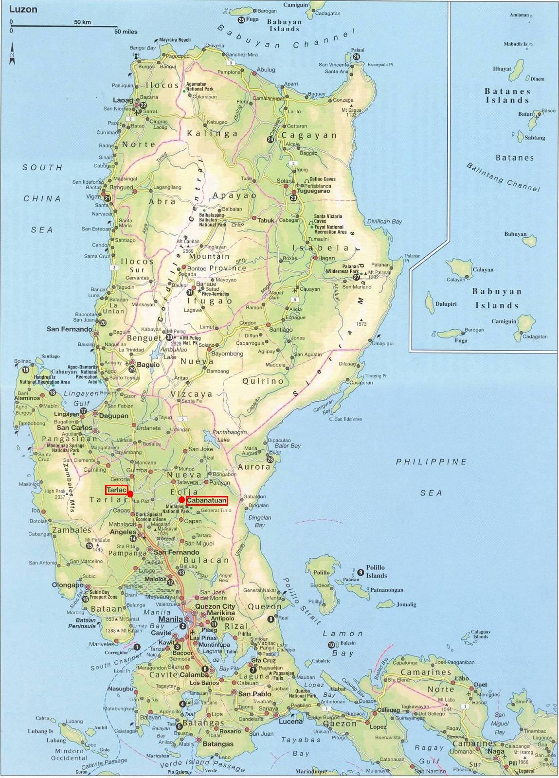
I decided not to stay long in my “Base of Operations” in Salcedo, Ilocos Sur and instead, went directly to Cervantes, Ilocos Sur via the Bitalag-Bessang Pass-Cervantes Road aboard my private vehicle. There will be some more days to be scheduled for me to hike the first segment of the of the route, which is the Candon-Galimuyod-Salcedo- Gregorio del Pilar-Mt Tirad Pass-Quirino-Cervantes Route. This leg has a distance of 73 Kilometers.
I am surprised that the Bitalag-Cervantes Road is fully paved. On the day that I took my road survey, I was surprised that the PNP were stationed and visible in the Poblacion of Towns and Barangay Centers along the route. I had to briefly stop to talk to the uniformed men when I was already in the mountainous part of the route. I asked them why there is a lot of route security elements along the road. They answered me that they were tasked to secure the road up to Cervantes because a VIP and his entourage is going to pass the road and they will be there for the whole day.
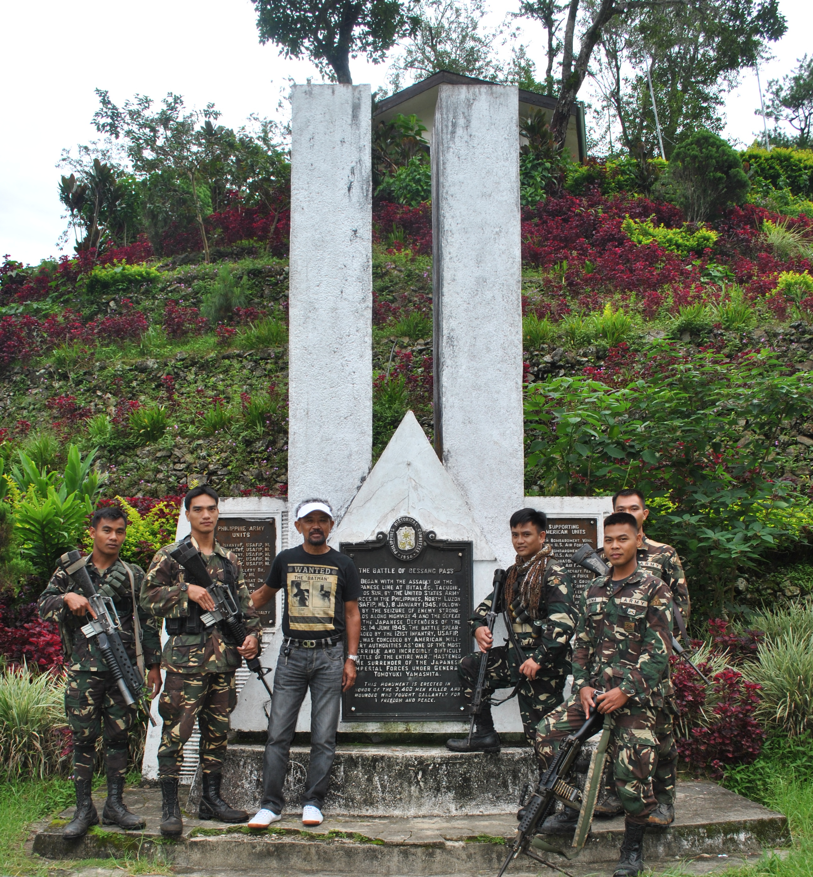
As I reached the peak of the mountain range at the Battle of Bessang Pass Shrine, I could see a group of soldiers from the Philippine Army and took time to stop my vehicle, talk to them and to ask them about their unit’s headquarters and the reason why they are in the area for the task as route security. From the information I gathered, there is an on-going periodic Conference/Meeting among the Regional Directors of all the Government Offices in Region 1 and the meeting is happening in the Poblacion of Cervantes. I also found out that their Battalion Headquarters is located in one of the Barangays of Cervantes situated between the towns of Quirino and Cervantes.
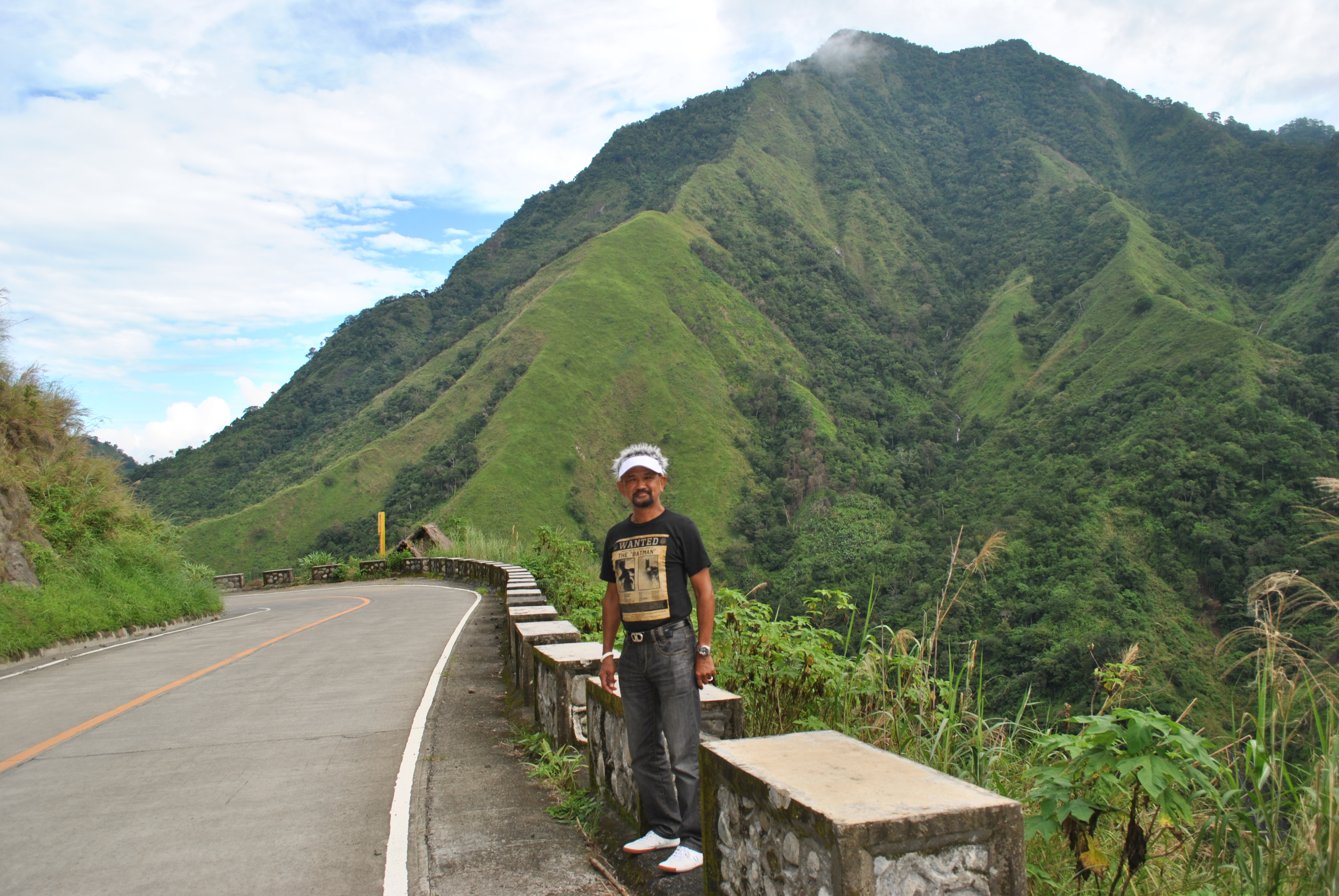
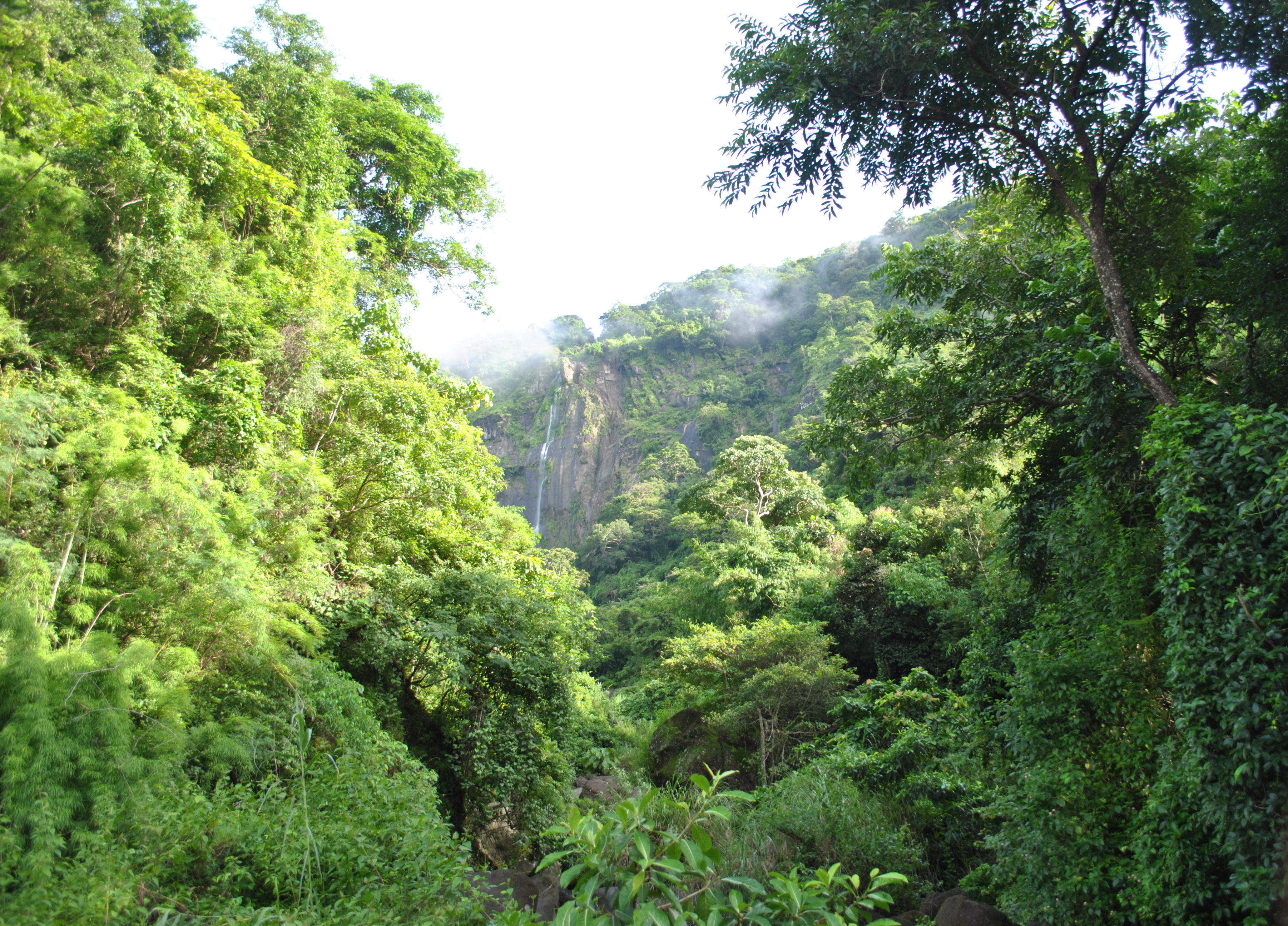
The scenic view of the route from the peak of Bessang Pass and the view of the Cordillera mountains on the east are simply very beautiful and amazing as one would go down on a zigzag road towards the plains of Cervantes. One could see a lot of pine trees beside the road and the mountains seem to be undisturbed by illegal loggers and “charcoal making” industry. The same observation can be gleaned on the Ilocos Sur side of the mountain except for the additional residences/houses that I’ve seen to be added since the time I last passed the area almost 20 years ago. The distance from the Battle of Bessang Pass Shrine to Poblacion Cervantes is 18 Kilometers.
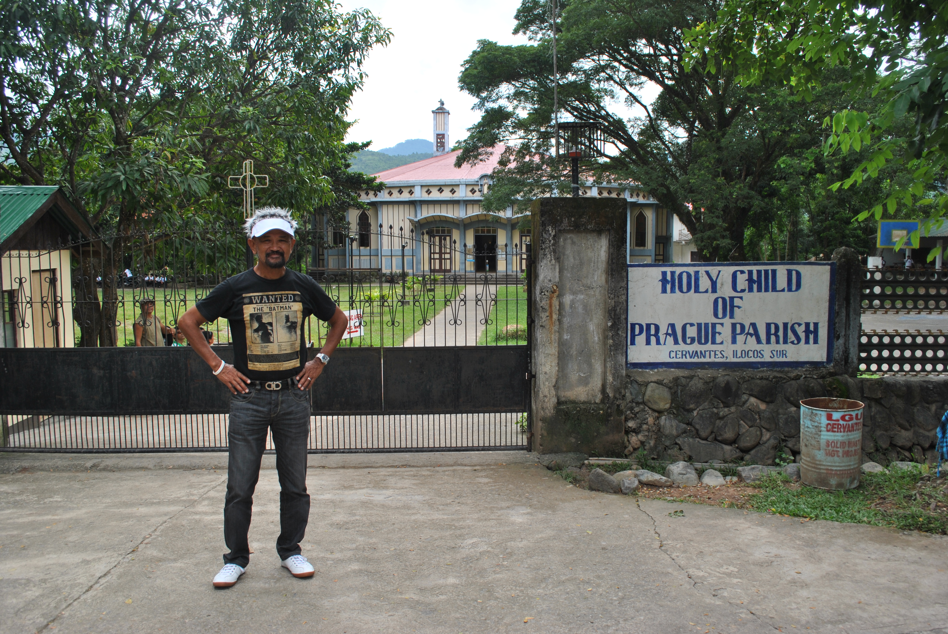
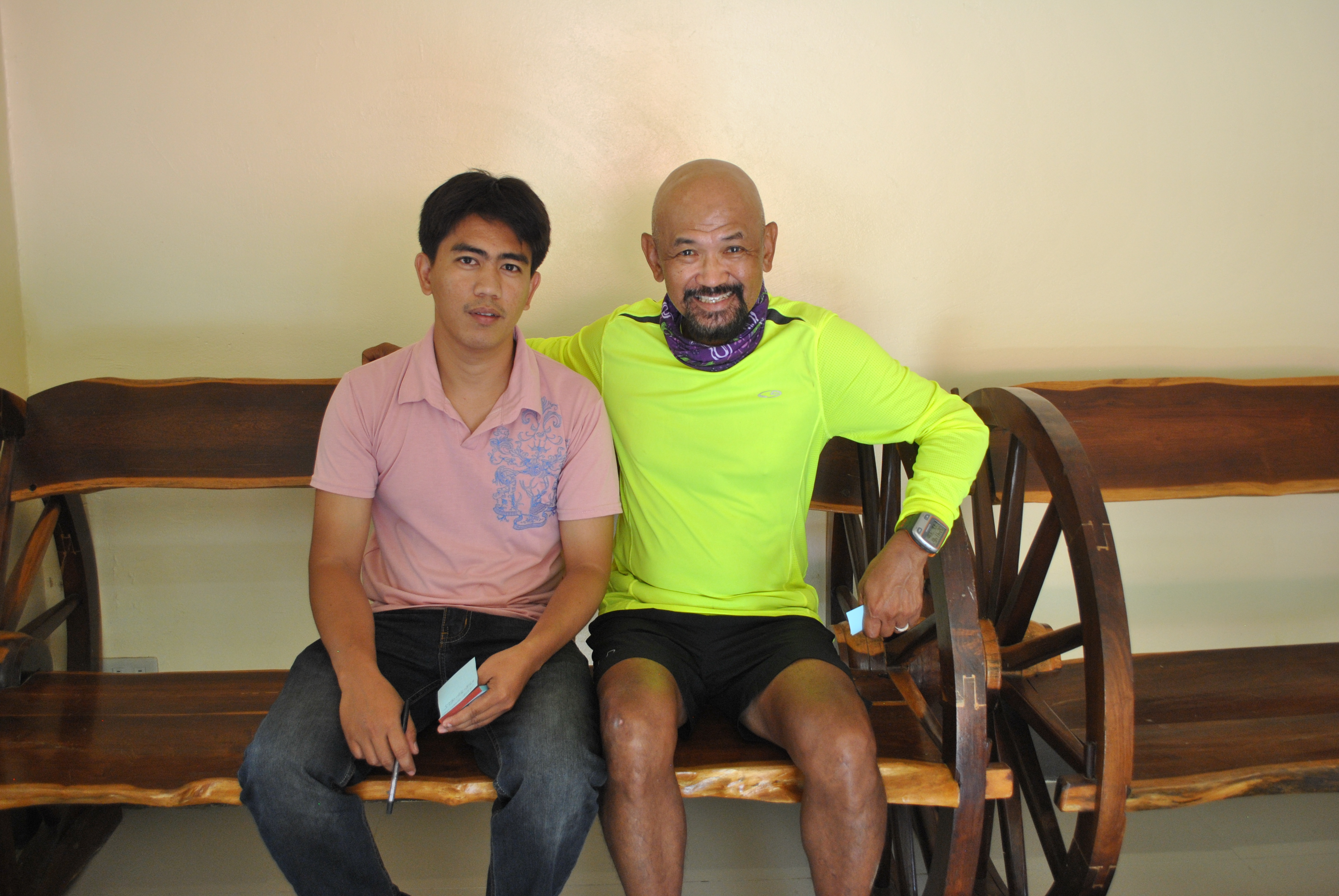
Once I reached the Poblacion of Cervantes, I could hardly see a Parking Space on the roads surrounding the Municipal Hall and Public Market. I was luckily to park my vehicle near a road that leads to the Church. I went for a walk towards the Municipal Hall and I could see that a Program and Public Meeting/Consultation was being held with all the Heads of the Government’s Regional Offices taking their turns to speak before the Crowd and answering the concerns of the different “leaders” and Barangay Representatives of the Locals. There was no point of trying to locate one of my friends on Facebook who happens to be the Municipal Secretary of Cervantes and for me to pay a courtesy cal to the Municipal Mayor. I was trying to drive through the Cordilleras and orient myself as fast as I could and there was no way for me to wait until the proceedings would end late in the afternoon.
Instead, I talked to two ladies who were selling fried bananas on the street and asked for directions in going to Quirino, Ilocos Sur and the the road that goes to Sagada-Bontoc, Mountain Province. On a crossroad/intersection being manned by 3 personnel of the PNP, I asked them about the directions to take in going to Mountain Province and they gave me a detailed description of the route and warned me on the “new” bridge that I need to cross towards the Cordilleras. Cervantes appears to be the Crossroad to travelers going to Ilocos Sur, Abra (via Qurino), Mountain Province and Benguet. It is the Gateway to the Cordilleras from the Ilocos Region/Northern Luzon Provinces.
Coming from one of the Ilocos Provinces, I would save at least 4 to 5 hours to reach Sagada, Bontoc, and the Banaue Rice Terraces, instead of passing the traditional Naguilian, La Union to Baguio and then to Halsema Highway to reach such places. I wonder on whose Presidential Administration that this road was finally paved and realized but it is concluded that such places in the mountains would be easily accessible to the lowlanders for progress and better economy.
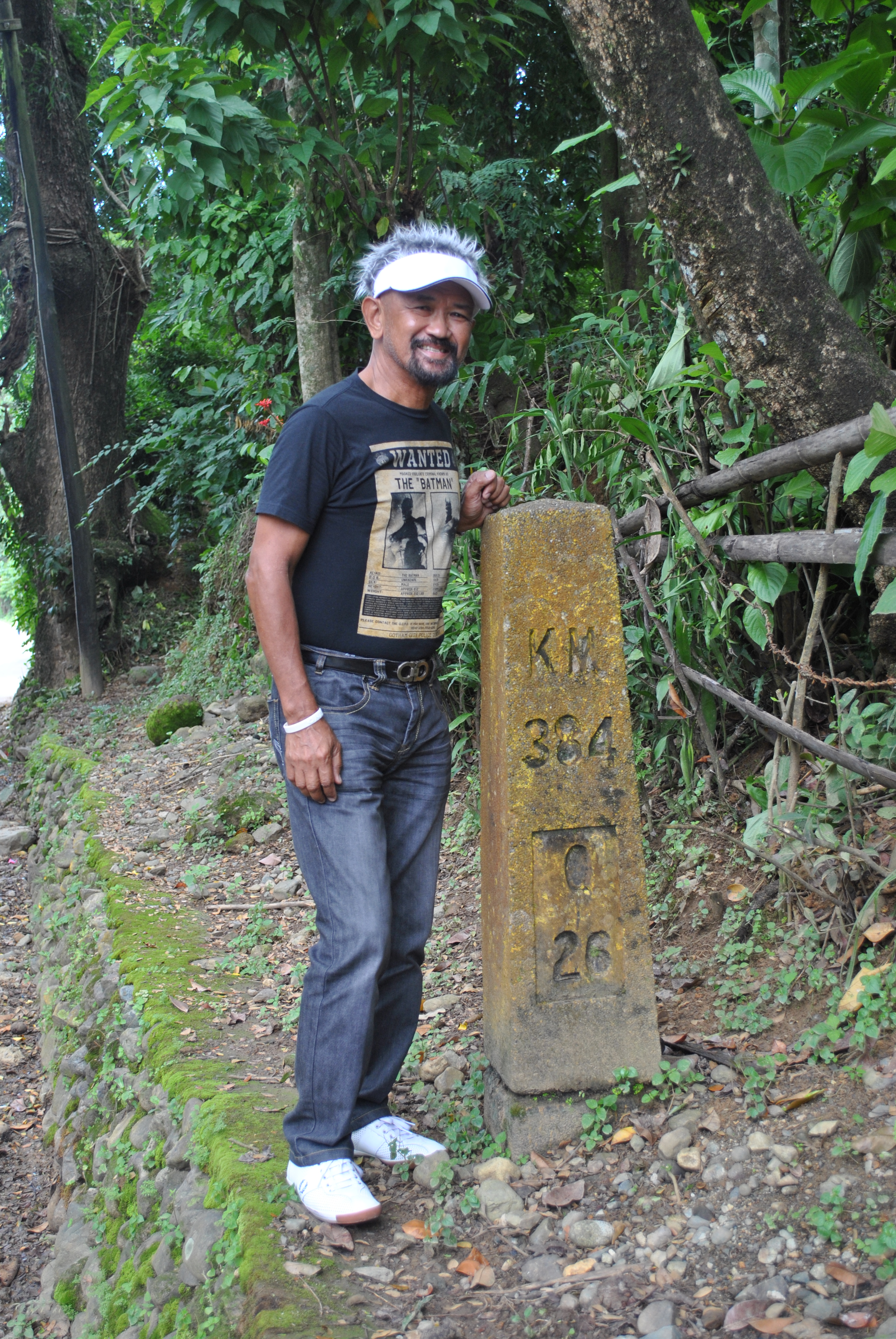
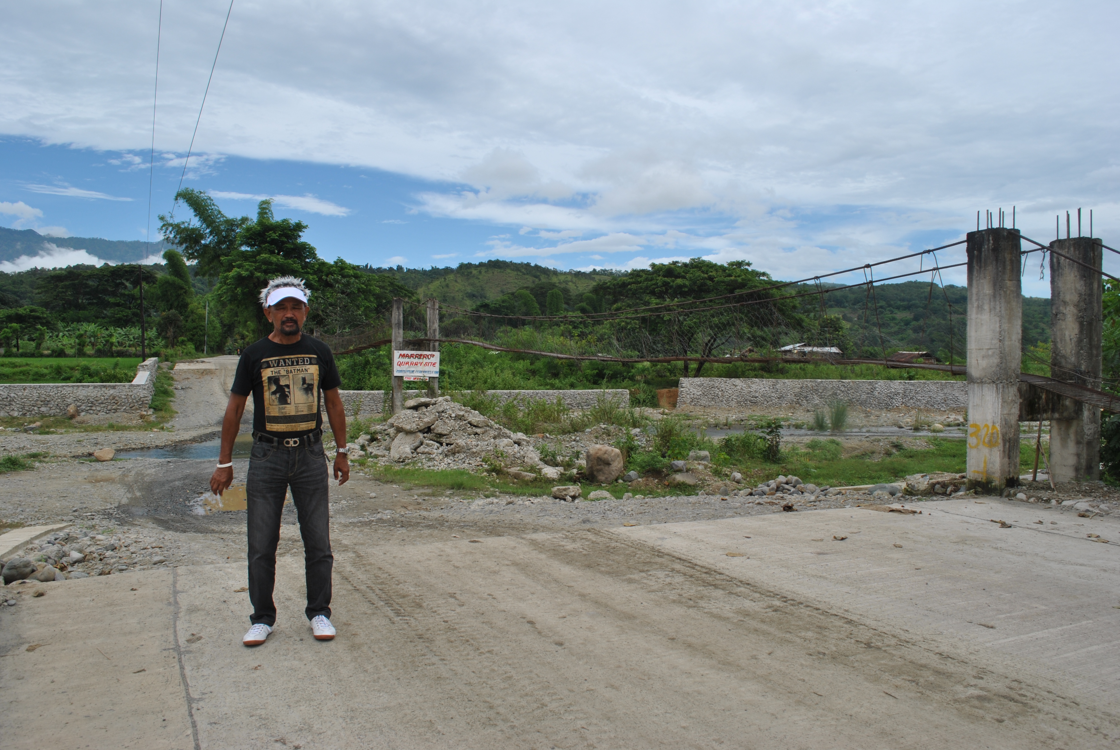
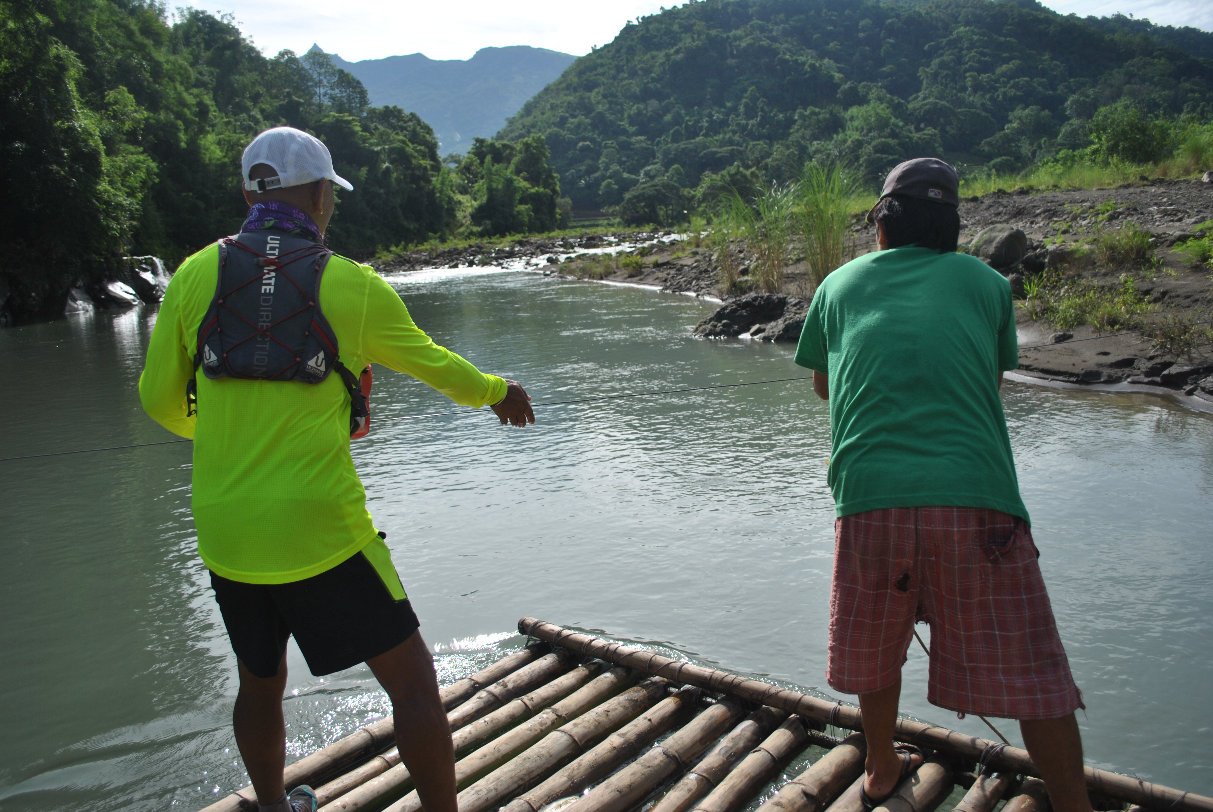
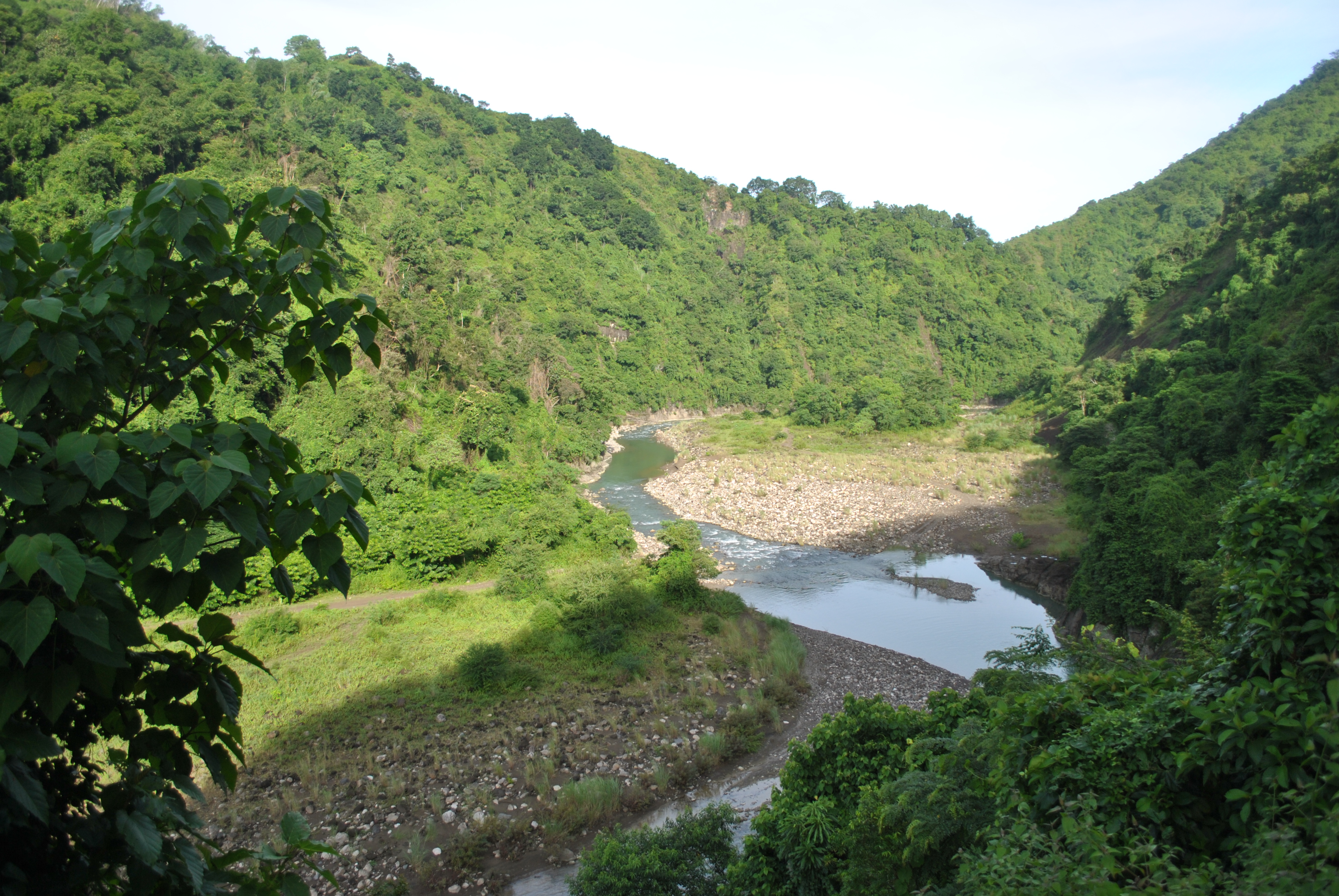
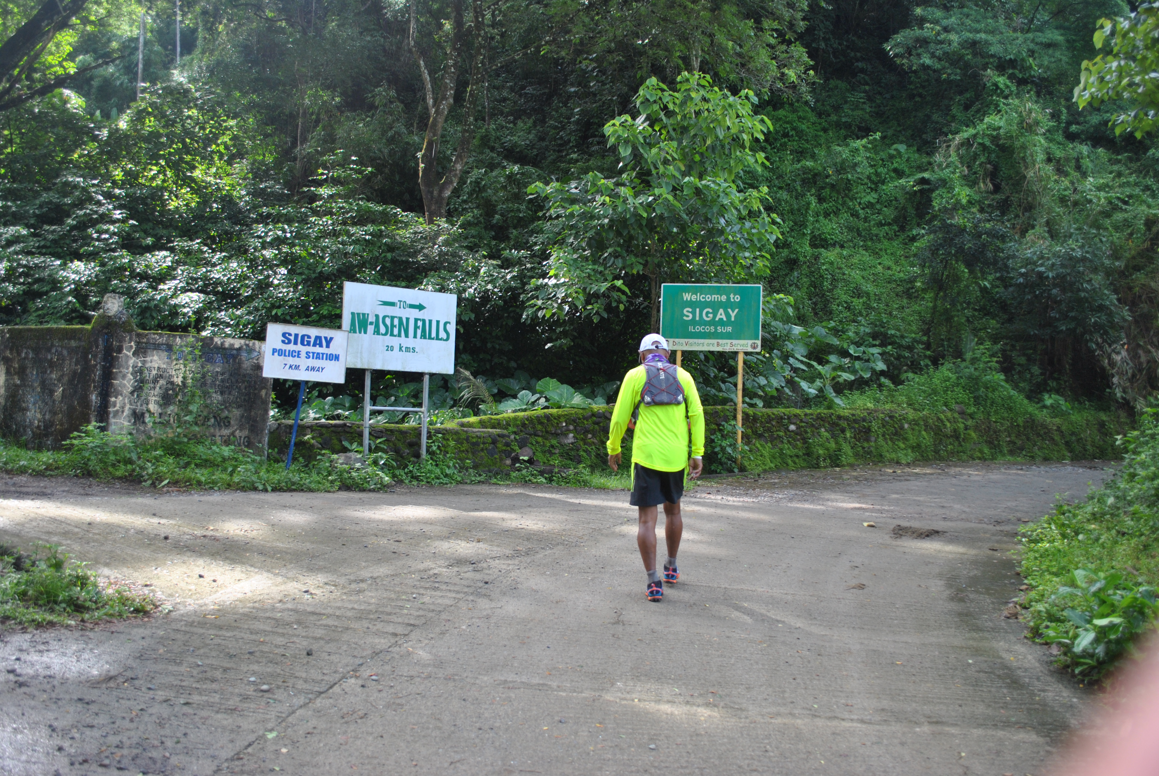
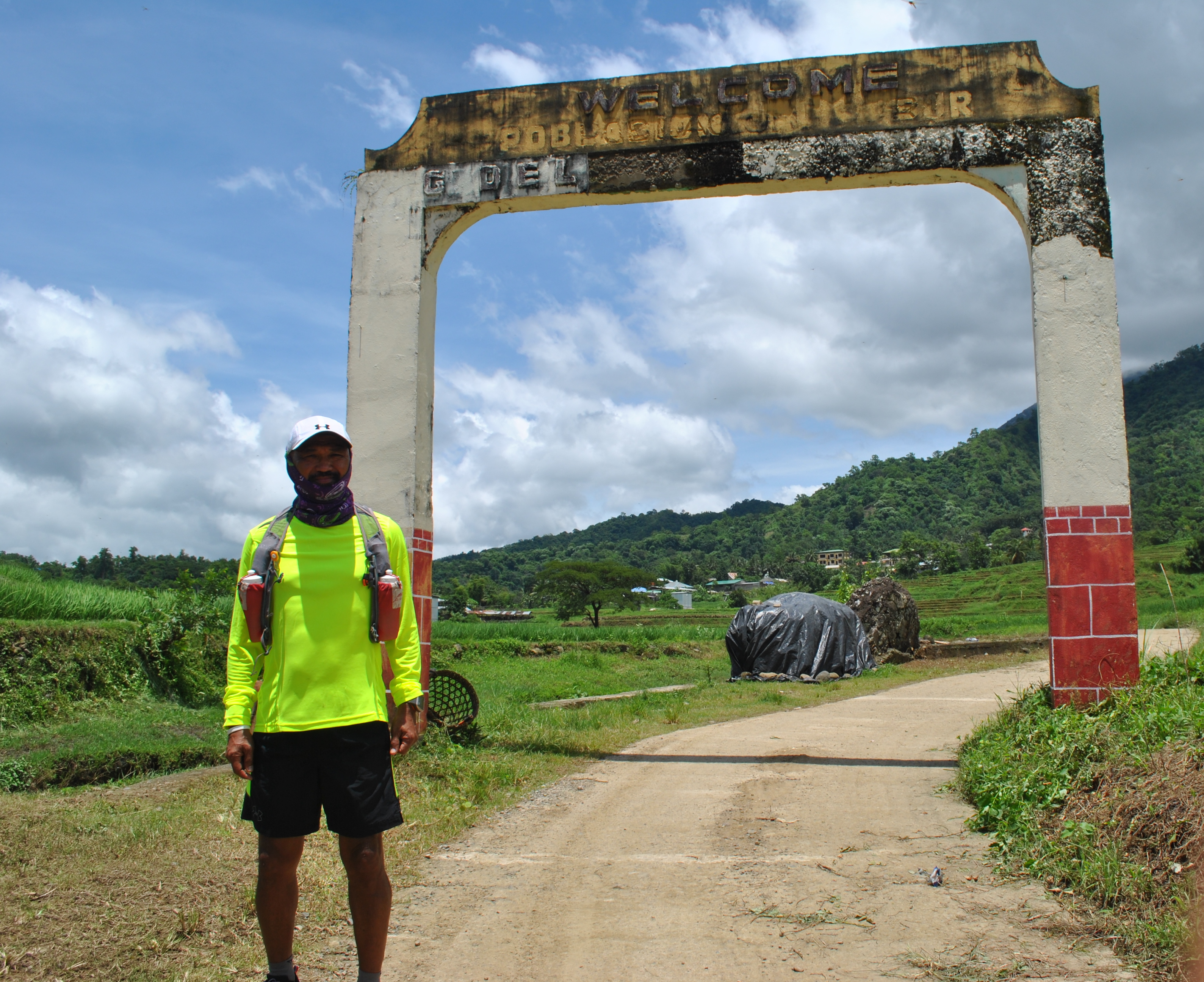
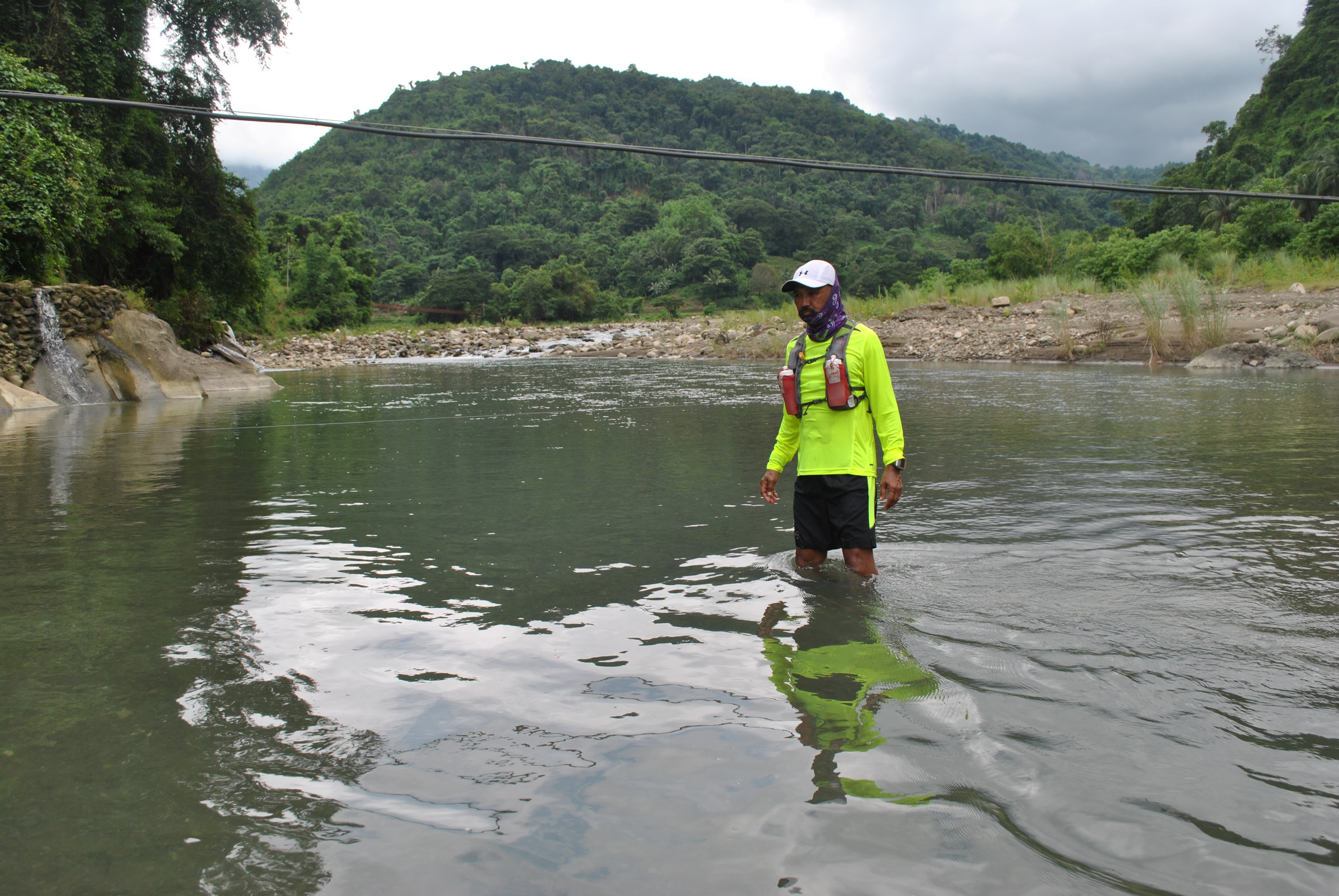
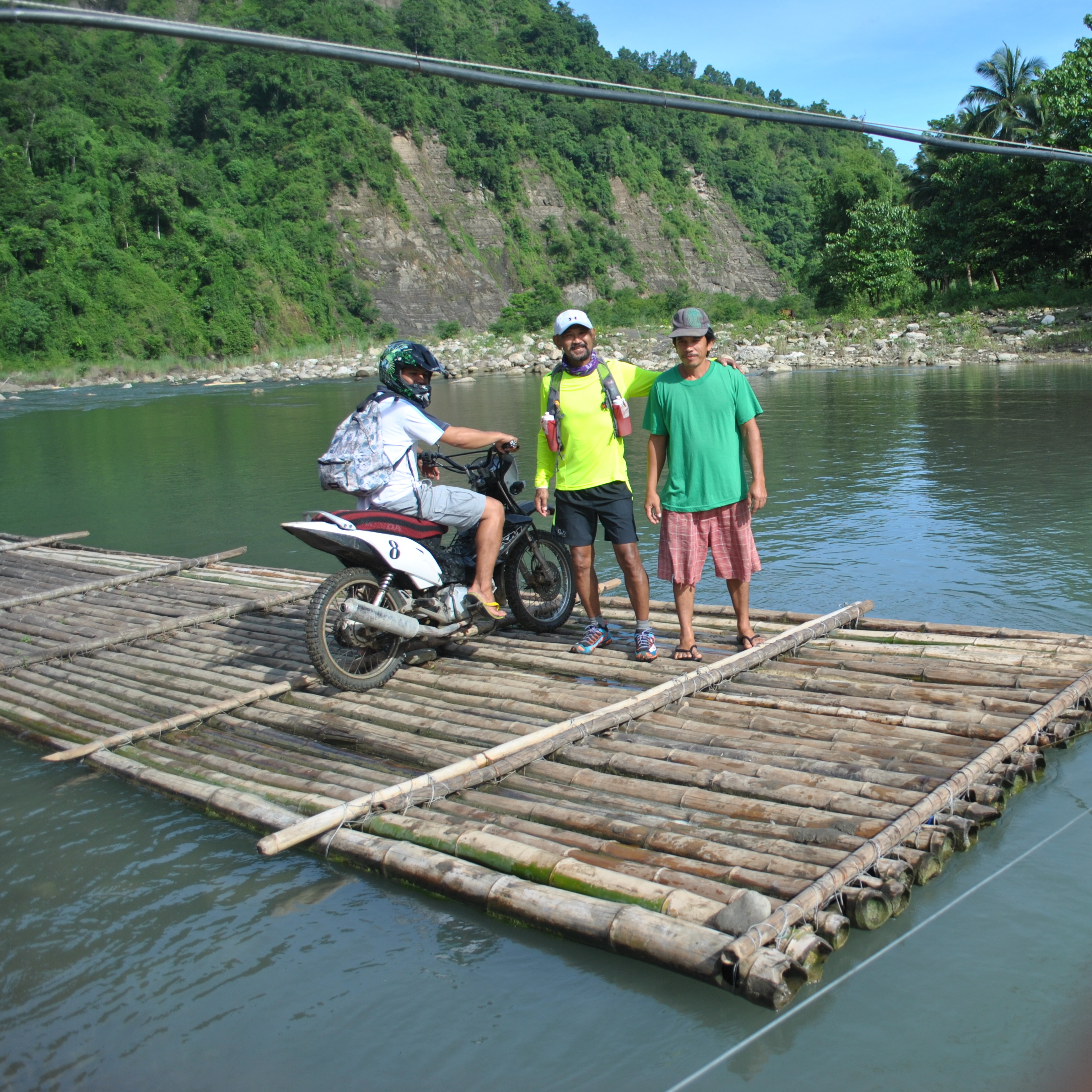
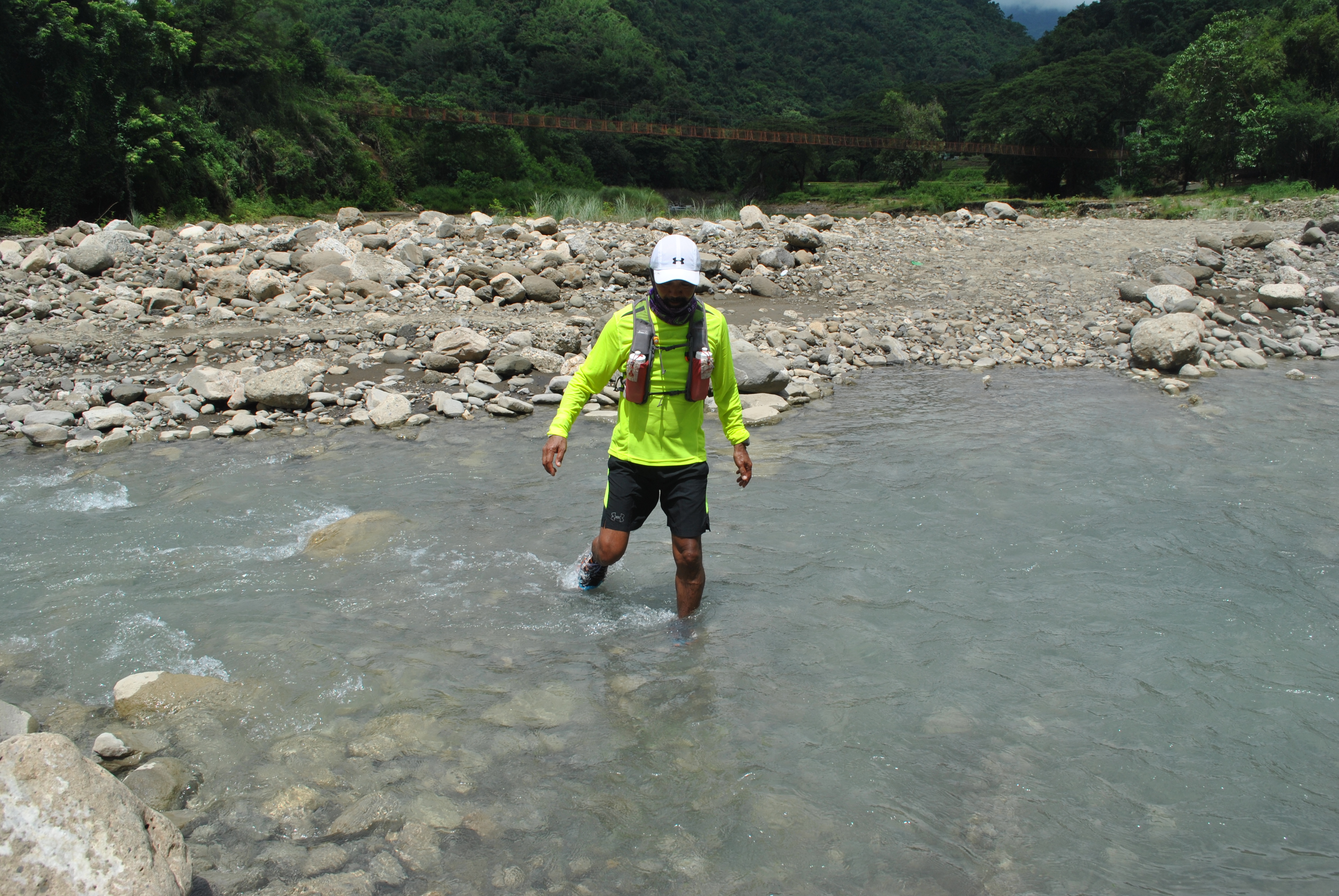
Knowing that the General Aguinaldo Trail connects the towns of Quirino, formerly known as Angake/Angaki, and Cervantes, I went to the road that connects the two towns but after one kilometer from Cervantes, I stopped before a part of the road that needs to cross a stream of water on a river. After assessing the depth of the flowing water, which is too deep for my vehicle to cross, I decided to just take pictures of the place with the skyline of Mt Tirad as the background. I would see more of this route when I will actually hike the other side of the town of Gregorio del Pilar.
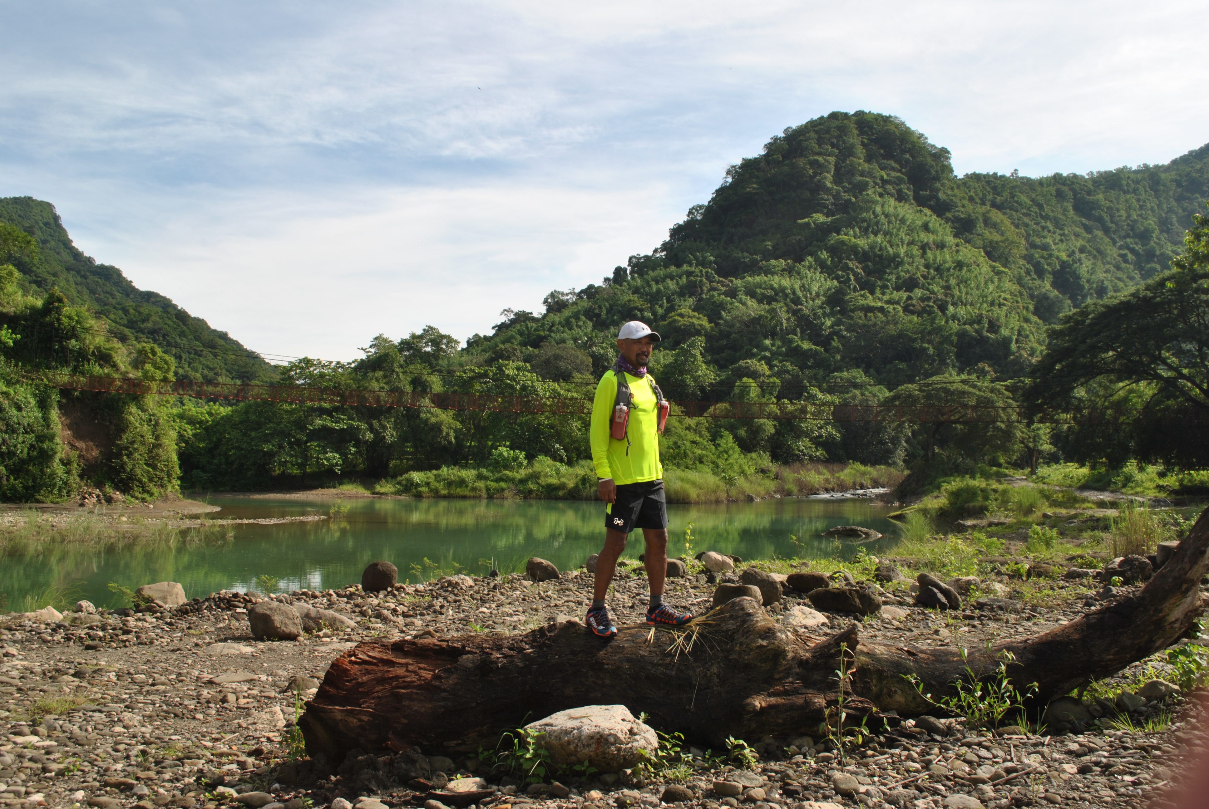
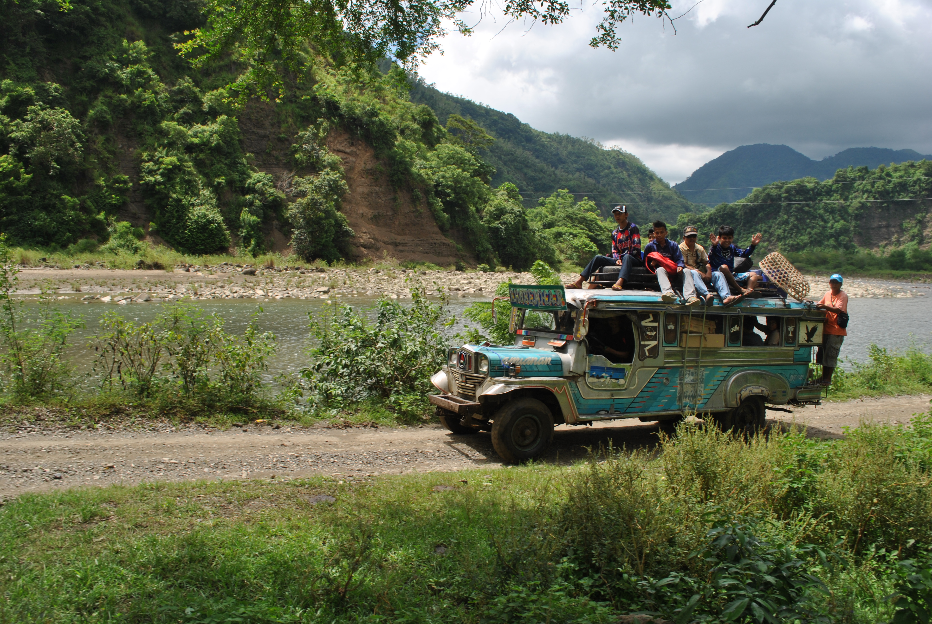
I went back to Cervantes and took the road that goes to Tadian, Mountain Province. The Poblacion of Cervantes is located on top of a hill and for one to leave the place, the road leaving the center of the town is a descending one until it flattens. After a few turns, I could see a long and newly-constructed bridge that connects the lower mountains to the higher ones over a wide banks of a river. I need to stop at the approach of the new bridge for a photo-ops.
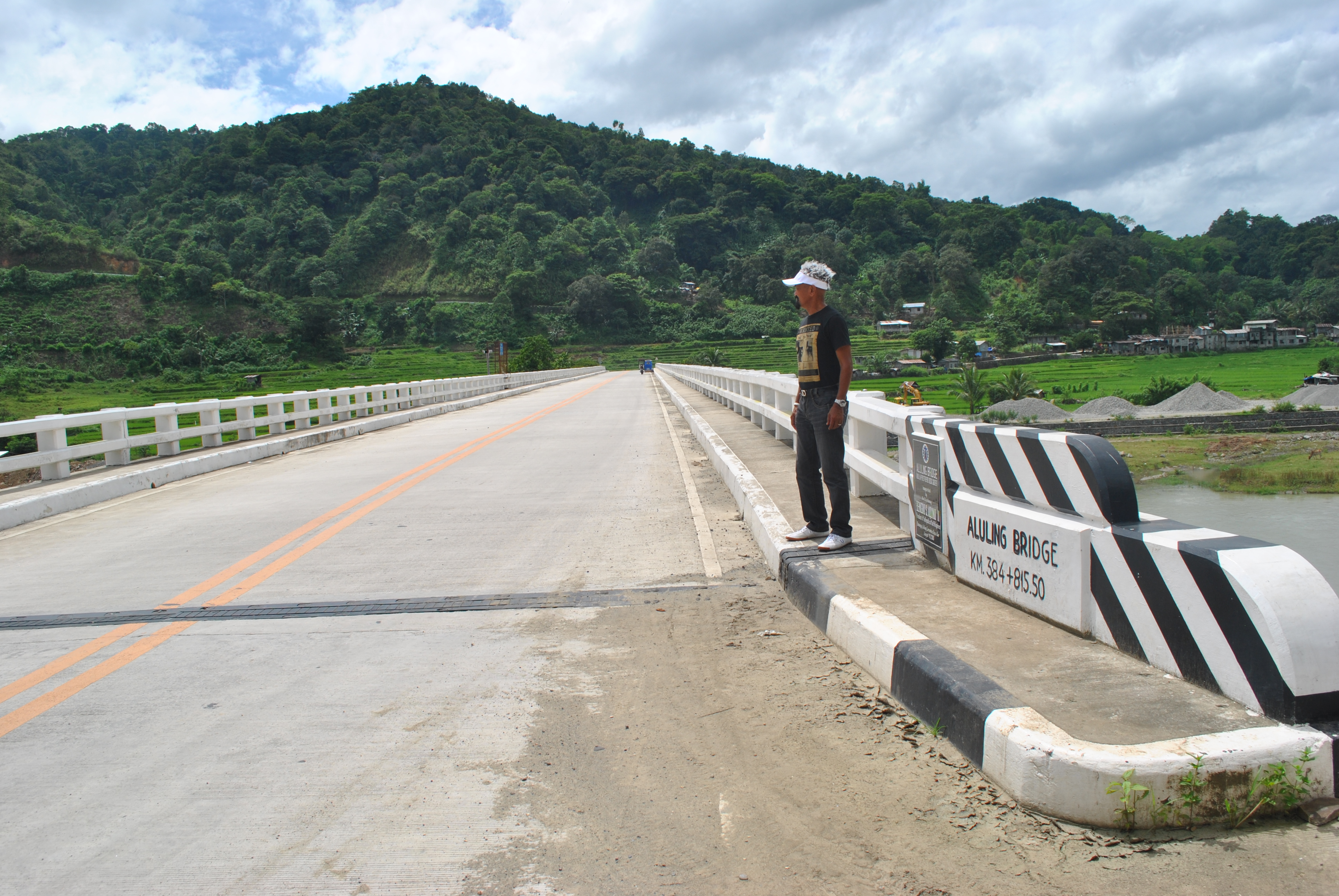
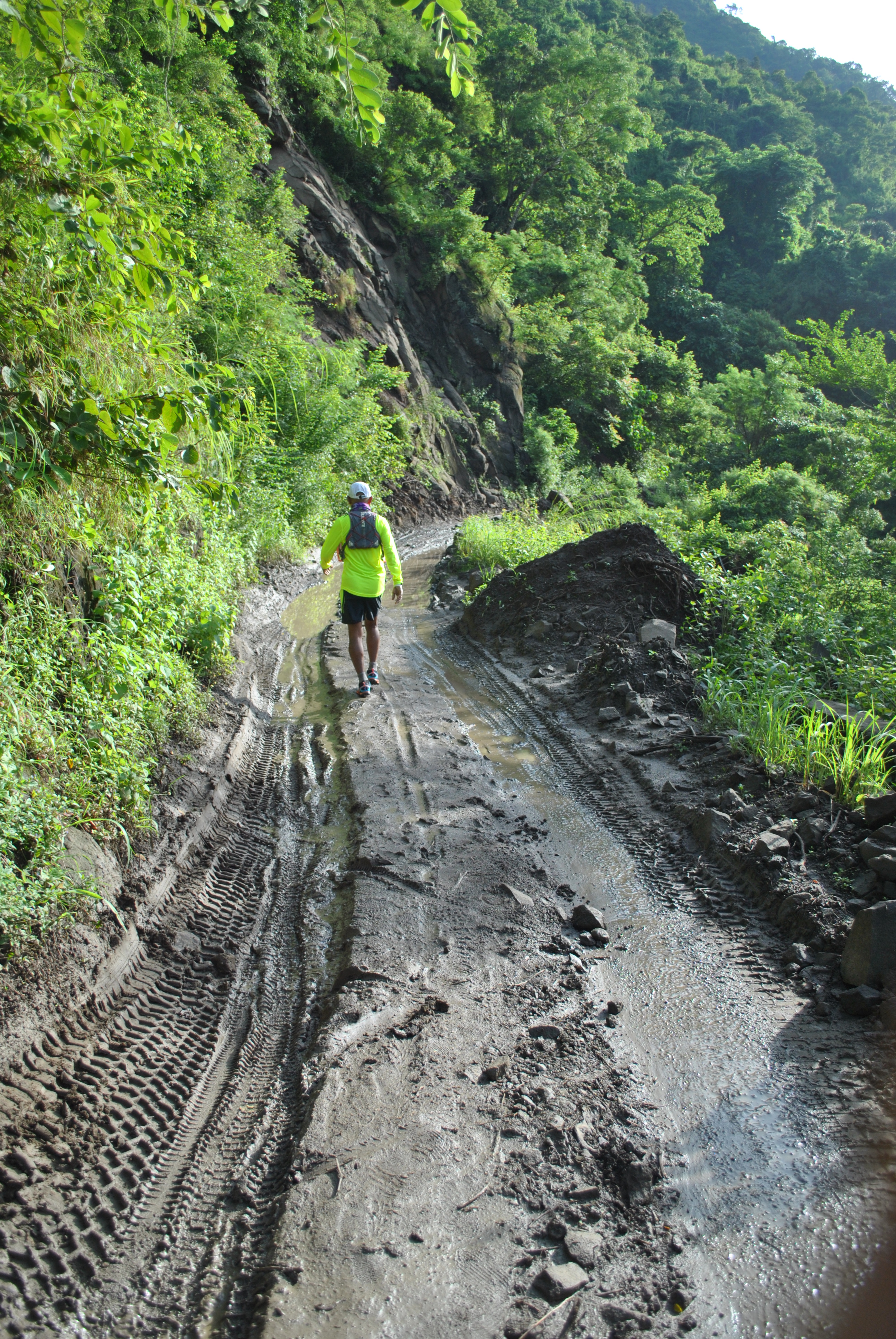
After crossing the bridge, the road starts the ascending route towards the Cordilleras. I observed that few vehicles are plying the route and I only see delivery trucks for groceries and was not able to see any other private vehicle along the route until I reached an intersection where the other road leads to the barangays of the Municipality of Tadian, Mt Province and further up to the Halsema Highway that leads towards the province of Benguet and the City of Baguio.
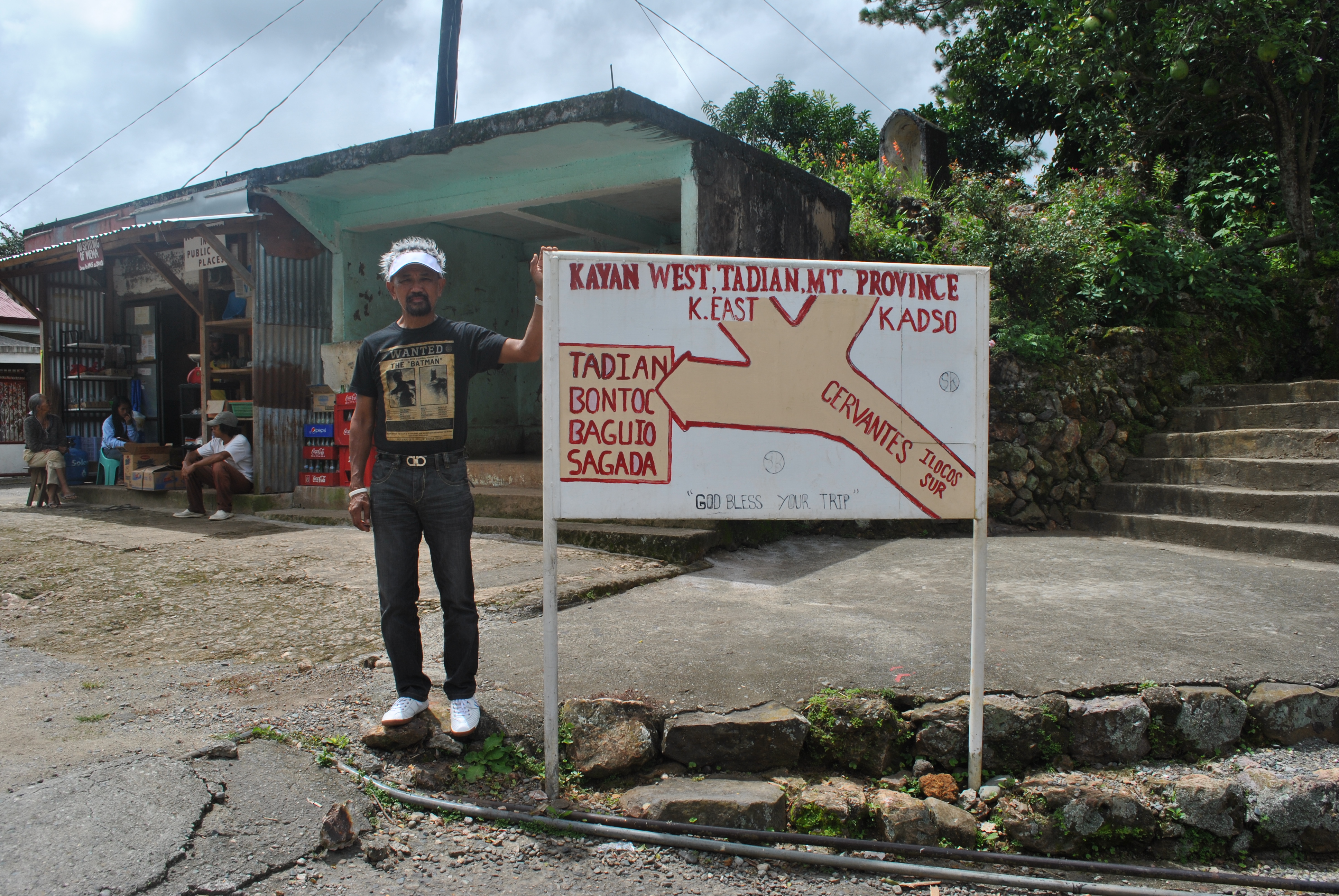
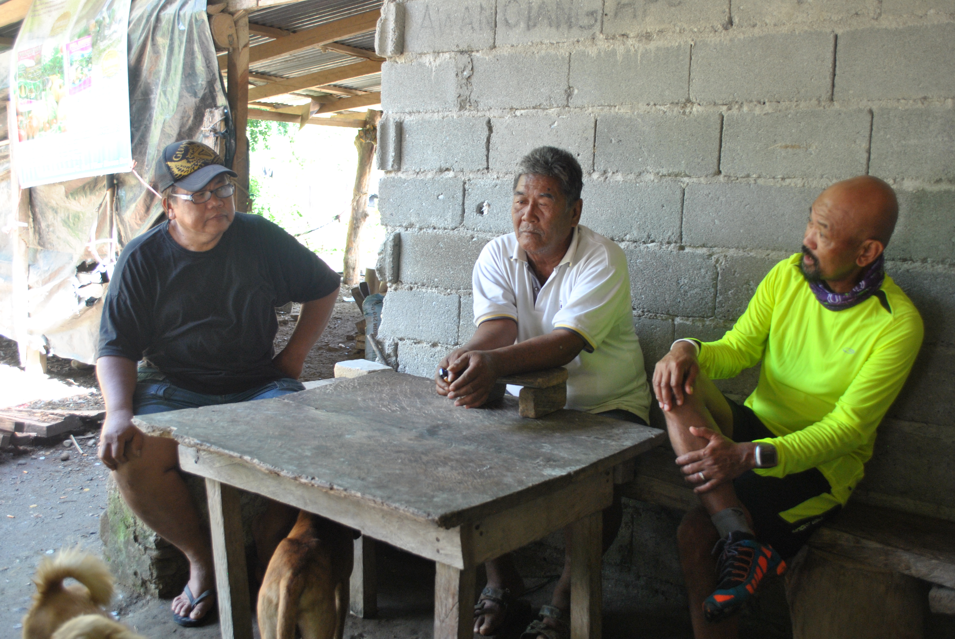
I stopped by an intersection, took some pictures and talked to the locals who happens to be waiting for a ride and the owner of the store near the intersection. The old women who own the store was not aware and ignorant about the history that unfolded in their place but the middle-aged man who was sitting as if he was waiting for a ride, would start talking to me by answering my questions about General Aguinaldo’s presence in the area at the turn of the century. He would recall the stories from his old grandparents and parents about the presence of Katipuneros who passed their area. He confirmed that the road that goes to Tadian, Mountain Province is the same route that goes to Bontoc in the early days, popularly known then as the “Spanish Trail”.
To Be Continued.


You must be logged in to post a comment.