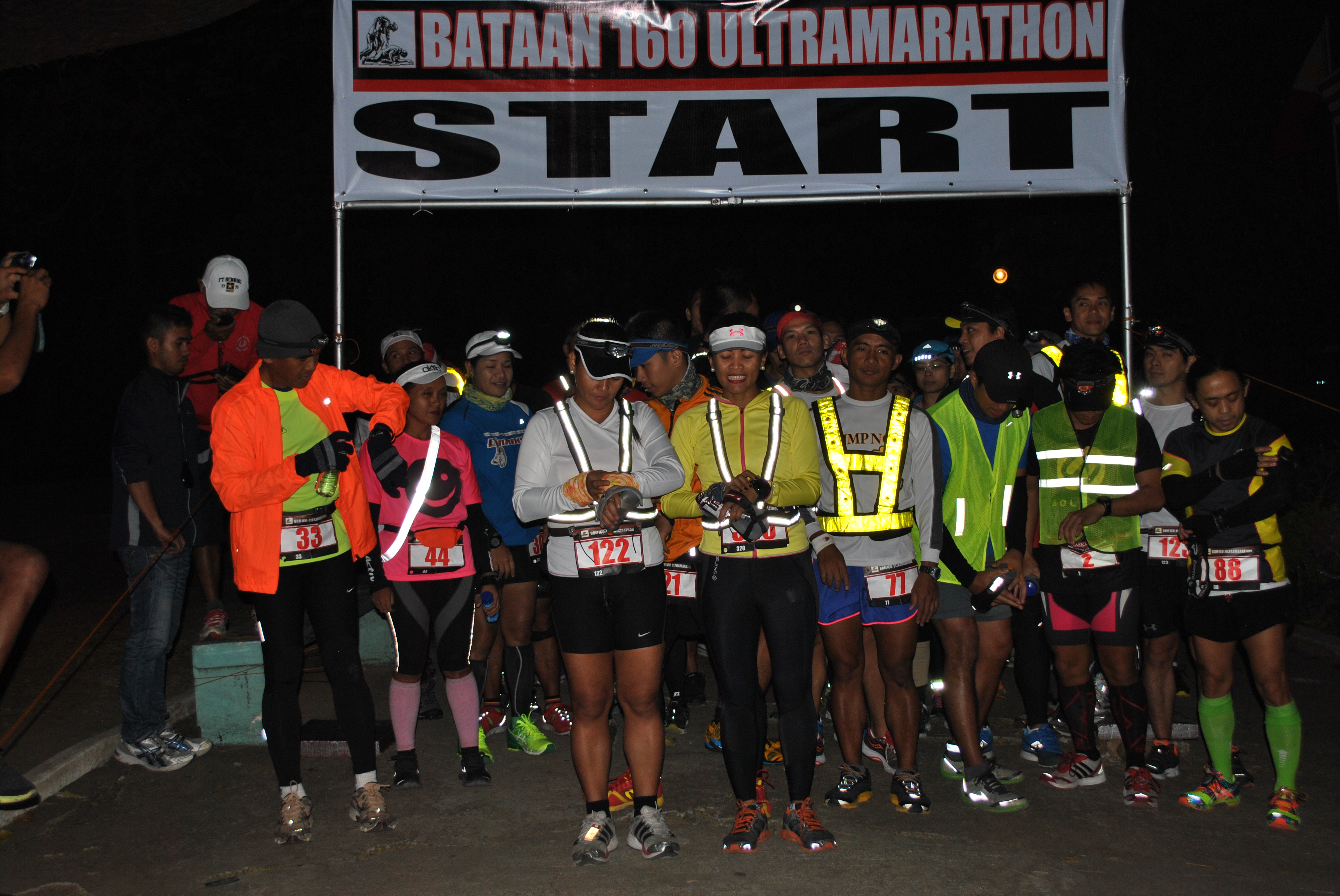
There are three (3) important things or information that I would like to report on this challenging ultra trail run here in the Philippines: First, I finished this race with a faster time as compared to my last year’s performance; Second, This is my third consecutive finish and I am on my way of getting the most coveted Baddest Ass Award for this event with two more editions to finish; and Third, I am still the Defending Oldest Finisher for three consecutive years for this Event.
Even if there is no specific award for the Oldest Finisher for this race, I am sure that I will be the First Senior Citizen to have coveted the Baddest Badass Award before the end of 2017. And maybe, it will mark my “retirement” from ultra trail running. Just maybe!
As compared to my last year’s five-month training preparation, I have a shorter training period for this year which are mostly done on the road, oval track, and hiking in the mountains on the first month of my 4-month training period. However, on the last six weeks/peak period, almost all my training long runs were done on the road, specifically on the road races that I have Race Directed since the middle of September. My Mt Batolusong 25K Trail Run participation was a test to validate my new nutrition strategy and narrow down the things that I need in a hot environment. However, I had more time to work on on my core and to rest/sleep as recovery for my running on the pavement.
Last year’s Race Report on my second time finish on this event was very detailed and it was divided into four (4) parts and I believe that this is now considered as the number one resource or reference material for those “newbies”/”first-timers” for the CM50-Mile Event. I will not go through to the detailed description of the course and the usual “section-by-section” narrative of my experience on this Race Report but rather state or tell those significant things that made me faster and more efficient in my finish this time. The following are the things that I’ve considered and applied during the race:
Simplicity and Being Light—One week before the race, I’ve decided to use my two-year old New Balance MT Minimus 1010v2 Trail Shoes which is very light (240 grams per shoe) and it proved to be the best shoes for this kind of trail running. Believe me, there was no grain of lahar that penetrated its upper mesh and therefore, its lightness did not change throughout the race. I did not use any Hydration Vest but I’ve used three (3) Simple Hydration Bottles with only one bottle filled with my nutrient mix (Carbo Pro) diluted with water; one bottle of Carbo Pro Powder only; and one empty bottle as my previsionary “Water Cup”. It was only from the AS4 to the Peak that the three (3) Simple Hydration Bottles were filled with Carbo Pro Mix and Water. On my way back to the Finish Line from AS3, I have one bottle filled with Carbo Pro mixed with water and one bottle filled with Water Only. Stashed in my UD Waist Belt Pockets are two (2) Clif Meal Bars & Whistle. I was not wearing a pair of Calf Sleeves.
Familiarity of the Route—One month before Race Day, I went up to the “peak” and Miyamit Falls for a training run. It was on this run that I was able to “program” and plan for my hydration and nutrition requirements. I was able to register also my Average Pace on this part of the course in order for me to determine the “timeline” on each part of the course (from Km #24 to Km #56). I found out that I must be able to leave AS3 on my way to the Finish Line not later than 2:00 PM (13 hours elapsed time) so that I have enough “buffer time” before the cut-off time of 18 hours.
Simple/Light Nutrition—-Eating a Full Meal (Rice & Meat “Adobo”/Beef Steak) before the Start of the Race (30 minutes before) with hydration (water + Carbo Pro), proved that I could last for the first 3 hours without any hydration or food intake. I took two (2) packs of Clif Bloks and One Meal Bar for the whole duration of the race. I would place a Coffee Candy in my mouth regularly in order to maintain a little sugar to my saliva. In every Aid Station, I would drink a lot of water and Coke/Sprite and ingest a number of watermelon bites. I never used the two (2) Sports Gels stashed in my gloves during the race. I did not have any Drop Bags, instead, I used a “FlipBelt” where I stashed my CarboPro Powder Mix and Clif Bloks.
Heat Training & Hydration Strategy Training—One month before the Race Day, I’ve conditioned myself to start drinking my water after running 10 miles (16 kilometres) under the heat of the sun. Yes, I would carry a lot of water on my vest and waist during my training runs but I would finish my workout with only one-third being consumed. I suspect that my practice of ingesting Succeed Salt Capsules (it started last August this year) during my training runs had helped conditioned my body to take in a limited amount of water even if I was sweating profusely without having a “bonking” feeling/situation.
Focused On Moving Forward—I did not spend a lot of time staying on the Checkpoints and Aid Stations. I guess, two minutes of stay was my longest and it could be when I asked one of my running friends to take a picture of me at the “Turn-around” Point at Km #40 and another picture taking at the Miyamit Falls’ Checkpoint. The rest of my brief stops in the Aid Stations were purely on refilling my hydration bottles and mixing my nutrition powder. Instead of stopping in sari-sari stores for ice cold sodas along the populated areas, I opted to take a “quick shower” in a place where the locals were washing their clothes and it made my core and body to be more relaxed.
There are also things that made me slow down during the run. First, I’ve experienced “muscle cramps” on the groin area of my legs along the section AS4 to the Peak that I needed to slow down and hiked on this section. I expected this to happen as I knew I lacked the necessary total elevation gain in my training. This experience never happened in my previous two editions. Second, The heat of the sun slowed me down on the section from the Miyamit Falls to AS4 that I spent almost one hour for a section that is ONE MILE long, instead of power hiking it for about 25 minutes during my recon run. And of course, I carried all my gear down to the Falls from AS4 and back. From AS4 to AS3, I “power hiked” alone on the trail and started running downhill when another runner from behind was trying to pass me.
Looking at my Suunto GPS Watch once I arrived at AS3, I began to be in a “panic” mode knowing that I was registering an Average Pace of 3.0 miles per hour. I knew that it will take me five (5) hours to reach the Finish Line from this point. So, I started to run, jog and power hike until I was able to pass runners who were either lost, simply walking, resting on the side of the trail, or those who would stop in each of the Aid Stations or Convenience Stores along the way.
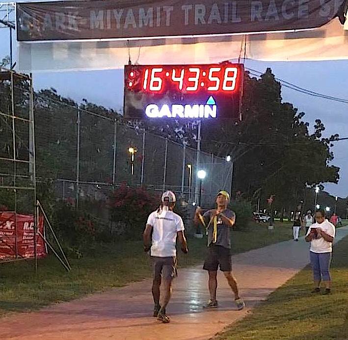
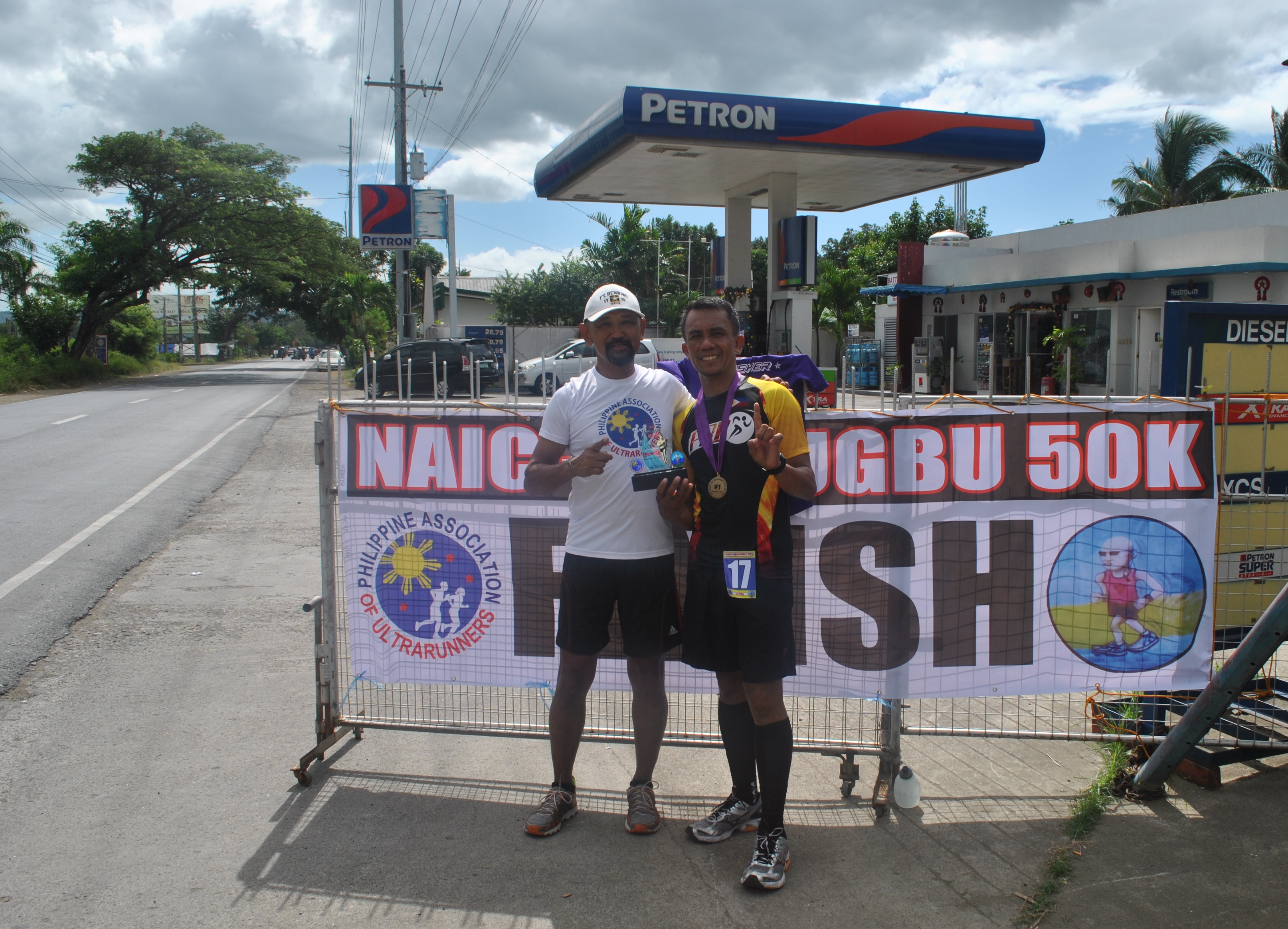
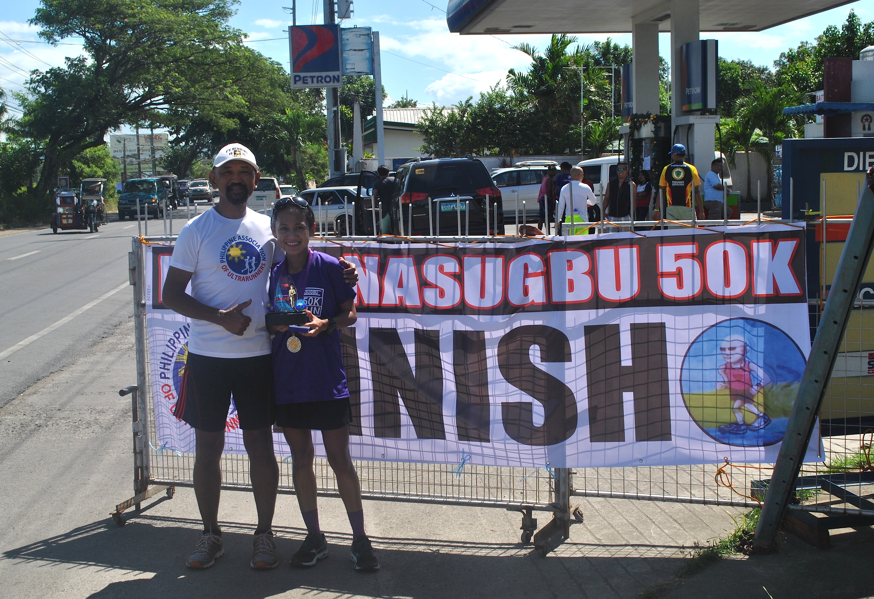
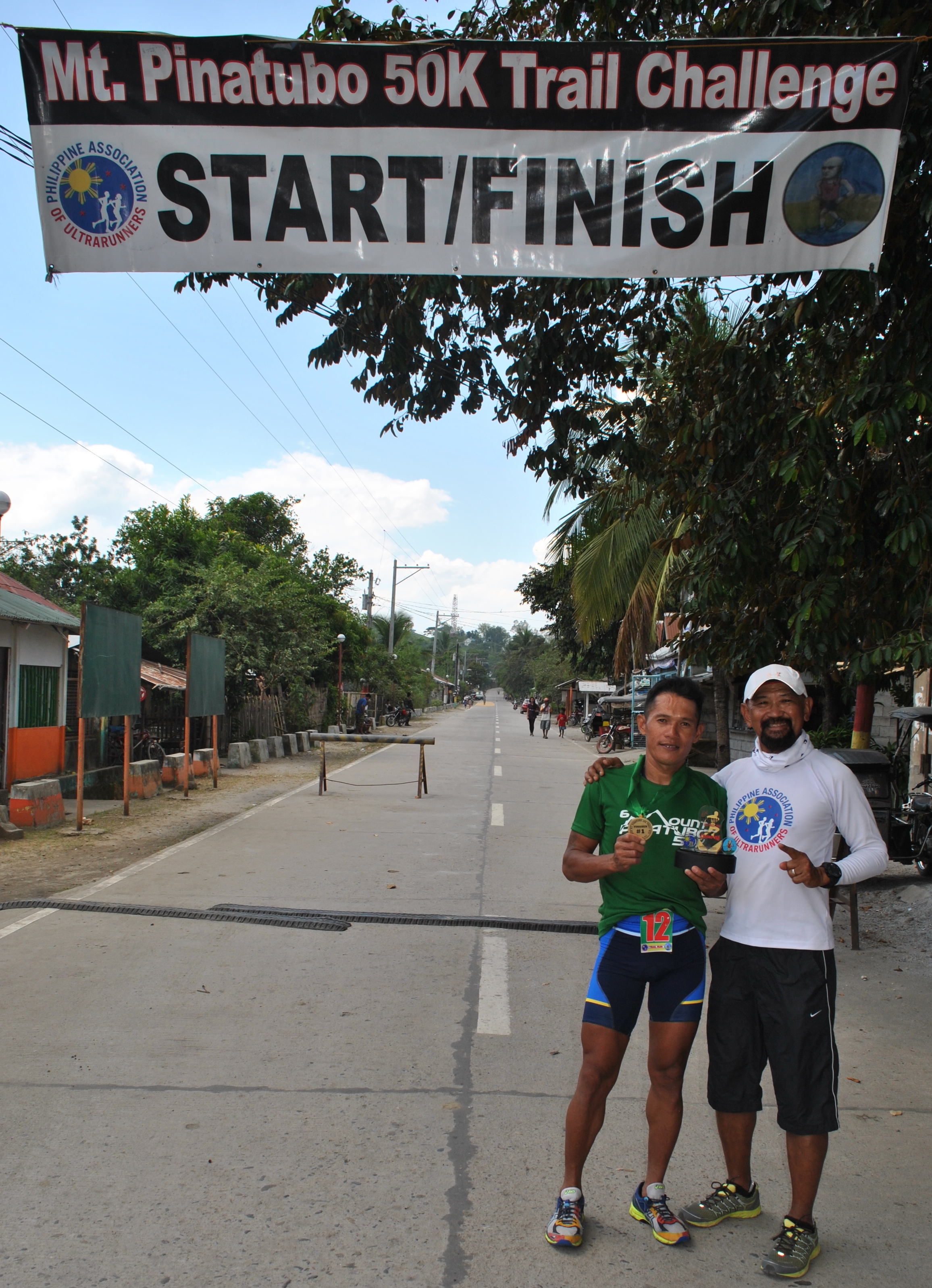
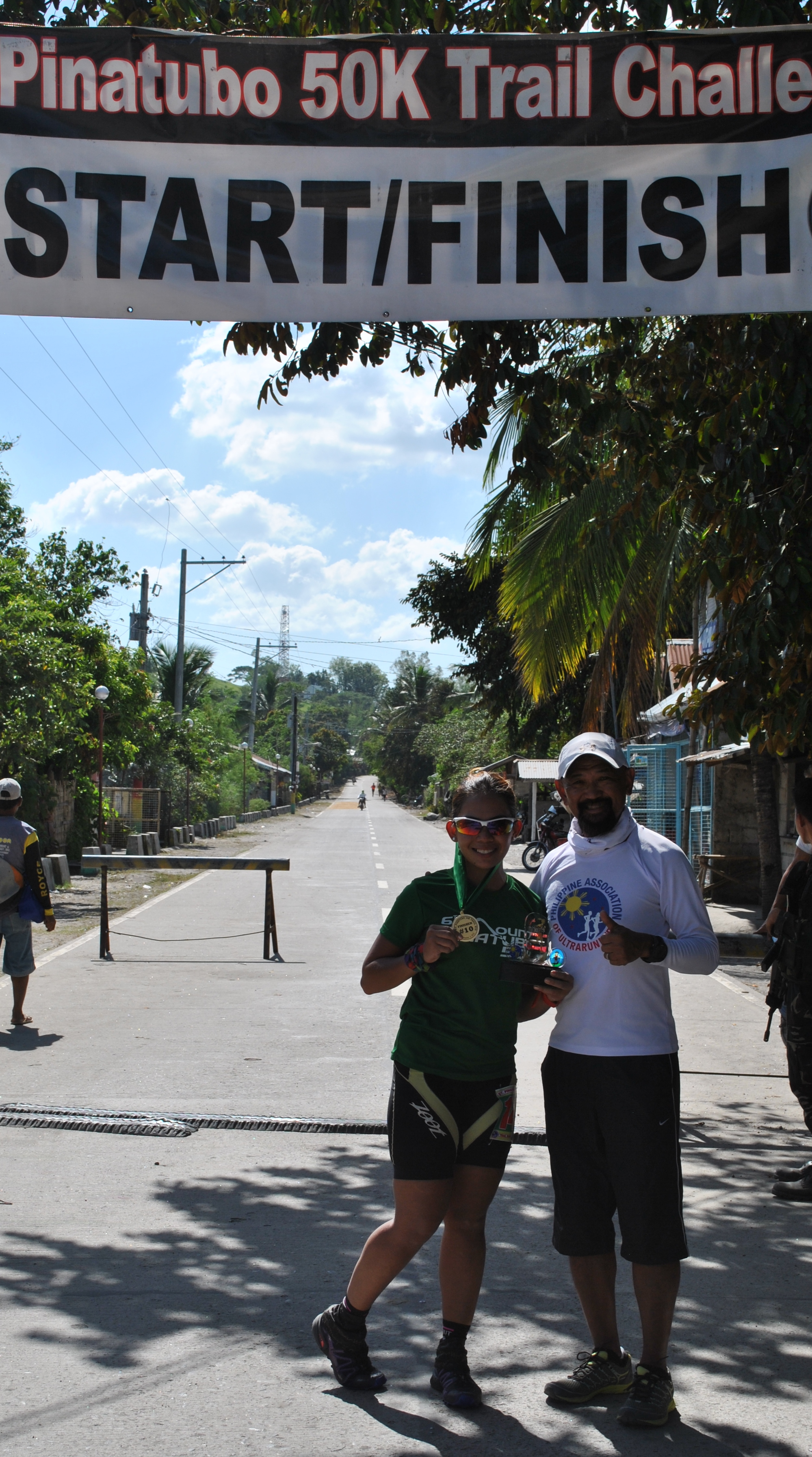
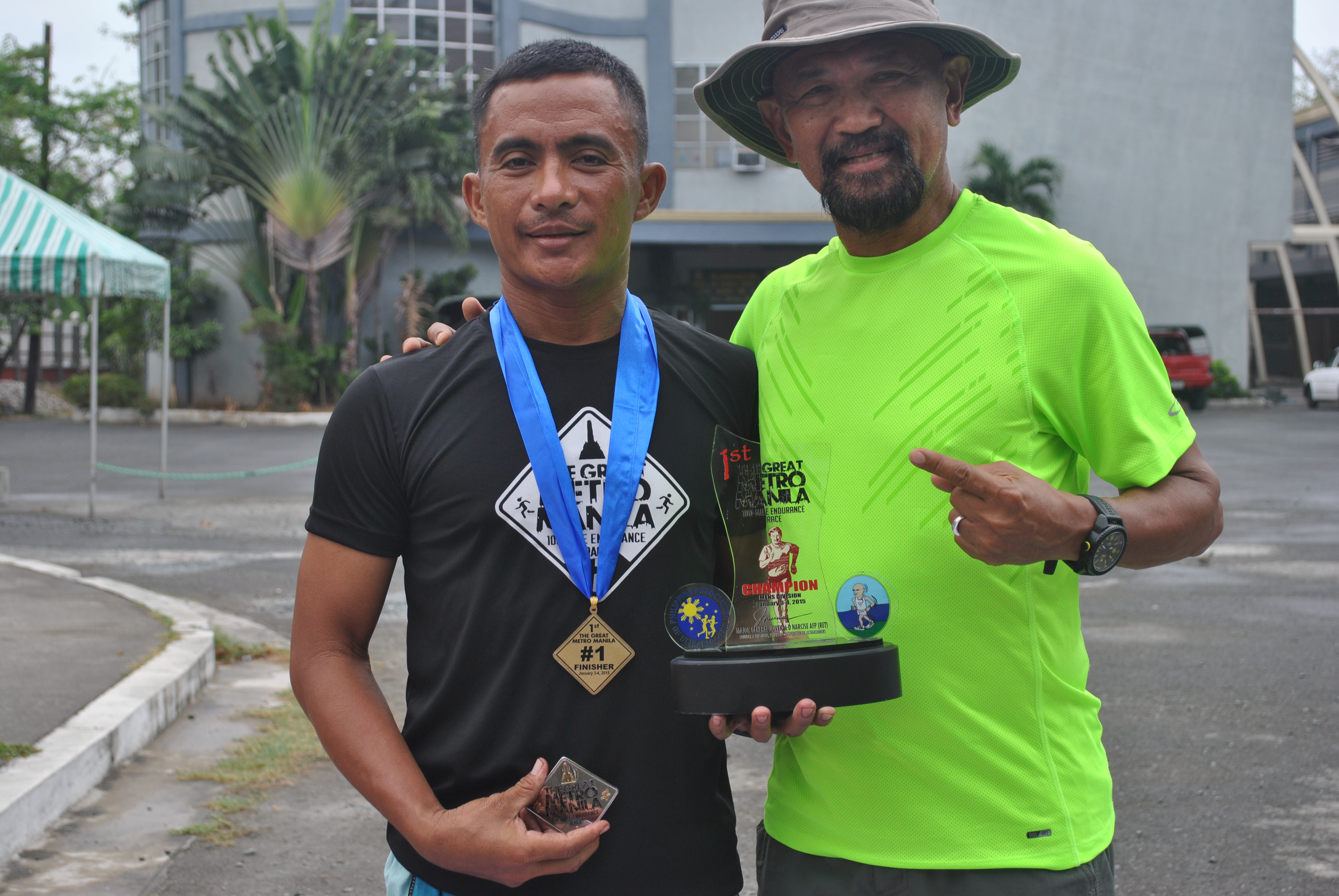
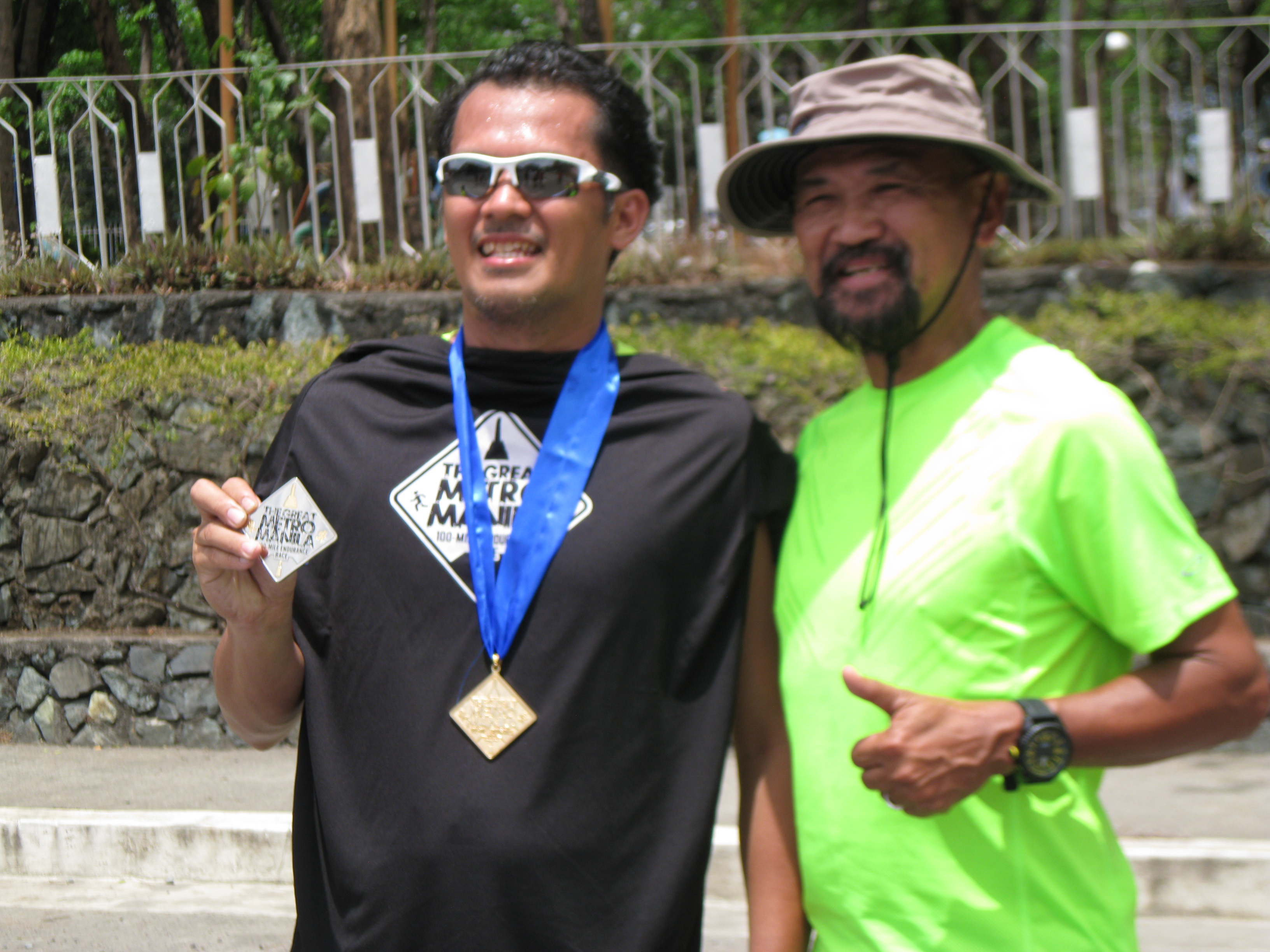
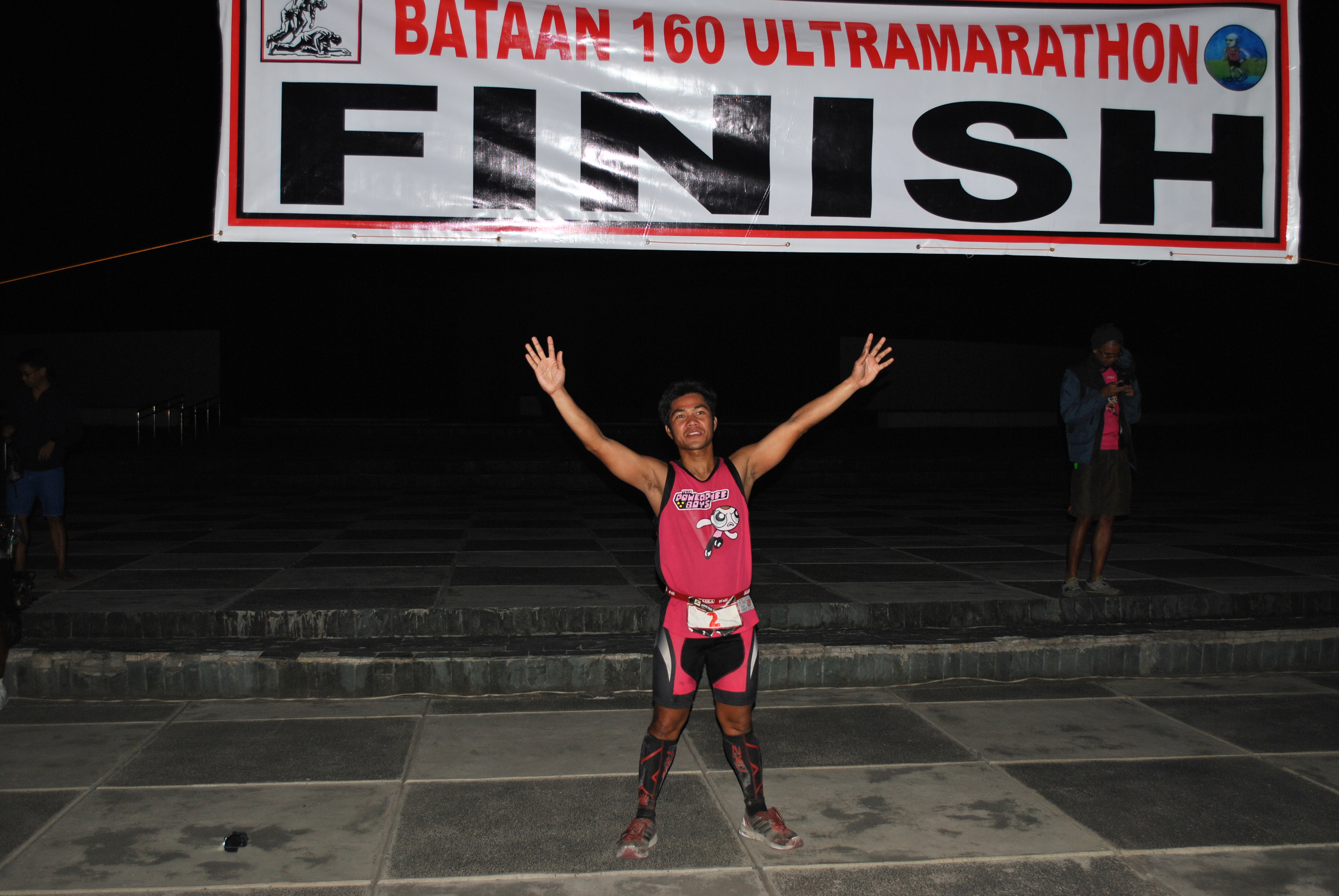
Finally, I finished the race with a time of 16:43:58 hours, faster than the time I had last year (17:50+), with a ranking of #87 among the 132 finishers within the cut-off time of 18 hours. I am still the Oldest Finisher of this race and I have the intention of defending this title for the next two years. Hopefully, I will get the most coveted Baddest Ass Award of this Event.
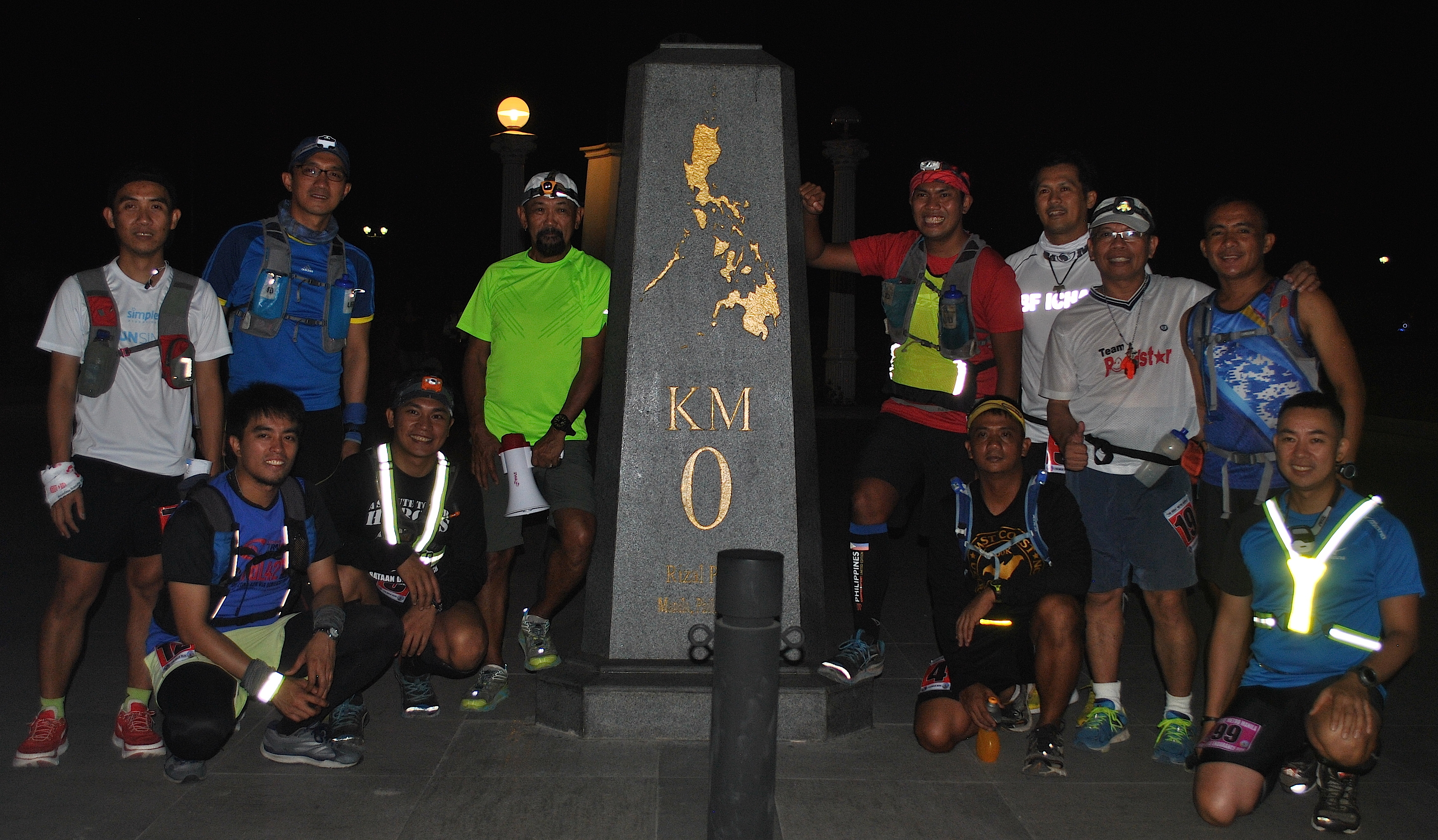
Crossing The Finish Line With RD Jonnifer Lacanlale
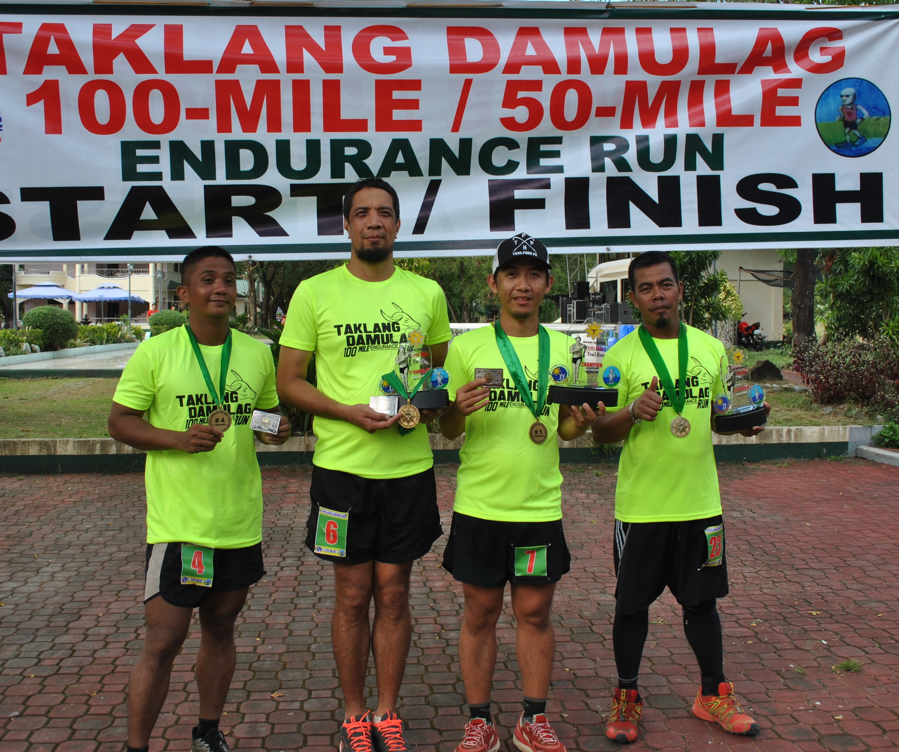
Congratulations To All The Finishers and Thanks to RD Jonnifer Lacanlale and his staff/marshals/volunteers for a successful event.
The training for the next year’s edition will start next week. Keep on running!
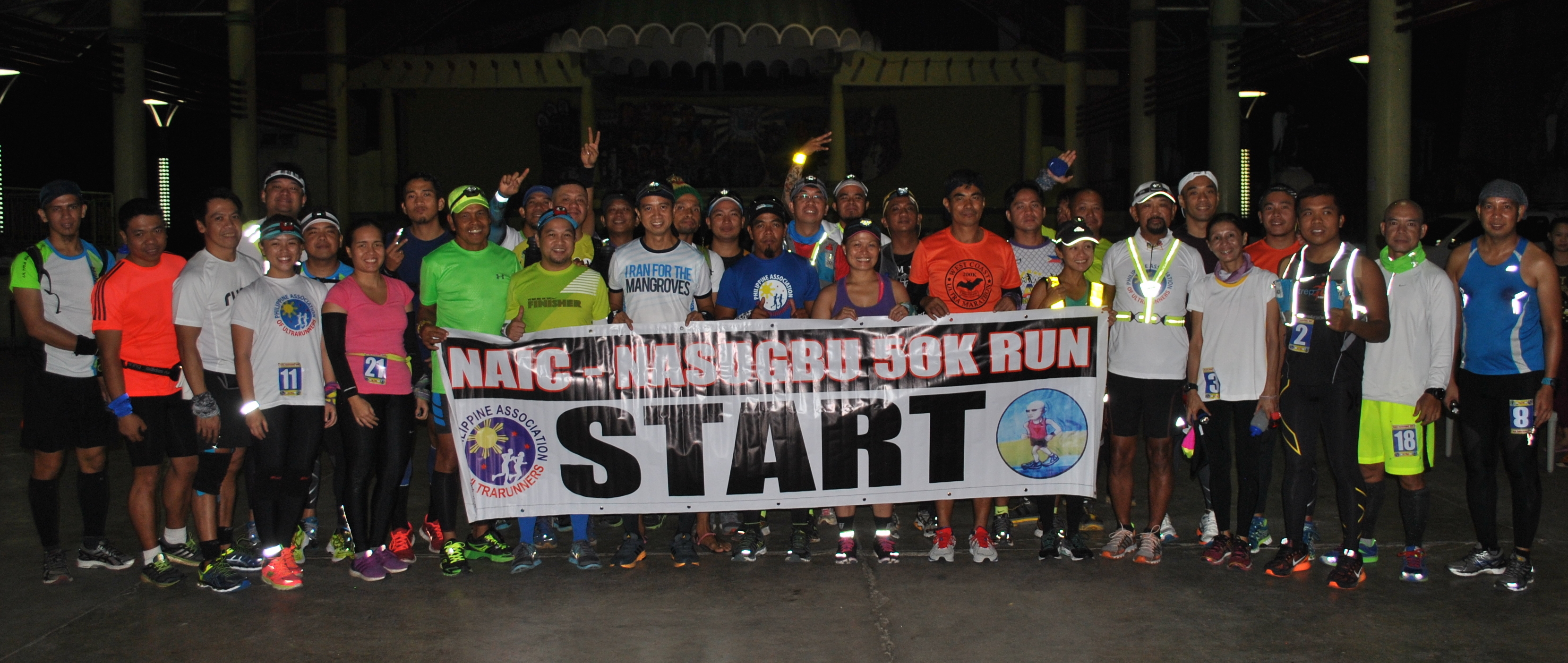
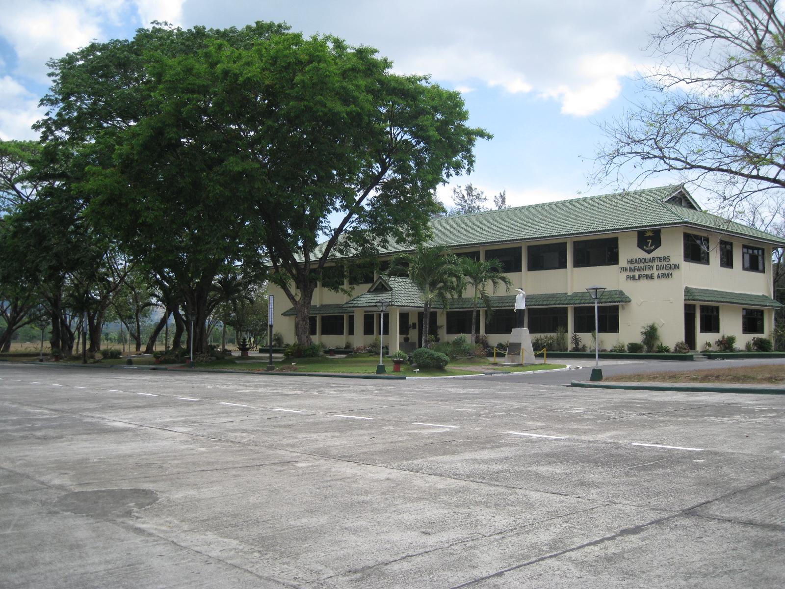
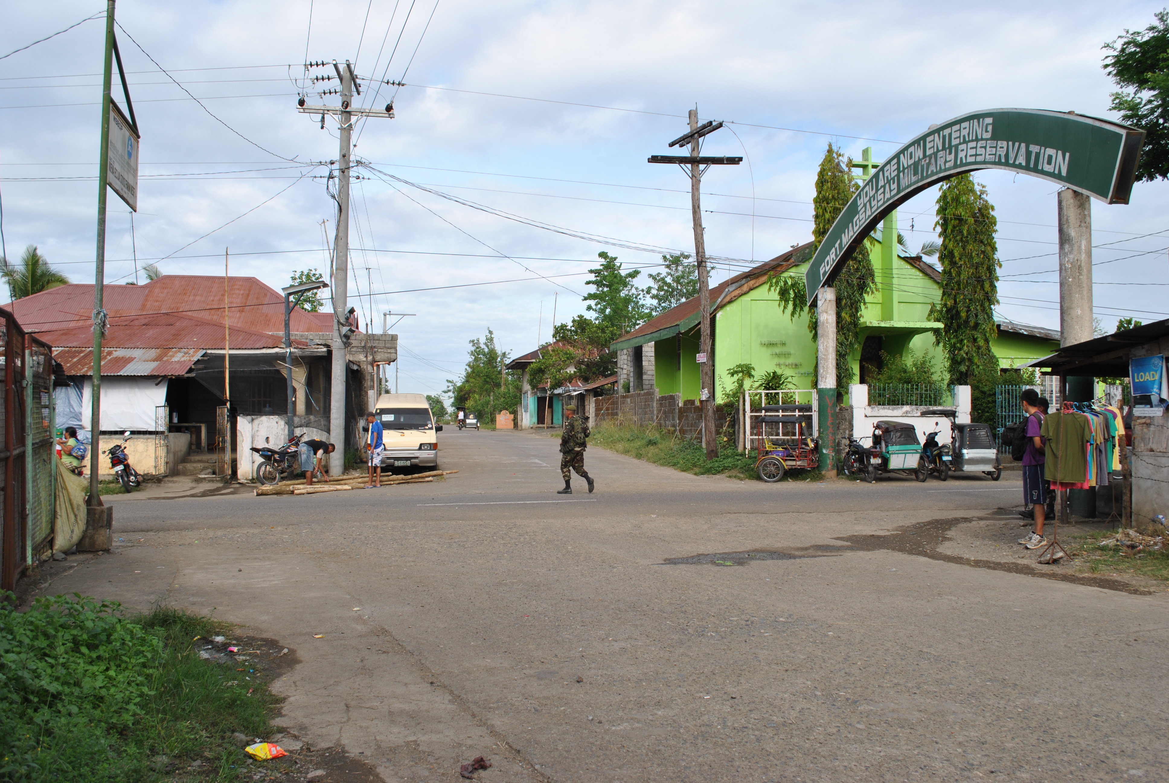
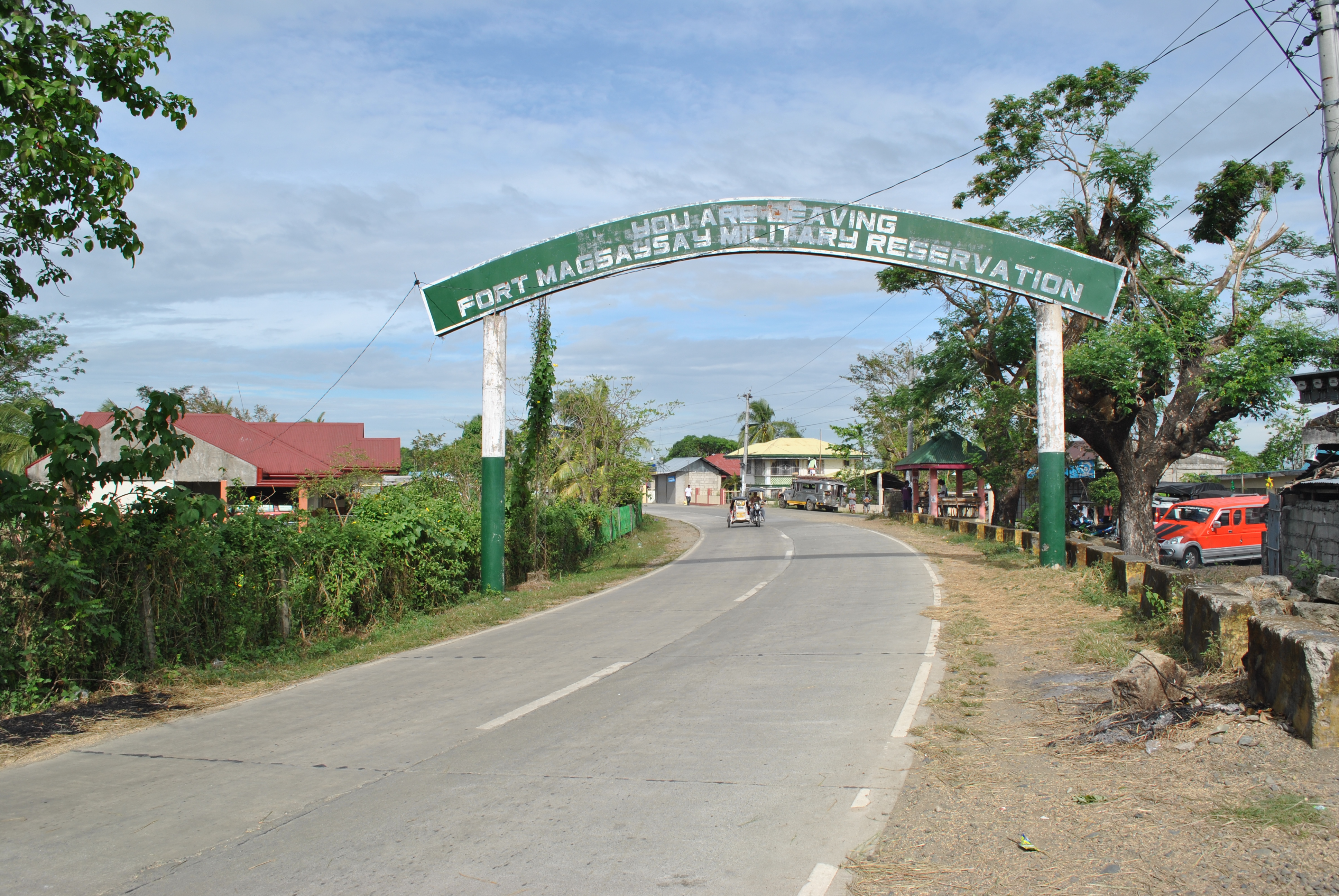
This is the Fourth Edition of this classic PAU Ultra Road Race which starts in front of the Headquarters of the 7th Infantry Division of the Philippine Army inside Fort Magsaysay, Palayan City (Nueva Ecija).
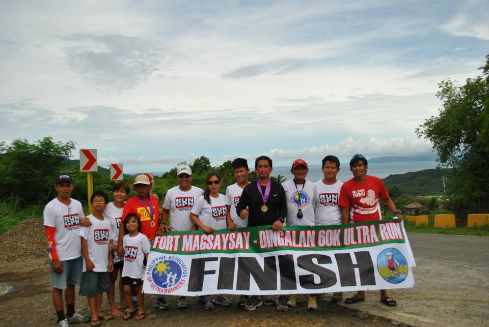
For the past 3 years/editions, the distance was 60 kilometers. However, for this year we will try to add more distance to the event so that the race will finish in one of the available spaces/areas along the coast of Dingalan, Aurora and the Pacific Ocean. Finishers/Runners and their Support Crew will have a chance to dip their tired bodies on the shore/Pacific Ocean. Hopefully, we will be able to complete the distance of 65 Kilometers. Foods will be served to all the Finishers.
Starting Area: Headquarters of the 7th Infantry Division, PA
The race will start at 4:00 AM of August 24, 2014, Sunday, whether there will be only 10 runners. The cut-off time will be 12 hours. Podium Finishers (Top Three For Men & Ladies) will receive individual trophies. All Finishers will receive a Finisher’s T-Shirt; Finisher’s Medal; and a Certificate. Assembly Time and Processing of Runners will start at 3:00 AM on Race Day.
I encourage that all participants should review the rules and regulations of the past editions of this event. Such rules and regulations will be applied to all Road Races being organized by the Bald Runner’s Events/PAU Races. Support Vehicle is not mandatory. Runners who will be on “self-support” mode will be able to take advantage of convenience stores along the route.
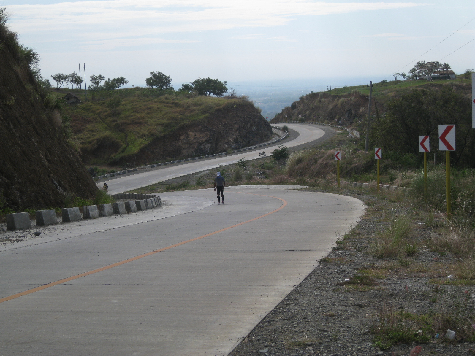
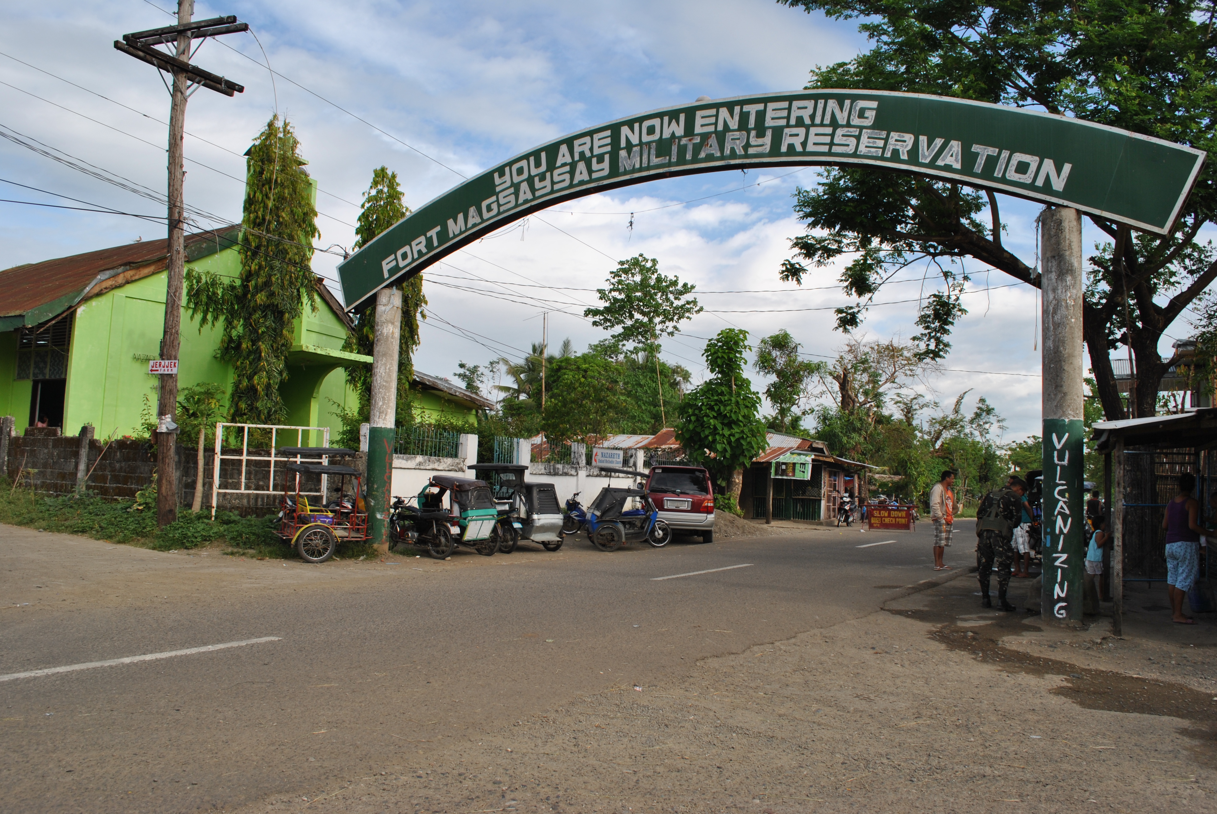
Fort Magsaysay-Laur Highway
If you are new in our races, you have to review the past posts in this blog. If you have any concern or clarification about the conduct or details of the event, you can post a status or comment on the Facebook Event Page of this Ultra Event.
The registration fee is One Thousand Eight Hundred Pesos (P 1,800) per runner. A runner can register by depositing the amount of money to the Bank of the Philippine Island Savings Account #0296-0673-22 in favor of Jovenal Narcise. Please send a photocopy of the Deposit Slip at e-mail address: jovie75@hotmail.com immediately and bring the said Deposit Slip at the Starting Area on Race Day. The Deposit Slip will be used to redeem your Race Packet. Registration is now open and it will end on August 22, 2014, Friday.
This road race is highly recommended to those ultra runners who will have their first taste and experience towards the 2015 Bataan Death March 102K Ultra Marathon Race (BDM 102).
Good luck and see you at the starting line!
Laur To Gabaldon: To The MountainsFinisher/s and their Support Crew/Team
Race Route Description: Taklang Damulag 100-Mile/50-Mile Endurance Run (TD 100/50)
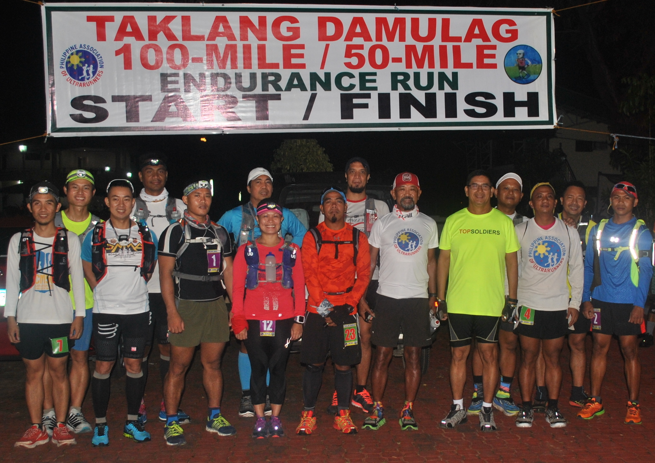
1. The race starts at the vicinity of the Special Operations Command (SOCOM), Fort Magsaysay, Palayan City (Nueva Ecija). The SOCOM Headquarters is located at the Abundo Area Complex inside Fort Magsaysay, the largest Military Camp/Reservation Area of the Philippine Army. The race starts at 5:00 AM of Saturday, December 14, 2013 together with the Taklang Damulag 50-Mile Endurance Run.
2. This is a solo race. The cut-off time for the 100-Mile Race is 32 hours. The cut-off time for the 50-Mile Race is 16 hours.
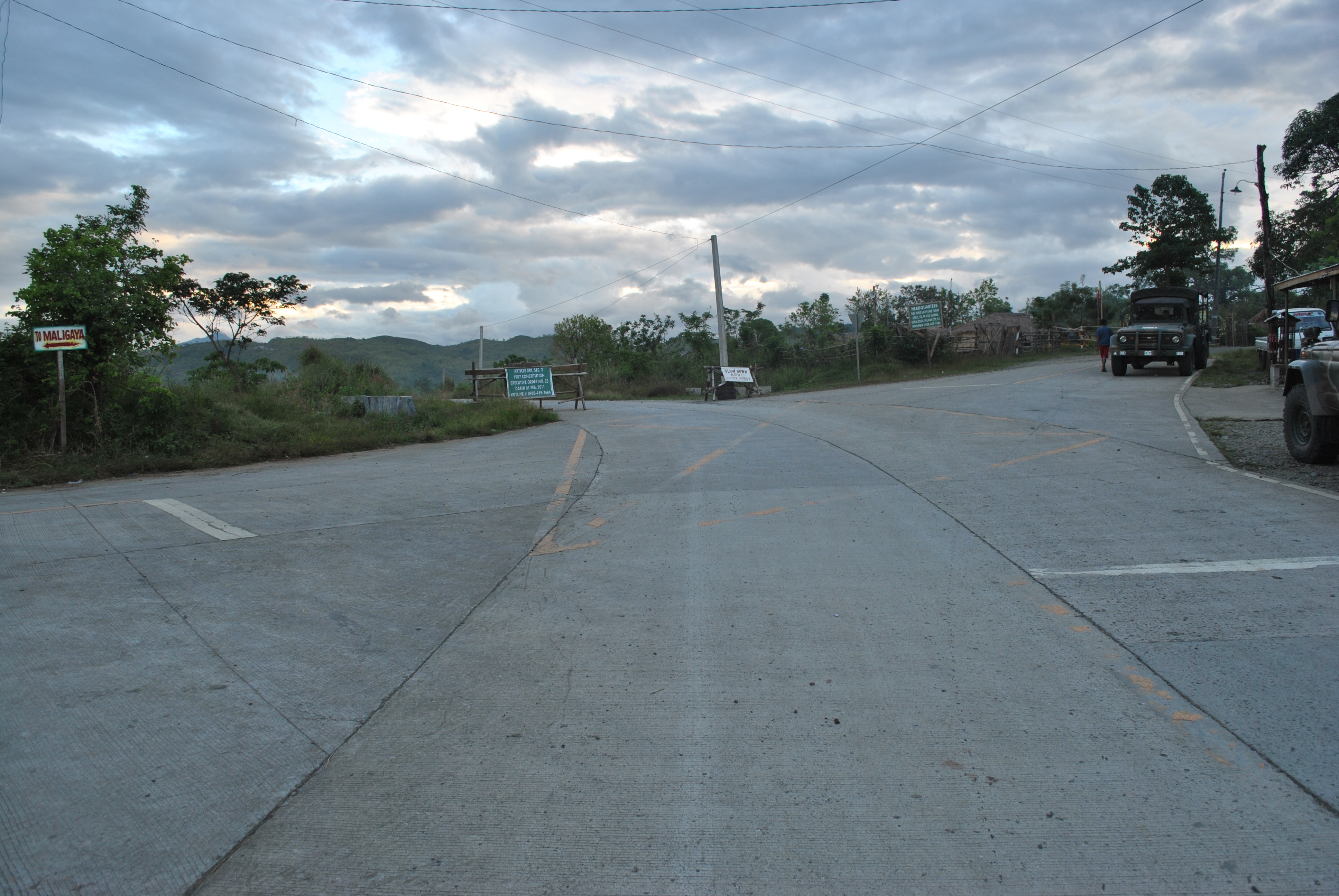
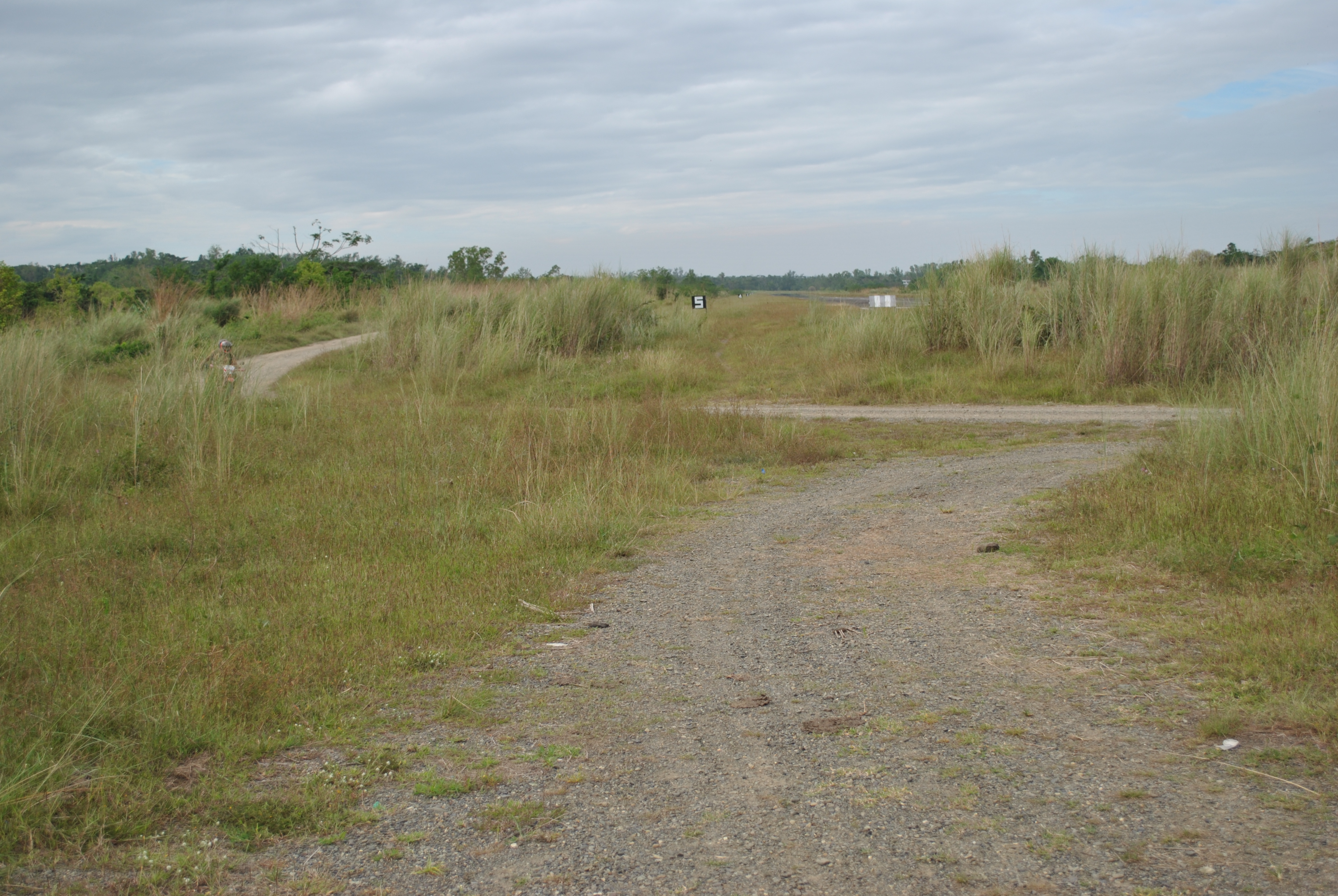
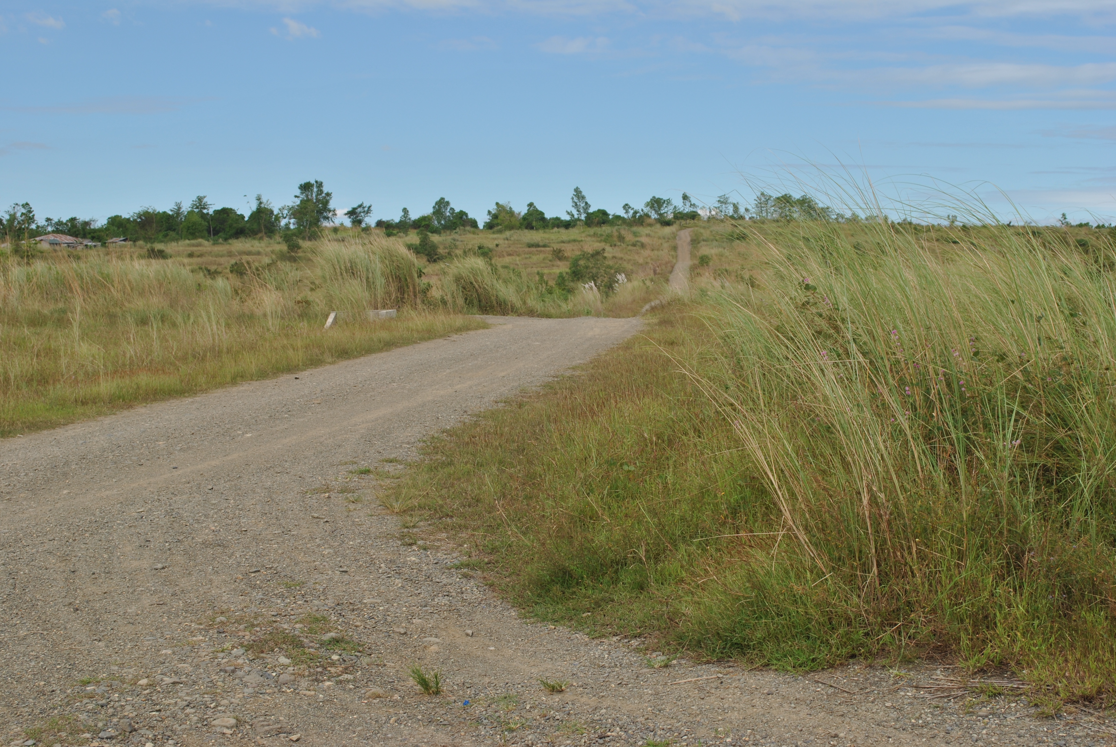
3. From the starting line, runners will proceed towards an east direction to a dirt road which is parallel to the Fort Magsaysay Airstrip. The airstrip is located on the right side of the runners. This dirt road has a lot of potholes and uneven portions. Runners must be able to have their headlights/handheld flashlight on this part of the course since it is still dark at 5:00 AM.
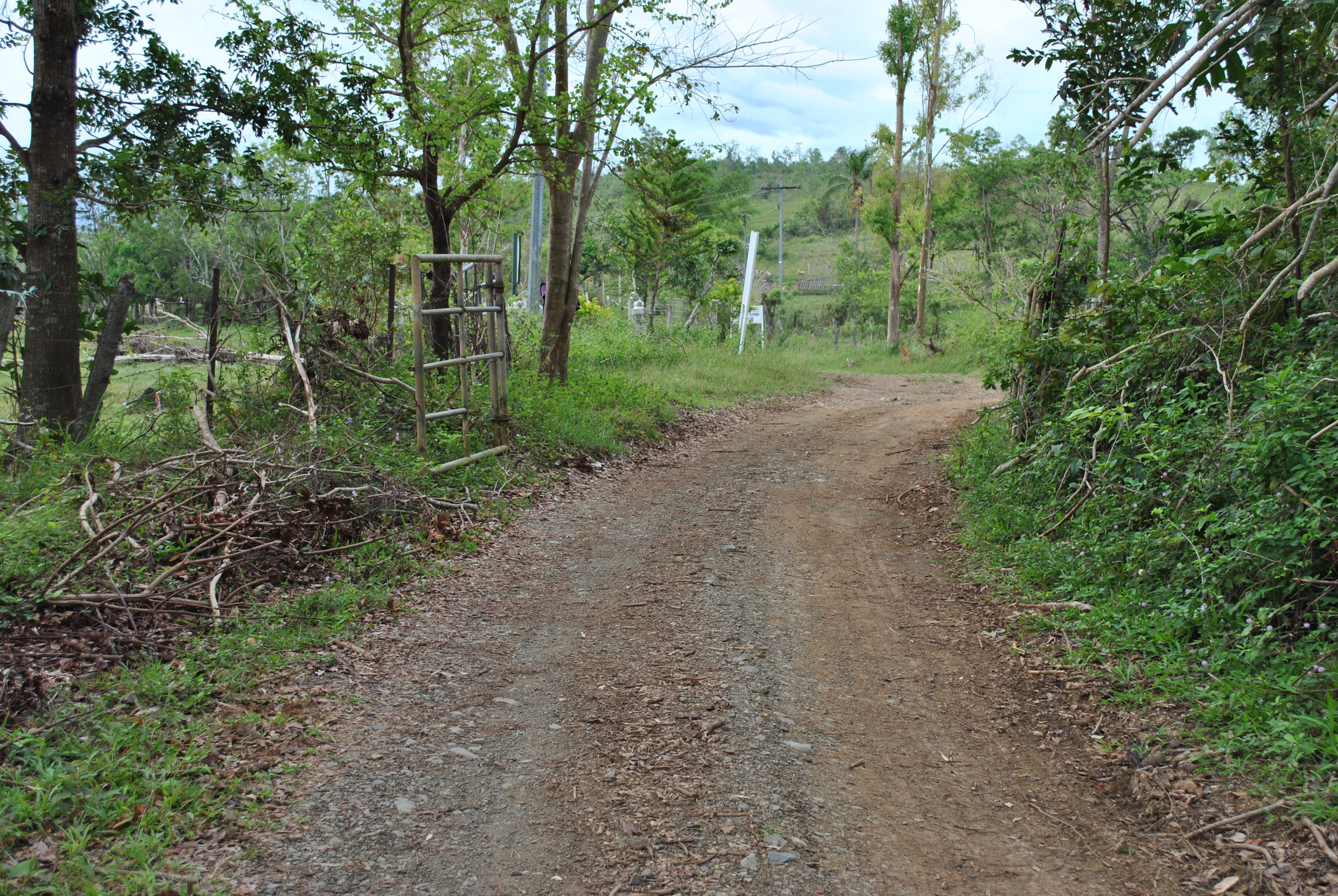
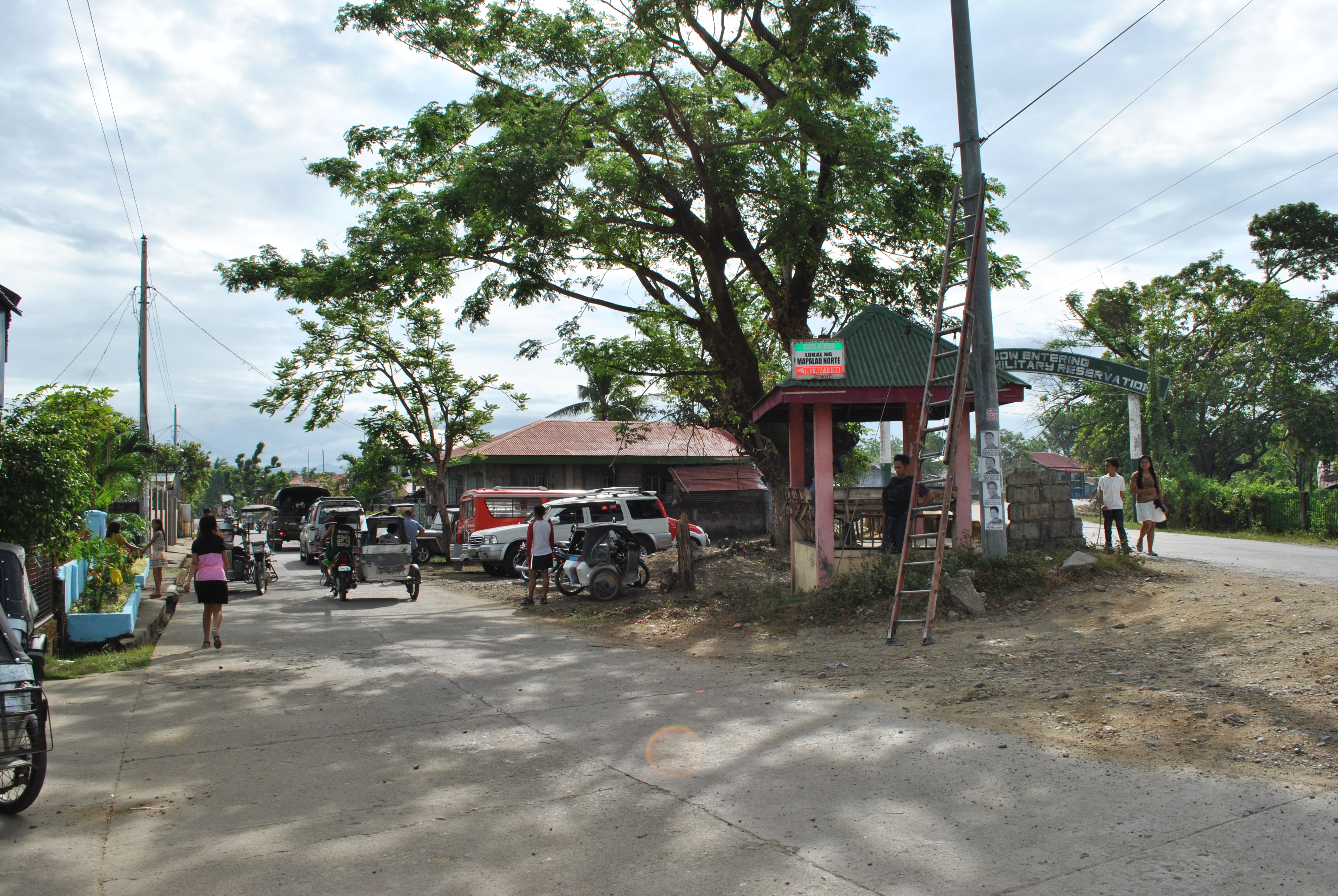
4. After almost 500 meters, runners have to TURN LEFT upon reaching an intersection. It is still a dirt road which leads the runners to the newly-constructed Fort Magsaysay-Laur Road after getting out from the Gate of the Camp. This dirt road goes down and slightly uphill towards the Gate. The distance of this road is about 700-800 meters.
Dirt Road To The Fort Magsaysay-Laur Highway
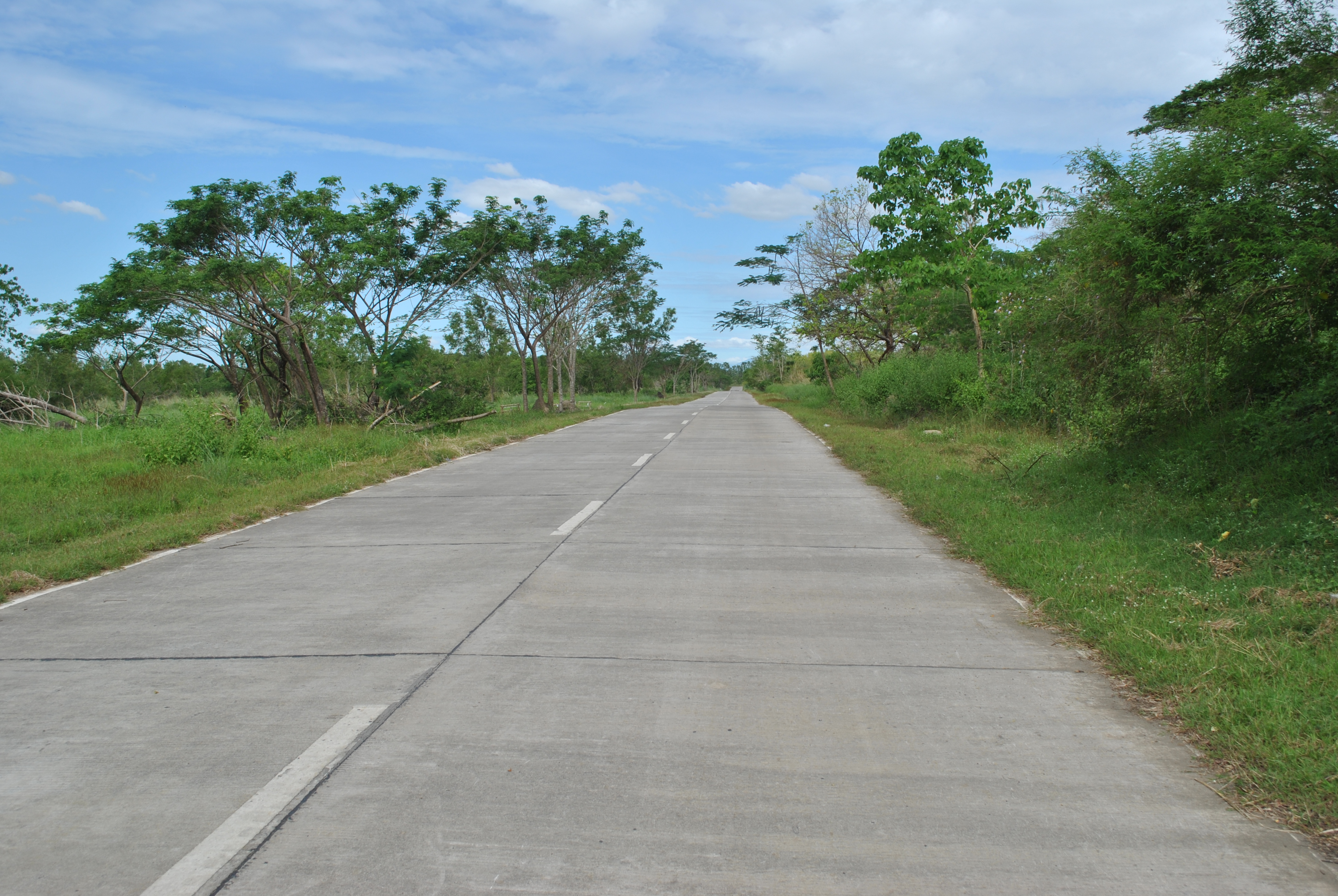
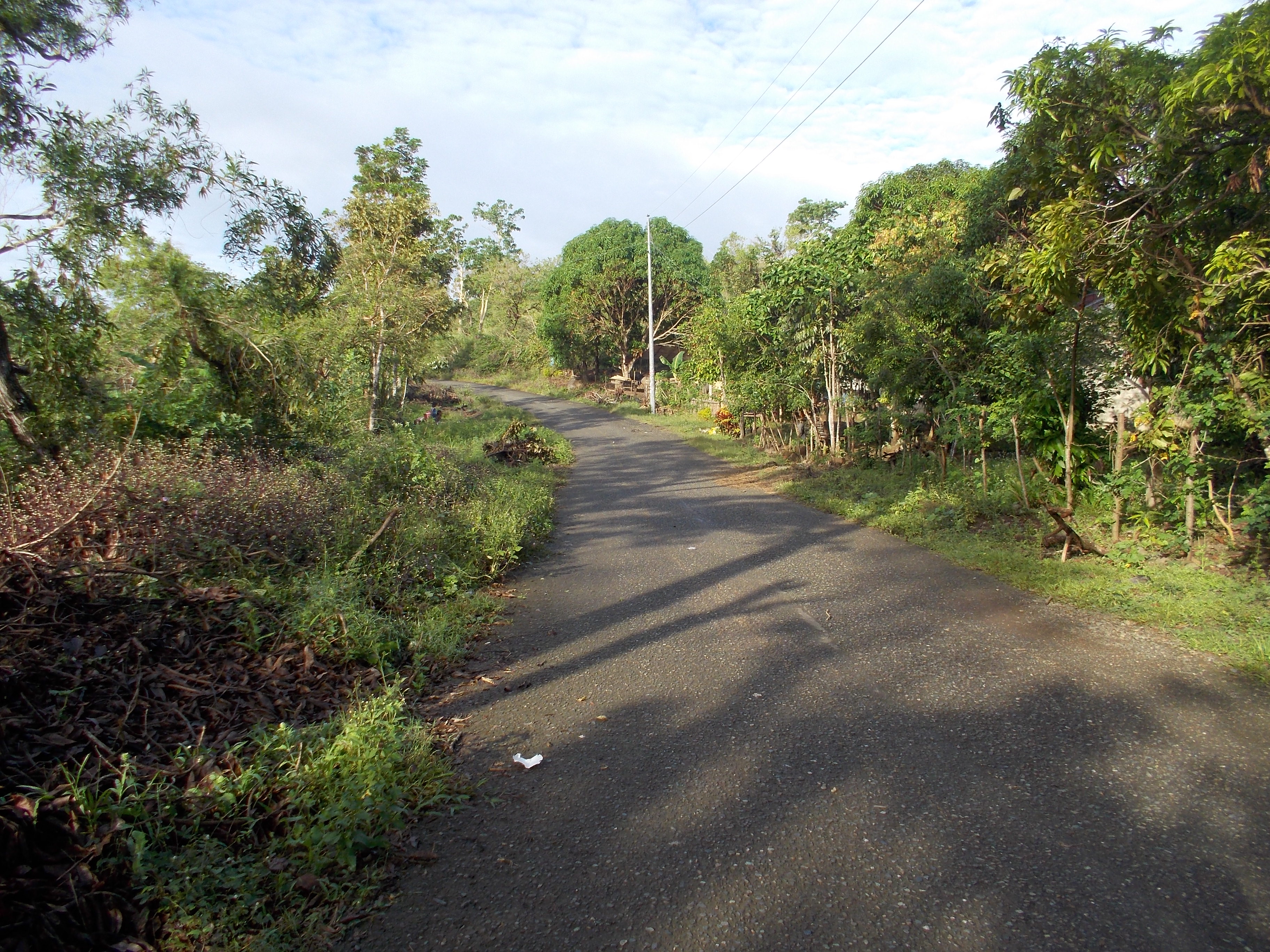
5. Runners shall TURN RIGHT on the paved/cemented Sta Rosa-Fort Magasaysay-Laur Road. This is the same road on the first 3K of the Fort Magsaysay To Dingalan 65K Ultra Marathon Race.
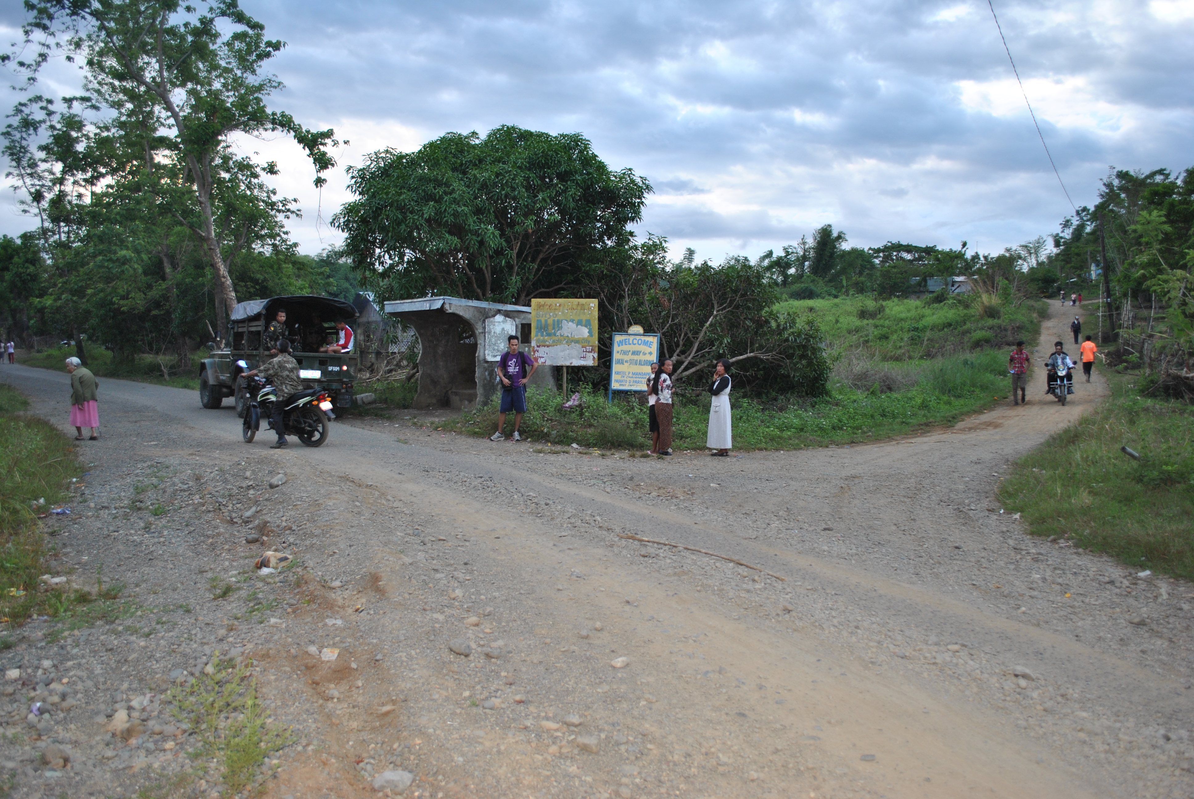
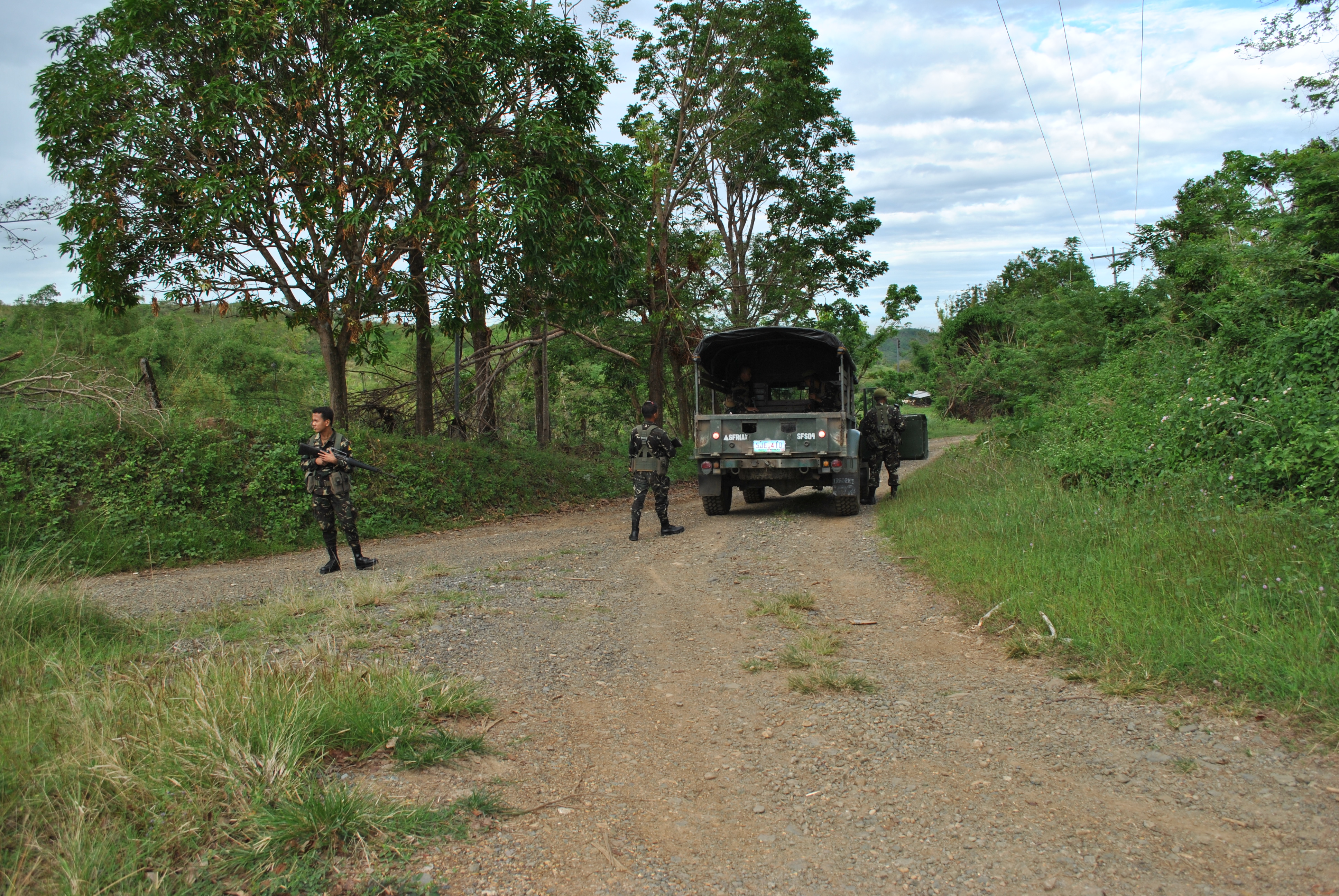
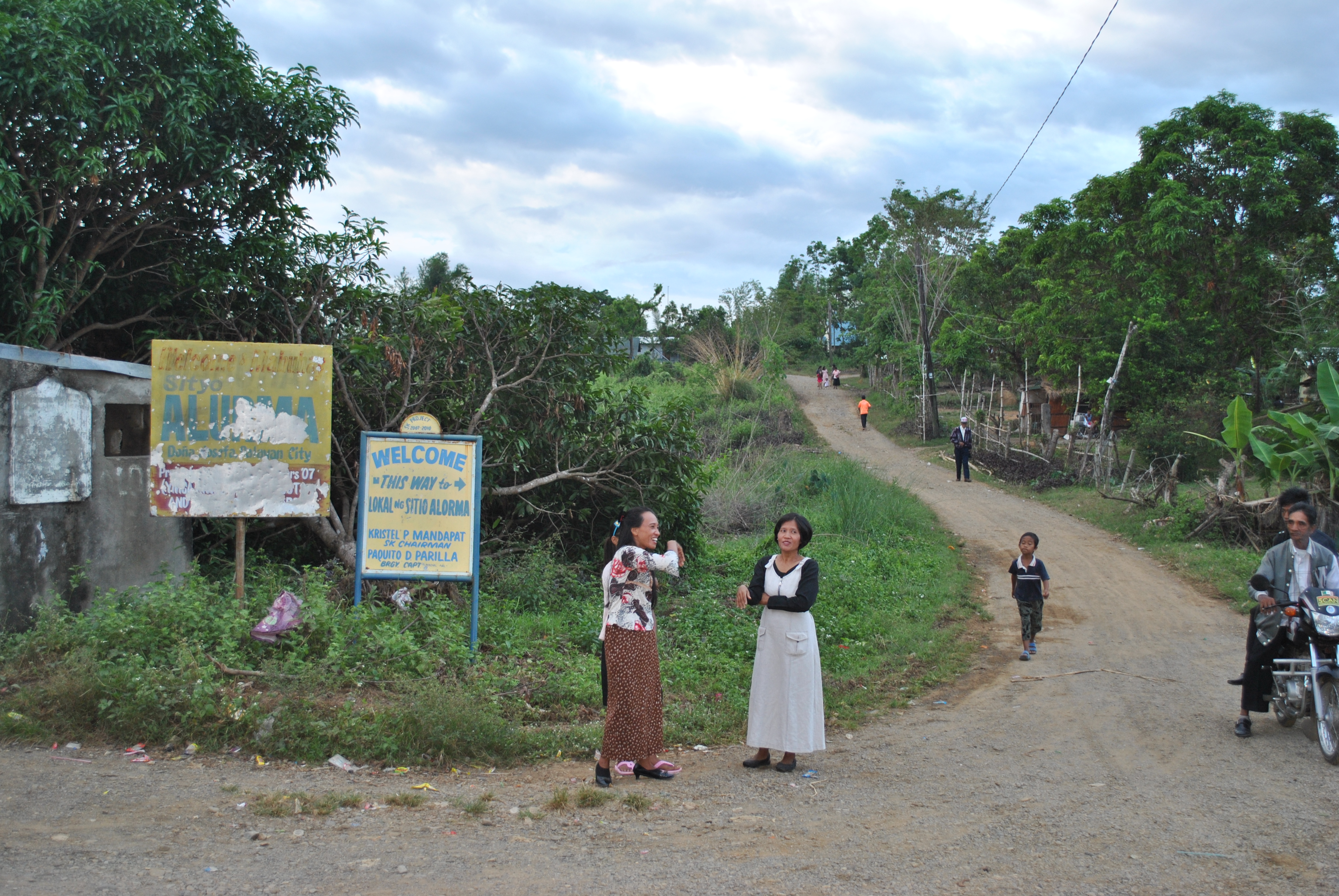
6. There will be an INTERSECTION after running for almost 2 kilometers along the Sta Rosa-Fort Magsaysay-Laur Road. There is a Detachment and Military Checkpoint on this intersection. Runners will have to TURN RIGHT on this intersection which leads to Barangay Dona (Donya) Josefa. Runners will be able to pass on the intersection of Sitio ALORMA and Sitio BACCAO. Runners will have to follow the asphalted road up to Barangay Dona Josefa.
TURN RIGHT Towards Barangay Dona JosefaINTERSECTION @ Sitio ALORMA (Right Side of the Road)SITIO BACCAO Intersection (On the Right Side of the Road)
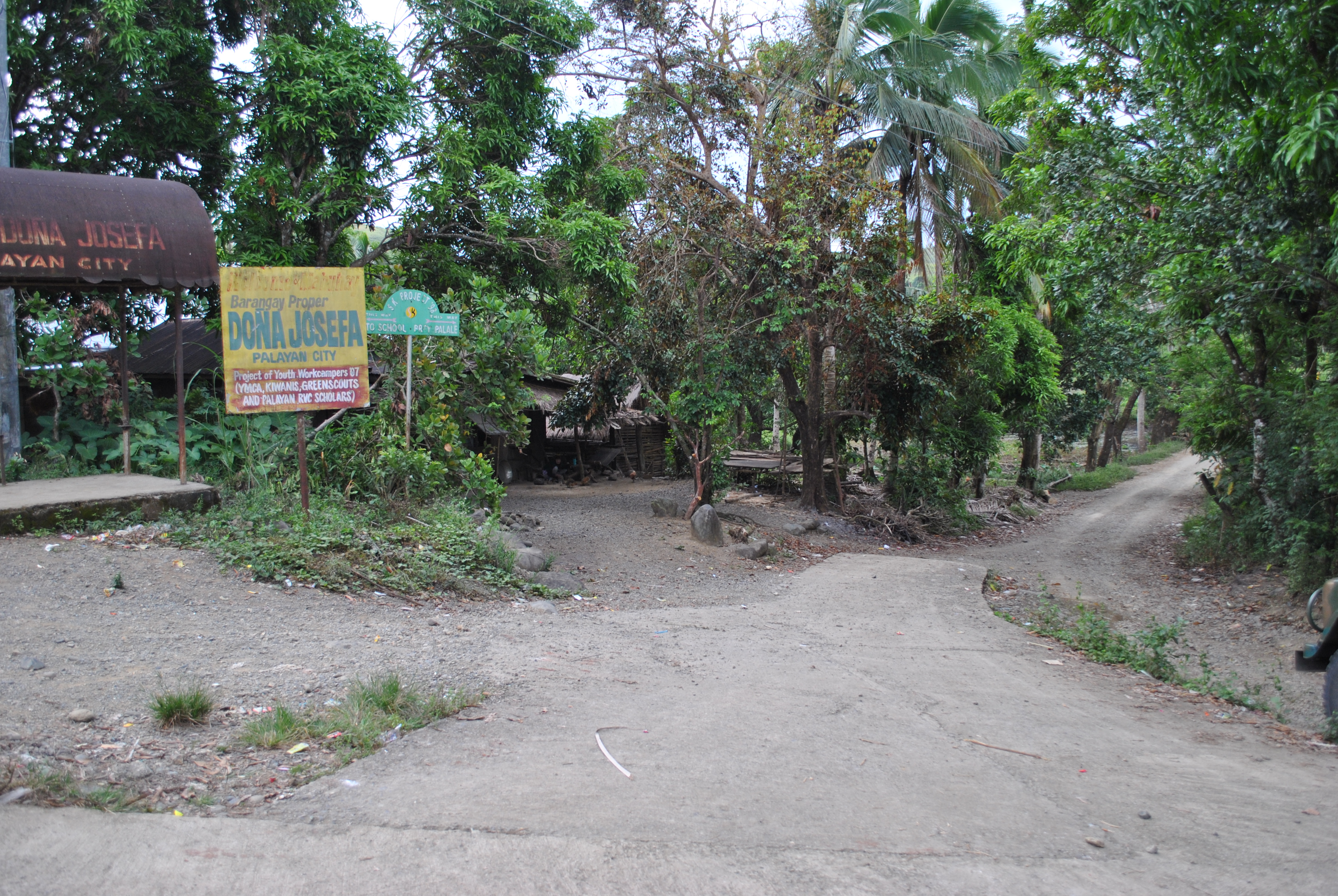
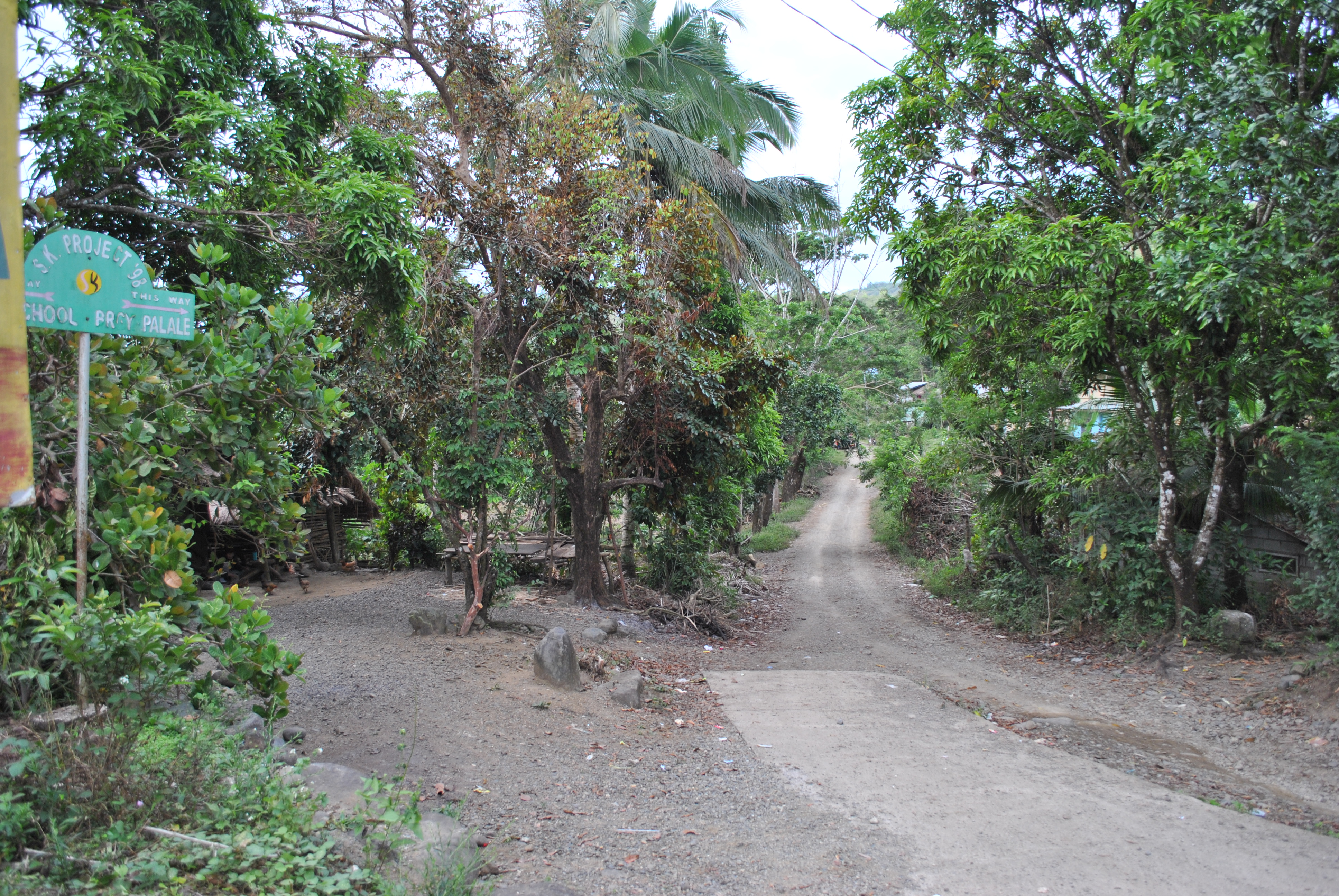
7. Once the runners will reach the center of Barangay Dona Josefa, turn RIGHT and just follow the dirt road. Do NOT take the road towards the LEFT Direction as it ends at the Dona Josefa Elementary School.
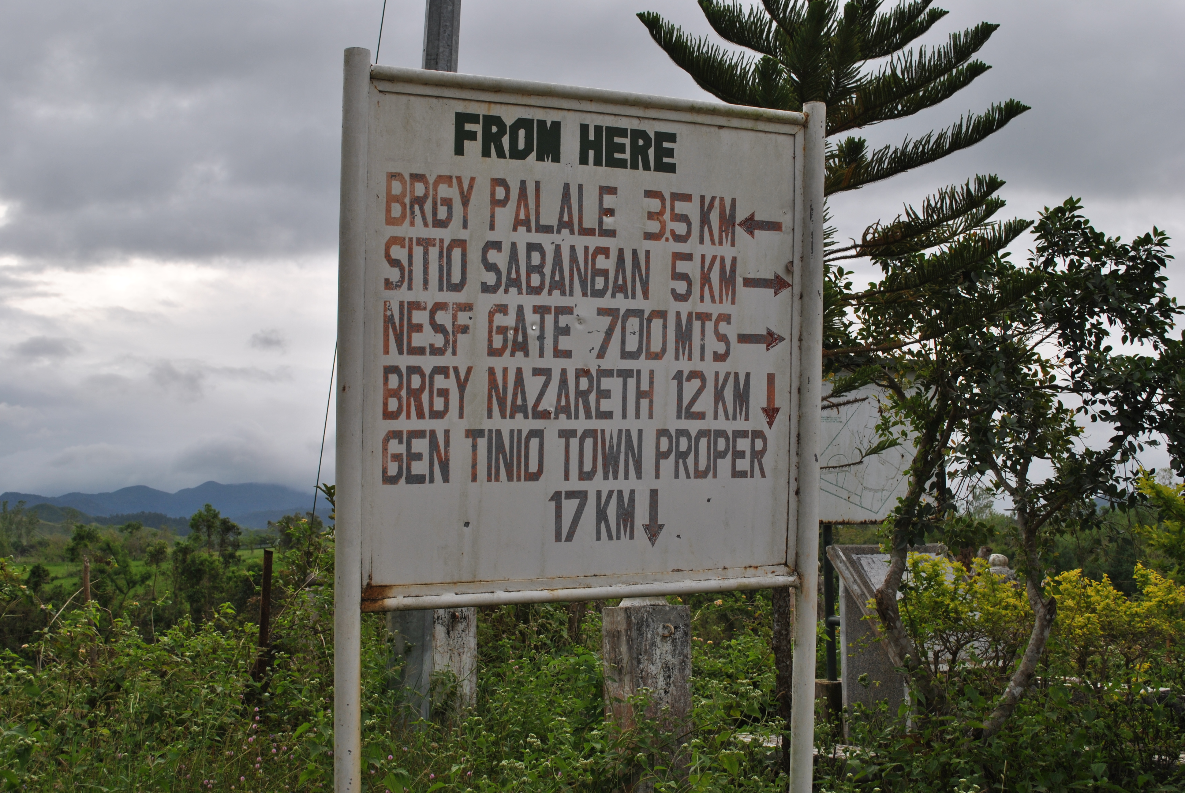
@ BARANGAY Dona JOSEFATURN RIGHT TO BRGY PALALE
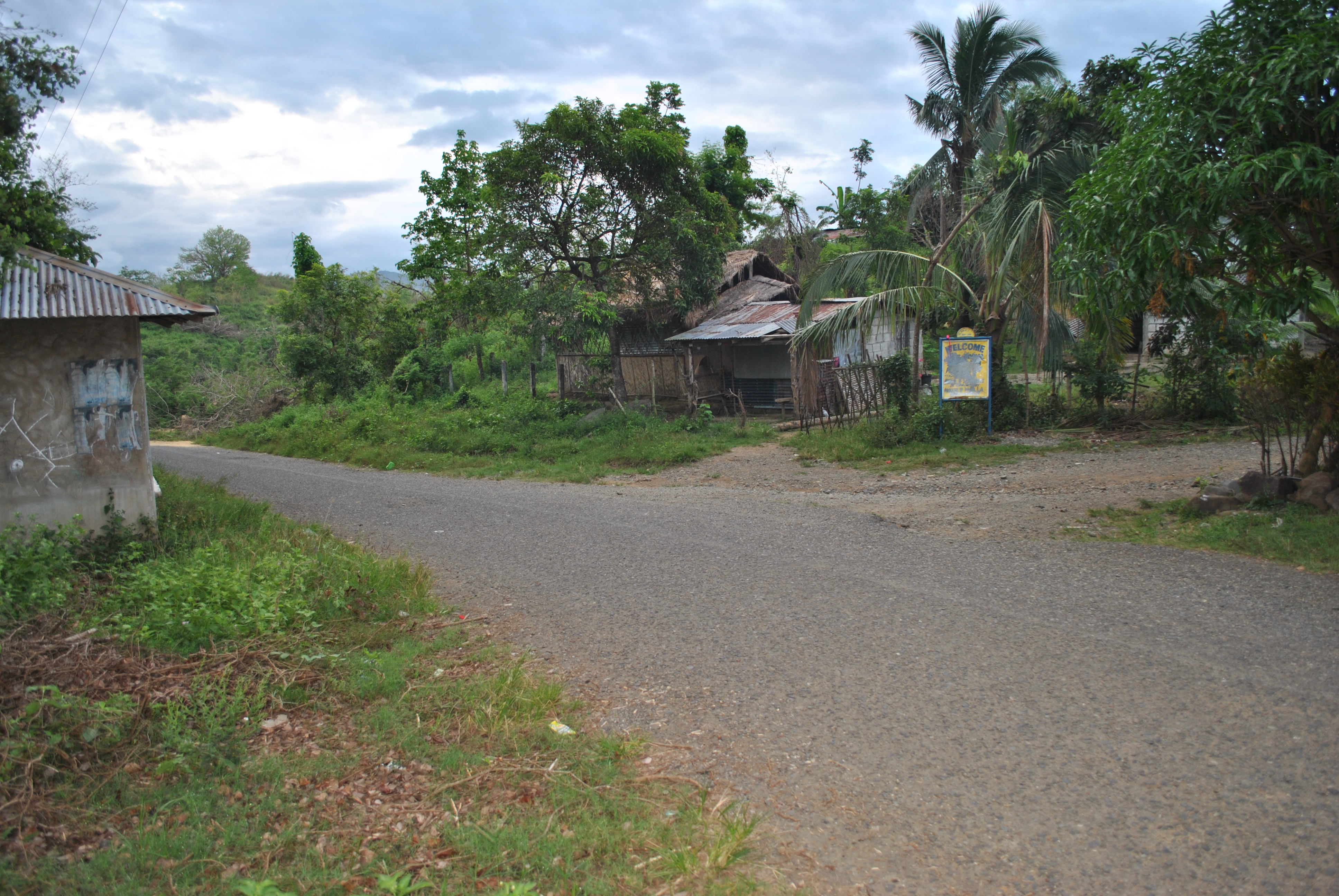
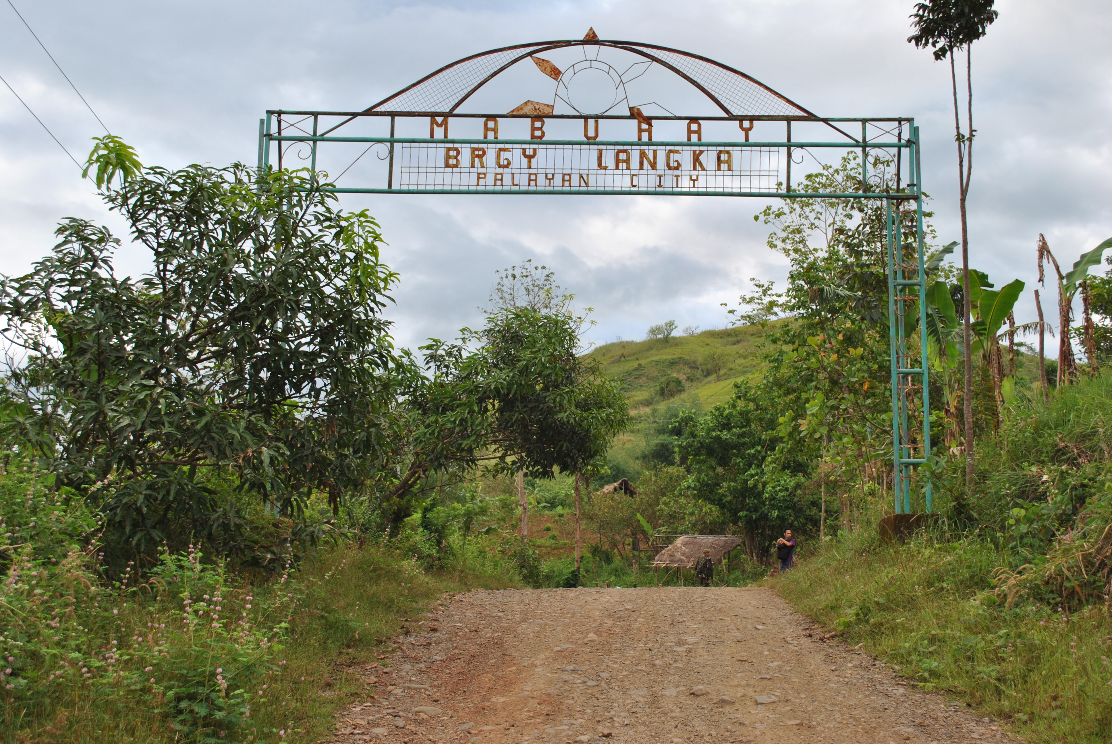
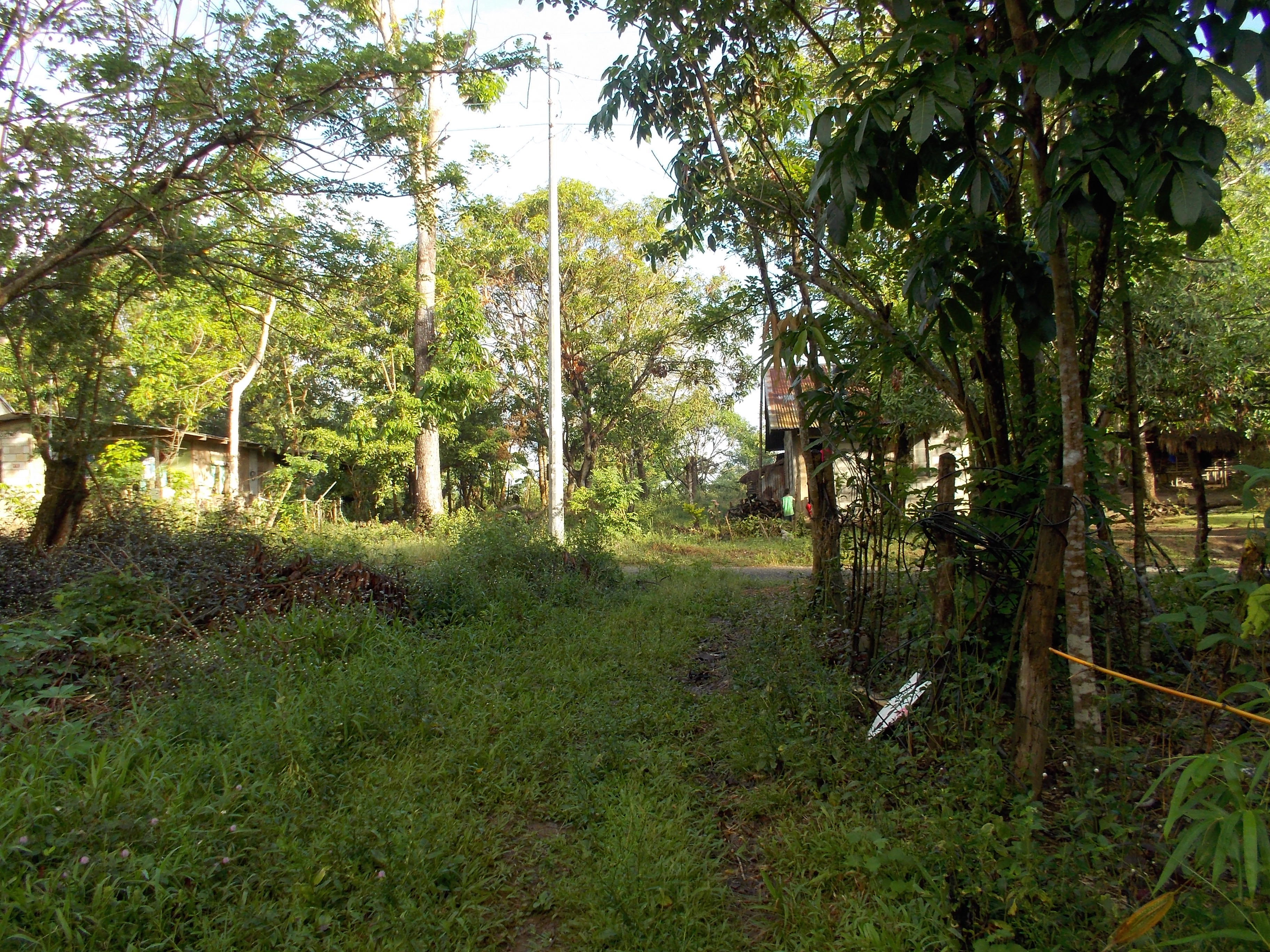
8. Runners will reach the first Spillway and after passing the Spillway, it will be an uphill climb and a steel arc will be seen with the markings “WELCOME TO SITIO LANGKA”.
First Spillway Before Barangay Langka Welcome ArcBarangay LANGKA Welcome Arc
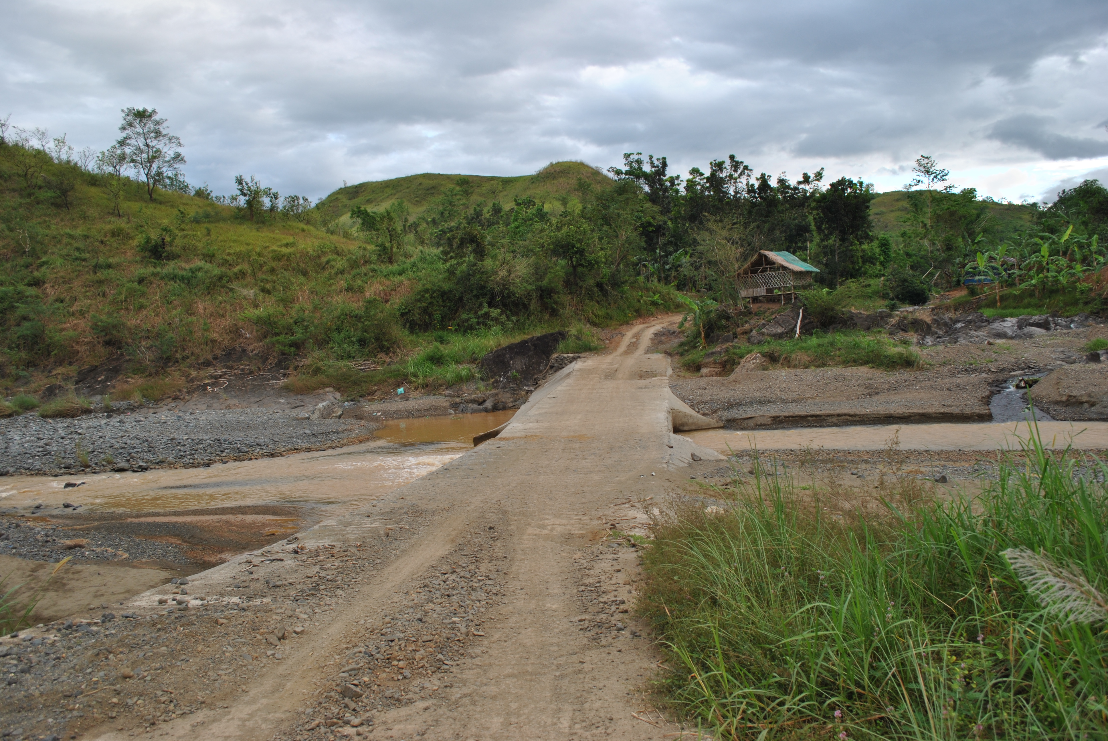
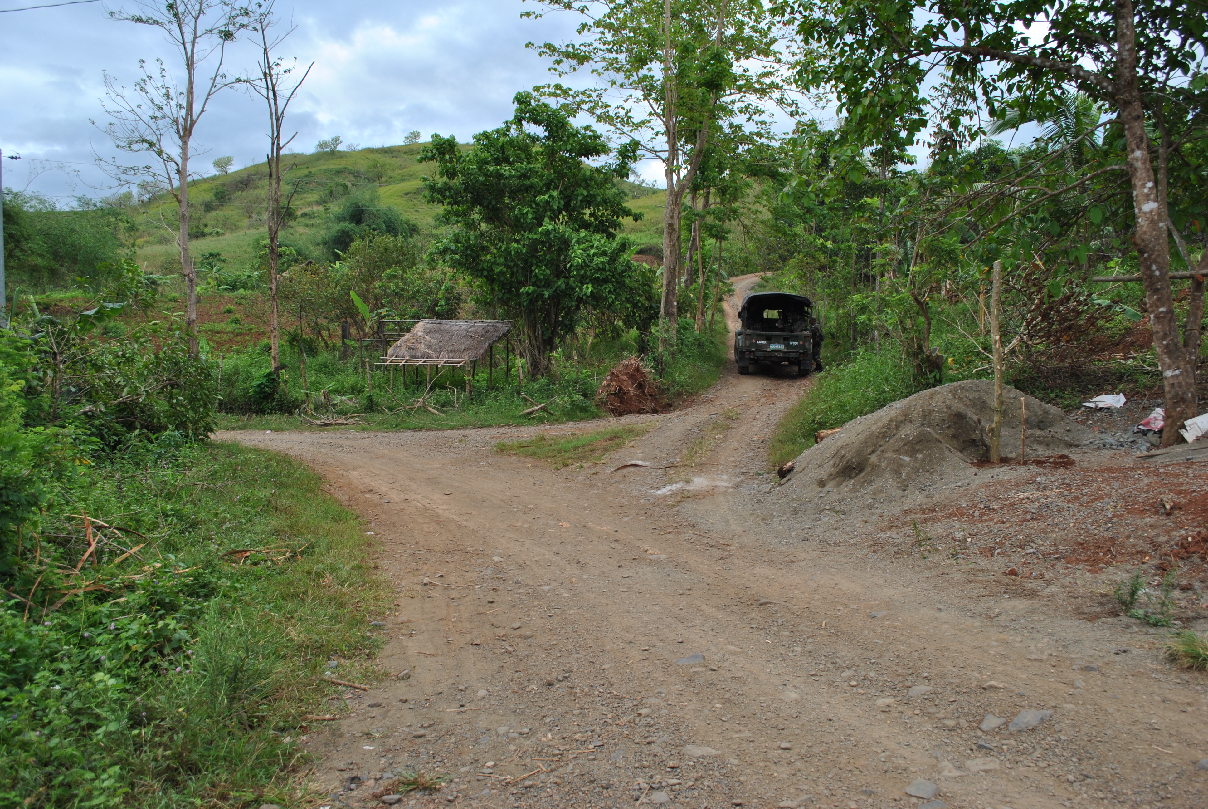
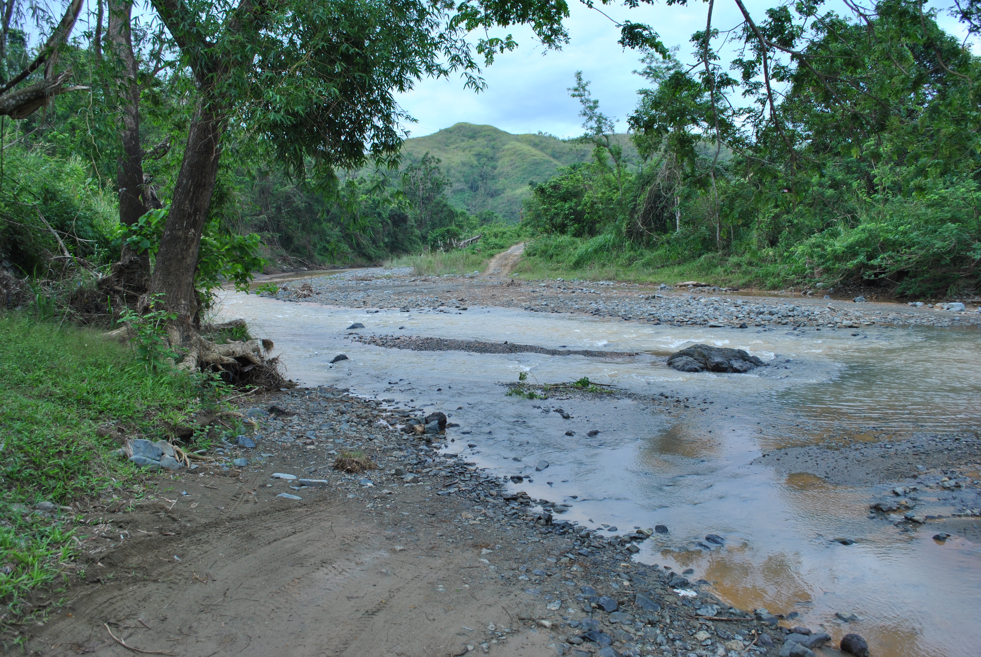
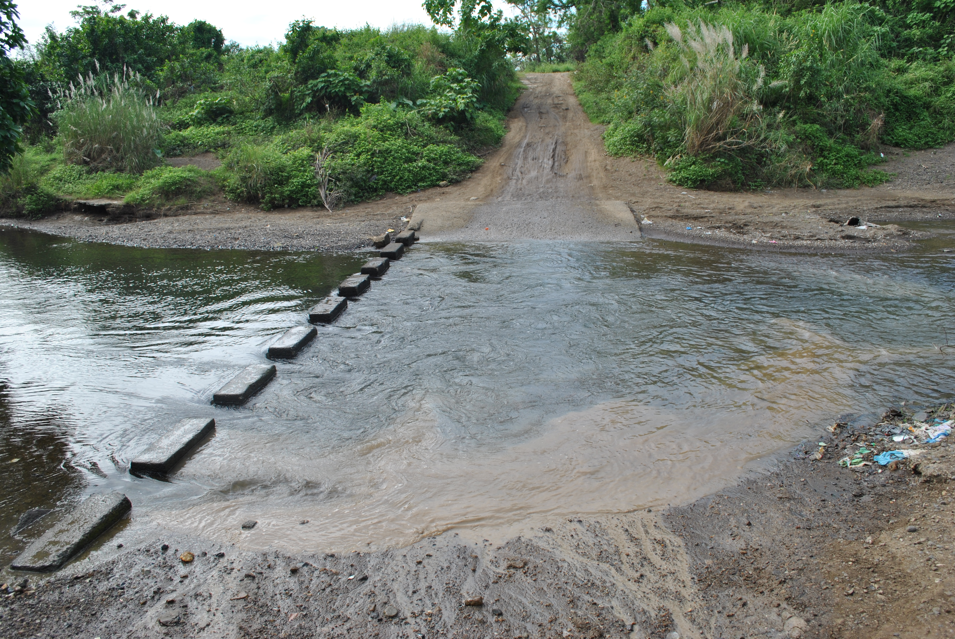
9. After passing the BARANGAY LANGKA Arc, at about 20 meters, there will be a Y-intersection. TURN RIGHT on the Y-intersection and it will be the start of more uphill climbs and descending parts of the route. Ultimately, the runners will be crossing the Palale River.
TURN RIGHT After Brgy LANGKA Arc
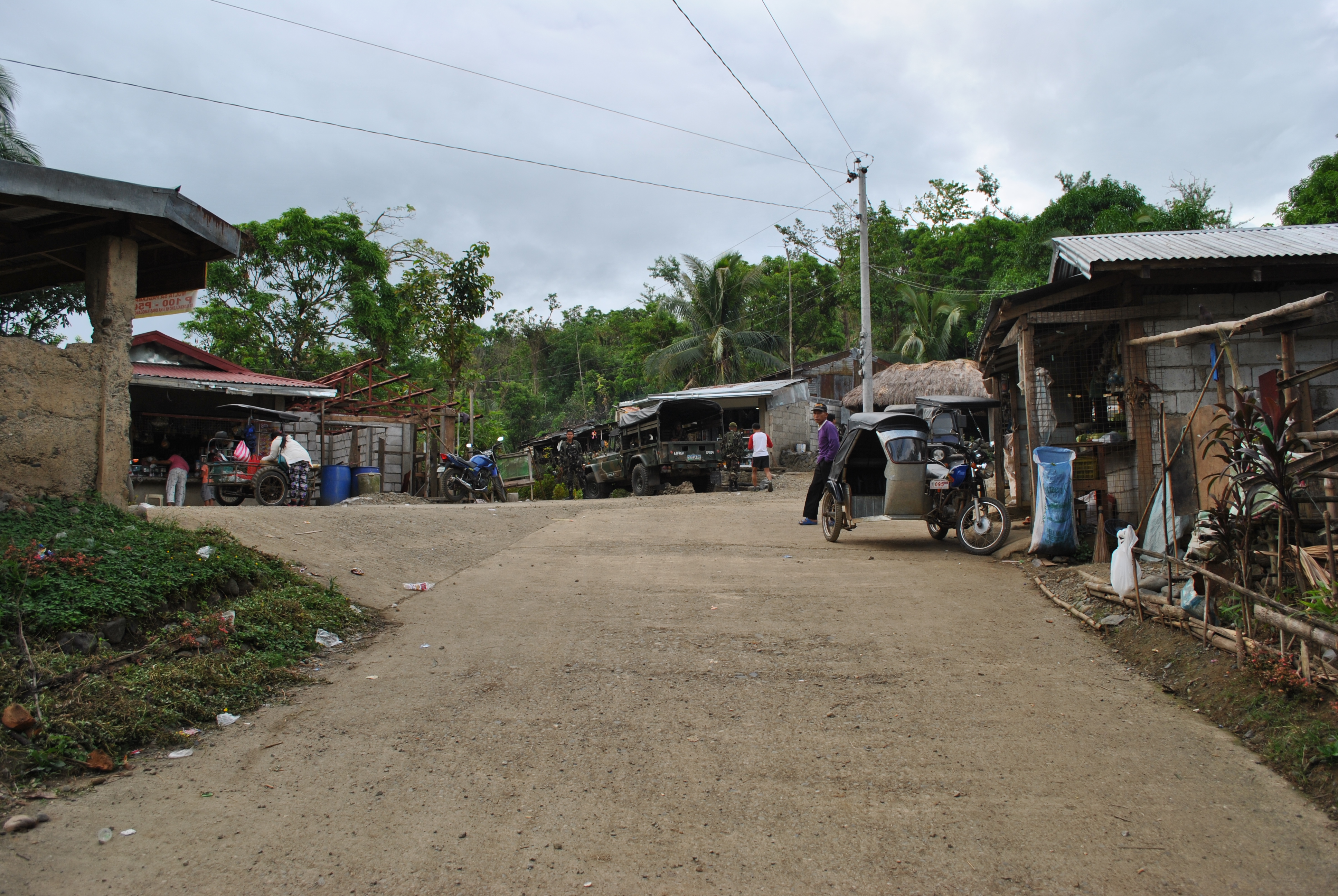
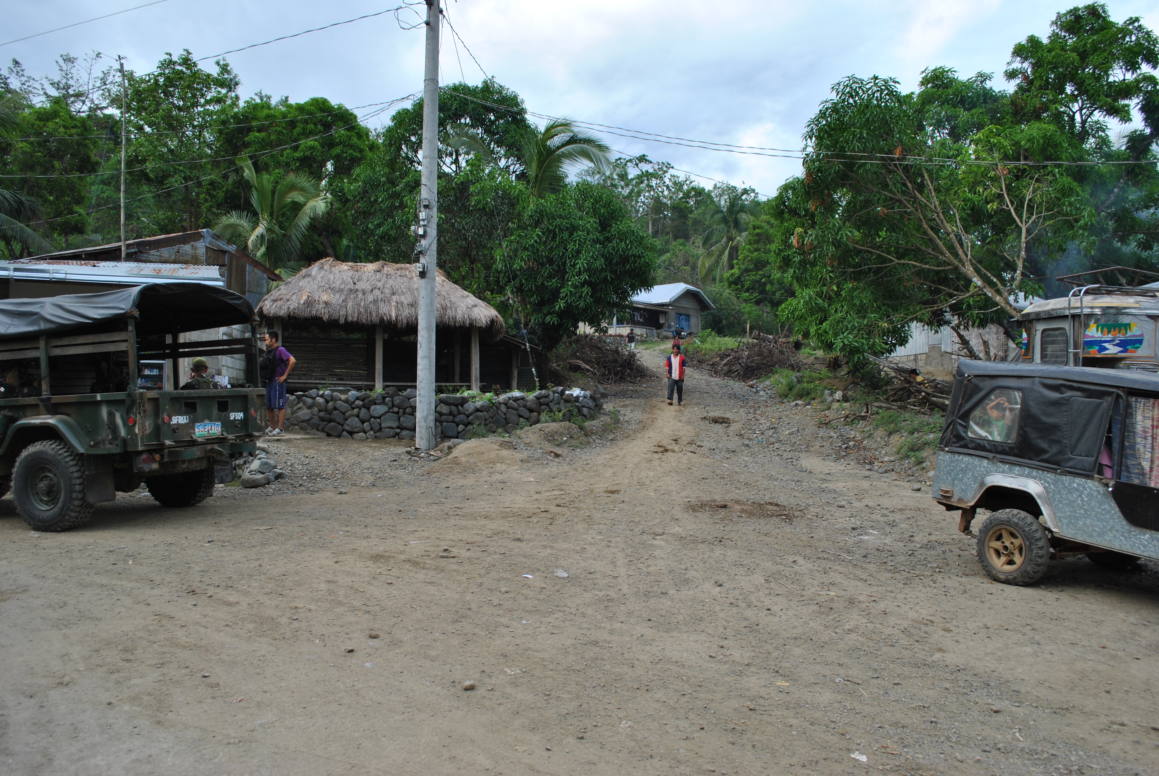
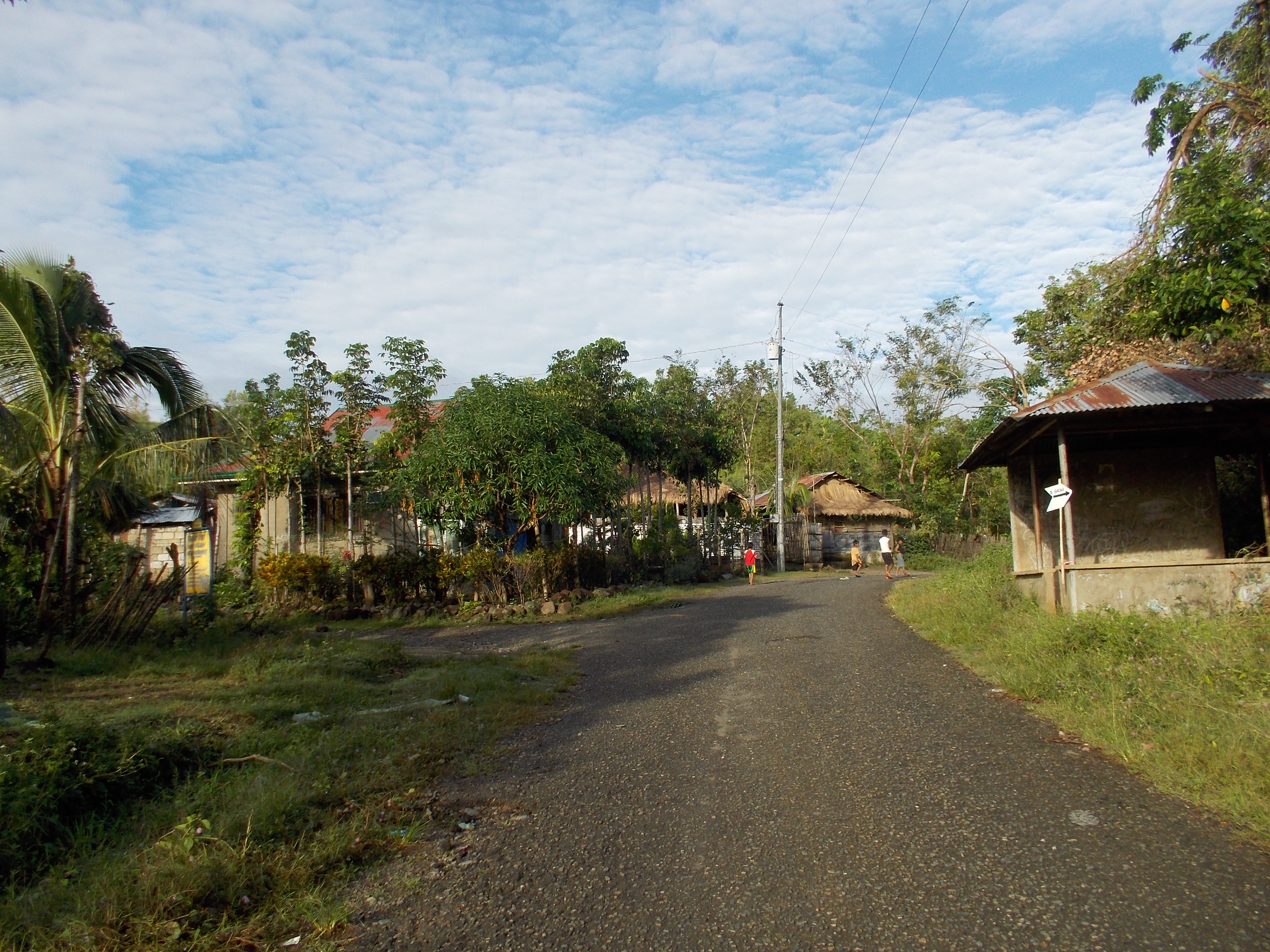
10. After crossing the Palale River, runners will be able to reach the center of Barangay Palale after few meters. There will be an Aid Station in this Barangay. There are also sari-sari stores in this area.
PALALE RIVERCenter Of Barangay PALALETURN RIGHT on the Right Most Road
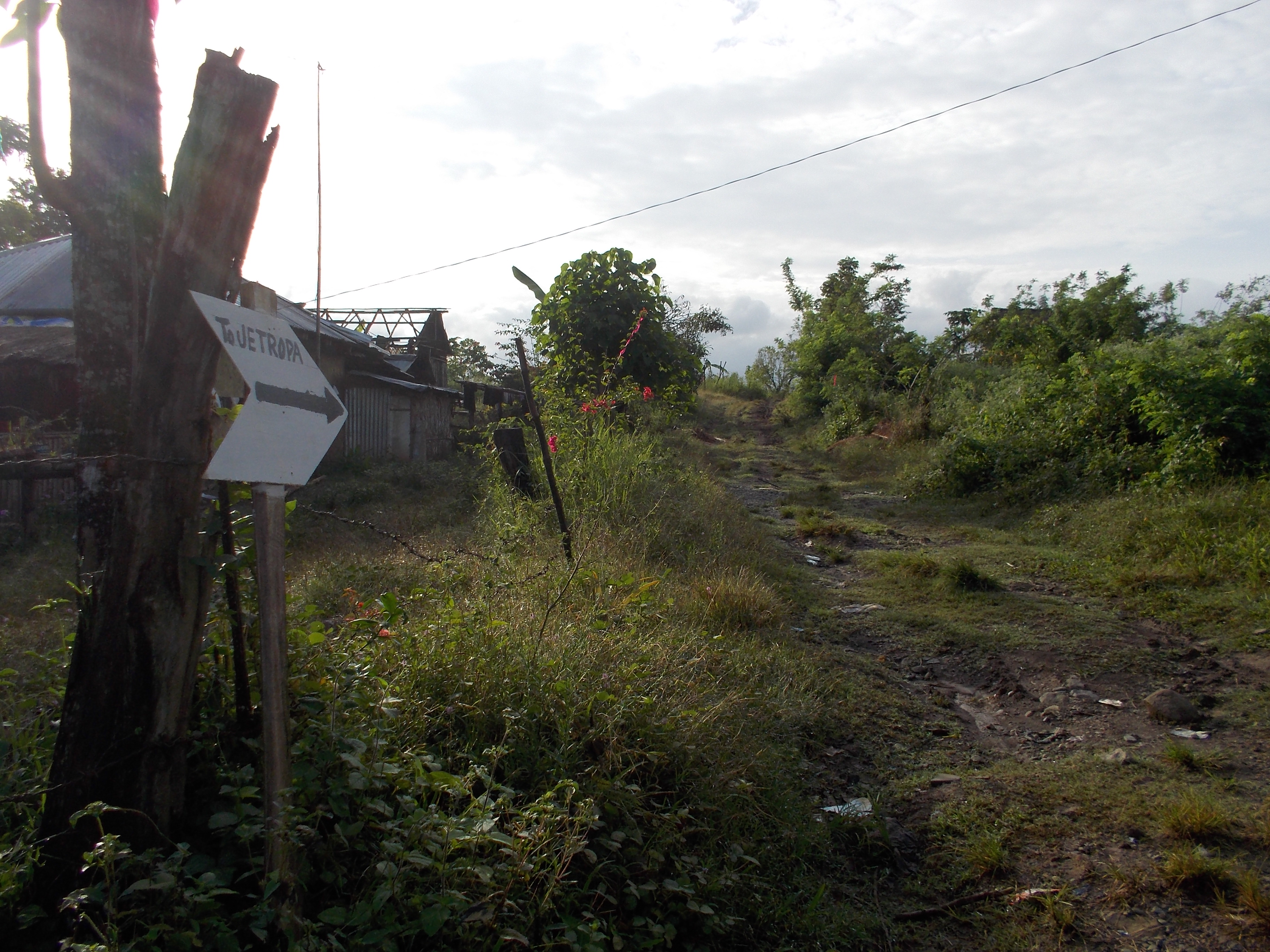
11. Runners will take the road on the RIGHT as one leaves the center of the barangay. Runners will be going to the direction of the Provincial Cattle Stock Farm.
Approaching The Provincial Cattle Stock FarmTake Note Of This Road Markings
12. Once the runners reach the Provincial Cattle Stock Farm, TURN RIGHT on the intersection. This road will lead the runners to Barangay NAZARETH.
TURN RIGHT On This Road Going To Barangay NAZARETH
13. Runners shall reach the intersection of GAPAN-PAPAYA-FORT MAGSAYSAY Road which is a paved/cemented, once they reach the center of Barangay Nazareth. The Aid Station is located at the Barangay Hall of Nazareth. At this intersection, runners have to TURN RIGHT going to a north direction.
Barangay NAZARETH IntersectionTURN RIGHT On This Road
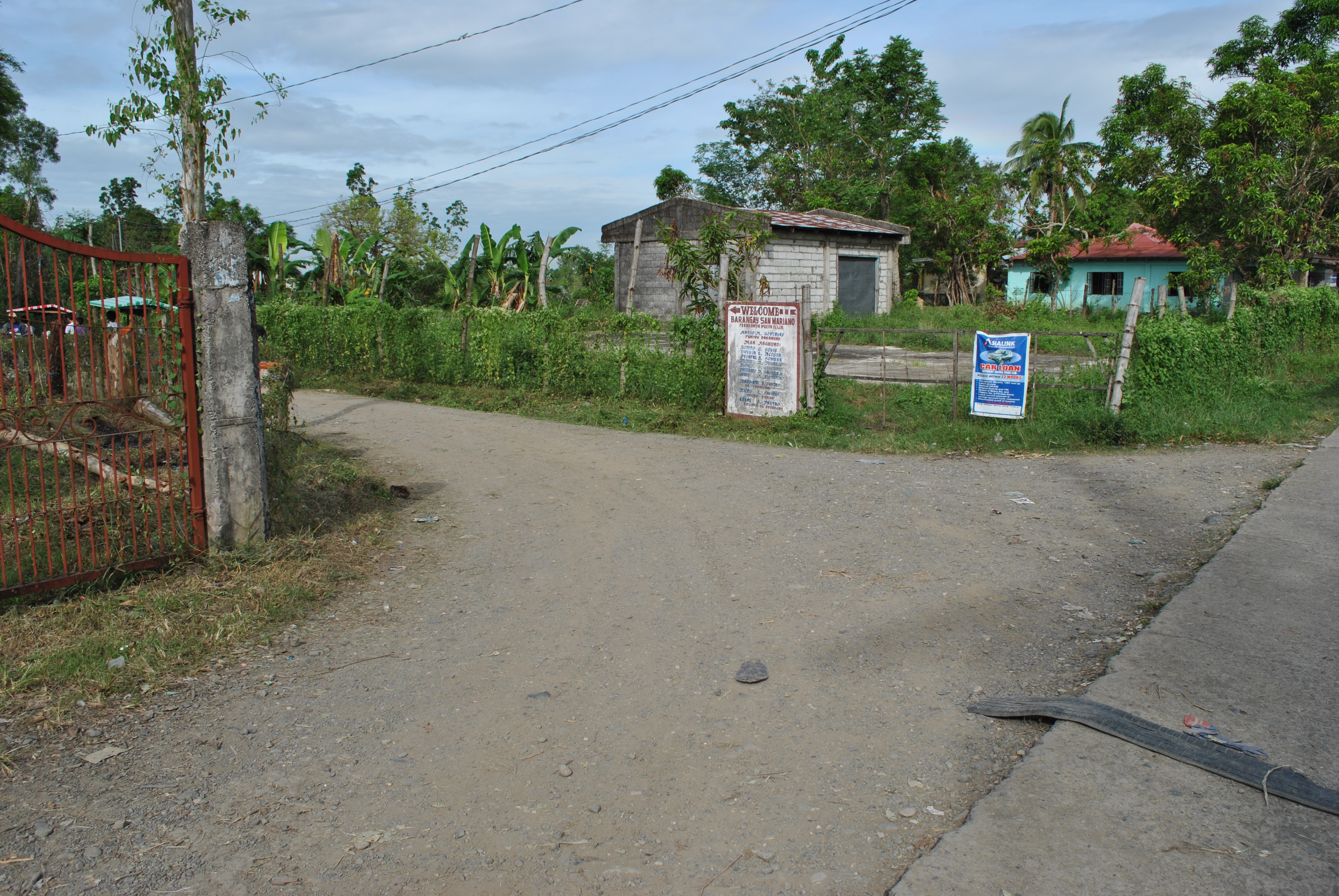
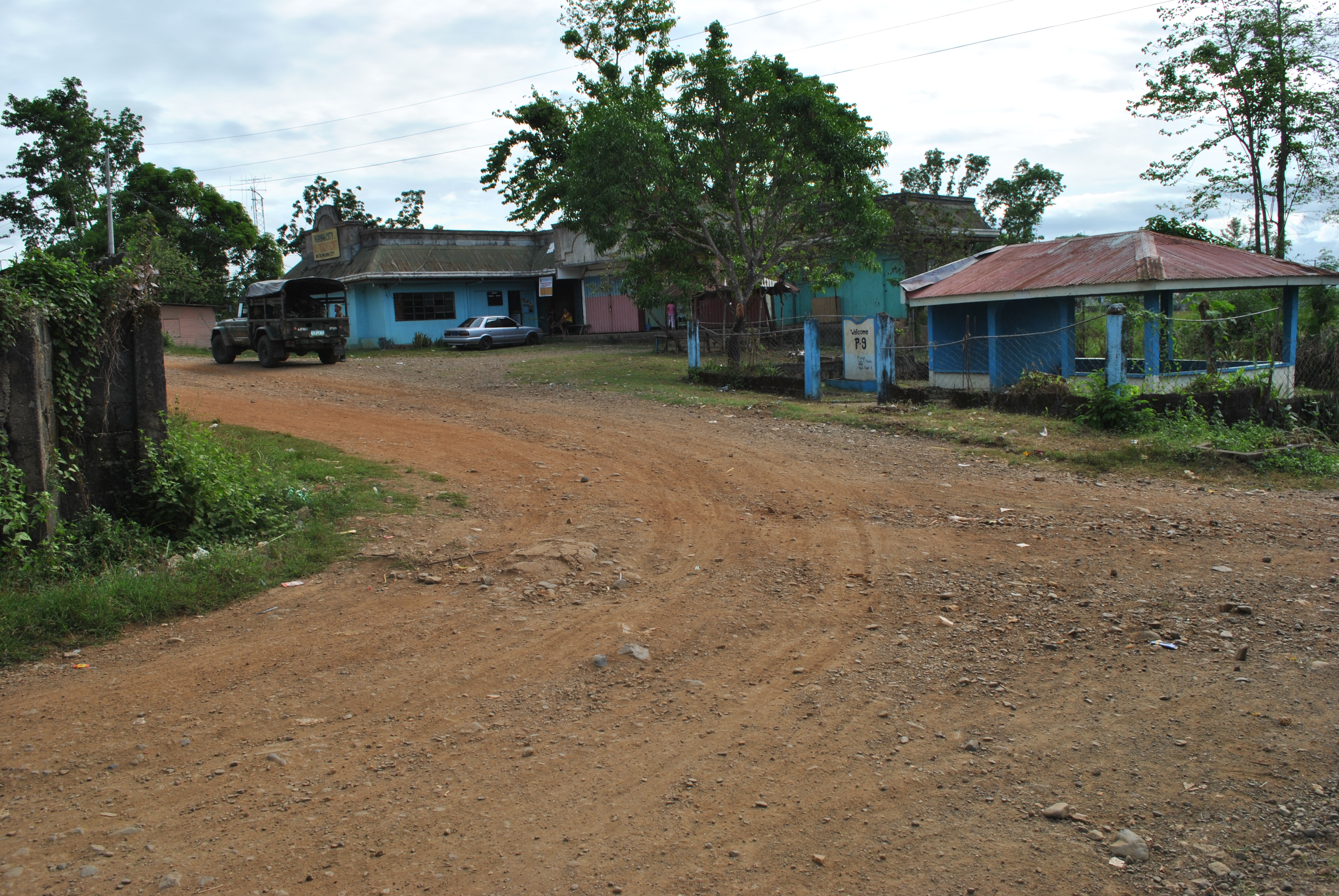
14. After 1.5 Kilometers, runners have to TURN LEFT in an intersection that goes to San Mariano/Purok 9/Barangay Militar. On this dirt road, runners shall always take or turn LEFT on intersections along the way.
TURN LEFT On This Road Towards Barangays San Mariano, Purok #9, Barangay MilitarTURN LEFT To Barangay Mariano/Purok #9/Barangay MilitarSPILLWAY On The Western Side Of Barangay Militar
15. Runners must be able to pass/cross an SPILLWAY on western part of Barangay Militar. After an uphill climb from the SPILLWAY, the runners will reach the PUROK #9 . From Purok #9, the runners will be approaching an intersection with the Santa Rosa-Fort Magsaysay-Laur Road/Highway.
S-Curve @ Purok #9Approaching The Santa Rosa-Fort Magsaysay-Laur Road/Highway. TURN RIGHTTURN LEFT Towards Barangay BANGAD On This Intersection
16. After about 1.5 kilometers, runners will reach a busy road intersection (Bangad To Gate 1 Fort Magsaysay Road & Santa Rosa To Laur Road). Runners should TURN LEFT towards Barangay Bangad, Palayan City.
17. After running for 2 kilometers along the Fort Magsaysay-Bangad Road (going North), runners will see a green steel arc with the markings “FORT MAGSAYSAY RESERVATION AREA” and a Waiting Shed on the right side of the road. There is a Y-intersection after passing the Arc and Waiting Shed. Runners shall TURN RIGHT on the road that goes to Barangay MALIGAYA.
Before The Y-Intersection Going Barangay MALIGAYARoad To Barangay MALIGAYA
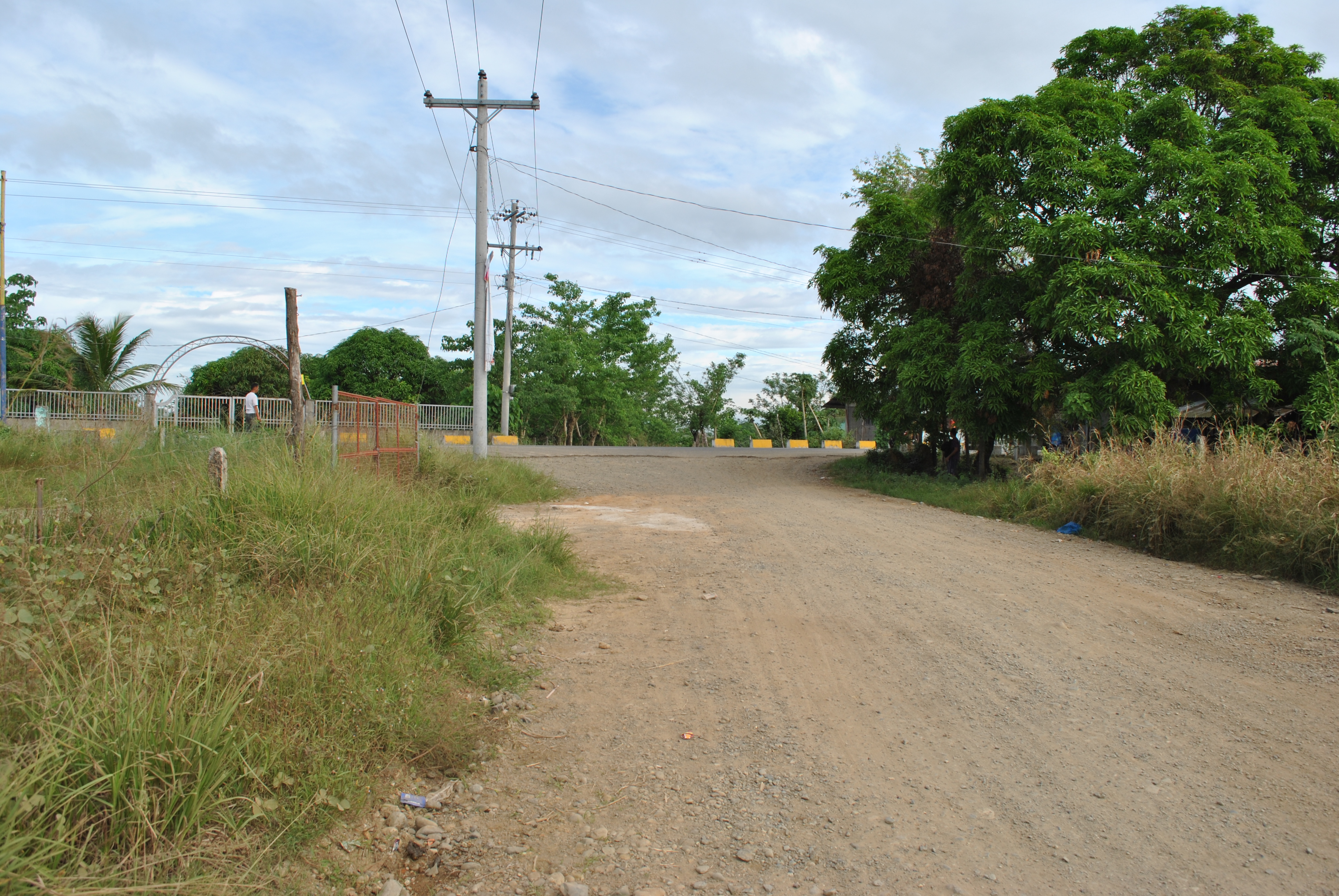
18. After runners had passed Barangay MALIGAYA, the road will lead them to the FIRST intersection with a Military Checkpoint & Detachment along the Santa Rosa-Laur Road. Runners shall cross the Paved Road (Santa Rosa-Laur Road) on their way to Barangay Dona Josefa. At this point, runners shall have circumnavigated the outer perimeter of the Camp’s Cantonment Area.
TURN RIGHT @ The Intersection of SITIO ALORMA (Going To The Airstrip)Runners Will Be Reaching This Place From Sitio ALORMA
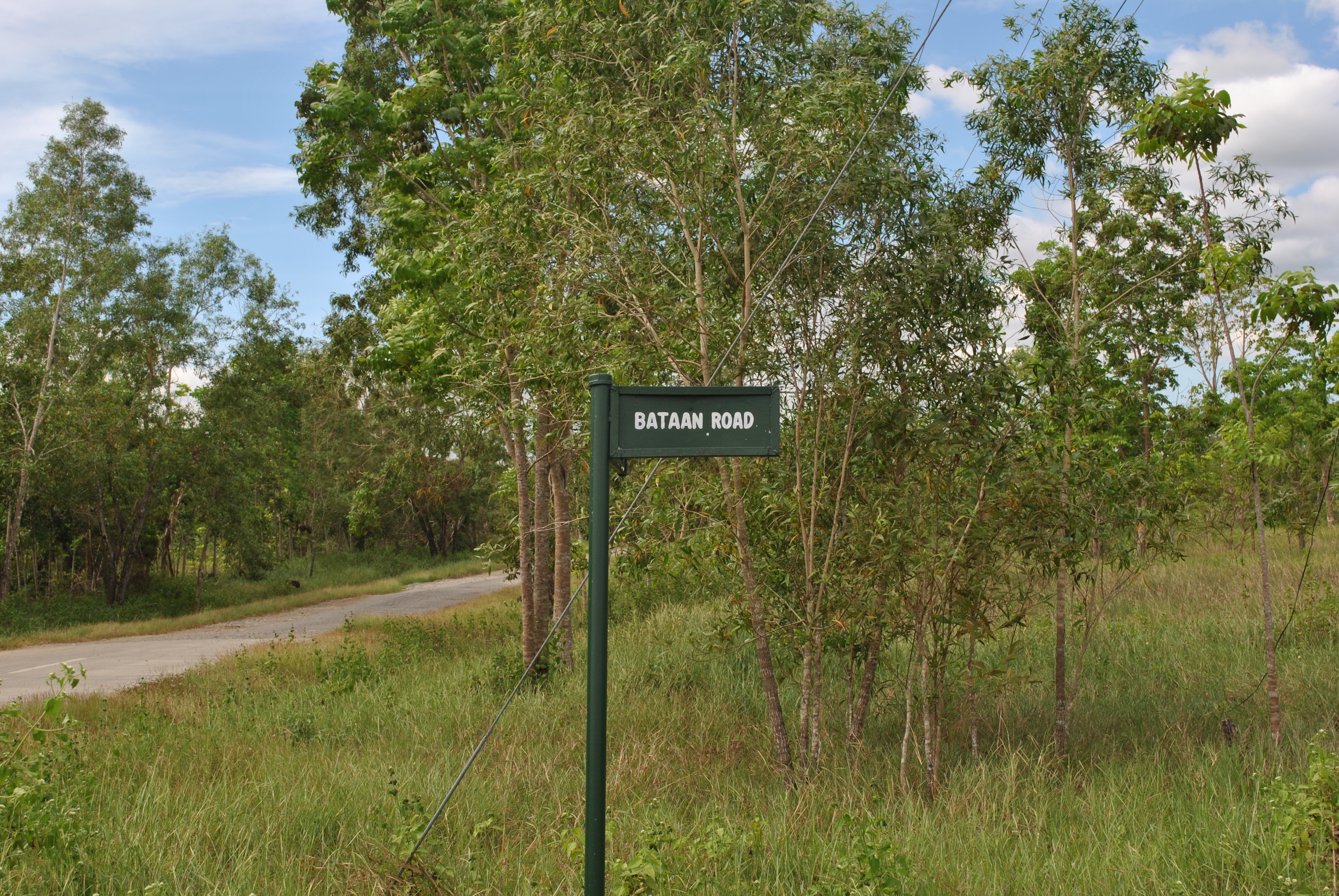
19. Along the Barangay Dona Josefa Road, runner should be ATTENTIVE. The first intersection is at SITIO ALORMA. TURN RIGHT at Sitio ALORMA intersection and go STRAIGHT uphill. The trail will lead the runners to the end of the airstrip. At the end of the airstrip, there is a Y-intersection. TURN LEFT on the said intersection. The road will lead the runners to BATAAN ROAD and the runners will be going to a SOUTH Direction.
END OF THE AIRSTRIP. Runners Shall TURN LEFT Towards Bataan Road
20. Along BATAAN ROAD, runners will see FIRING RANGES on their LEFT and a GOLF COURSE on their RIGHT. Runners will follow the Bataan Road until they will reach the intersection going to CORDERO DAM.
BATAAN ROADStreet Sign/Marker @ Bataan Road
21. Runners have to TURN LEFT on a dirt road that goes to CORDERO DAM. After 2 kilometers, there is a Y-intersection. Runners shall TURN RIGHT on this intersection. This trail will lead the runners to the Special Forces School and then to FERNANDEZ HILL.
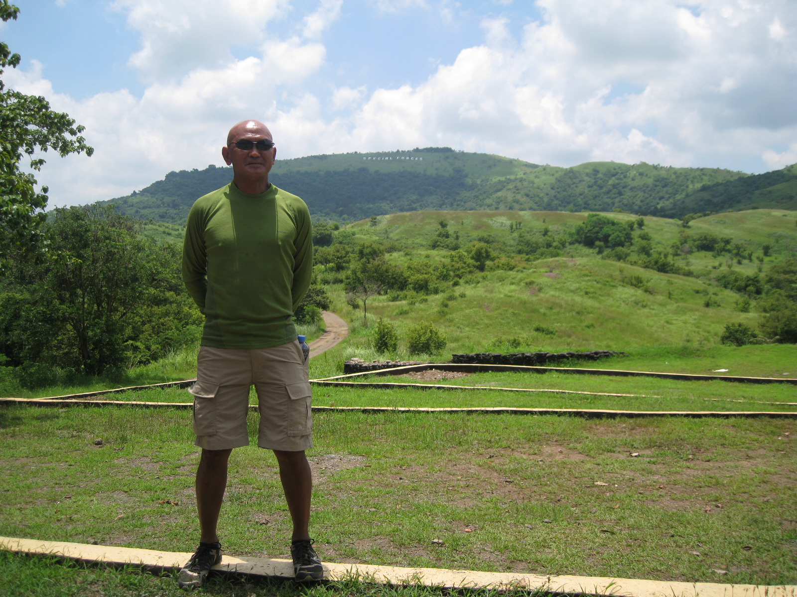
22. Fernandez Hill is the location of an Aid Station. Runners will have to pass this Aid Station for six (6) times for the 100-Mile Race and three (3) times for the 50-Mile Race.
@ Fernandez Hill With Mt Taklang Damulag At The Background
23. From Fernandez Hill, runners will have to proceed to the peak of Mt Taklang Damulag and then descend on its northern part. The descending trail leads to SITIO BACCAO (along the Barangay Dona Josefa To Barangay Palale Road). Upon reaching the asphalted road, runners shall TURN LEFT and proceed to SITIO ALORMA Crossing/Intersection.
Trail Coming From Taklang Damulag To Dona Josefa-Palale Road
24. Runners shall TURN LEFT at Sitio ALORMA intersection (Going To Cordero Dam). After about 20 meters, TURN LEFT on a trail that leads to CORDERO DAM/LAKE. (Going UPHILL will lead the runners to the end of the airstrip. Don’t take this UPHILL dirt road!)
Going South To Brgy Alorma (Going To Cordero Dam) Intersection (400 Meters)TURN LEFT On This Intersection Going To Cordero DamTURN LEFT On This Trail (20 Meters From The Intersection)
25. Once the runners are in CORDERO DAM/LAKE (on the right side of the runners), they will reach a Y-intersection (the same Y-intersection that runners had passed after coming from BATAAN ROAD and upon reaching CORDERO DAM/LAKE). At the intersection, TURN LEFT and the runners will be going to the Special Forces School and then to Fernandez Hill. This completes the 12K inner loop.
26. Runners will have to run along the Taklang Damulag course (12K inner loop) for two times.
27. After finishing two loops, from Fernandez Hill, runner will follow the asphalted road that goes out from the Molave Complex (location of the Special Forces School and Fernandez Hill/Taklang Damulag). Runners must pass the Checkpoint/Gate of the Molave Complex that goes directly to BATAAN ROAD.
28. Runners will be running along BATAAN ROAD on their way back to SOCOM Headquarters/Starting Area. At the dirt road at the end of the airstrip, there will be an intersection (the first intersection on a dirt road after 800 meters from the Starting Line), TURN LEFT on this intersection. The dirt road will lead the runner to the Starting Area/SOCOM Headquarters.
TURN LEFT On This Dirt Road In Going Back To The Starting Area (SOCOM Headquarters)
29. This completes the FIRST HALF of the 100-Mile Course. The LAST HALF of the course will be a repetition of the FIRST HALF.
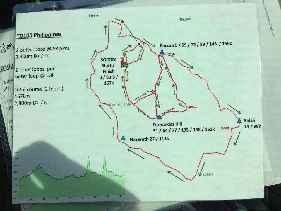
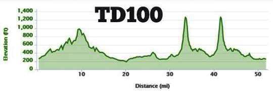
TD 100 Route MapTD 100 Elevation Profile
30. 100-Mile Race Runners must be able to finish the FIRST HALF in 15:30 Hours. Cut-Off Time for the 50-Mile Race Runners is 16 Hours.
31. On the SECOND LOOP, runners must be able to reach FERNANDEZ HILL in 25 hours before starting their last TWO (Small) Loops at Mt. Taklang Damulag.


You must be logged in to post a comment.