
Almost every time I visit and stay in Los Angeles, California, I always make a schedule to trek to the peak of Mt Baldy. I have read a lot of blogs and FB status of running friends in Los Angeles that they would go and hike up to the peak of the said mountain. One of my ultra running friends, Benjamin Gaetos, is a regular visitor of this place and one time, I asked him for directions in going to Mt Baldy. And he generously stated the directions and the things to be required to be able to park ones vehicle near the trailhead. This was 4-5 years ago. From then, I was a regular visitor/hiker to Mt Baldy (Mt San Antonio).
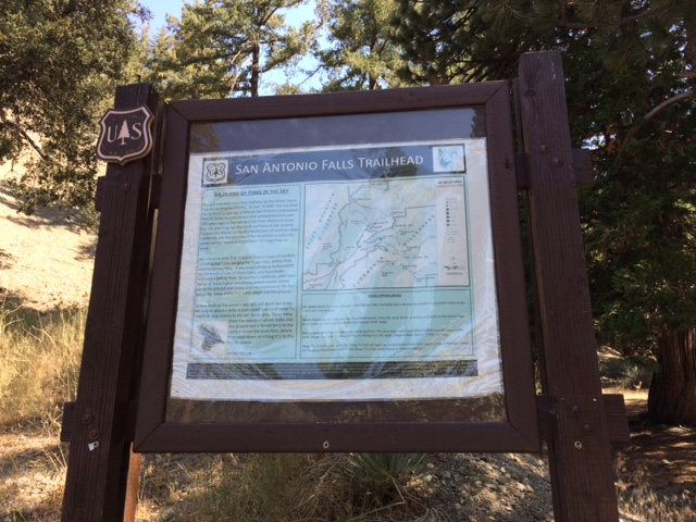
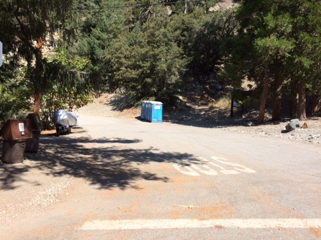
Coming from Downtown, Los Angeles, I would drive to Highway 2 North and enter Highway 134 until it merges to Highway 210 East going to Pasadena up to Azusa/La Verne area. I have to exit at Baseline Road, turn Left at the Stop Light/Intersection and then drive towards Padua Street. At Padua Street, turn Right until I would reach the Mt Baldy Road. Turn right at Mt Baldy Road and go north, passing through the big lawns and nice houses in Claremont, until I would reach Manker Flats. A few yards (along the paved road) above Manker Flats, there is a road on the left with Portalets and within the said vicinity is where anybody could park their personal vehicle. The trailhead is the start of the road called “Mt San Antonio (Baldy) Falls Road”.
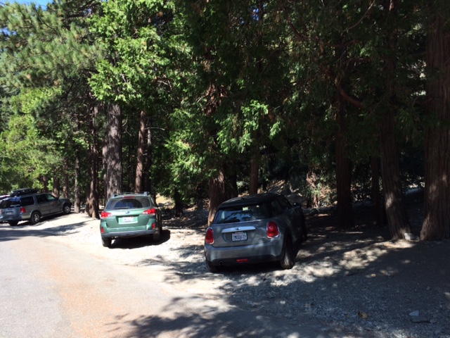
However, one has to display an “Adventure Pass” on Dashboard of the Vehicle to be able to park in this hiking destination. The “Adventure Pass” can be bought in any of the REI Stores in Los Angeles and some of the Outdoor Stores in the area. It costs $35 which is valid for One Year. One-time Day Pass is also available for the price of $5.
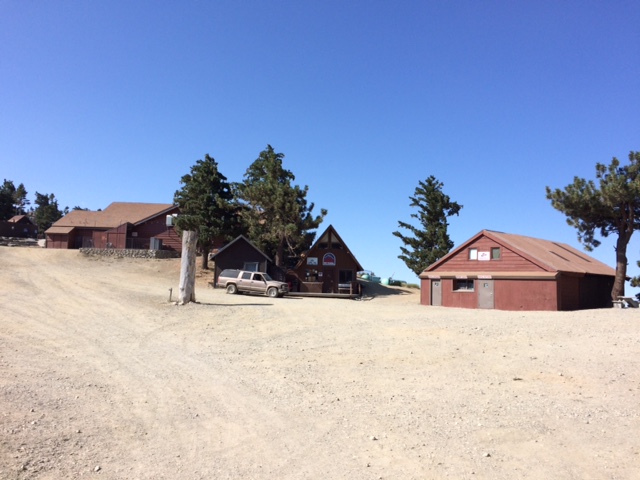
On my first hike, I would follow the “Fire/Dirt Road” going up to the mountain from the trailhead by following where the Ski Lift would end. At the end of the Ski Lift which has commercial establishments and Public Toilet, I would turn left on another Dirt Road that would lead me to the Devil’s Backbone Trail, Mt Harwood, and to the peak of Mt Baldy. Round Trip distance would be 14 miles and it would take me almost 8 hours for the first time that I hiked to the peak.
But later on, on my yearly visits, I would be introduced by running friends on some of the shorter distance and steeper trails towards to the peak of the mountain.
For this year’s visit, it will be my 5th visit to “peak bag” the mountain. And I could make it with my 6th “peak bag” before I would leave Los Angeles for Manila.
Rowell Ramos, an ultrarunner from Los Angeles, invited me to join their group, for my 5th hike to the said mountain. For Rowell and his friends, it is their “bread & butter” as they would peak bag the mountain almost every week. Rowell would sometimes hike alone by starting early in the morning and then before 10:00 AM, he is done with his hike.
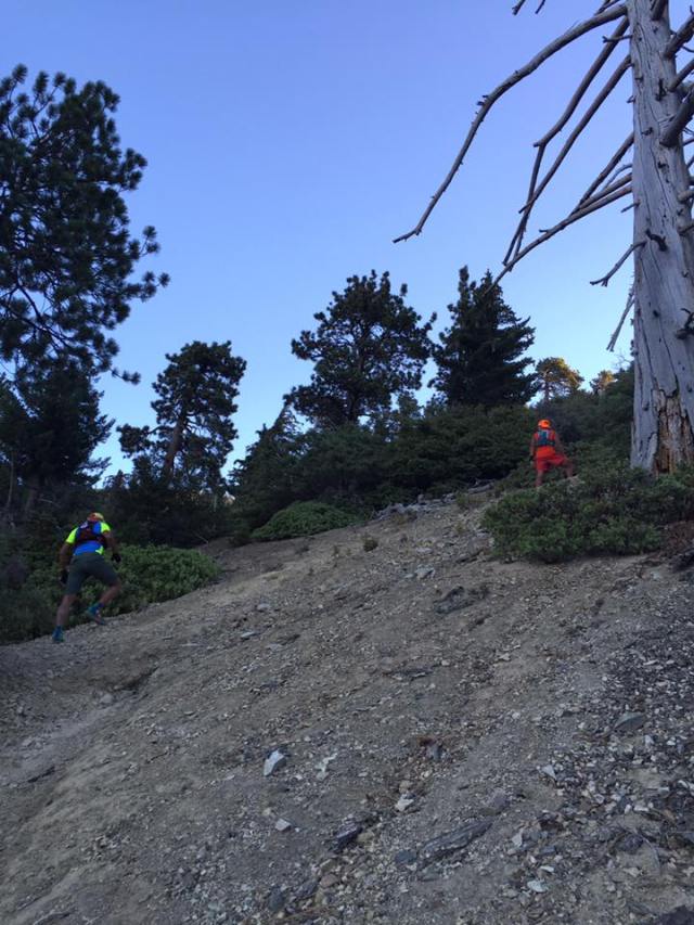
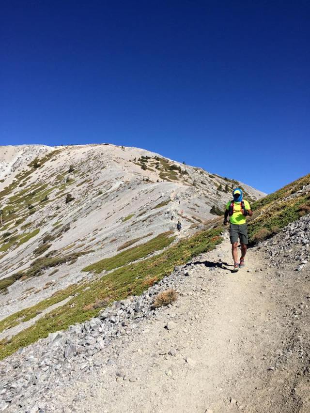
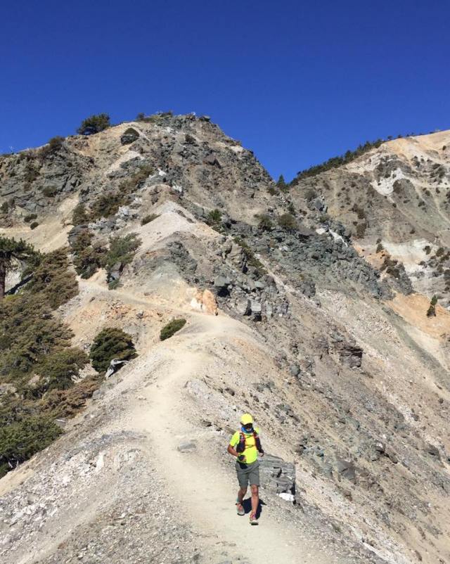
I joined Rowell, Peachy Poso, and Rico Bagayawa on this hike which was done on the first Saturday of August 2016. We met and assembled at Manker Flats at 6:00 AM and we started to hike as soon as possible. We took the steepest trail leading to Mt Baldy where we veered left after hiking along the Mt Antonio Falls Road for about a mile. But before going to the said mountain, we “peak bagged” Mt Harwood first which is one mile away from Mt Baldy. This “new” trail experience was very challenging as I have to stop along the way for me to adjust slowly to a higher elevation. For the past weeks before this hike, I’ve been running on the road and never had the chance to accumulate vertical distance in preparation for this hike. However, slowly along the way, I was able to adjust my breathing as I positioned myself at the back of the group.
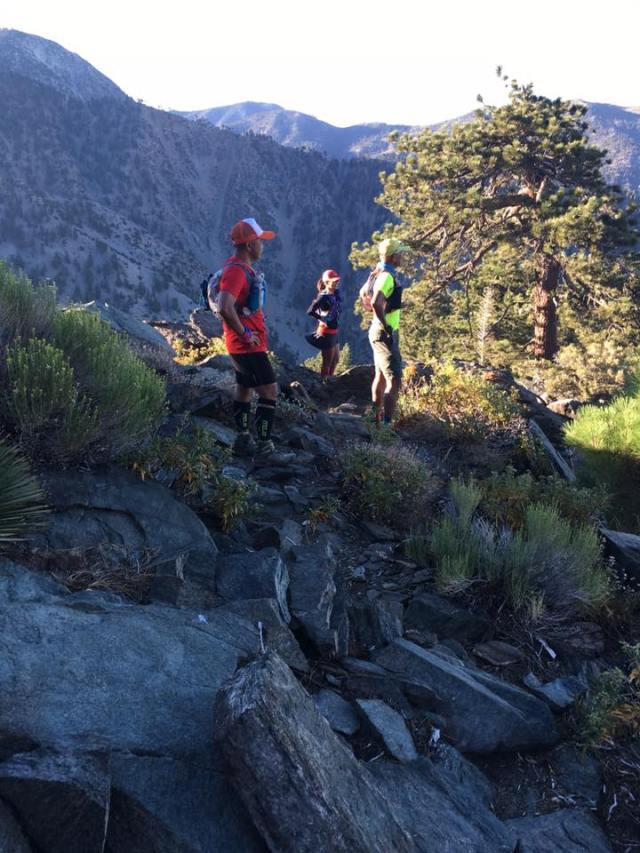
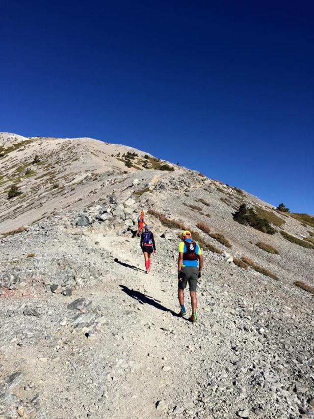
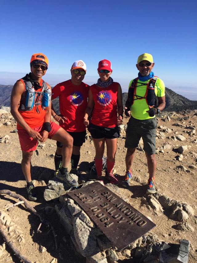
We started to meet the gusty winds from Mt Harwood but the wind temperature was not too cold that I would be able not to use my Windbreaker/Jacket. After a brief stop at the peak of Mt Harwood, we immediately proceeded to Mt Baldy. I was telling to the group that the same intensity of the wind was the same wind that stopped the race in this year’s TransLantau 100 in Hongkong. After a short descent from Mt Harwood, we were on our final assault to the peak of Mt Baldy. After 30 minutes of relentless hike, we finally reached the marker of San Antonio or popularly known as “Mt Baldy”.
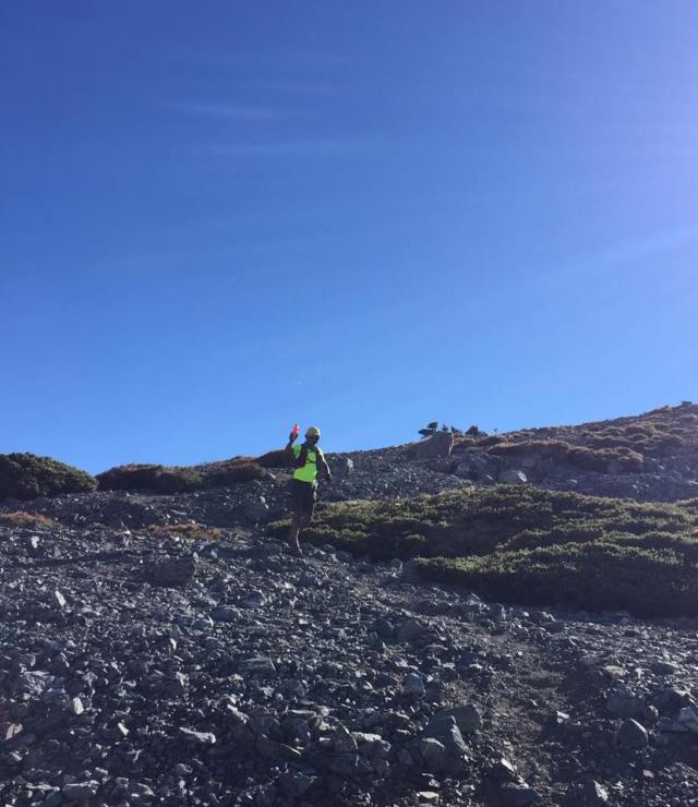
It is self-explanatory that the mountain is called as such because it is devoid of any kind of vegetation, except for a few shrubs on the side of the mountain. From a distance, you can see see its peak as whitish in color.
I think we stayed at the peak for about 30 minutes, taking some of our pictures and talking to some of the other hikers who happen to be friends of Peachy Poso. I was able to eat my energy bar and drink some of my water.
We were trying to locate where Mt Baden-Powell was located in relation to Mt Baldy as the 2016 Angeles Crest 100-Mile Endurance Run was being held on that day that we were in Mt Baldy. I was supposed to be in that race but because of lack of training, I opted not to join the said race.
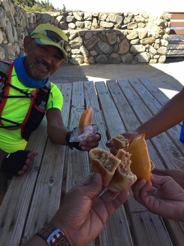
From the peak, we descended via the Devil’s Backbone Trail all the way to the Ski Lift Commercial Area. Since it was all descending trail, we took advantage to run and jog until we reached the commercial establishment. We had some water refill on the public faucet and ate some Empanada brought by Rowell Ramos. After a brief rest, Rowell and Peachy had to continue their trek to the Triple T Peaks which is another 10 miles before reaching the trailhead while Rico and I had to return to the Mt Baldy Falls Road Trailhead which has a distance of 3.5 miles from the Ski Lift Commercial Center.
Rico and I were done before noon time and we parted ways. I was able to hike and run a distance of 10.4 miles with a total elevation of 4,937 feet. The details of my hike & run could be seen here—https://connect.garmin.com/modern/activity/1291507392.
I promised to be back to this mountain for another solo hike and run before leaving for Manila.
If you happen to be in Los Angeles and would like to hike a mountain, Mount San Antonio (Mt Baldy) is a must!
(Note: Pictures and Empanada Were Provided By Rowell Ramos)
