
Griffith Park is the Pride and Most Popular Outdoor Park of Los Angeles City. It is one of the world’s biggest city parks with a total area of 4,467 acres, about five times bigger than the size of the New York’s City Central Park, and considered as the biggest municipal park completely surrounded by urban areas.
There are so many access roads/streets that lead to the park depending on your purpose of visit or activity. There is Greek Theater which is a popular venue for music concerts and stage plays; an 18-hole Golf Course & Driving Range; a Museum; The Griffith Observatory; The HOLLYWOOD Sign; a Horse Back Riding Facility; Carousel/”Merry-Go-Round”; Old Train & Railroad Museum; more than 50 miles of Fire Roads & Trails; and 20+ miles of paved roads for cycling. Griffith Park is the city’s “People’s Park” where its residents would enjoy the outdoor and its trails for free. The Fire Roads and Trails are strictly for hiking; running; and horse-back riding as MTBs or mountain trail cycling is not allowed.
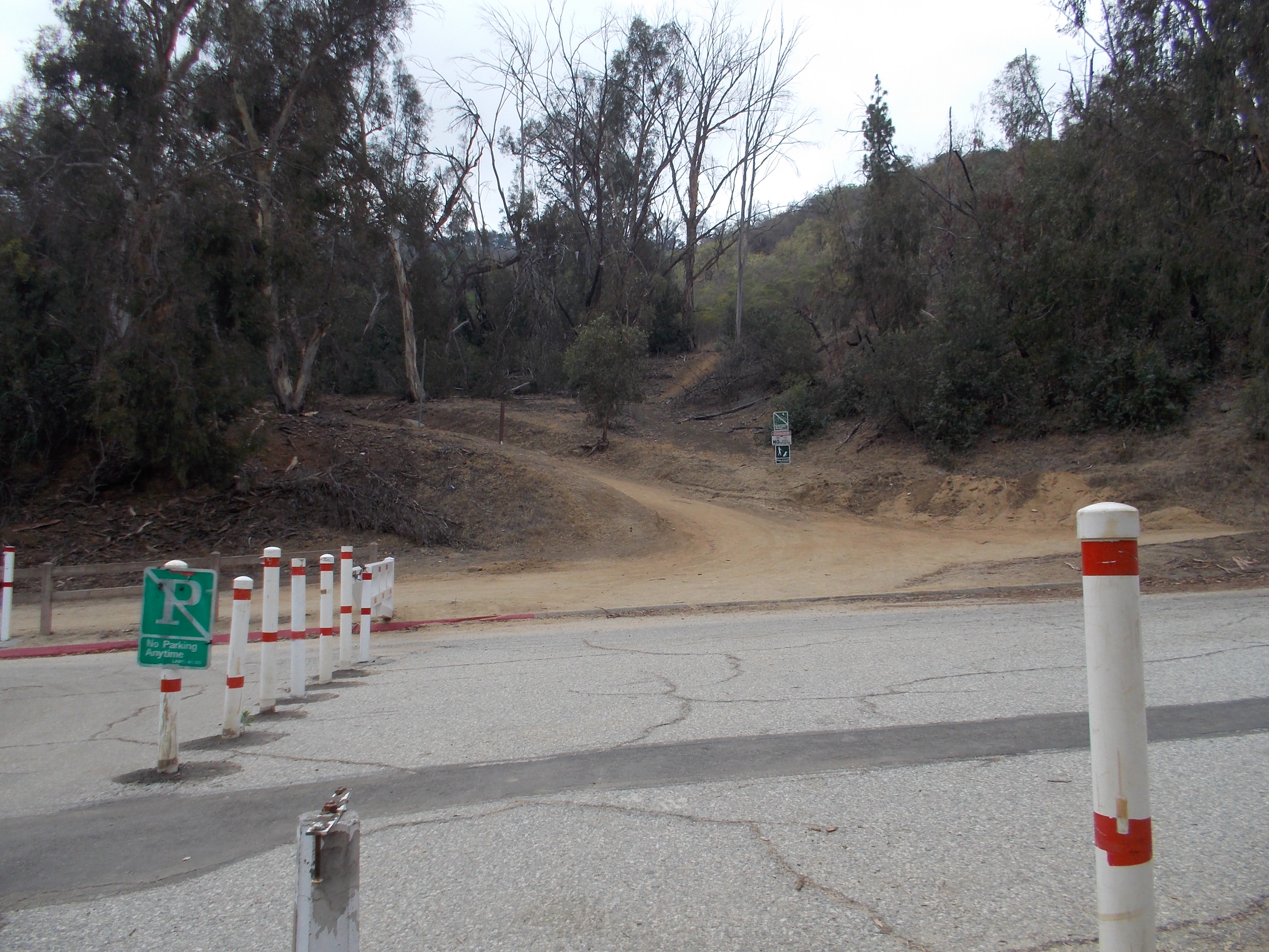
The “Merry-Go-Round” Parking Lot #1 to Dante’s View/Peak Trail Route is my favorite trail running route which has a “one-way” distance of 4.5 miles, making it a total of 9 miles in going back to the Parking Lot retracing the route on the first half.
In order to go to Griffith Park and to experience running or hiking this trail route, one has to take the Golden State Freeway 5 North and Exit at Crystal Spring Drive (Exit 141B), turn Right at Crystal Spring Drive and after 1/4 mile turn left on the first intersection. The ascending paved road goes to the “Merry-Go-Round” Parking Lot #1. The toilet is located near the Merry-Go-Round facility.

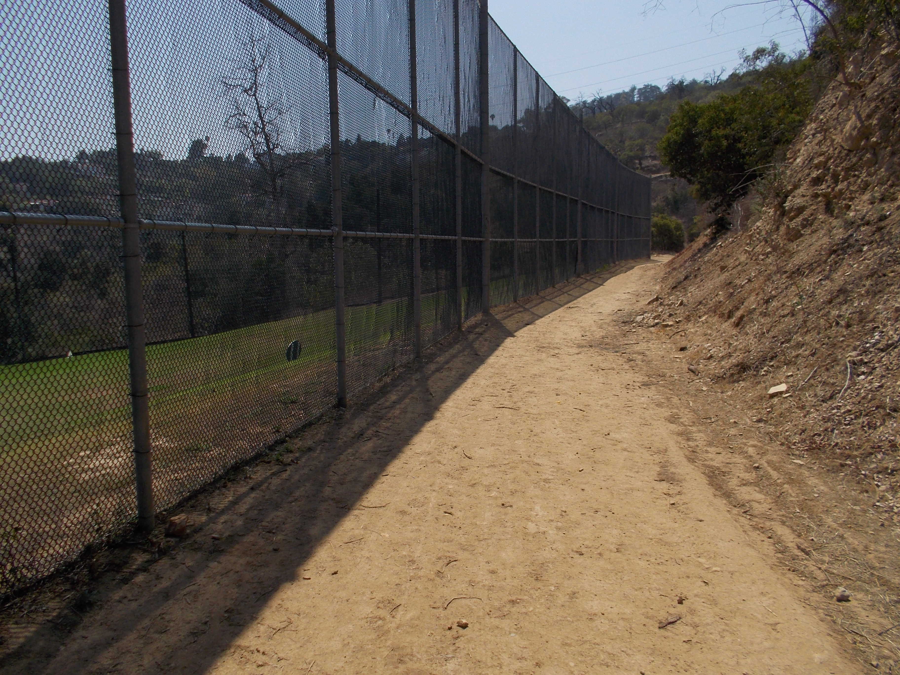
I usually start from the place where I park my car. Across the paved road from the Parking Lot #1 are two fire roads; one that goes south and the other that goes east. I usually take the fire road that goes to the east (it’s called the Coolidge Trail) that has an abrupt ascent until it levels up for about 15 yards. Follow this fire road as it goes up immediately after a right turn. From this trail you would see on your left shoulder the Crystal Spring Road and the Golden State Freeway 5 and this will be the sight on your first mile with the uphill and winding trail ahead of you. The 2nd mile will be a gradual uphill climb where one will be passing a Golf Driving Range on your left. Do not turn left on the fire trail that goes back to Crystal Spring Road. One should be turning RIGHT on every trail intersection along this 2nd mile section. There is only way but UP to the peak of the hill.
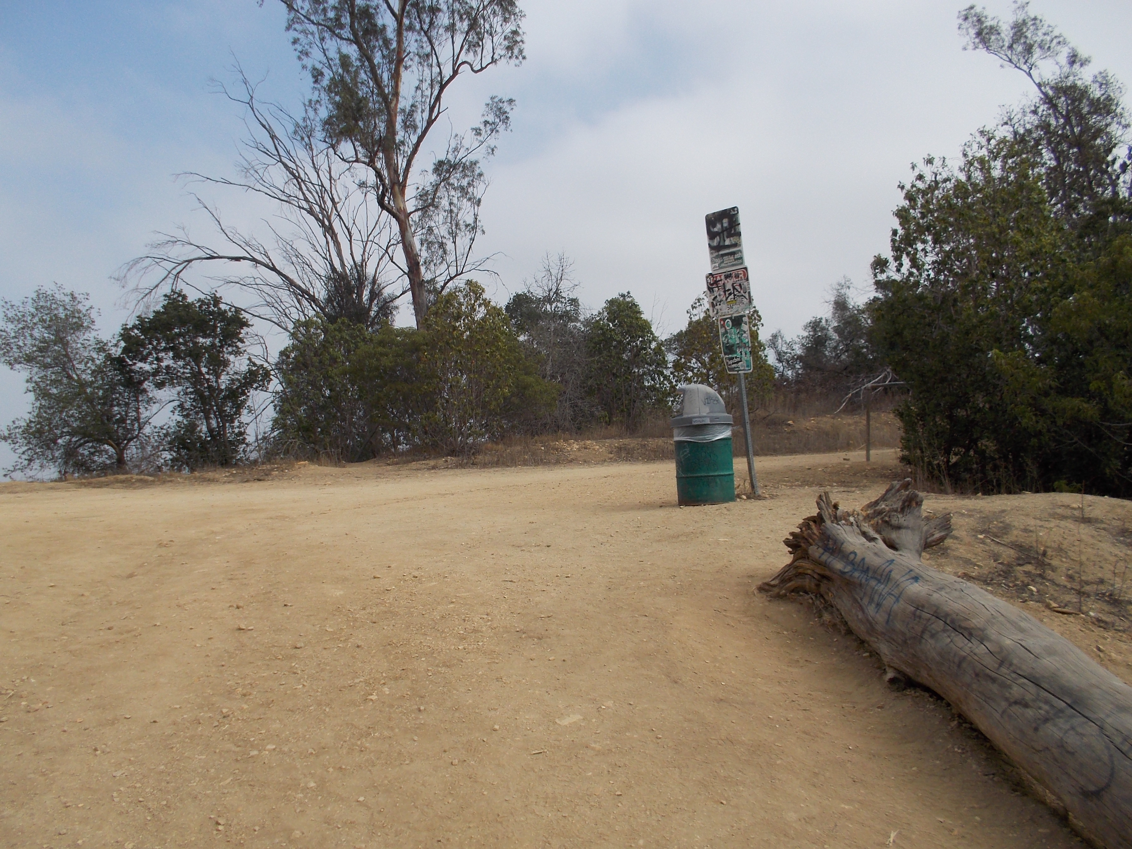
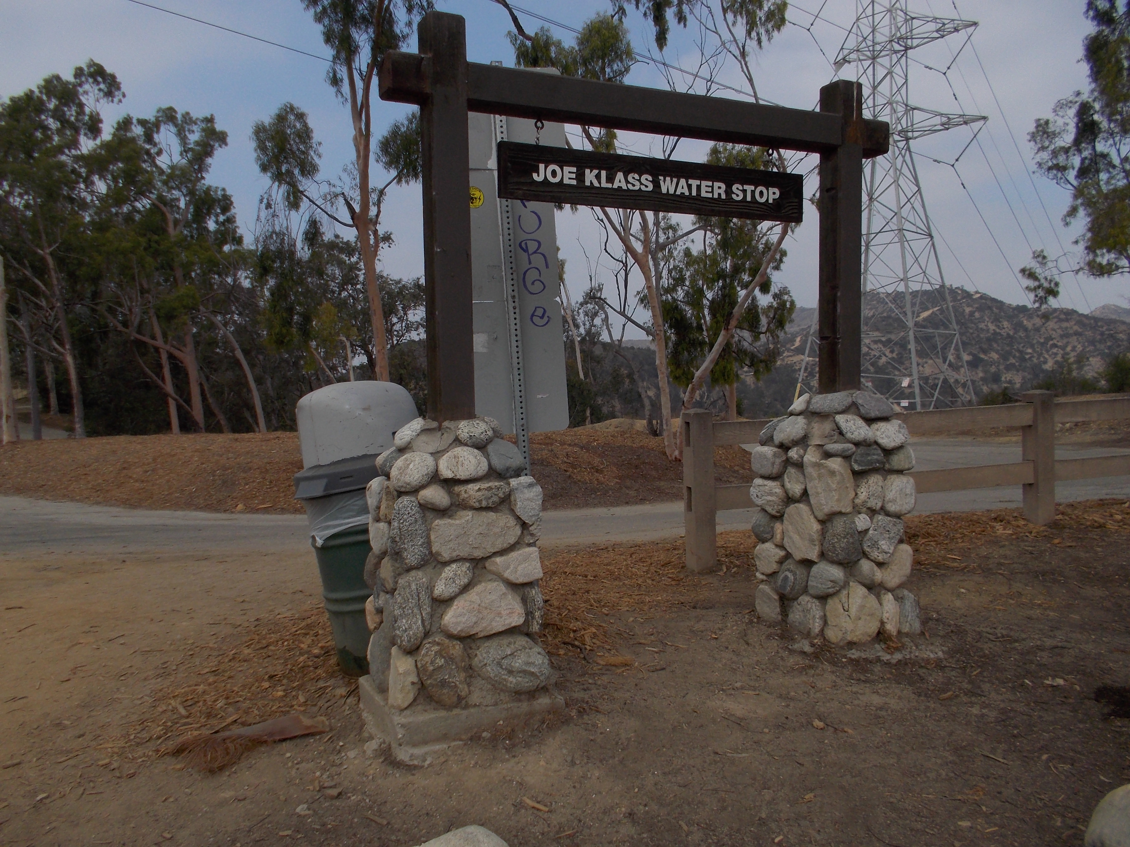
At the 2.5-mile point, the route shall level off and one will encounter a 5-way trail intersection. I usually turn right from this point and go to a peak which is popularly known before as Beacon Hill. As I reached the peak, I would turn around and back to the 5-way intersection. I would continue my run by going to the fire road that goes up and there is only one fire road that leads you to a ascending direction. After about 50-60 meters of uphill climb, you will see a marker that says, “Joe Klass Water Stop”. The water fountain is located on a clearing on your right. Don’t pay attention to the bees that “guard” the said fountain, they are always there the whole year round. If you need to drink, just drink or refill your bottles and then immediately leave the place. Don’t mess up with those bees!
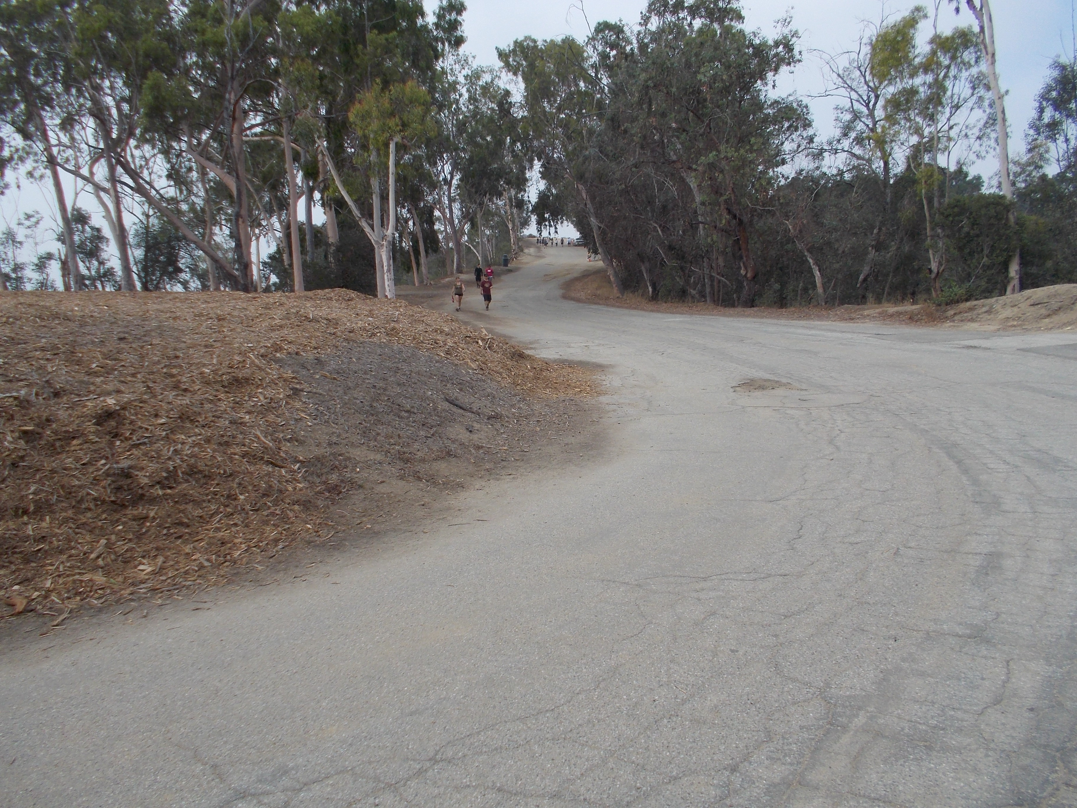
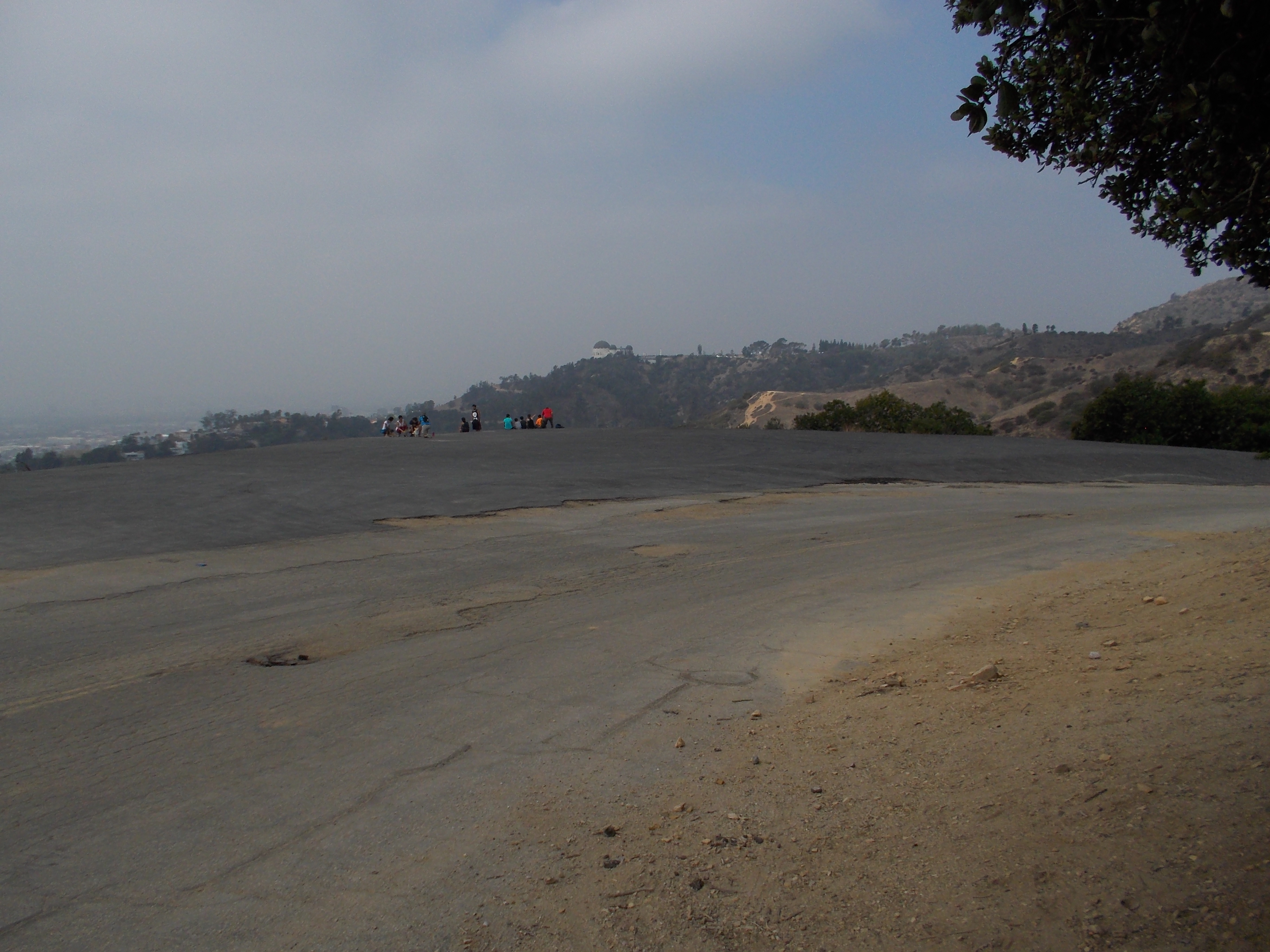
Once you get out from the water fountain clearing, you will hit a paved road (it’s called Vista Del Valle Drive). After about 50 meters running on this paved road, you have covered already 3 miles! Follow this road and on your left is a paved flat area which is a popular site for photo-ops overlooking the city and sometimes, it is being used as a helipad or location for movie shootings. As you passed this flat paved area, you can see ahead of you two fire roads on your left: one that goes down and one that goes up. Go to the fire road that goes up! This fire road splits from Vista Del Valle Drive and it has a closed wooden hut beside the start of the trail.
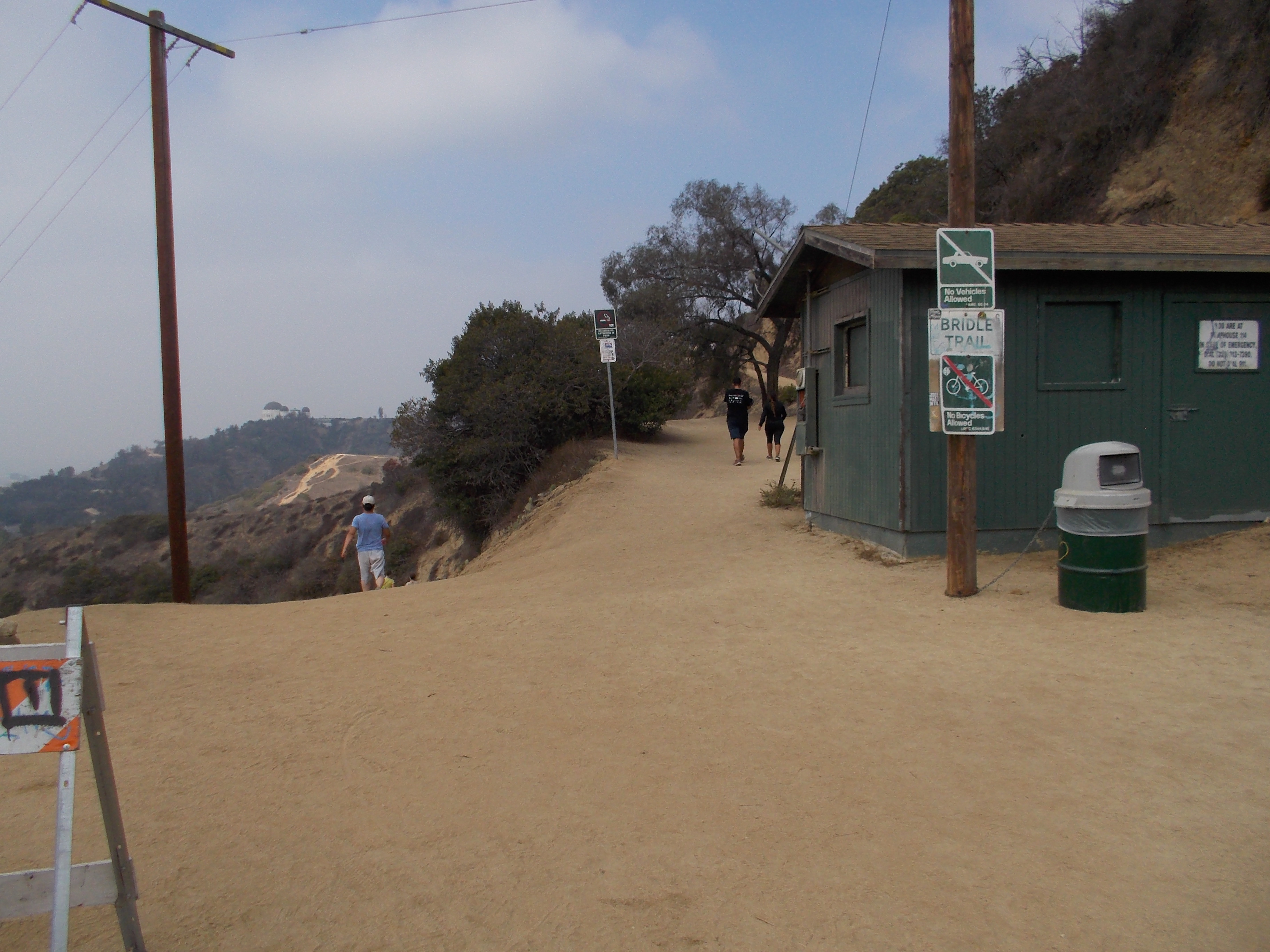
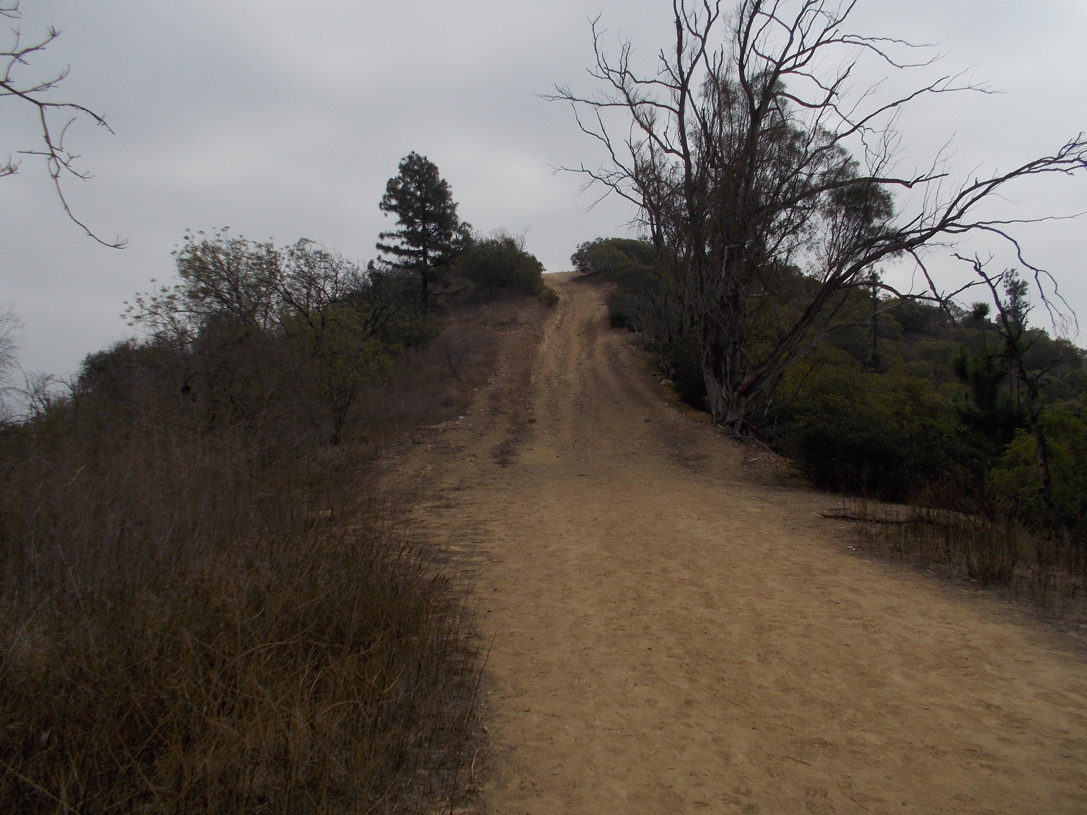
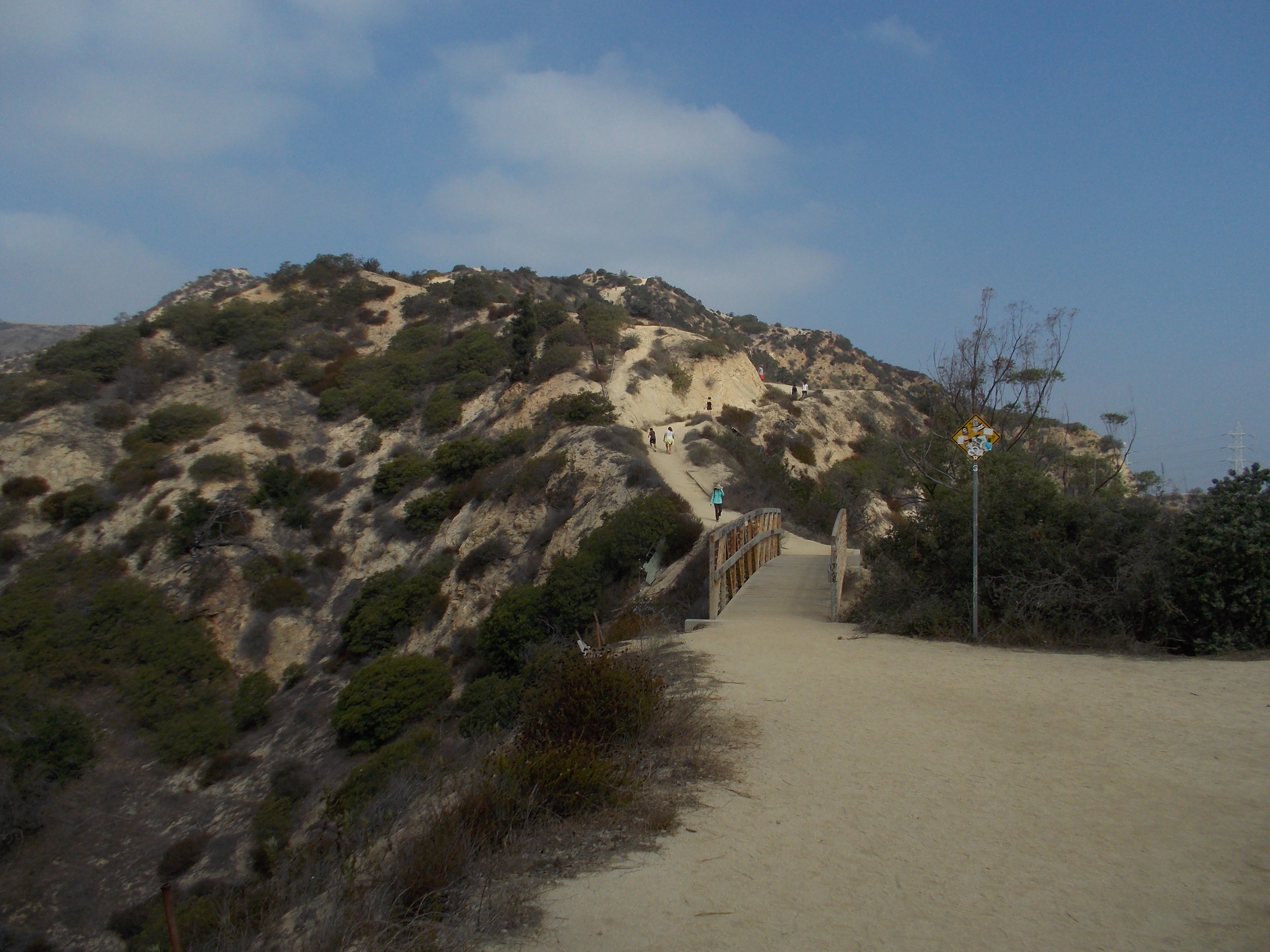
After two or three turns, you will see a wooden bridge and a higher hill where the fire road is leading to. You are now approaching the dreaded Hogback Trail. This trail is too steep on some sections and make sure that you have a good traction on your trail running shoes. Before the last climb of this trail, you must have covered 4 miles. I always have the urge to drink a lot of water from my hydration bottle before the last climb. Once you finish the last climb on the Hogback Trail, there is a water source (a water fountain and a faucet) and you can make your water refill here.
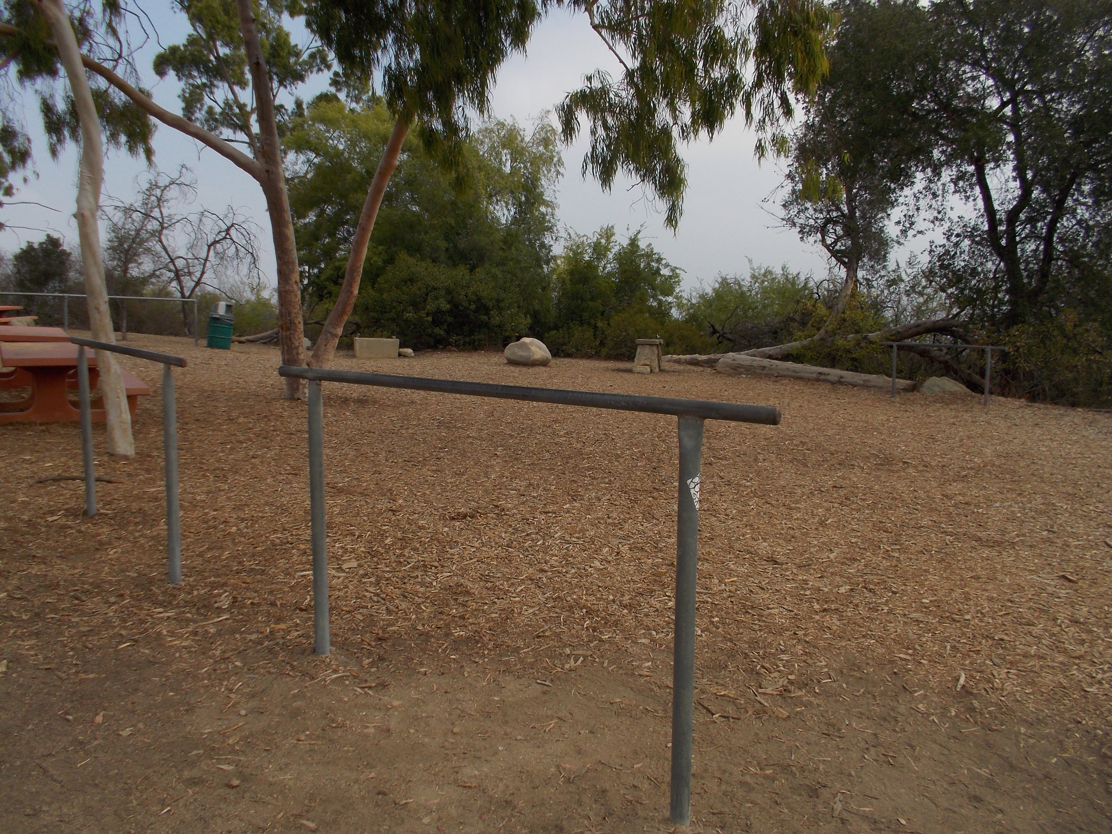
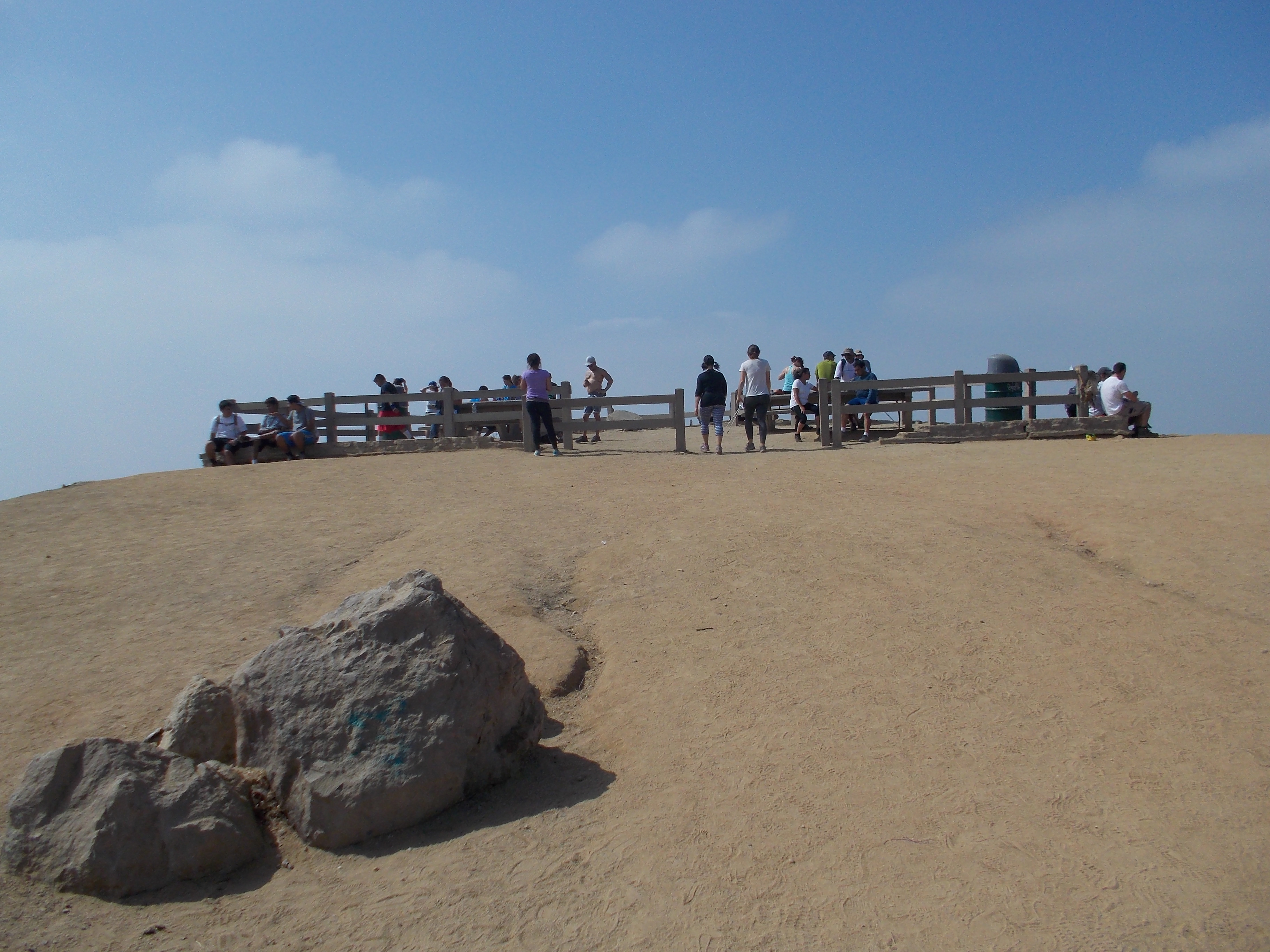
From the water source, follow the fire road as it continuously go on a higher elevation (don’t turn left on the trail that goes down after the faucet/water source). In about 30 meters from the faucet, there is a three-way intersection, turn left on the fire road and in about 100 meters, you can now see some concrete tables and benches inside a corral on the Dante’s View/Peak and the Hollywood Sign can be seen on your right. The Dante’s View/Peak is usually the resting place of those who hike and jog. One could see the City, the Griffith Observatory, the Hollywood Sign and the trails/fire roads that snake within the perimeter of the park. But for me, I just get inside the corral and touch the biggest rock where the Survey Marker is located and immediately turn-around. The distance covered is 4.5 miles at this point!
From the turn-around, I retrace my route as I go back to where I started, to include going to the peak of the Beacon Hill. One has to be very careful in going down along the Hogback Trail as there is great possibility that one makes a mistake of slipping from the trail which is purely a rock.
My Fastest Time to complete this trail running route is 2 hours. It has a total ascent of 1,857 feet and total descent of 1,837 feet. Dante’s Peak/View has an elevation of 1,608 feet above sea level. Allocate at least 3 hours for an average hiking with picture/hydration stops for this route.
A Runner’s Circle (ARC) Specialty Store is only 1 Mile away from the “Merry-Go-Round” Parking Lot. From the Parking Lot, turn right to Crystal Spring Road towards the Los Feliz Avenue Entrance to Griffith Park. Turn Left on Los Feliz Avenue and immediately after crossing the bridge, the ARC Store will be on your Right.
More trail routes to come within Griffith Park and other parts in the Los Angeles Area and its Suburbs in my future posts.

You must be logged in to post a comment.